St. Koloman: Schlenken

Logo St. Koloman: Schlenken
Tour data
4.55km
646 - 1,645m
Distance
962hm
962hm
Ascent
02:30h
 
Duration
Brief description

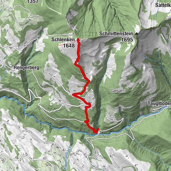
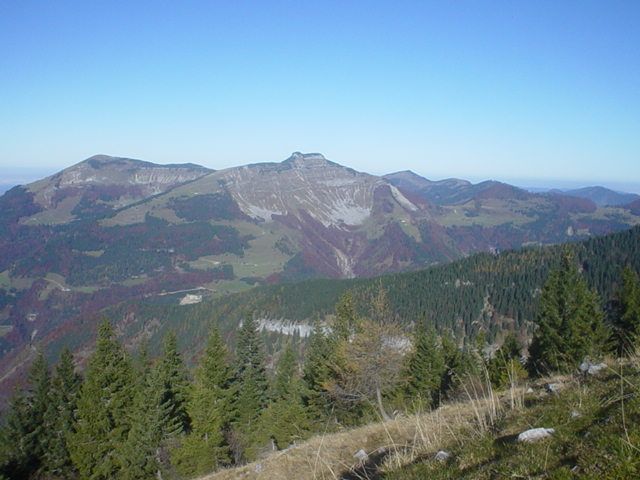
steiler, abwechslungsreicher, wenig begangener Wanderweg auf den Schlenken

Difficulty
medium
Rating
Technique
Fitness
Landscape
Experience
Route
Schlenken (1,648 m)
4.5 km

Best season
Jan
Feb
Mar
Apr
May
Jun
Jul
Aug
Sep
Oct
Nov
Dec
Highest point
1,645 m
Endpoint

Schlenken


Author
The tour St. Koloman: Schlenken is used by outdooractive.com provided.

Overall rating

5

0

%

4

0

%

3

0

%

2

0

%

1

0

%

Error
An error has occurred. Please try again.
Thank you for your review

Rating has been deleted

GPS Downloads
  • GPX GPS Exchange Format (XML)
  • KML Google Earth, Google Maps
QR Download Codes for Mobile Phones

General info

Refreshment stop
A lot of view
Other tours in the regions

Popular tours in the area

Hoher Göll Normalweg über Purtschellerhaus

medium Hiking
4.35km | 1155hm | 07:00h

Vormauerstein-Runde

medium Hiking
11.87km | 791hm | 03:26h

Nockstein

easy Hiking
3.35km | 160hm | 02:00h