© Tourismusverband Bergheim
© Tourismusverband Bergheim
© Tourismusverband Bergheim

© TVB Bergheim
Tour data
11.96km
410
- 584m
123hm
147hm
02:59h
- Brief description
-
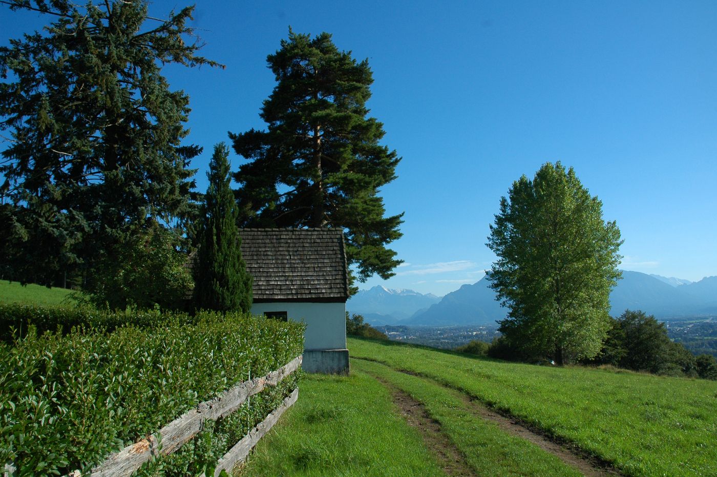
Lovely hike to the Voggenberg with unique viewpoints.
- Difficulty
-
medium
- Rating
-
- Starting point
-
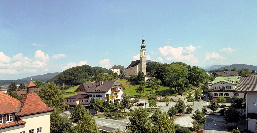
Village square Bergheim
- Route
-
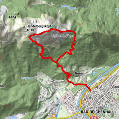
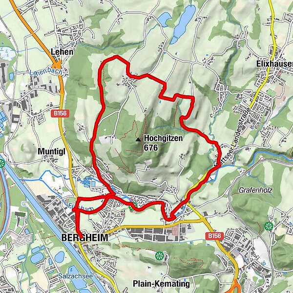
BergheimWegendmarkierung1.5 kmLengfelden3.0 kmViehausen4.2 kmHainach5.6 kmVoggenberg7.2 kmHolzbauer8.0 kmHolzbauerkapelle8.1 kmBergheim11.9 km
- Best season
-
JanFebMarAprMayJunJulAugSepOctNovDec
- Description
-
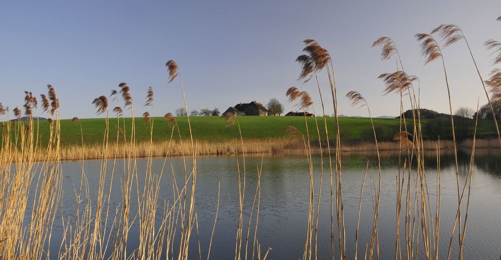
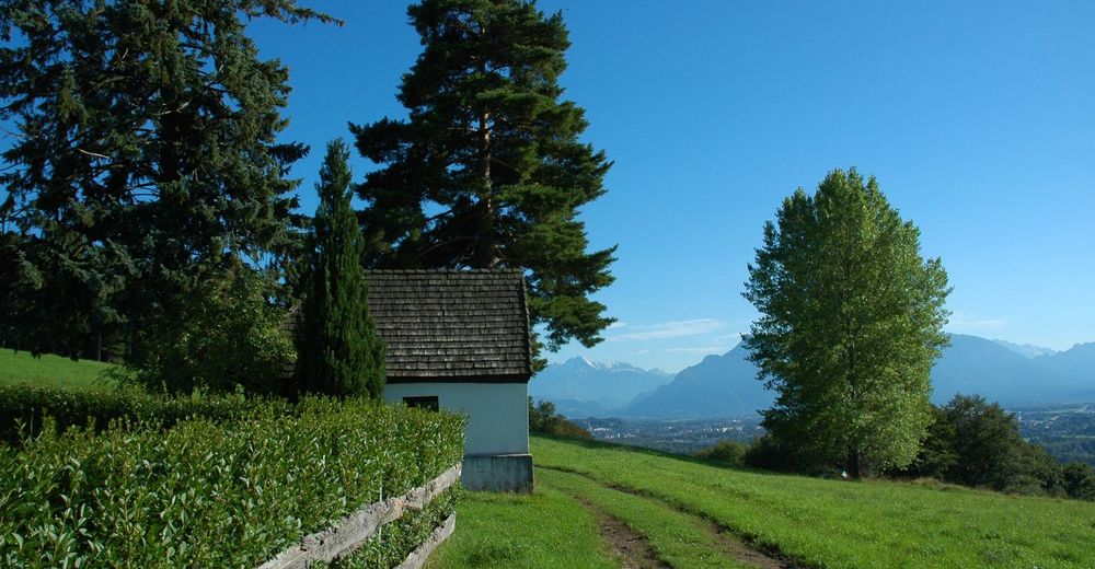
This challenging route leads along the banks of the Fischach to Lengfelden. Via Maria Sorg, Viehhausen, Hainach and Reit, you will come to the Voggenberg. From the so-called "Sandkuchl", you can enjoy beautiful panoramic views. Now return past Holzbauer Farm, initially on a beautiful forest path, then on the road to Bergheim, past the sports grounds and back to the town center.
- Highest point
- 584 m
- Endpoint
-
Dorfstraße Bergheim
- Rest/Retreat
-
Bergheim-center: Cafe Konditorei Rößlhuber, Franz - der Wirt, Hotel Gasthof Gmachl
Bergheim-Lengfelden: Gasthof Bräuwirth, Gasthof Fischachstubn - Ticket material
-
www.bergheim-tourismus.at
- Directions
-
Local train, car, bus No. 21
- Public transportation
-
Local train, bus No. 21
- Parking
-
Local train station Bergheim


- Source
- Tourismusverband Bergheim
GPS Downloads


Trail conditions
Asphalt
(80)
Gravel
(20)
Meadow
Forest
Rock
Exposed
Other tours in the regions
-
Stadt Salzburg & Umgebung
1490
-
Bergheim
291