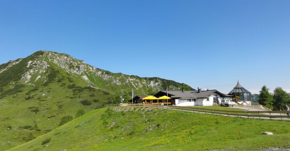


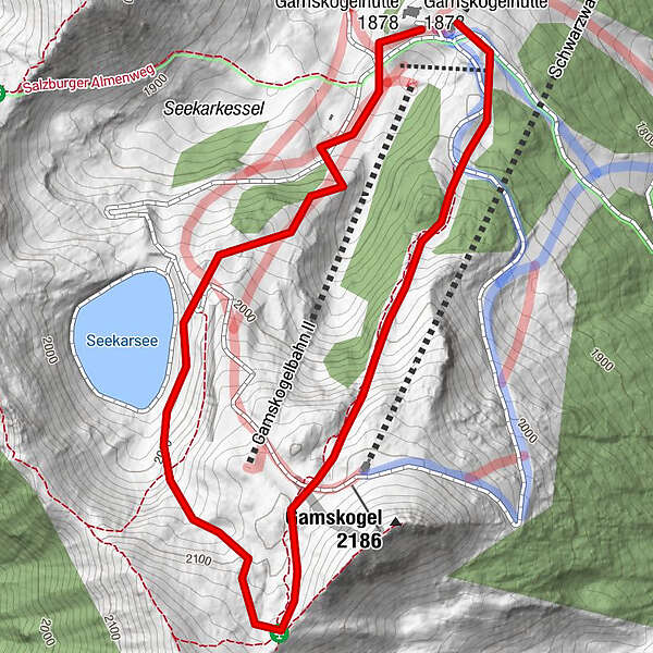
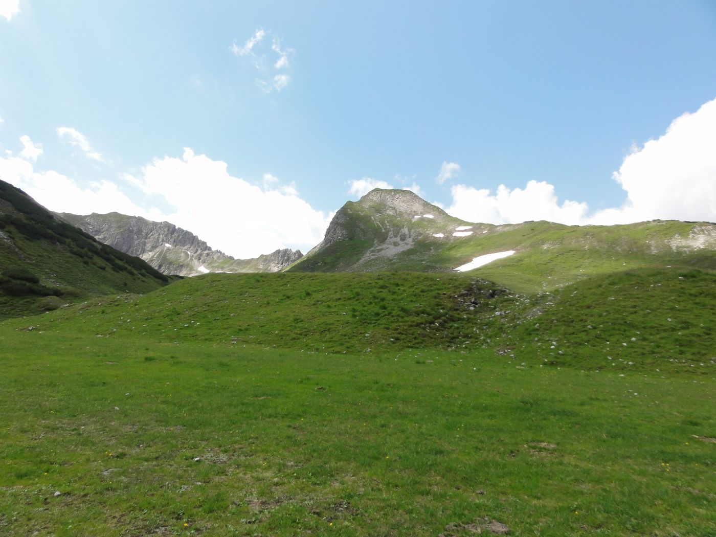
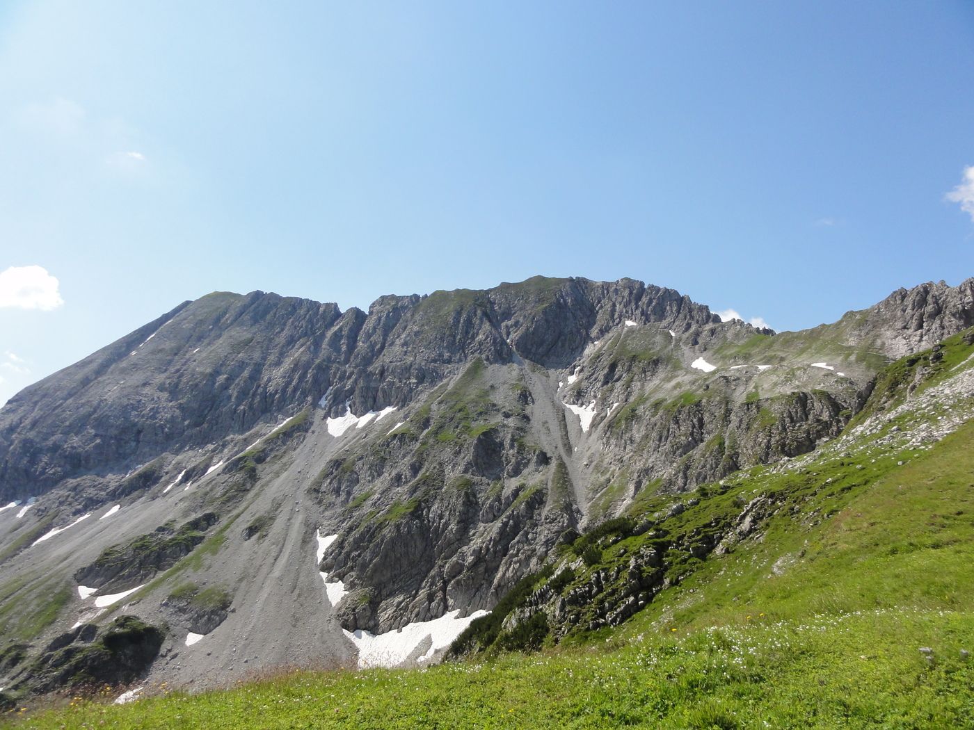
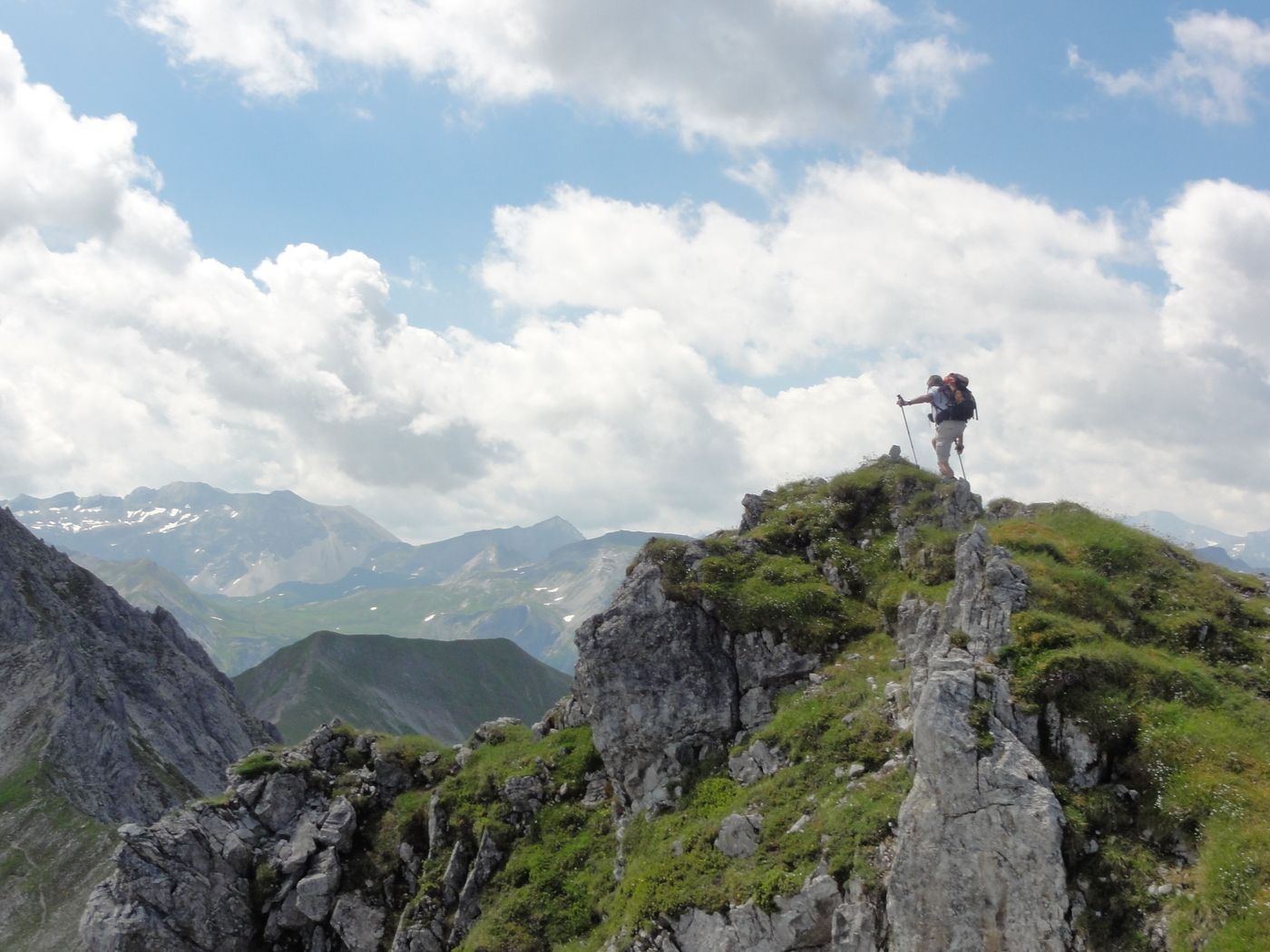
Tour data
3.04km
1,855
- 2,130m
512hm
02:00h
- Brief description
-
Wanderung mit Liftbenützung
- Rating
-
- Starting point
-
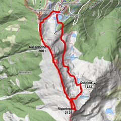
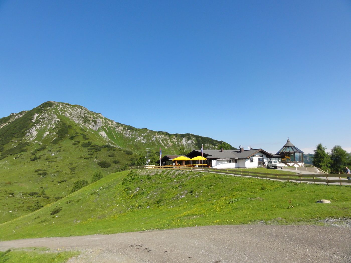
Gamskogelhütte- Liftendstation
- Route
-
Gamskogelhütte2.9 km
- Best season
-
JanFebMarAprMayJunJulAugSepOctNovDec
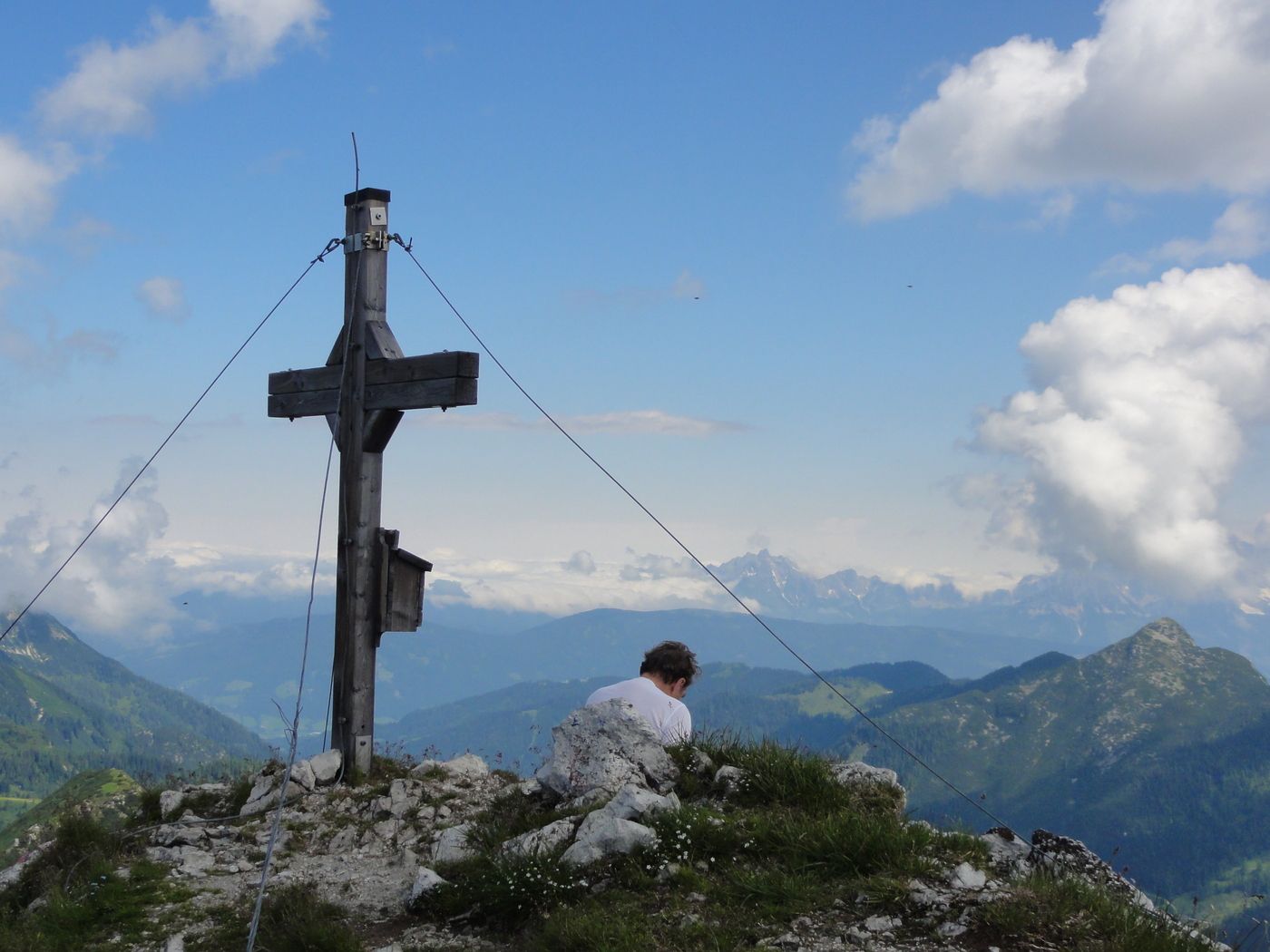
- Highest point
- 2,130 m
- Endpoint
-
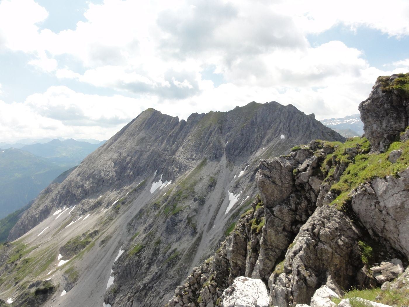
Schwarzkogel
- Rest/Retreat
-
Gamskogelhütte
GPS Downloads


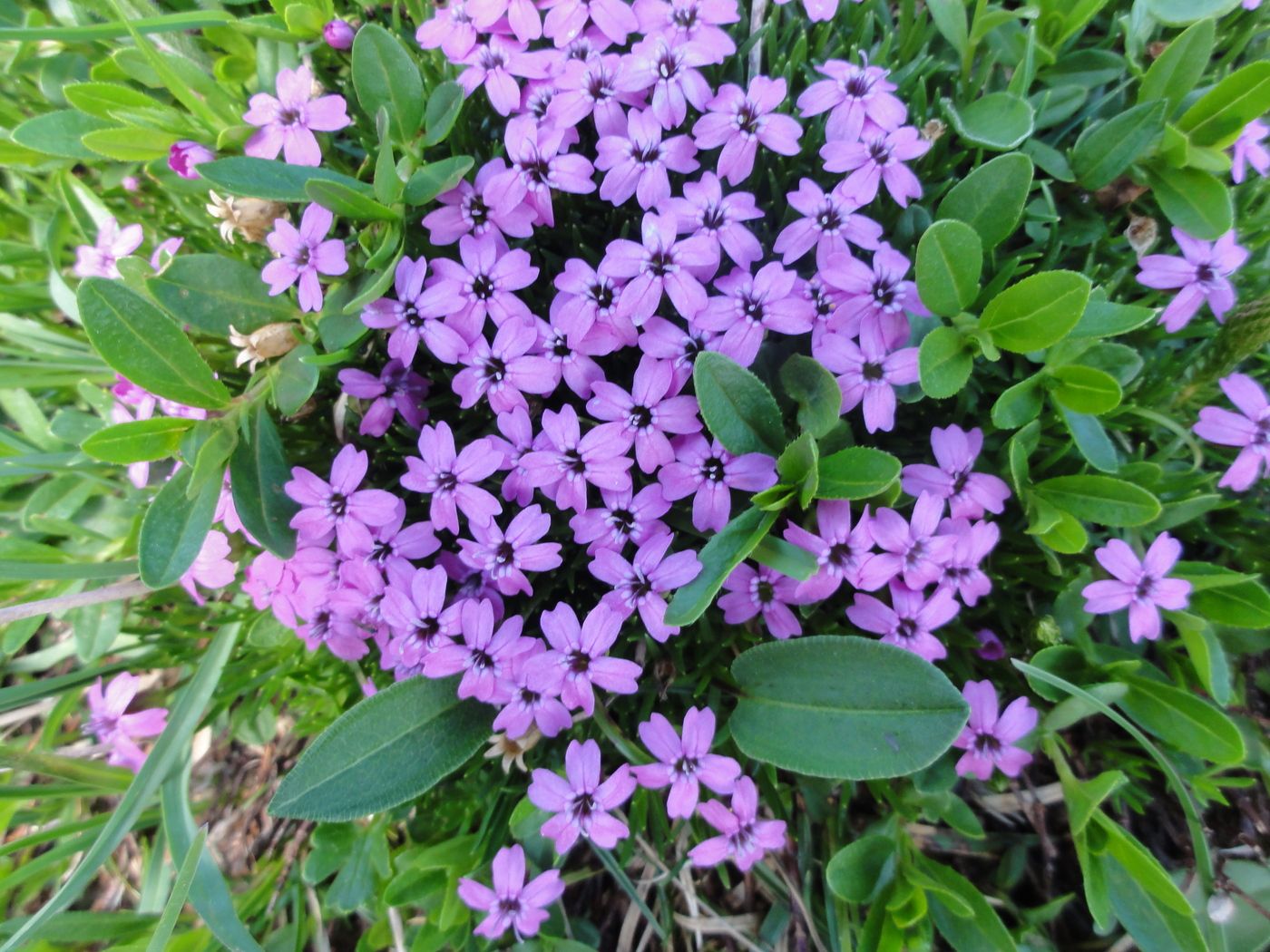
Trail conditions
Asphalt
Gravel
Meadow
Forest
Rock
Exposed
Other tours in the regions
-
Katschberg Lieser-Maltatal
2574
-
Obertauern
1648
-
Untertauern
504