© Mittersill Plus GmbH - Christine Reichholf

© Mittersill Plus GmbH - Christine Reichholf

© Mittersill Plus GmbH - Christine Reichholf
© © Matthias Stiel - Matthias Stiel

© Mittersill Plus GmbH - Christine Reichholf
© Ferienregion Nationalpark Hohe Tauern - Christina Moser
- Brief description
-
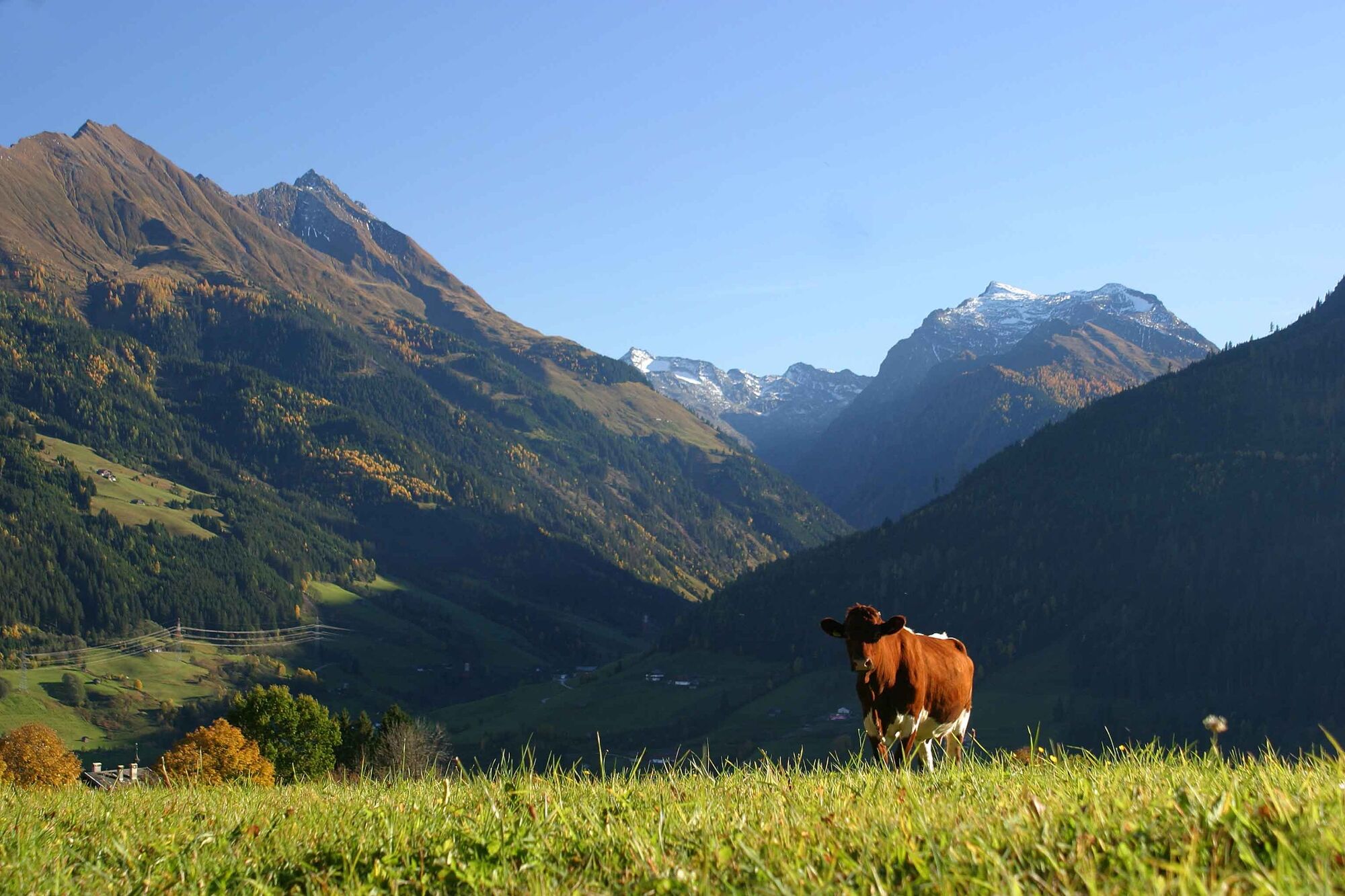
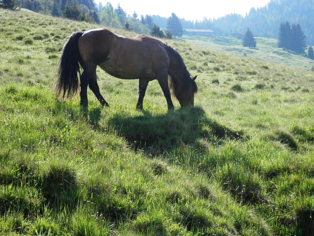
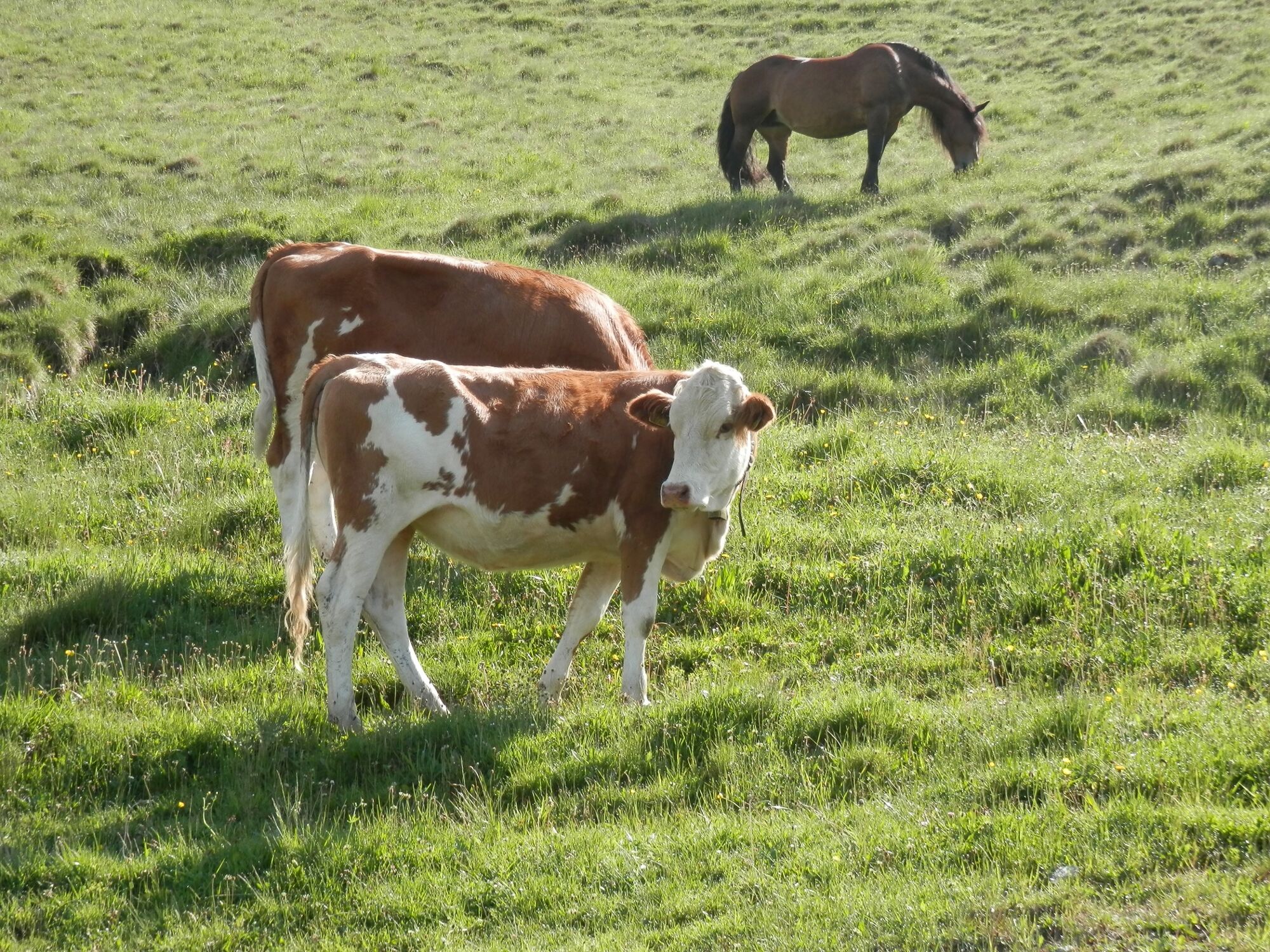
Genießen Sie die herrliche Almenlandschaft am Felberberg!
- Difficulty
-
medium
- Rating
-
- Route
-
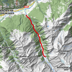
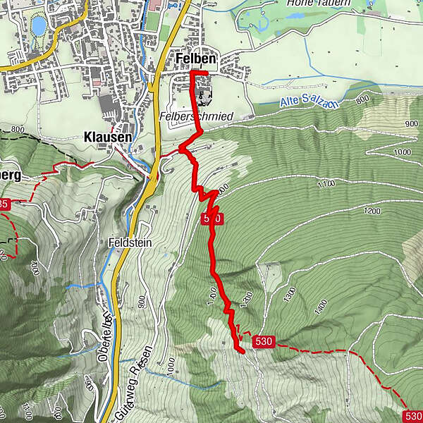
Felberkirche0.0 kmFelben0.1 kmMittersill0.1 kmMittersill4.8 kmFelberkirche4.8 kmFelben4.8 km
- Best season
-
JanFebMarAprMayJunJulAugSepOctNovDec
- Highest point
- 1,193 m
- Endpoint
-
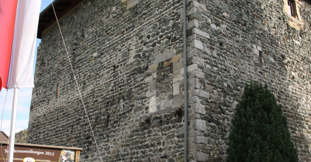
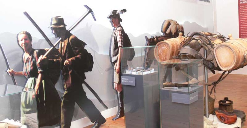
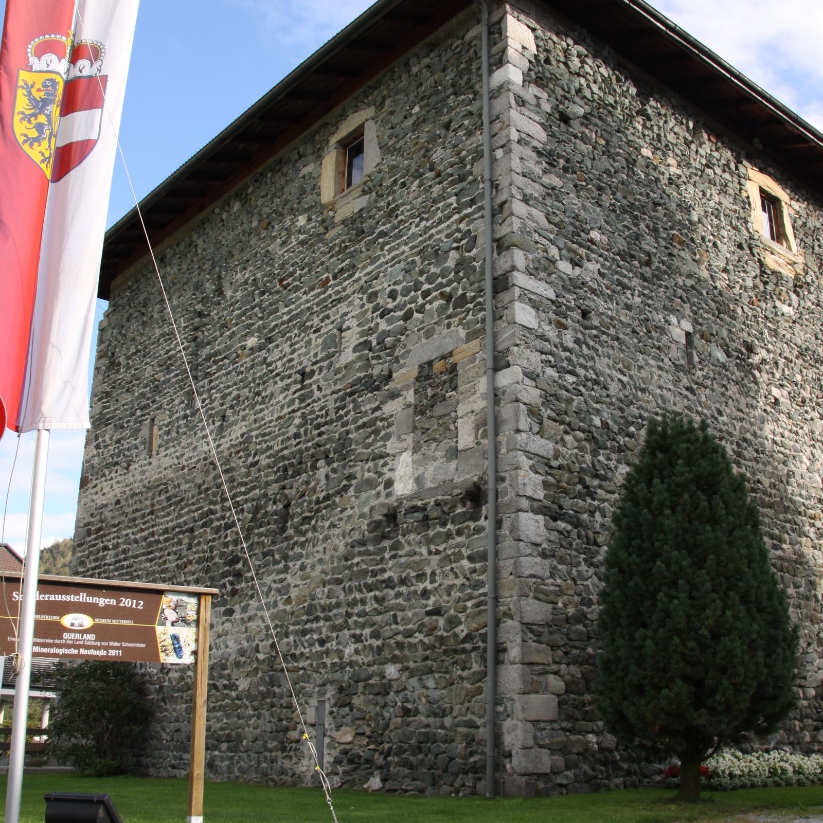
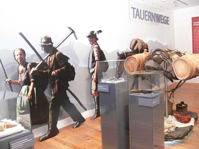
Felberturmmuseum Mittersill
- Height profile
-


- Author
-
The tour Mittersill: Ehrenfeuchten- Almgebiet Wegnr. 82A is used by outdooractive.com provided.
GPS Downloads


General info
A lot of view
Other tours in the regions