


- Brief description
-
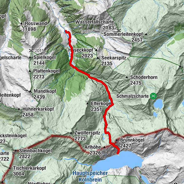
Demanding mountain tour, where you pass the Ötzlsee, the Schödersee (periodical) to the Kölnbreinspeicher.
- Difficulty
-
difficult
- Rating
-
- Starting point
-
Parking lot Hüttschlag valley end
- Route
-
Arlscharte (2,252 m)8.9 km
- Best season
-
JanFebMarAprMayJunJulAugSepOctNovDec
- Description
-
This mountain tour starts at the parking space at inn Talwirt. Here you will find local delicacies and you can buy smoked bacon. On the first floor of the Talwirt is the Bergwaldausstellung and an information point from the Hohe Tauern national park. The Hüttschlager Bauernladenstüberl is nearby, where you can also buy products from their own production. Right next door is the valley museum of the Grossarltal.
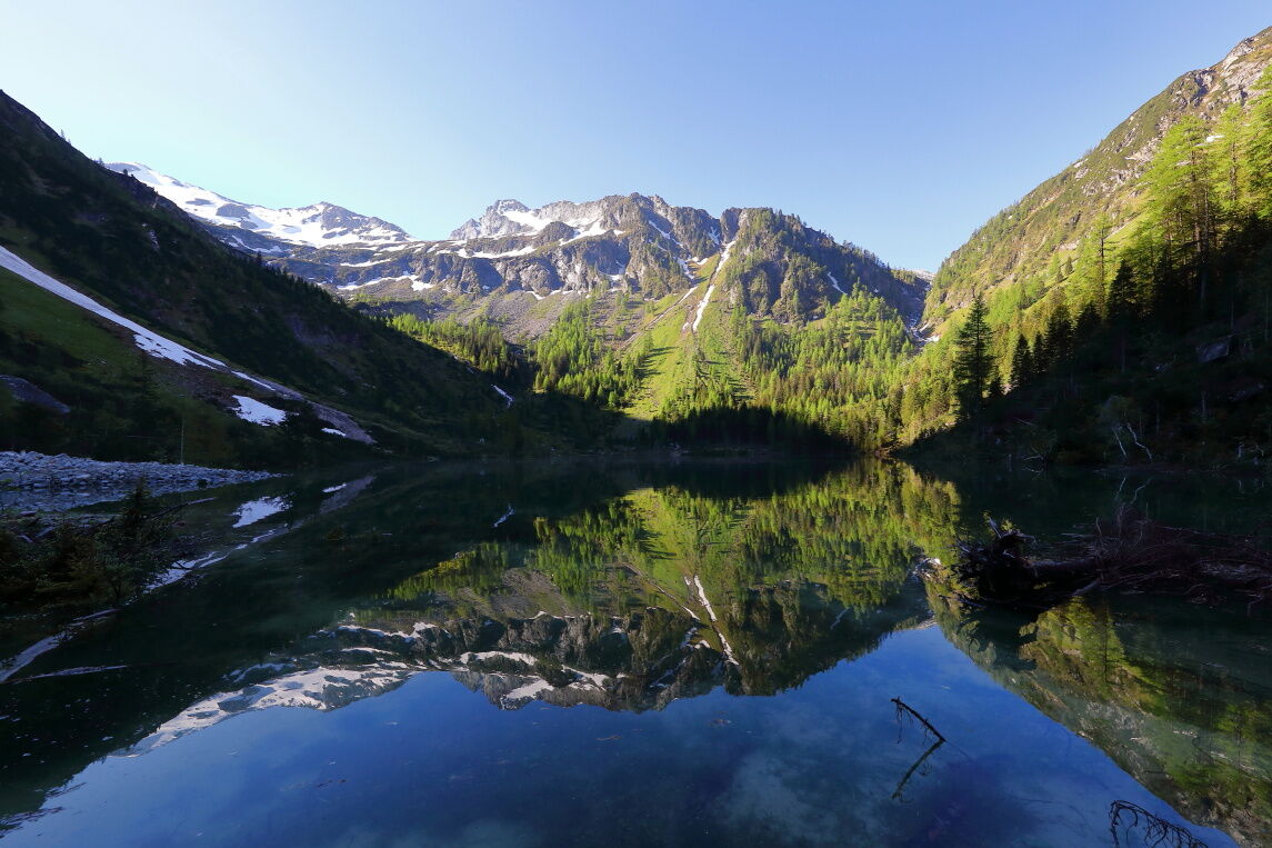
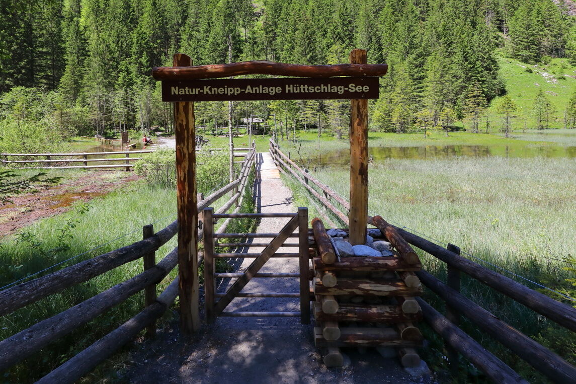
The path leads past the Stockham farm and past a game reserve and finally through meadows to the valley end of "Hüttschlag/See". Near the bridge, there is a Kneipp facility and a barbeque facility. Then you reach the Ötzlsee on the left hand-side.
The path continues along the river to the idyllic Schödertal (attention: the path is often slippery and wet, good shoes are absolutely necessary.)
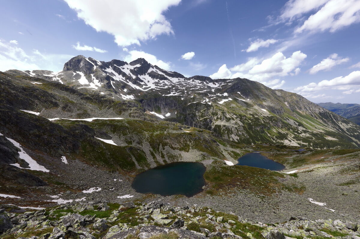
Finally you reach the Schödersee. This is a periodical mountain lake, which only fills itself during the snow is melting and after particularly heavy rains. During the summer, it is often entirely dry.
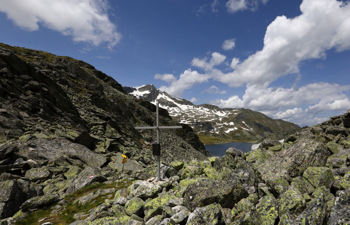
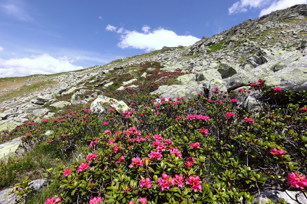
Ascent from Schödersee along the Kolmbach to the hut and further over several steps through the alpine area, which is full of rocks. You pass several small lakes, like the two Kolmsee, until you finally reach the Pfringersee ("Arlsee"). From there it is only a few meters up to the Arlscharte, 2,252 m, from where you have a magnificent view to the peaks of the Ankogel, 3,252 m and Hochalmspitze, 3,363 m.
Back on the same route.
- Directions
-
You go by car to Hüttschlag/Stockham - parking space at the valley end of Hüttschlag. You hike along the way (no. 512) to the Ötzlhütte (approx. 1/2 h). From here, you hike into the Schödertal to the Schödersee, 1,440 m (about 1 1/2 h). Ascent to the Arlscharte, 2,252 m (approx. 3 h).
Back on the same route.
- Highest point
- 2,260 m
- Endpoint
-
Arlscharte
- Height profile
-

- Equipment
-
hiking boots with grip sole, hiking map, beverages
- Safety instructions
-
The path to the Schödertal is sometimes slippery. Good shoes are required.
- Tips
-
From the Arschlarte, you reach the Arlhöhe in approx. 15 min. There you have a great view to the surrounding mountains.
- Additional information
- Directions
-
You go by car or public bus no. 540 to Hüttschlag and further to the valley end to Stockham.
- Public transportation
- Parking
-
Parking lot Hüttschlag valley end
- Author
-
The tour Hüttschlag: Arlscharte - Kölnbreinspeicher is used by outdooractive.com provided.


General info
-
Katschberg Lieser-Maltatal
2574
-
Großarltal
2171
-
Hüttschlag
852


