
- Brief description
-
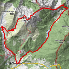
Trail markings 25, 25a, 25b
Walking time to Karalm 1 hour, to Gsengalm 2 hours, circular route 3 1/2 hours
Route length: 10km/800Hm
Level of difficulty: easy up to Karalm, medium on section Karalm to Gsengalm
- Difficulty
-
medium
- Rating
-
- Starting point
-
car park valley station Karkogel, Abtenau
- Route
-
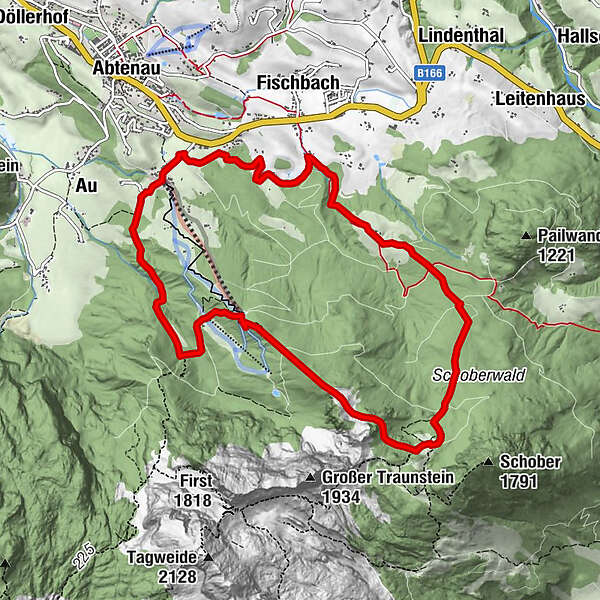
Au0.2 kmKarkogelbahn2.7 kmKarkogelhütte2.7 kmGsengalmhütte4.9 kmEggenreit7.5 kmFischbachreit9.0 km
- Best season
-
JanFebMarAprMayJunJulAugSepOctNovDec
- Description
-
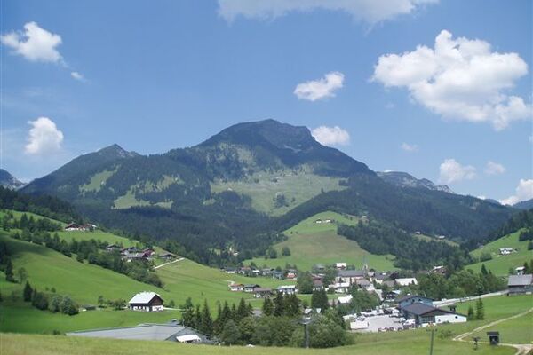
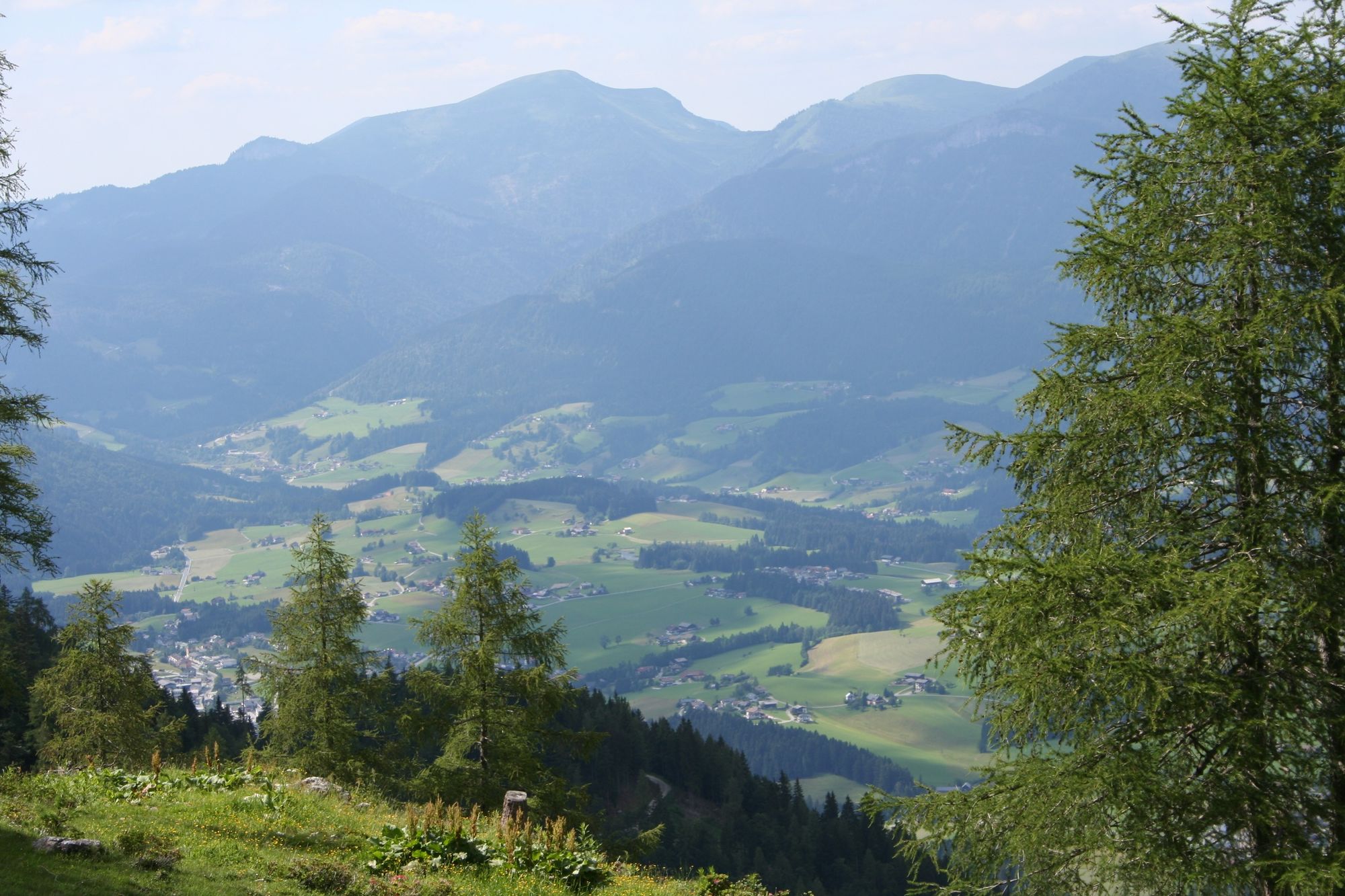
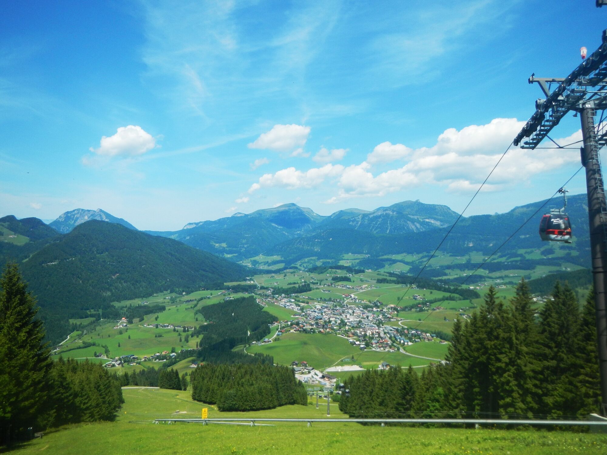
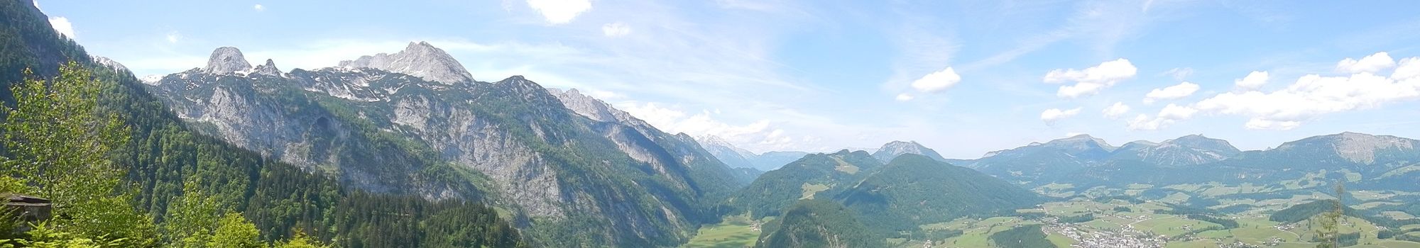
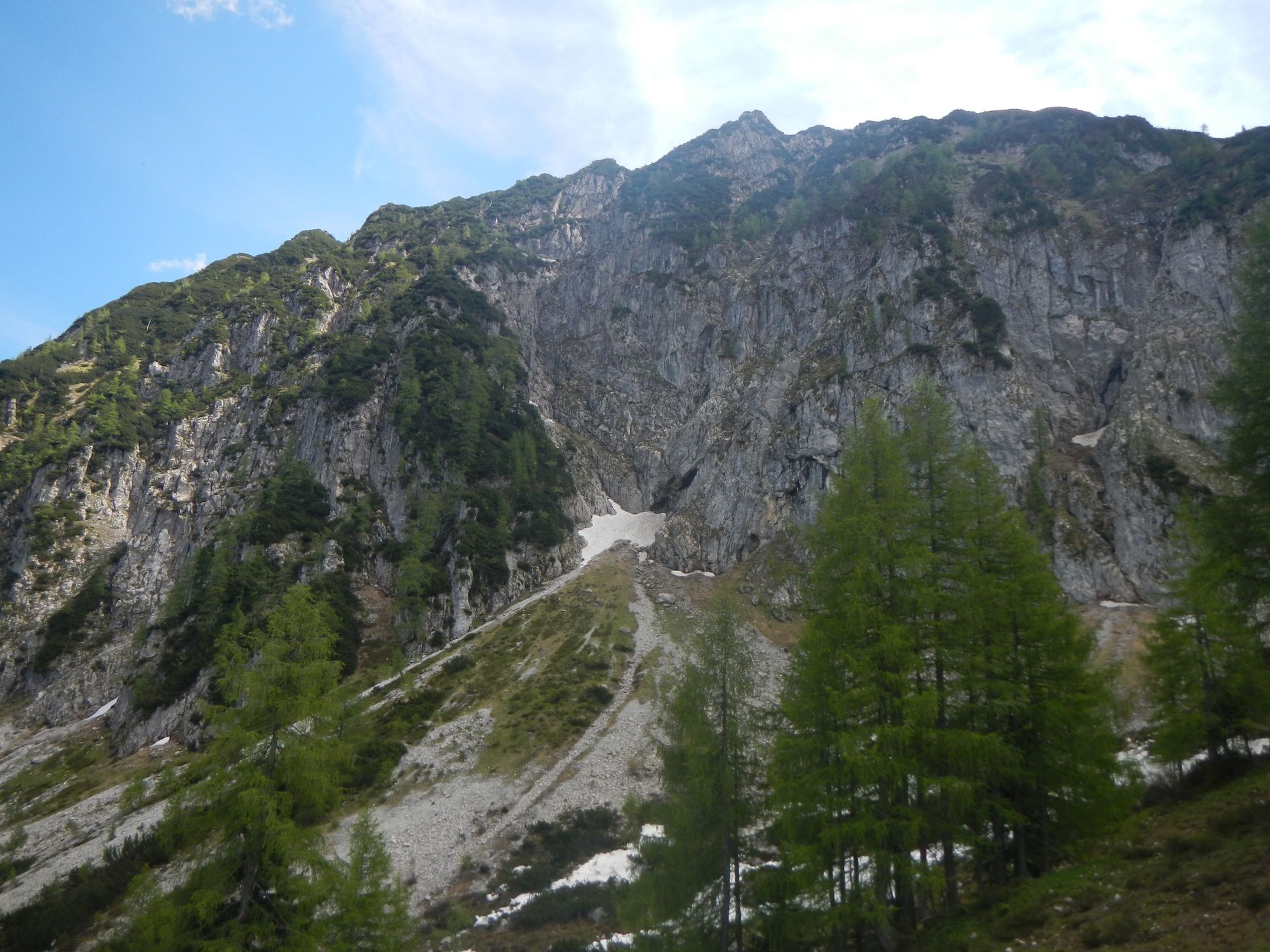
A beautiful circular trail to the Karalm and Gsengalm with a magnificent view of the Abtenau basin.
- Directions
-
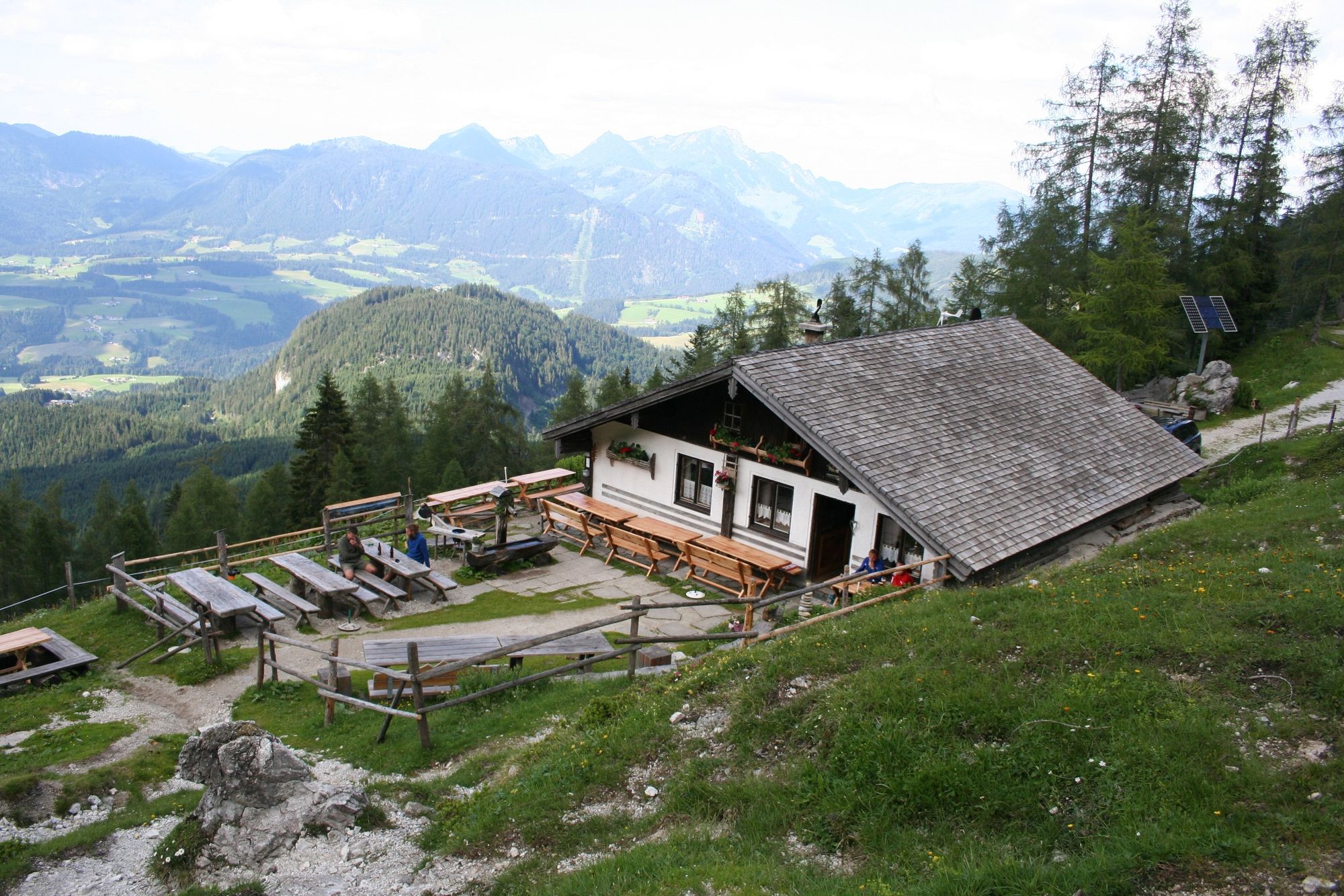
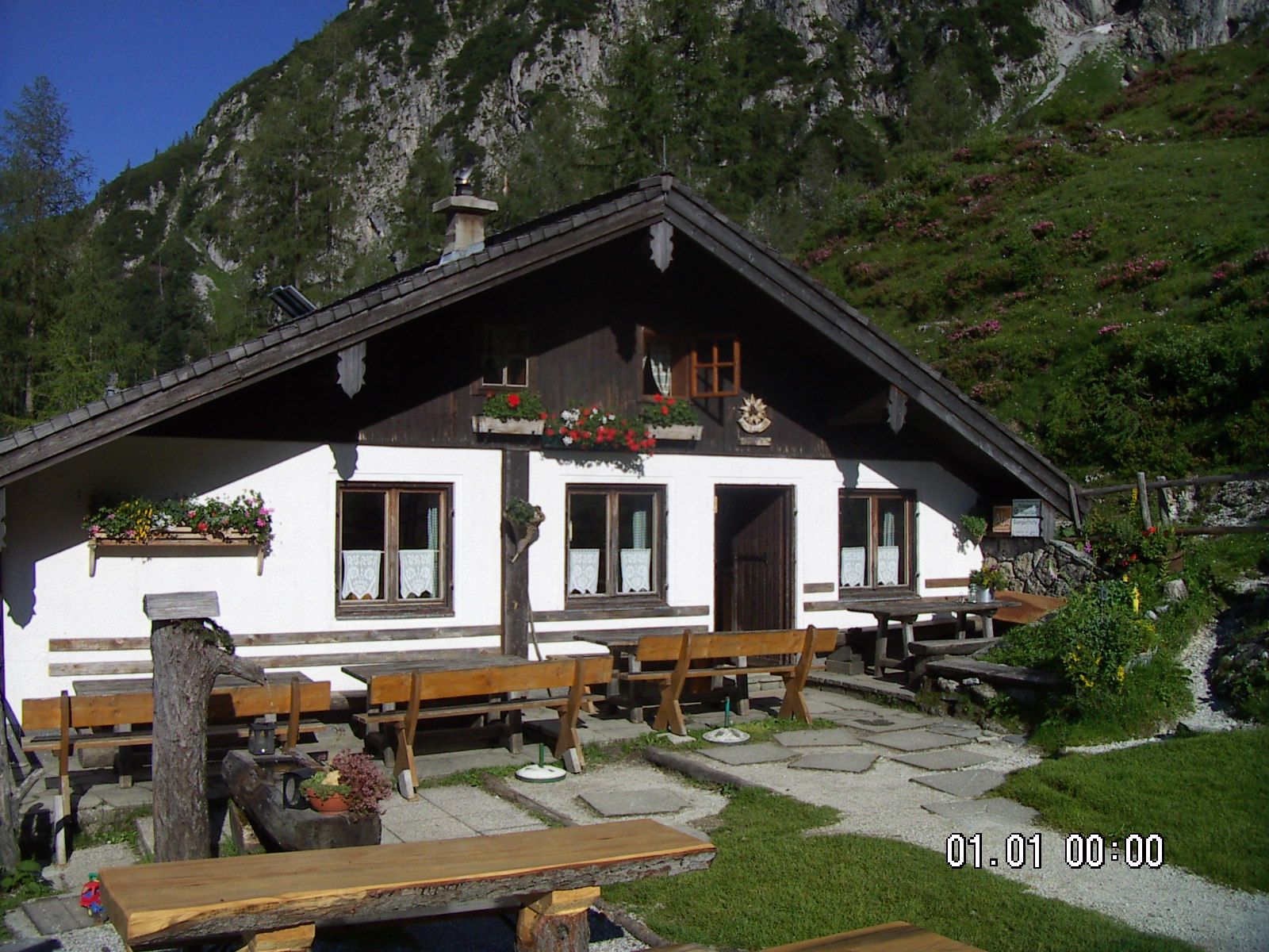
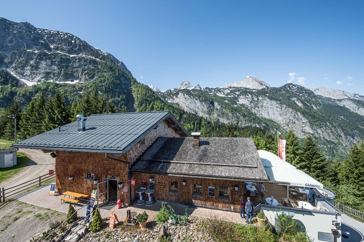
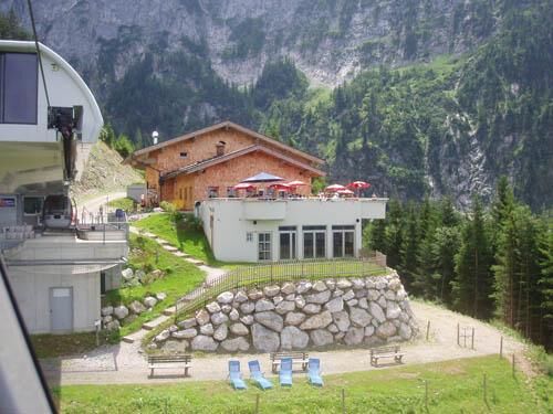
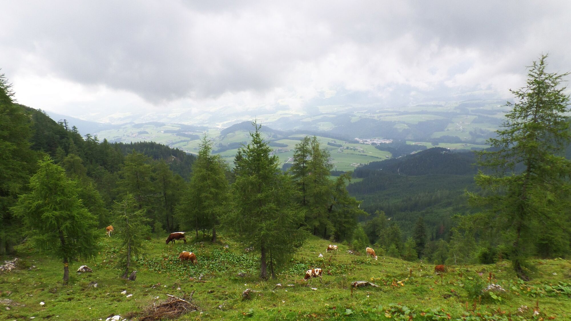
Right next to the summer toboggan run (H Karkogelbahn), the forest/meadow path leads up to the Kohlhof snack station. Continue on the goods road and forest road to the Karalm (3 points), left through the forest up to the Karkogel hut. About 100 m after the hut, turn left into the Karriedel until you reach the Gsengalm (1,447 m, 8 points). The steep descent through the Schoberwald forest leads to the forest road, which you cross to the left and continue straight ahead to the next forest road. Follow this downhill to Fischbach to the main road (H Fischbach). Turn left along the main road back to the starting point.
Alternative Karkogel 25a:
From the Gsengalm through the Schoberwald down to the forest road. Here we leave trail 25 and follow the forest road (trail 25a) to the left until we reach the junction to the Karkogelbahn. From here, the trail leads slightly uphill again to the mountain station of the Karkogelbahn, from where you can take the path you came from at the beginning back to the valley station. If the summer toboggan run is still in operation, you should not miss the opportunity to take it down to the valley.
Variant Karkogel 25b:
The forest road can be used from the Karkogelhütte up to the Gsengalm. The ascent thus takes a little longer, but is much more comfortable and energy-saving.
- Highest point
- 1,489 m
- Endpoint
-
car park valley station Karkogel, Abtenau
- Height profile
-

- Equipment
-
Suitable hiking clothing, hiking boots
- Safety instructions
-
There are no special safety instructions to be observed.
- Tips
-
Traunstein inn and hotel: Fam. Pendl, open all year, Tel. 06243/2438, www.gasthaustraunstein.at
Kohlhof inn: open all year, Tel. 06243/2411
Gsengalm: 1447 m, open from mid-June to early October, overnight accommodation possible, Tel. 0664/3575153
Karkogelbahn (mountain railway): open from the beginning of May to mid-October and from mid-December to mid-March, Tel. 06243/2432
Summer toboggan run: operating times from the beginning of May to mid-October, Tel. 06243/2432
- Additional information
- Directions
-
From the centre of the village it is only a few kilometres by car to the Karkogelbahn valley station.
- Public transportation
-
Take the post bus to the Karkogel valley station (H Karkogelbahn).
- Parking
-
car park Karkogel, Abtenau
-

-
AuthorThe tour Abtenau: Karalm - Gsengalm (11 points) is used by outdooractive.com provided.


General info
-
Salzkammergut Oberösterreich
3078
-
Salzburger Sportwelt
2192
-
Abtenau
408