- Brief description
-
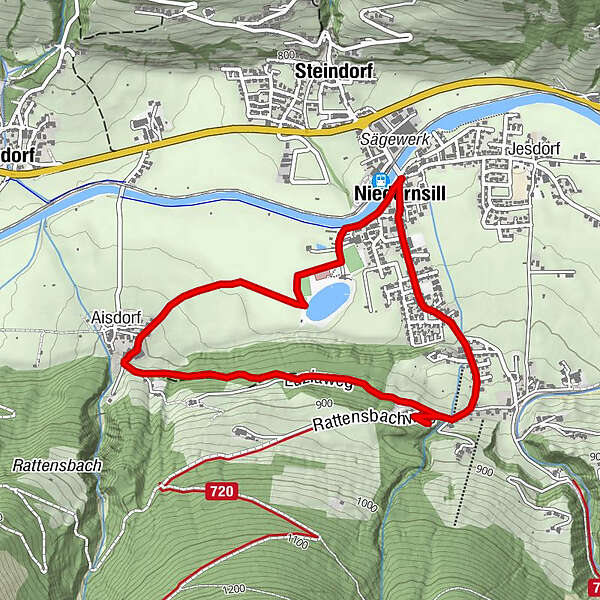
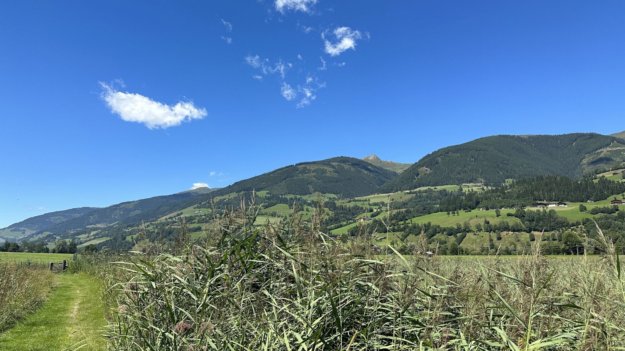
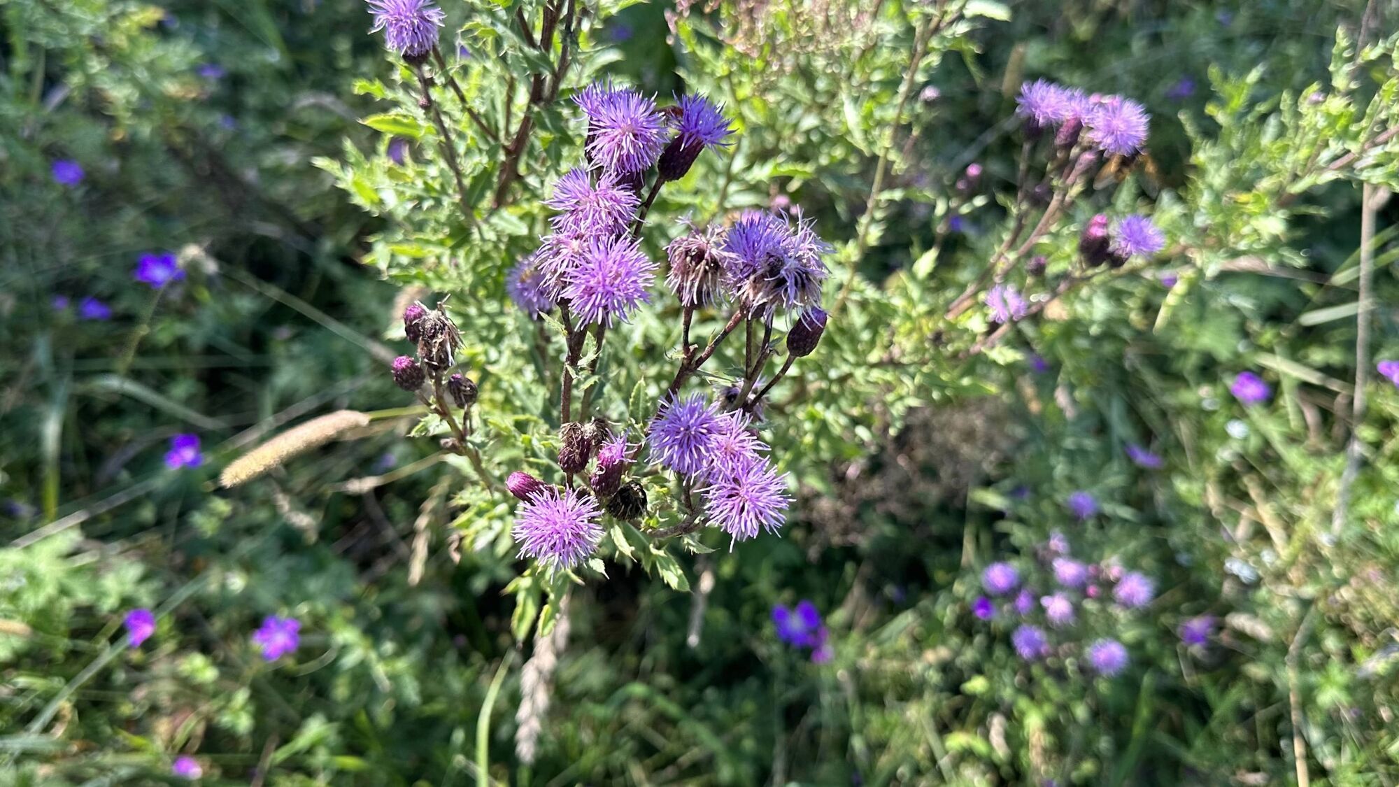
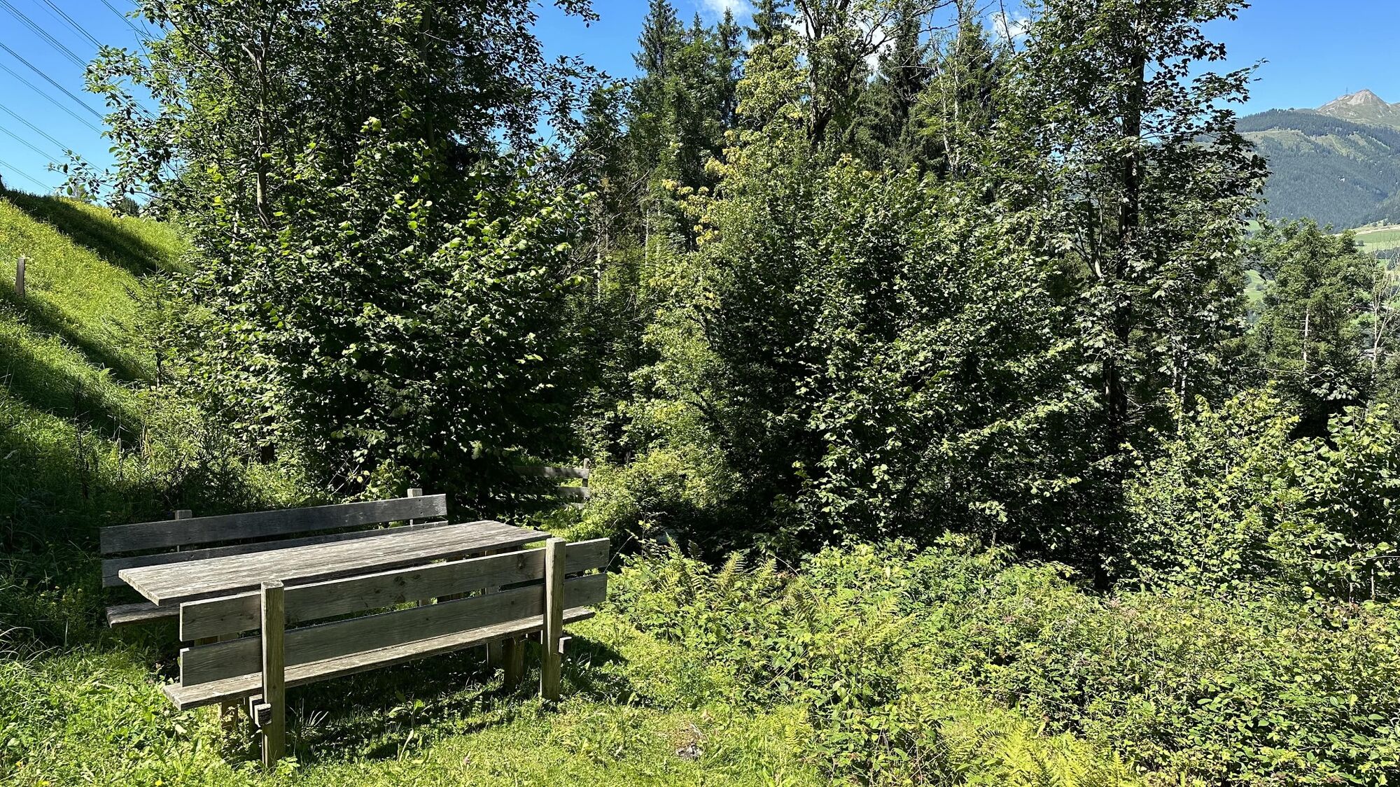
Let yourself be inspired by the diversity of nature and magnificent surroundings on the certified theme trail past the scenically protected "Luzia-Lacke".
- Difficulty
-
easy
- Rating
-
- Starting point
-
Hiking info point Niedernsill
- Route
-
Pfarrkirche hl. Luzia0.1 kmAisdorf1.6 kmCafe Zur Pinzgauerin4.2 kmPfarrkirche hl. Luzia4.4 kmNiedernsill4.7 km
- Best season
-
JanFebMarAprMayJunJulAugSepOctNovDec
- Description
-
Crosses, wayside crosses, chapels and wayside shrines belong to the treasures of our cultural landscape. They shape the overall picture of a village and are valuable local witnesses of deeply rooted devotion.
- Directions
-
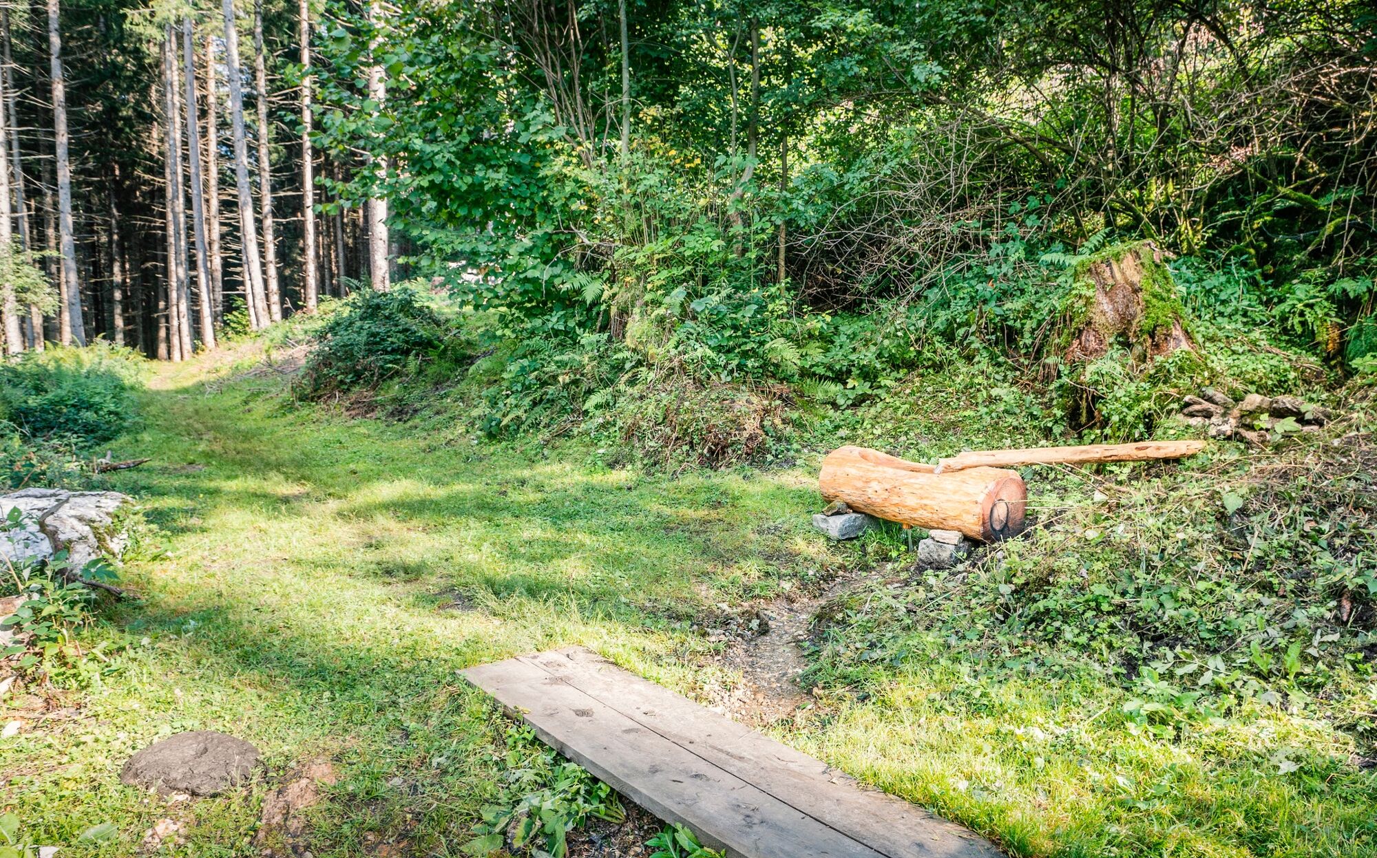
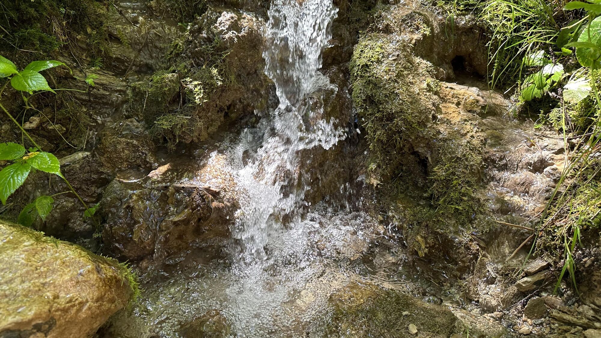
Starting from the hiking info point you walk along the Salzachstraße to the parking lot of the bathing lake. Turn left and continue in the direction of the bathing lake. Shortly before it, turn right and follow path no. 1A past the Luzia biotope to Aisdorf. Walk uphill along the road, keep left and hike onto hiking trail no. 1 to the Liebesbrunnen. Now the roads Zillerstraße and Dorfstraße leads back to the starting point.
- Highest point
- 869 m
- Endpoint
-
Hiking info point Niedernsill
- Height profile
-

- Equipment
-
Sturdy shoes, drink
- Safety instructions
-
Dear nature lovers!
We hope that the snacks and drinks you take with you on your hike will give you the strength to carry back the packaging material and empty cans and bottles.We kindly ask you to observe the Fair Play & Rules of Conduct!
Fairness and mutual consideration form the basis for a common together and the protection of the various interests in the natural region!
- Tips
-
Visit the Noriker museum in the Samerstall.
- Additional information
- Public transportation
- Parking
-
Sufficient parking available in the village square.


- Author
-
The tour Niedernsill: Luziarunde is used by outdooractive.com provided.