


- Brief description
-
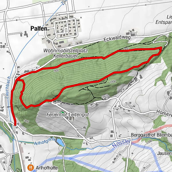
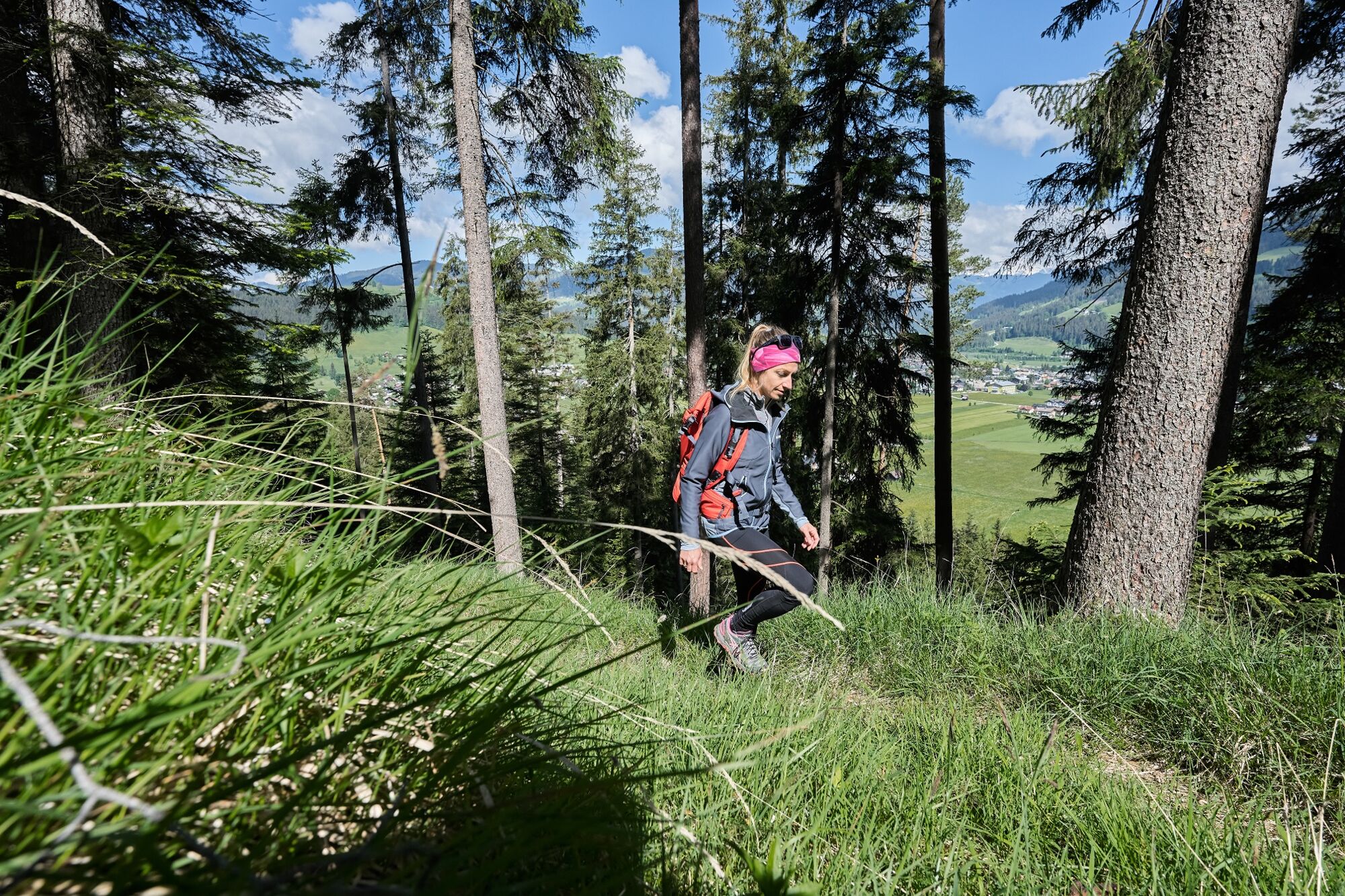
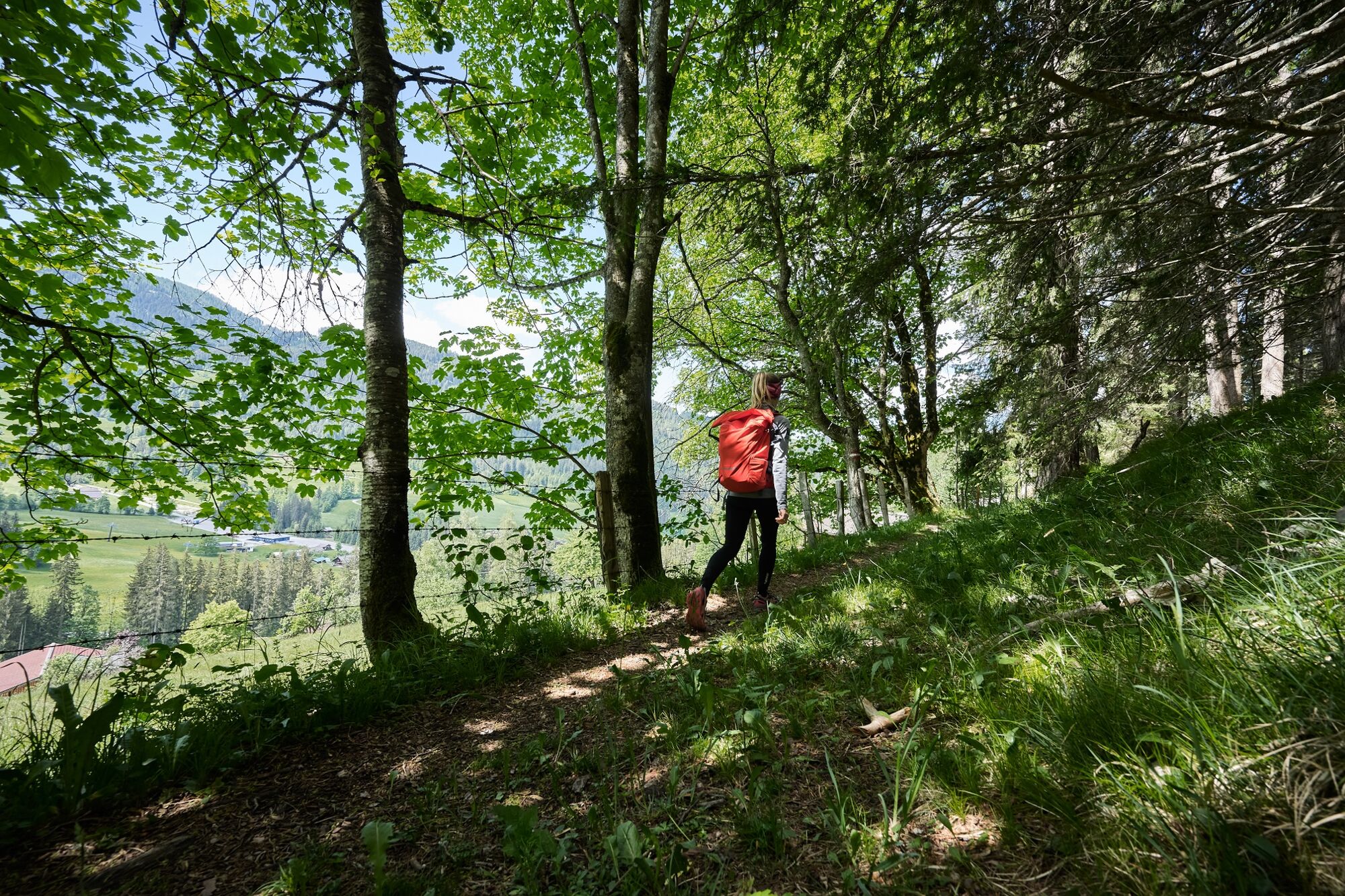
The Eckwald circular route leads through the enchanting southern Eckwald in a low mountain range.
- Difficulty
-
medium
- Rating
-
- Starting point
-
From the start point at the Ameisenberg, at the Rettenbach road
- Route
-
Plum Restaurant0.0 kmPalfen2.7 kmPlum Restaurant3.3 km
- Best season
-
JanFebMarAprMayJunJulAugSepOctNovDec
- Description
-
At the highest point of the Eckwald you can expect a wonderful panoramic view of the town of Altenmarkt and the surrounding mountains: Roßbrand, Hoher Dachstein - Bischofsmütze and Tennengebirge.
- Directions
-
From the start point at the Ameisenberg recreational area on Rettenbach road, go up the road parallel to the ski piste to the Zauchtalerhof riding stables (600m). From there take the forest path behind the arena, through the forest to the taxi station and down the road back to the start.
- Highest point
- 1,010 m
- Endpoint
-
From the start point at the Ameisenberg, at the Rettenbach road
- Height profile
-

- Equipment
-
Sturdy shoes, rain protection
- Safety instructions
-
Sure-footed
- Additional information
- Directions
-
Tauernautobahn A 10, exit Altenmarkt (EXIT 63), exit Altenmarkt West, direction Zauchensee, from the church 2.2 km direction Zauchensee, on the left hand side parking lot Hochbifangbahn
- Public transportation
- Parking
-
Parking lot at the Hochbifangbahn, 200 meters towards Altenmarkt, turn right onto the Rettenbachweg to the starting point of the Ameisenberg
-

-
AuthorThe tour Eckwald Forest Circuit is used by outdooractive.com provided.


-
Schladming - Dachstein
3003
-
Salzburger Sportwelt
2191
-
Altenmarkt-Zauchensee
587


