


- Brief description
-
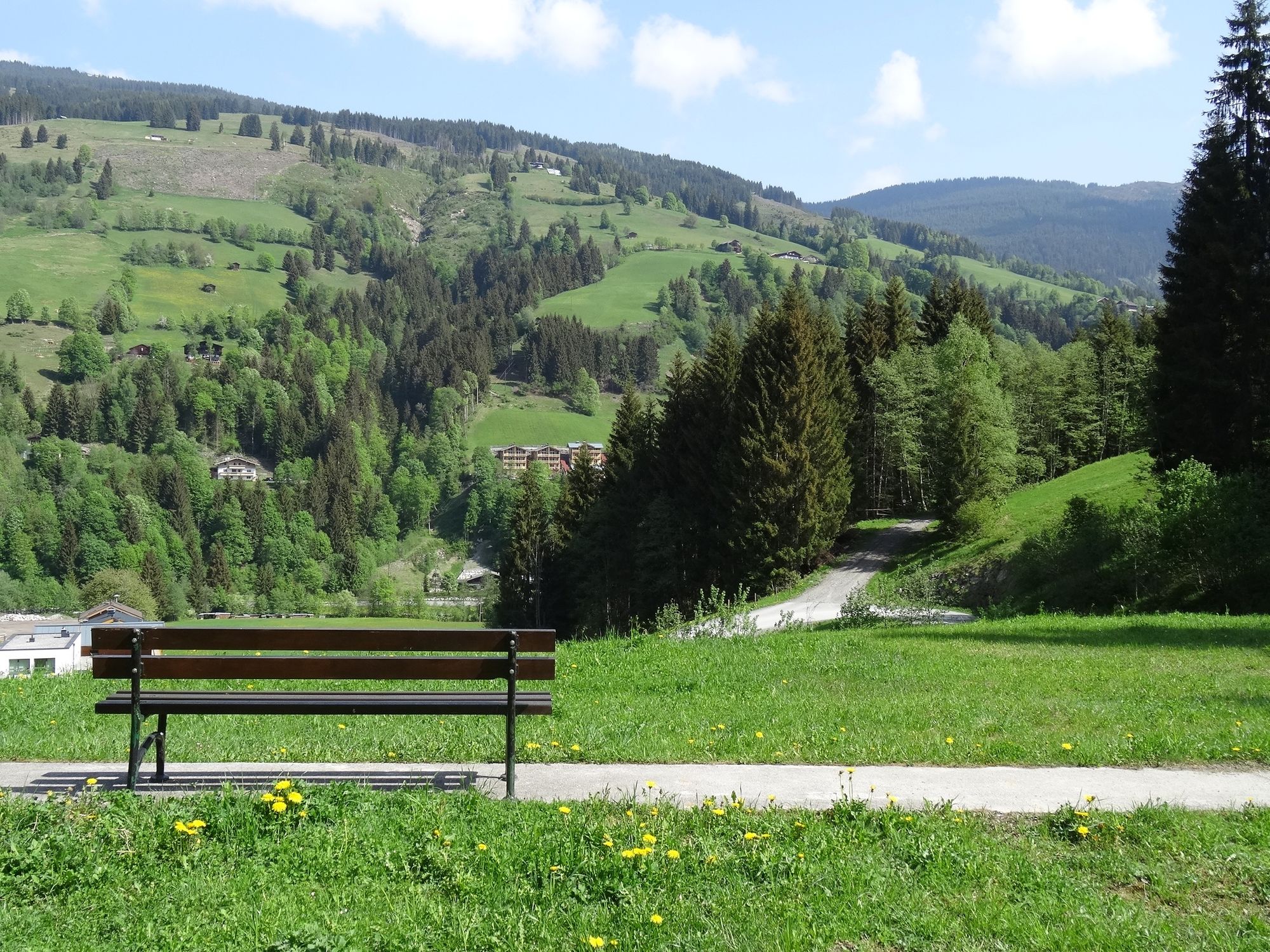
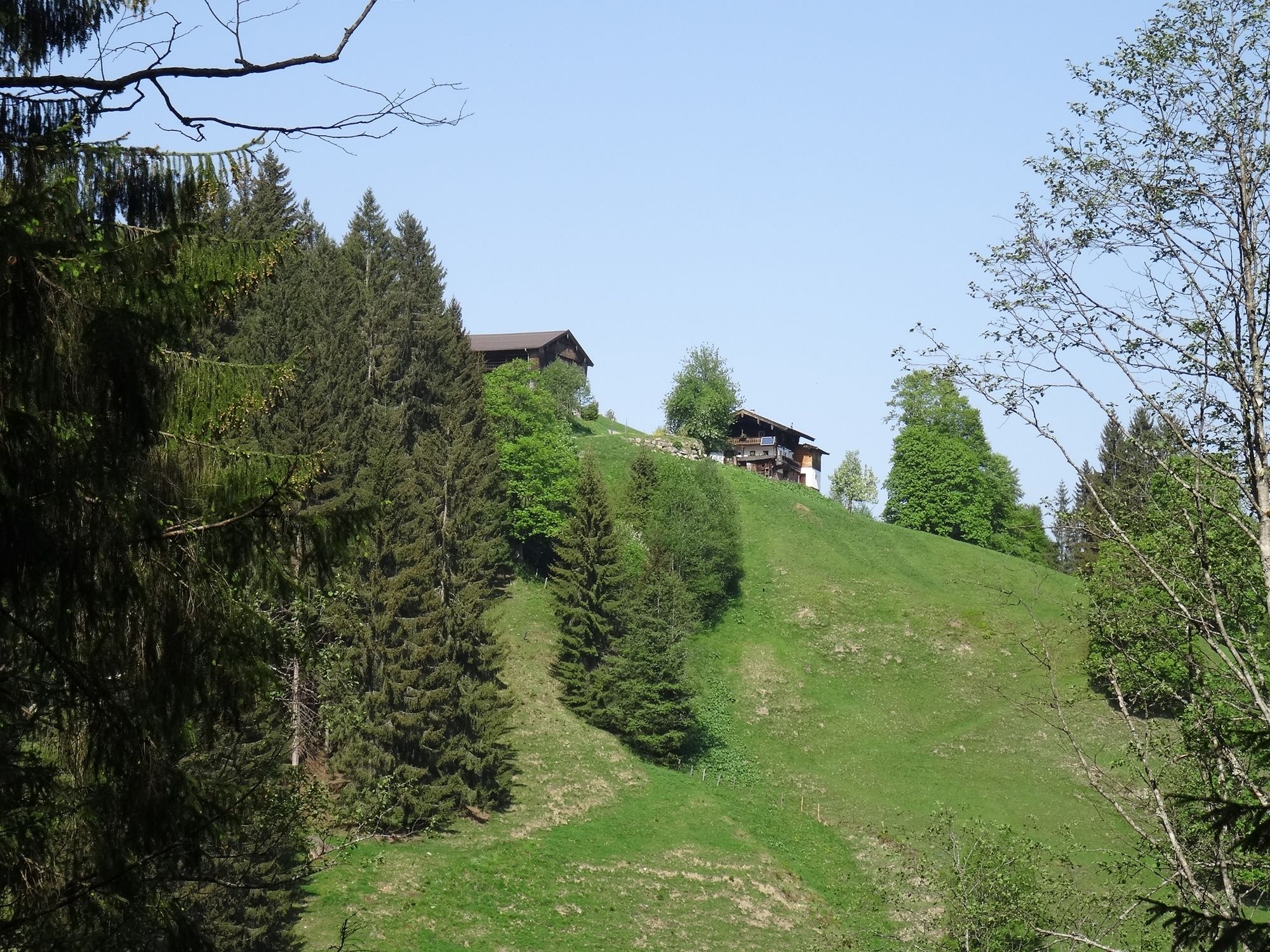
Ideal on hot days: a short hike on the shady side of Viehhofen.
- Difficulty
-
easy
- Rating
-
- Starting point
-
Tourist office
- Route
-
ViehhofenKreuzerlehen2.6 kmRestaurant Dorfstadl3.2 km
- Best season
-
JanFebMarAprMayJunJulAugSepOctNovDec
- Description
-
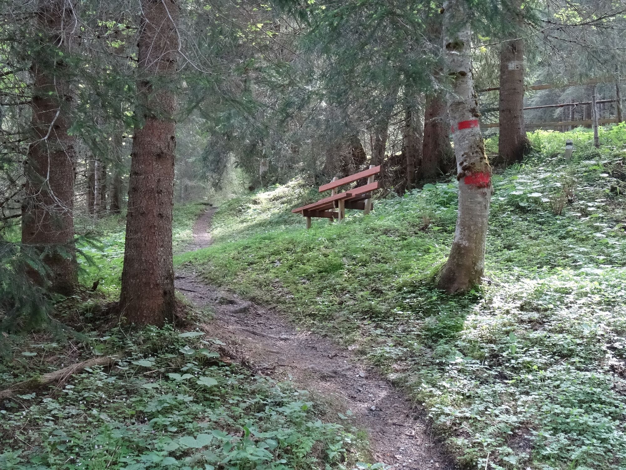
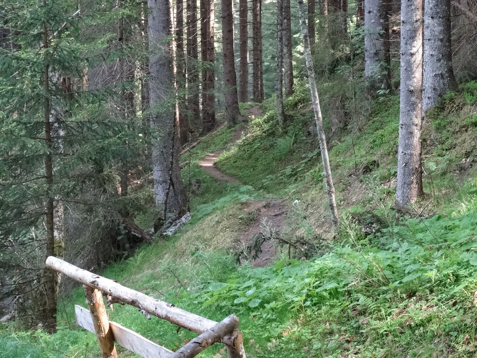
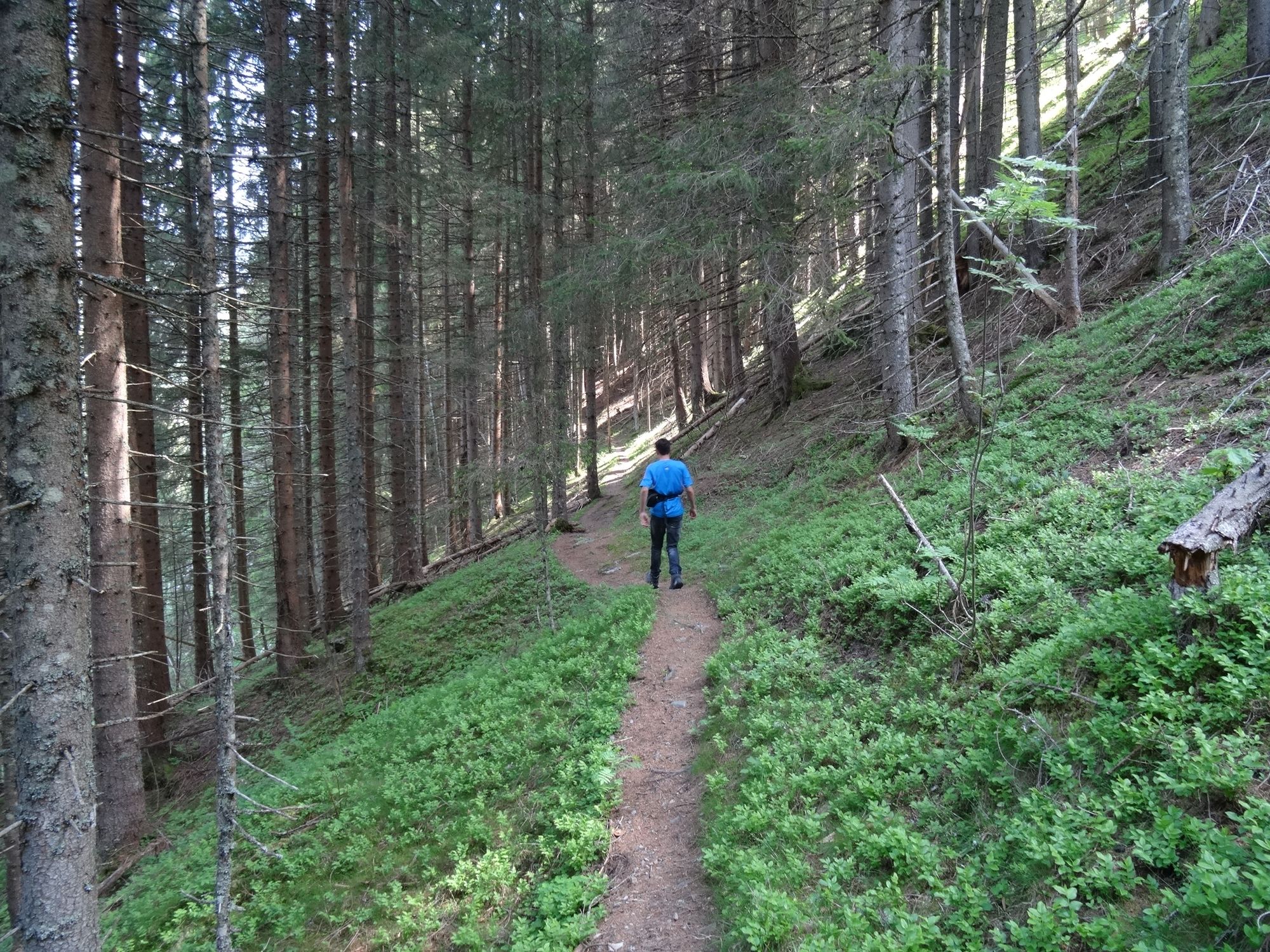
A varied hike through the forest and over hill and dale. View on Viehhofen included.
- Directions
-
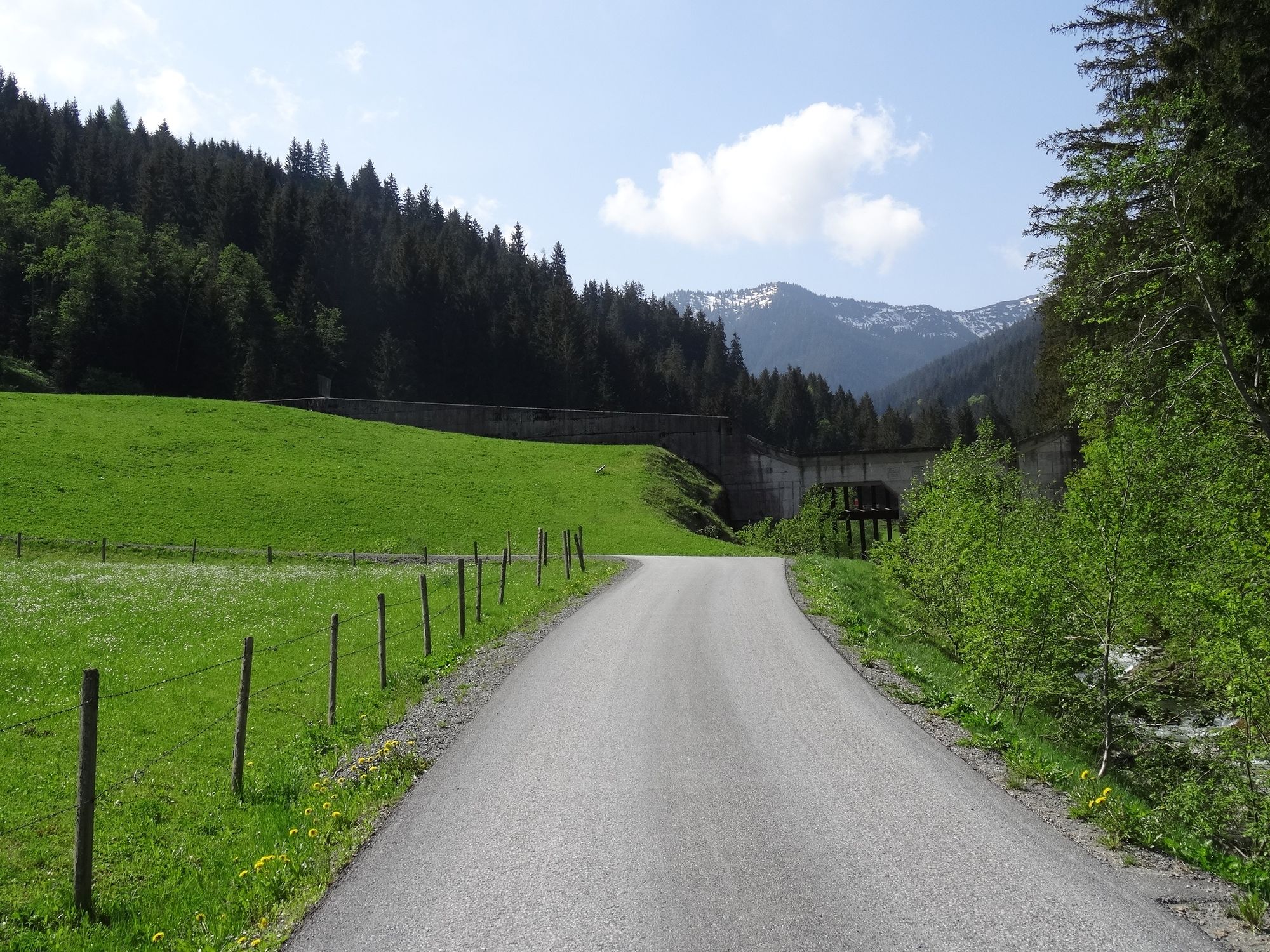
Cross the main road, the parking area and go over the bridge, then follow on the right-hand side of the sign post Waldweg. The trail leads into a forest road, follow it to the main road past the bridge, turn right and follow the walking/cycling path back to the Tourist Service Centre.
- Highest point
- 1,002 m
- Endpoint
-
Tourist office
- Height profile
-


- Author
-
The tour Forest Path is used by outdooractive.com provided.
GPS Downloads


Other tours in the regions
-
Zell am See - Kaprun
1501
-
Viehhofen
504


