© Zell am See-Kaprun Tourismus GmbH - Dominik Wartbichler

© Zell am See-Kaprun Tourismus GmbH - Dominik Wartbichler

© Zell am See-Kaprun Tourismus GmbH - Dominik Wartbichler

© Zell am See-Kaprun Tourismus GmbH - Dominik Wartbichler

© Zell am See-Kaprun Tourismus GmbH - Dominik Wartbichler

© Zell am See-Kaprun Tourismus GmbH - Dominik Wartbichler

- Brief description
-
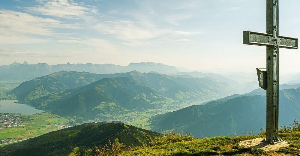
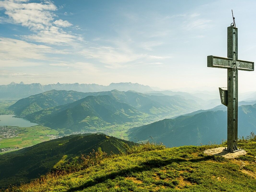
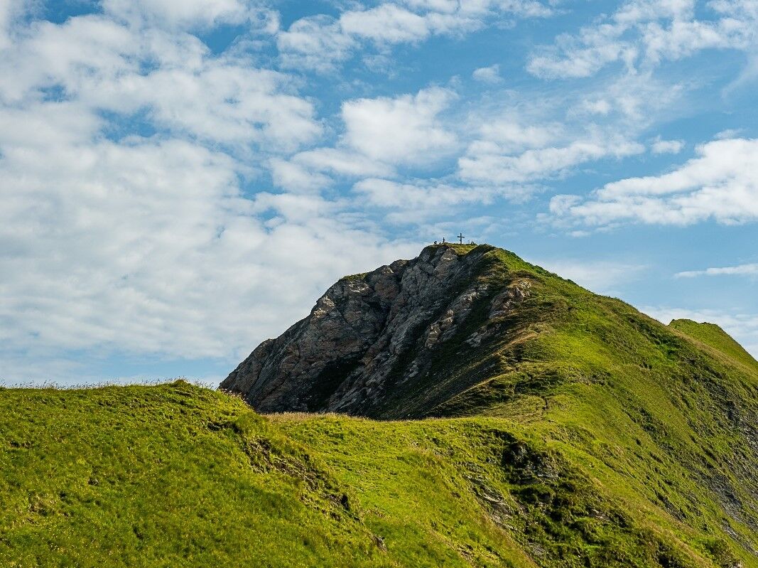
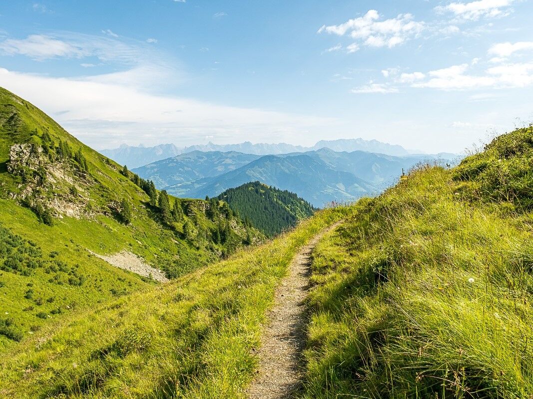
beautiful round trip to the Imbachhorn (summit: 2,470 m)
- Difficulty
-
medium
- Rating
-
- Starting point
-
Kitzsteinhorn car park Panoramabahn
- Route
-
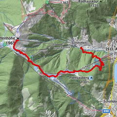
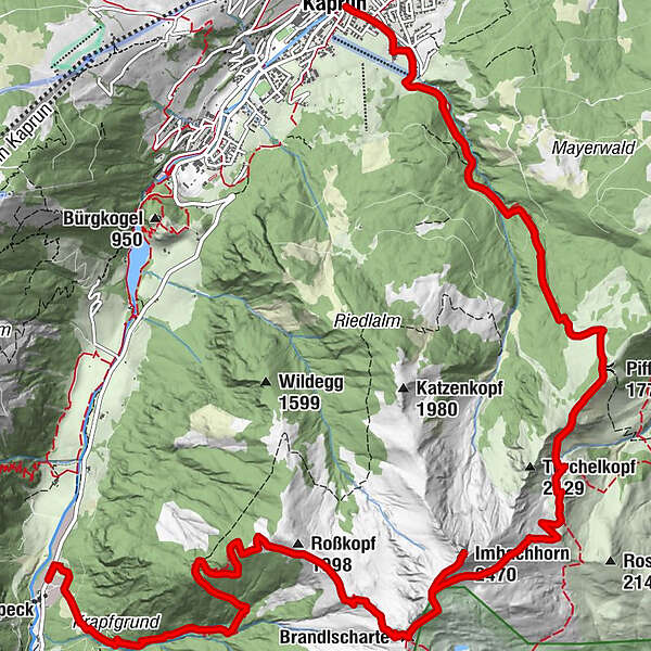
Brandlscharte (2,371 m)6.0 kmImbachhorn (2,470 m)6.9 kmPiffscharte (1,775 m)10.5 kmLechnerdörfl14.4 kmKaprun15.0 km
- Best season
-
JanFebMarAprMayJunJulAugSepOctNovDec
- Description
-
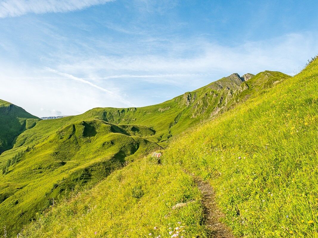
This path starts in the upper car park of the Gletscherbahn cable car (Kitzsteinhorn) . Follow route no. 724 ascending up through mixed forest
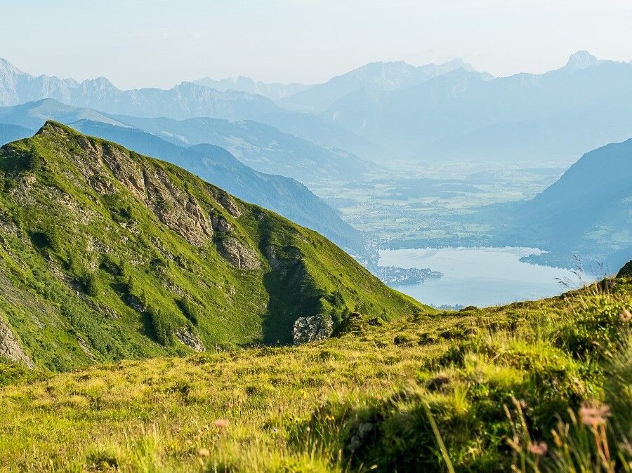
Continue on beautiful alpine meadows to the 2,470 m high Imbachhorn and back to Kaprun. Always with a view of Lake Zell. - Directions
-
This path starts in the upper car park of the Gletscherbahn cable car. Follow
route no. 724 ascending up through mixed forest to the Harleitenalm
(no longer in operation). From here, continue over the Harleiten up to the
Brandlscharte. Now you can decide whether to turn right up towards the
Rettenzink or left to the Imbachhorn.Back to Kaprun along Imbachsteig no 723.
At the Imbachhorn you can descend
again over the Brandlscharte to the Gleiwitzer Hütte. - Highest point
- 2,447 m
- Endpoint
-
center of Kaprun
- Height profile
-

- Safety instructions
-
allow enough time - as no up or down with mountain railway possible.
- Directions
- Public transportation
- Parking
-
Schaufelberg parking lot at the beginning of the village or Kitzsteinhorn car park.
-

-
AuthorThe tour Imbachhorn circular tour in Kaprun is used by outdooractive.com provided.
GPS Downloads


General info
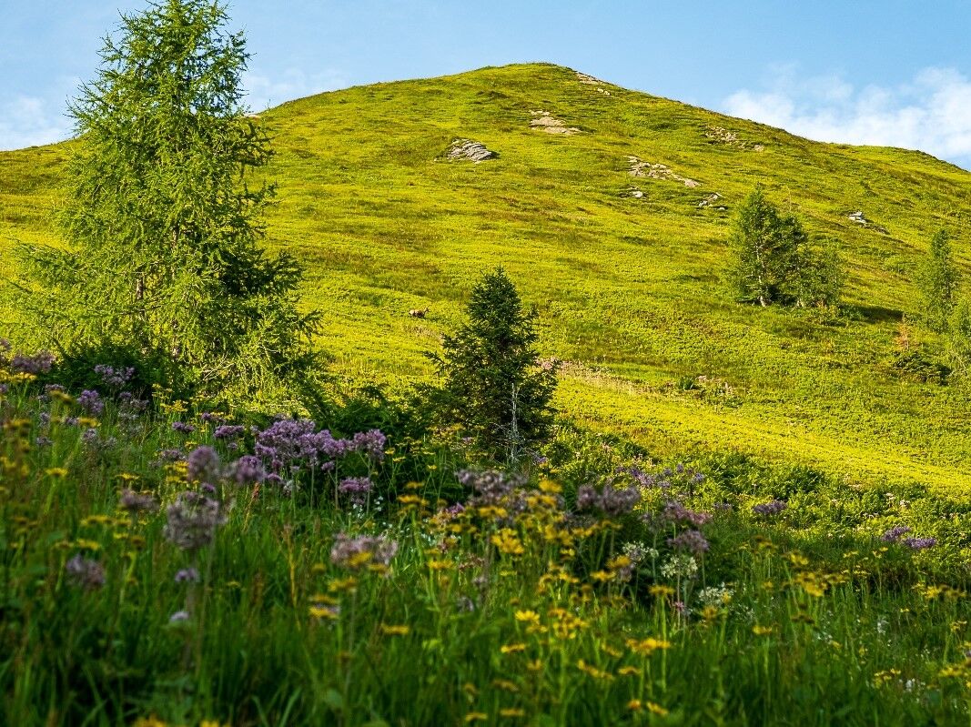
Flora
Fauna
A lot of view
Other tours in the regions