


- Brief description
-
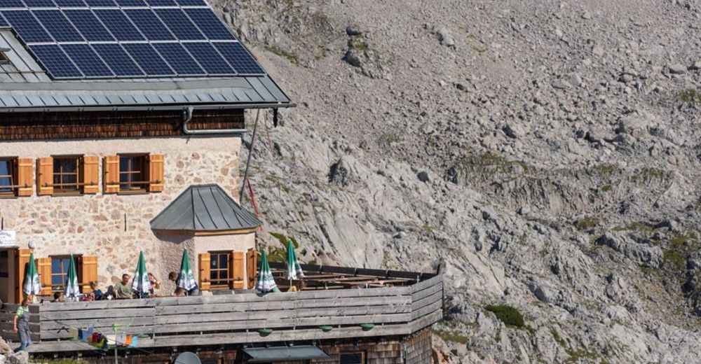
The Ingolstädter Haus 2,119 m is an Alpine Club hut of the Ingolstadt section of the German Alpine Club below the Großer Hundstod. It is one of the most important mountain huts in the Berchtesgaden Alps in the Steinernes Meer.
- Difficulty
-
difficult
- Rating
-
- Starting point
-
Pürzlbach
- Route
-
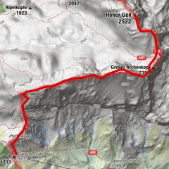
Kallbrunnalm3.6 kmNo10.0 kmDießbachscharte11.1 kmIngolstädter Haus11.2 km
- Best season
-
JanFebMarAprMayJunJulAugSepOctNovDec
- Directions
-
You walk along the alpine and forest road for about 1.5 hours to the Kallbrunnalm. From here you continue over the dam wall of the Diessbach reservoir. After an ascent and descent, you reach the end of the lake. This is where the Mitterkaser Nature Park begins, with its magnificent stone pine trees and beautiful flora. Along the Diesbach stream, you hike slightly uphill to the valley station of the material cable car. Now the trail begins, which leads you steeply uphill in serpentines to the Steinerne Meer. Along the south faces of the Dießbacheck and the Kleiner Hundstod you reach the Ingolstädter Haus at 2,119 metres.
- Highest point
- 2,113 m
- Endpoint
-
Ingolstädter Haus
- Height profile
-

- Equipment
-
Hiking equipment
- Safety instructions
-
There is a charge for parking in Pürzlbach!
- Tips
-
Take the Almwandertaxi to the Kallbrunnalm and shorten the route considerably.
- Directions
-
Take the 311 to Weißbach bei Lofer and turn left in the centre of the village and follow the signs to the district of Pürzlbach.
- Parking
-
Hikers' car park in Pürzlbach (subject to charge)


-

-
AuthorThe tour Hike to the Ingolstädter Haus 2,119 m is used by outdooractive.com provided.


General info
-
Saalfelden - Leogang
1814
-
Weißbach bei Lofer
356