

© Saalfelden Leogang Touristik GmbH - Saalfelden Leogang


- Brief description
-
5th Hiking Day
- Difficulty
-
difficult
- Rating
-
- Starting point
-
Gasthof Stiegernigg
- Route
-
Gorialm3.0 kmBerggasthof Biberg11.1 kmHuggenberg Alm13.3 kmHinterburg Stub'n14.3 kmBiberg15.0 kmTürkisch Islamische Union15.4 kmSaalfelden am Steinernen Meer (748 m)17.3 km
- Best season
-
JanFebMarAprMayJunJulAugSepOctNovDec
- Description
-
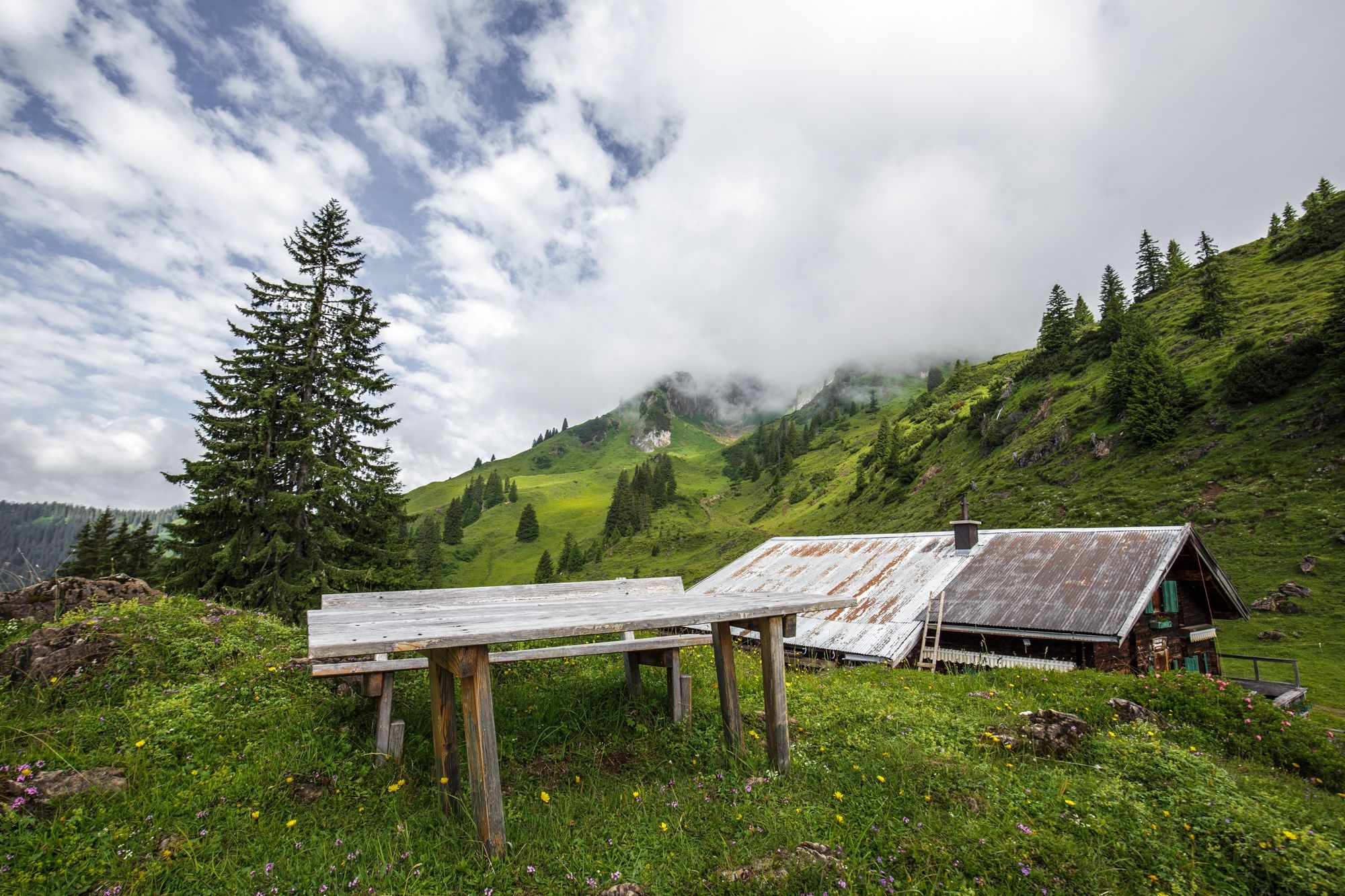
Gasthof Stiegernigg
Jahnhütte (1592 m)
Alpenrosenweg
Berggasthof Biberg
Bergstation Huggenberglift
Huggenberg-lift's Top Station
Summer Tobogganing Run
- Directions
-
From Gasthof Stiegernigg, take the same path back to the Jahnhütte and from there to the Saalachtaler Höhen-weg in the direction of Berggasthof Biberg. Then head to the mountain station of the Huggenberg lift. Here it is possible to descend on the summer toboggan run or walk. From the bottom station of the lift you can reach the tourist office in approx. 45 min.
- Highest point
- 1,698 m
- Endpoint
-
Saalfelden
- Height profile
-

- Equipment
-
climbing boots, map of trails, first-aid equipment, cagoule, sun cream, beverage / food, binoculars
- Safety instructions
-

-
AuthorThe tour Saalachtal High Trail - 5th Hiking Day is used by outdooractive.com provided.
GPS Downloads


Other tours in the regions
-
Saalfelden - Leogang
1787
-
Leogang
433


