- Brief description
-
3rd Day - Variation B
- Difficulty
-
medium
- Rating
-
- Starting point
-
Maria Alm
- Route
-
Wallfahrtskirche Maria Alm0.1 kmRaum der Stille0.2 kmMaria Alm am Steinernen Meer0.3 kmSchönanger3.1 kmChristernreith4.1 kmTischlerhütte4.9 kmSchönanger5.2 kmAbergalm6.3 kmSchwarzeckalm7.6 kmBachwinkl10.7 kmHandlerkapelle10.9 kmHintermoos11.8 km
- Best season
-
JanFebMarAprMayJunJulAugSepOctNovDec
- Description
-
Maria Alm
Gasthaus Christernreit (rest point)
Tischleralm (rest point)
Abergalmen
Thoraualm (rest point)
Hintermoos
- Directions
-
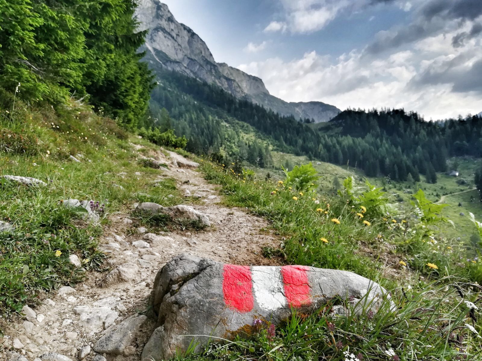
From the town of Maria Alm, you'll walk through the valley toward Hinterthal for a few minutes, then turn right, over the bridge over the small Urslau River. Then along the side road on the right bank to Unterberg. Take a right here, first going uphill along the Aberg supply road ("Güterweg", via Eberlalm and the Gasthaus Christernreit). Then after a number of hairpin turns, a narrow hiking trail forks right at the sign "zum Hundstein", which also leads to the Gasthaus Christernreit ( where you'll arrive after approx. 30 minutes' walk) and Schranbachalm turnoff.
Here, however, do not turn right - hike straight ahead along the trail to the Tischleralm (with service) and further on up to the Berggasthof Abergalm (no service offered).
Here you connect with the supply road, which leads to the right to the Hundstein. You, however, will follow it to the left along level ground to the Schwarzeckalmbahn lift and on the Thoraualm.
From there the descent into the valley is the same as the normal (A) route.
Just above the Thoraualm is the station for the Schwarzeckalmbahn, which runs not everyday, thereby offering you a ride down into the valley if you like. If you'd rather go on foot (approx. another 45 min.), take the supply road downhill and into the valley near Hintermoos where you'll be staying the night - a total descent time of about 3 hours.
- Highest point
- 1,458 m
- Endpoint
-
Hintermoos
- Height profile
-

- Equipment
-
climbing boots, map of trails, first-aid equipment,
cagoule, sun cream, beverage / food, binoculars
- Safety instructions
-
European Emergency Number: 112
Austrian Mountain Rescue Service: 140
Please note the opening hours of the alpine huts!
- Additional information
-

-
AuthorThe tour Saalachtal Tour - 3rd Day - Variation B is used by outdooractive.com provided.