The Königsweg stage 1 (Maria Alm - Dienten)


- Brief description
- Difficulty
-
medium
- Rating
-
- Starting point
-
Maria Alm
- Route
-
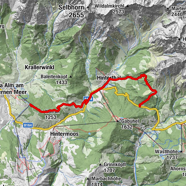
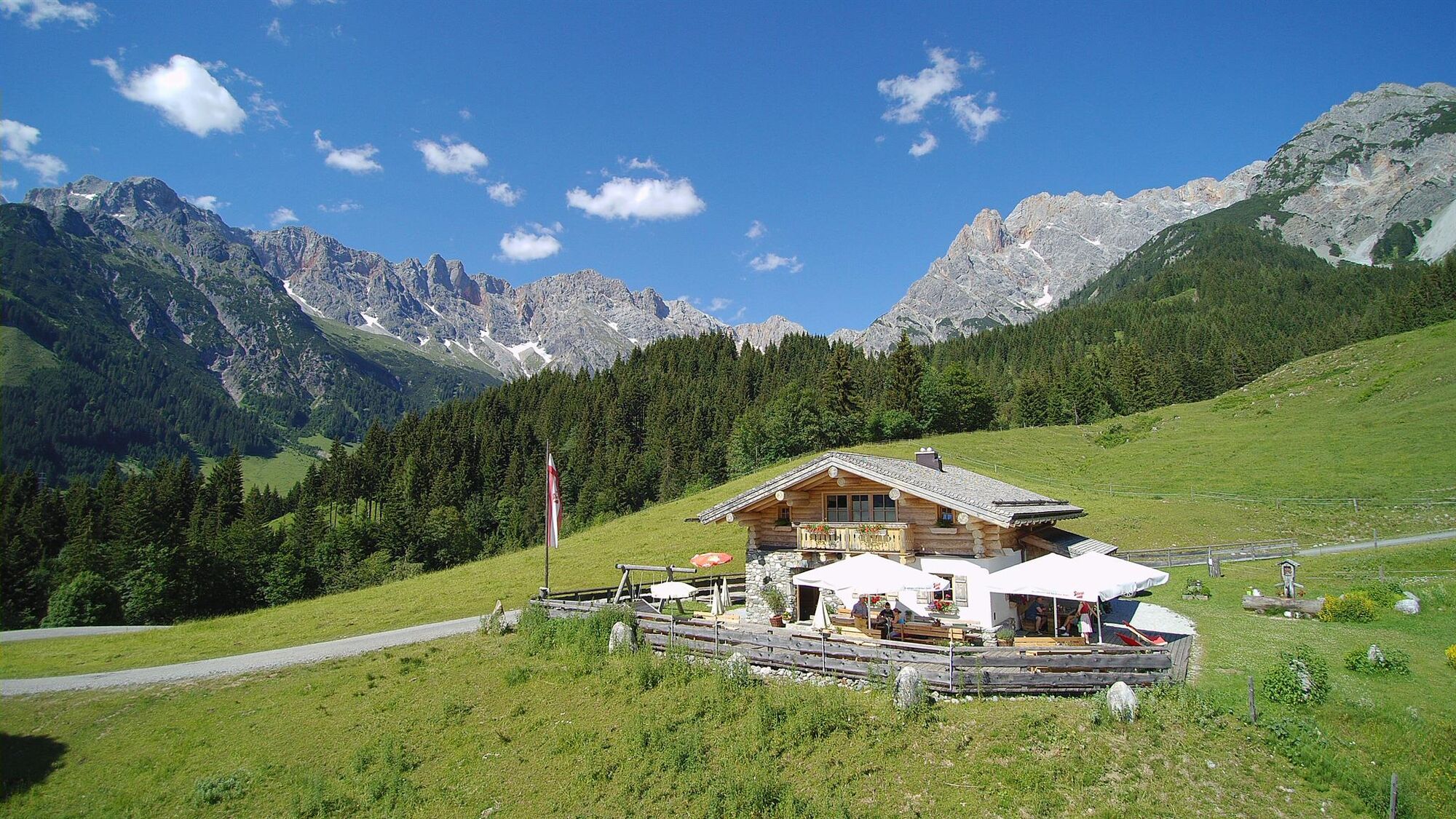
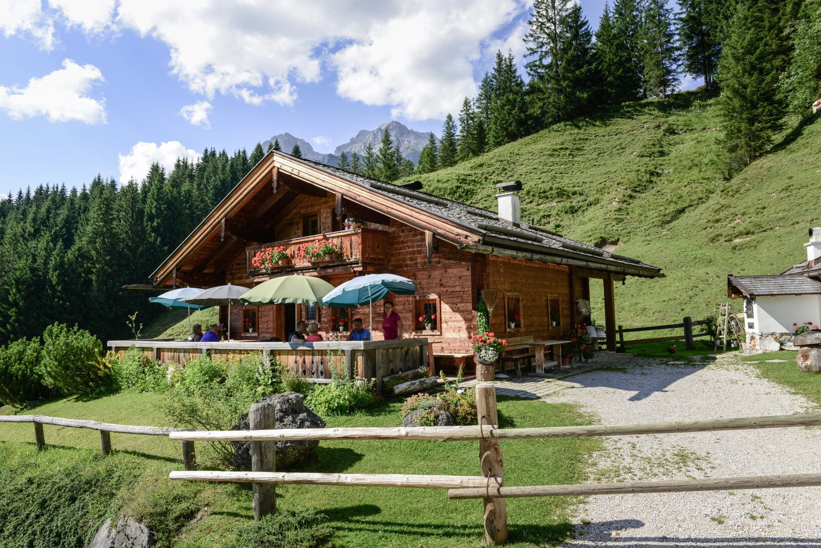
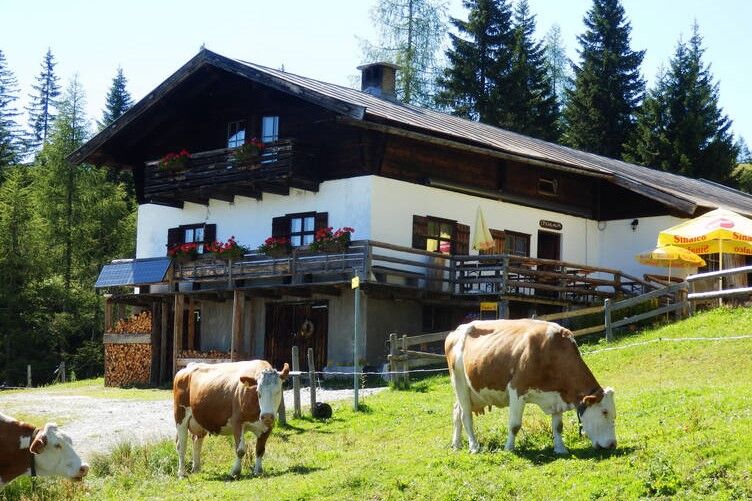
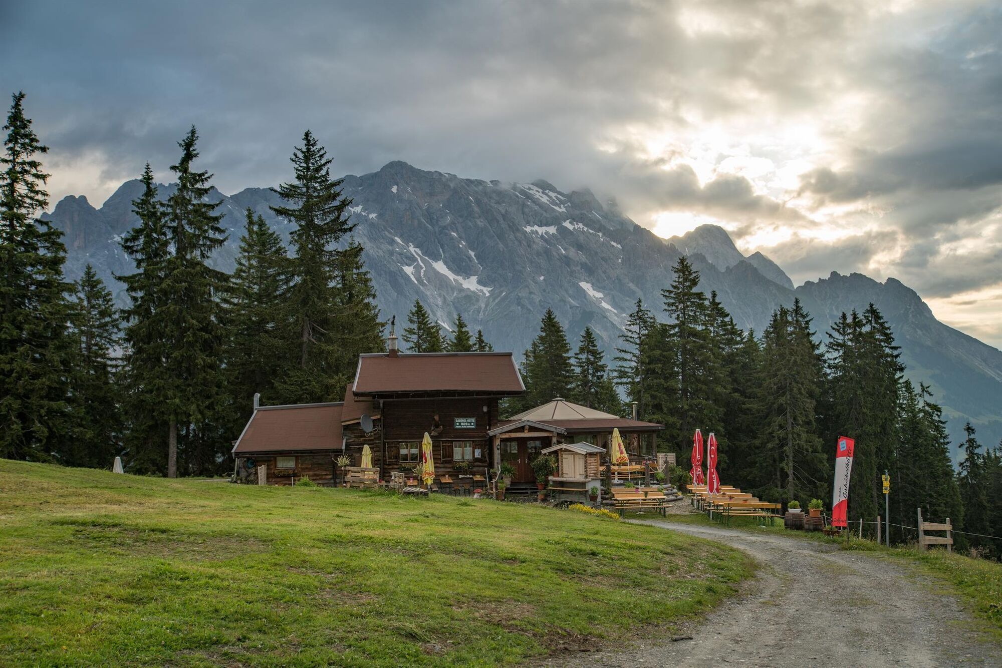
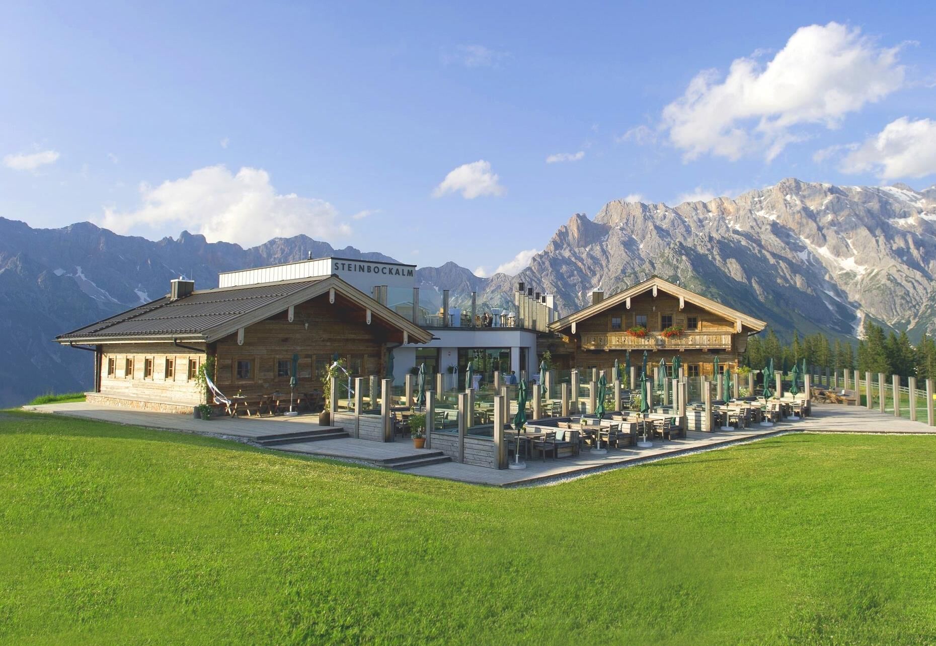
Tom Almhütte0.1 kmNatrun (1,253 m)0.8 kmJufenalm2.2 kmWetterherrenkapelle2.4 kmBirnbach5.1 kmHinterthal6.4 kmKath. Pfarrkirche hl. Dreifaltigkeit6.6 kmPichl Alm10.4 km
- Best season
-
JanFebMarAprMayJunJulAugSepOctNovDec
- Description
-
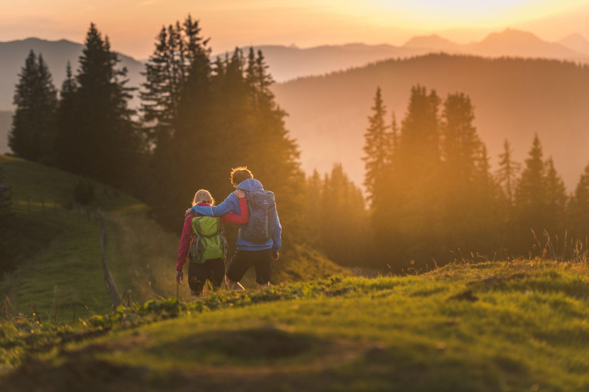
Start the first stage at the Maria Alm tourist office right next to the Maria Alm parish church, which has a long tradition as a pilgrimage church. A wonderful and, above all, varied day of hiking awaits you on the trail via Natrun and Jufen to Hinterthal and on towards Filzensattel and Dienten. Enjoy a carefree time in the midst of an unspoilt natural landscape.
- Directions
-
STAGE 1 FROM MARIA ALM TO DIENTEN
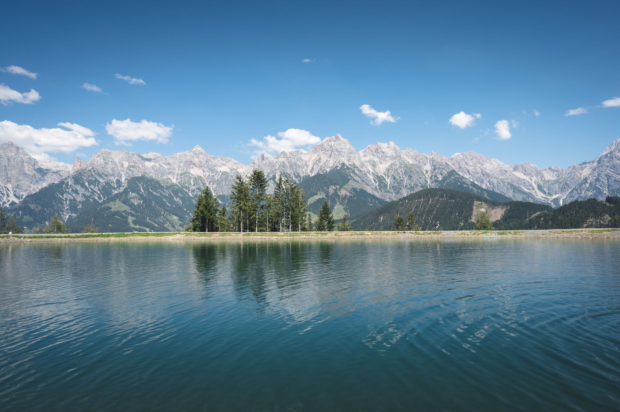
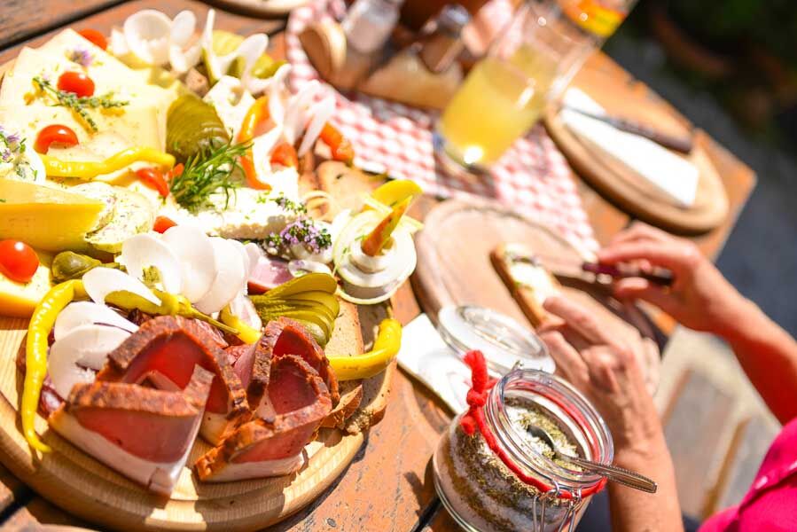
From the valley station of the Natrunbahn cable car in Maria Alm, you start your hike on the long-distance hiking trail 401A - the Natrunbahn cable car takes you comfortably to the summit of Maria Alm's local mountain. From the summit of the Natrun, trail no. 26a leads past interactive stations to Gasthof Jufen with its adjoining game reserve. The path continues over alpine pastures and through a short section of forest and leads gently downhill to the Pichlhof farm. Follow the farm access road downhill to the main road and cross it. Walk about 100 metres downhill along the Urslau and cross the small bridge, which leads you onto the idyllic meadow path along the Urslau to Hinterthal. Shortly before the church in the village centre, turn right onto trail 401A to the Aueralm and Mußbachalm. After a relaxing rest and refreshment with the delicacies of the alpine pastures, follow the old, almost forest-free alpine path uphill to the junction with ÖAV trail 436, where you can once again enjoy the magnificent view of the eastern Steinerne Meer. On trail no. 401A/436, you hike along alpine paths, trails and a high moor to the Pichlalm. After a short rest, take trail no. 68 in the direction of Filzensattel. From here, the hiking bus will take you to Dienten.
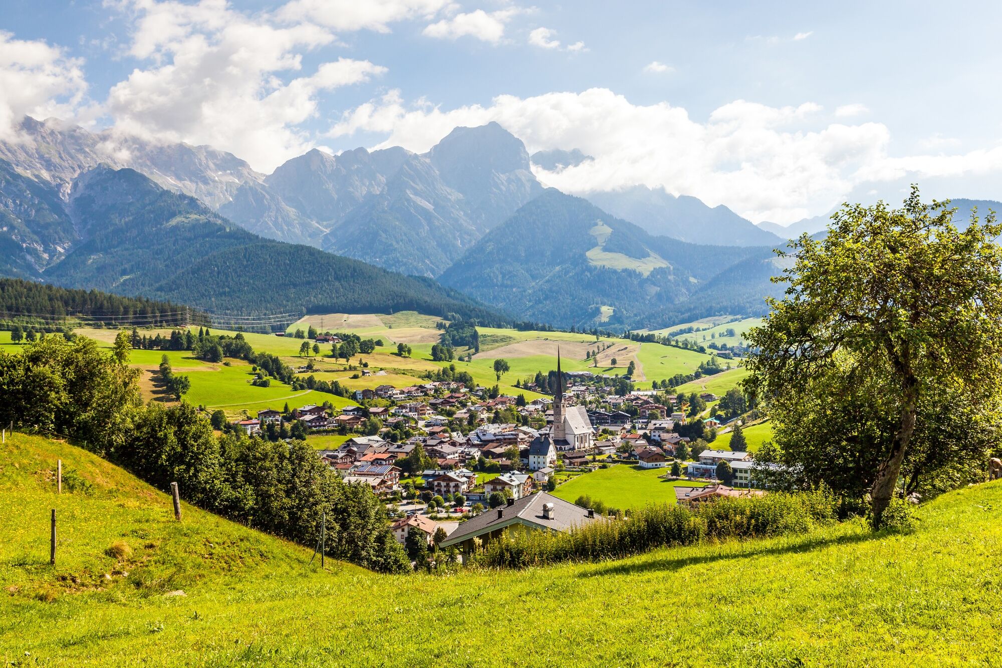
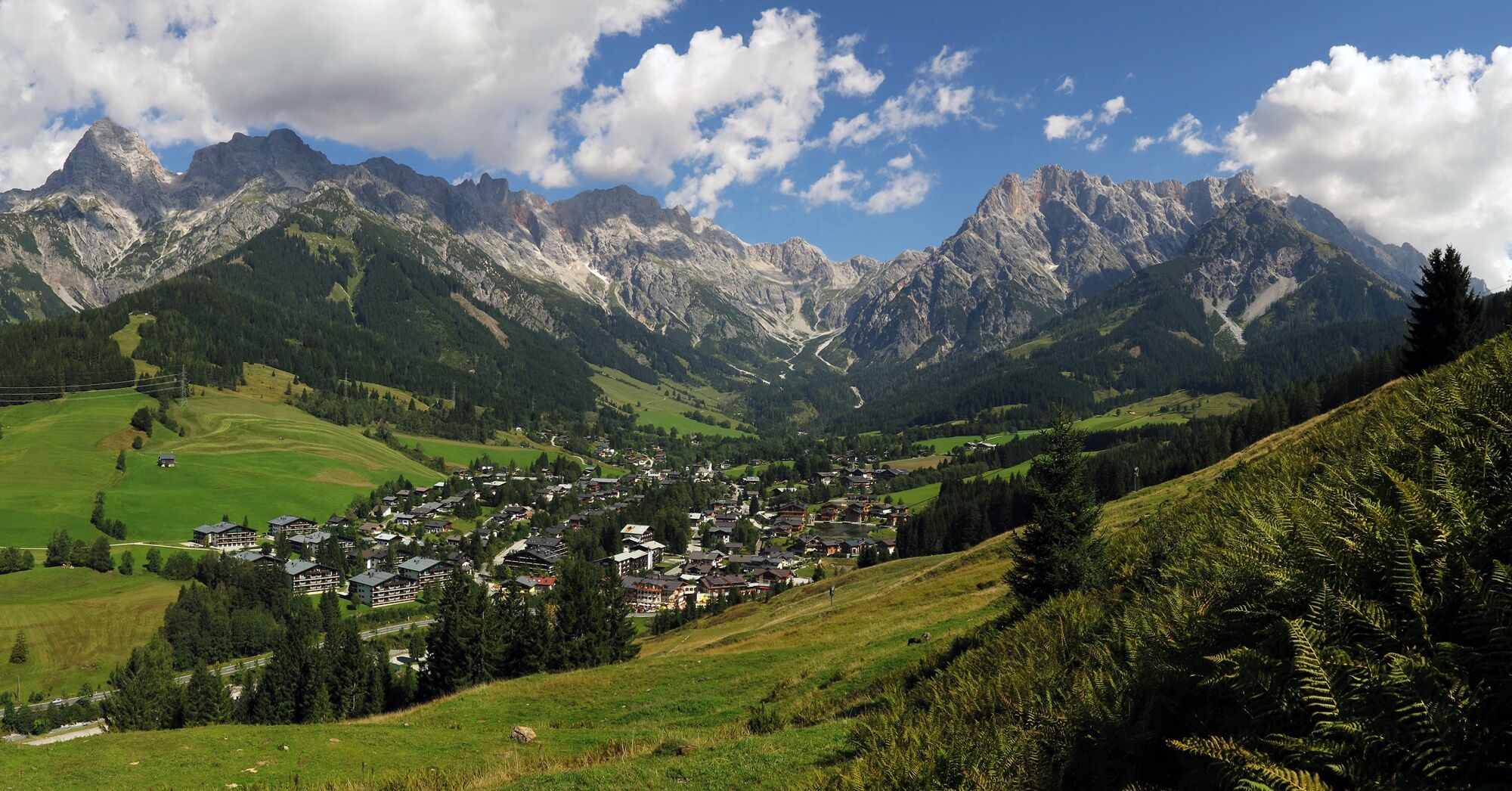
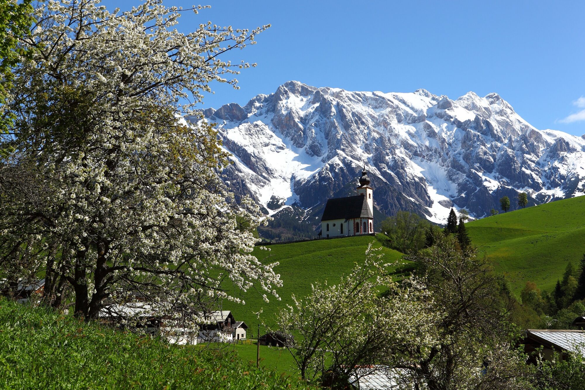
If you want to hike to Dienten, cross the Hochkönig main road and follow the small path up to the forest road (path no. 50) in the direction of Grünegg - Gabühel. After about 2 km you reach the junction no. 52 to Dienten, from where the path leads downhill across the terrain. The first houses become visible in the valley before the path leads back into the forest and finally onto a tarmac road, which you follow to the Almhäusl snack station, where the path branches off in the direction of Dienten. After a few metres, you will see the sign for the entrance to Dienten. Pass the ski centre, where the tourist office is located, as well as the characteristic flower houses. From here you have an impressive view of the village church on a hill.
- Highest point
- 1,474 m
- Endpoint
-
Dienten
- Height profile
-

- Equipment
-
Sturdy, ankle-high footwear
Walking sticks
Headgear
Sun protection
Sunglasses
Rain protectin
Drinks and a snack
Necessary medication
First aid kit
Hiking map - Safety instructions
-
Self-assessment Check your physical fitness before every mountain tour and correctly assess your strength as well as that of your companions - especially those of your children! Surefootedness and a head for heights are often very important!
Planning and preparation Plan each intended mountain tour in detail beforehand. Hiking maps and guides as well as information from alpine associations and local experts such as mountain guides and mountain hut keepers can be helpful.
Equipment On the mountain, you will need appropriate equipment and clothing, especially sturdy, high shoes with good grip soles. Weather and cold protection are essential, as the weather can often change unexpectedly.
Weather forecasts Take note of the current weather conditions at: www.zamg.at
Together Follow the 10 rules for the correct handling of grazing animals and do not leave any waste in nature!
Do not kick stones Do not kick stones as this can seriously endanger other hikers. Marked places with a danger of falling rocks should be crossed as quickly as possible and with attention and caution.
Turn back in good time This is not a disgrace, but a sign of common sense. It becomes necessary when the weather changes, fog rolls in, and also when the path is too difficult or not in good condition.Emergency numbers: Alpine emergency call: 140
International emergency call: 122 - Tips
-
Blueberry-rosemary sheep's milk ice cream at Tom Almhütte
wonderful distant view of the surrounding mountains at the Jufenalm
Kneipp pool in Hinterthal - Additional information
- Directions
-
Coming from Salzburg: Take the A10 motorway to the Bischofshofen exit, then take the B311 towards Bischofshofen. Follow the Hochkönig Bundesstraße/B164 to Maria Alm.
Coming from Innsbruck/ Kufstein: Take the Loferer Straße/B178 in the direction of St. Johann i.T., then follow the Hochkönig Bundesstraße/B164 via Saalfelden to Maria Alm.
A valid vignette is required to use the Austrian motorway and motorway network. It is also compulsory to carry a first-aid kit, warning triangle and high-visibility waistcoat. Further information can be found under Asfinag.
- Public transportation
- Parking
-
Free parking at the entrance to the village of Maria Alm
- Author
-
The tour The Königsweg stage 1 (Maria Alm - Dienten) is used by outdooractive.com provided.


General info
-
Hochkönig
2016
-
Dienten am Hochkönig
536