
- Brief description
-
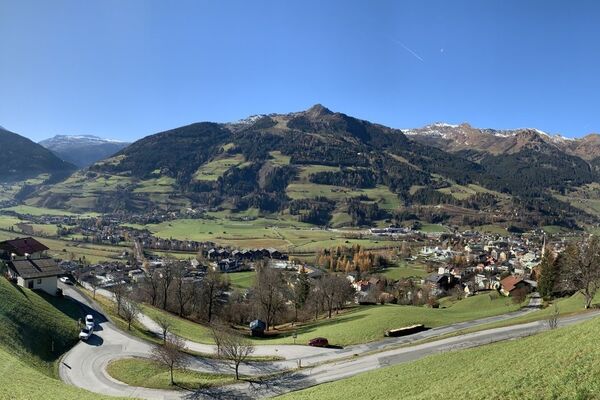
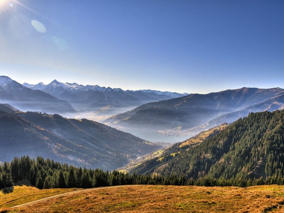
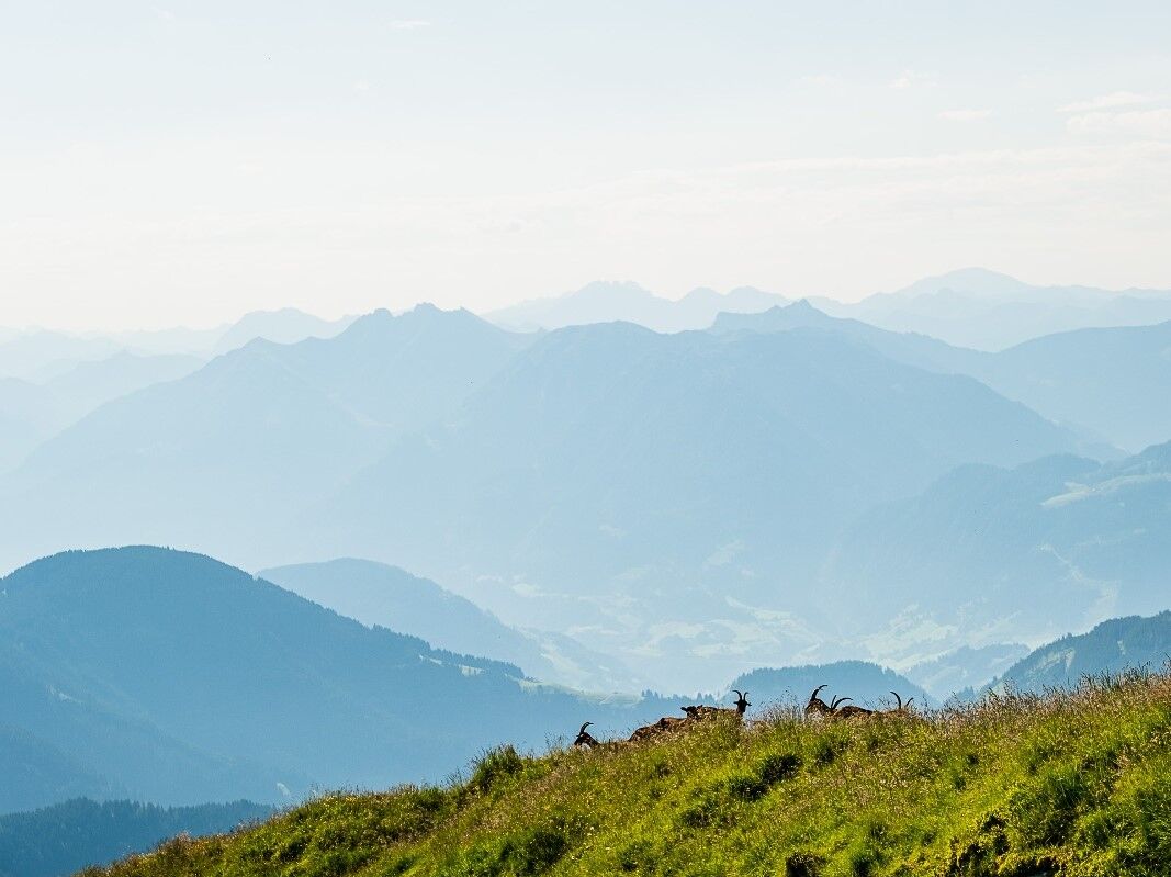
peak experience with fantastic views. The mountain restaurant and huts offer regional specialities.
- Difficulty
-
medium
- Rating
-
- Starting point
-
Restaurant Mitterberghof
- Route
-
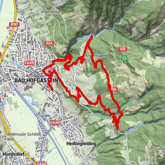
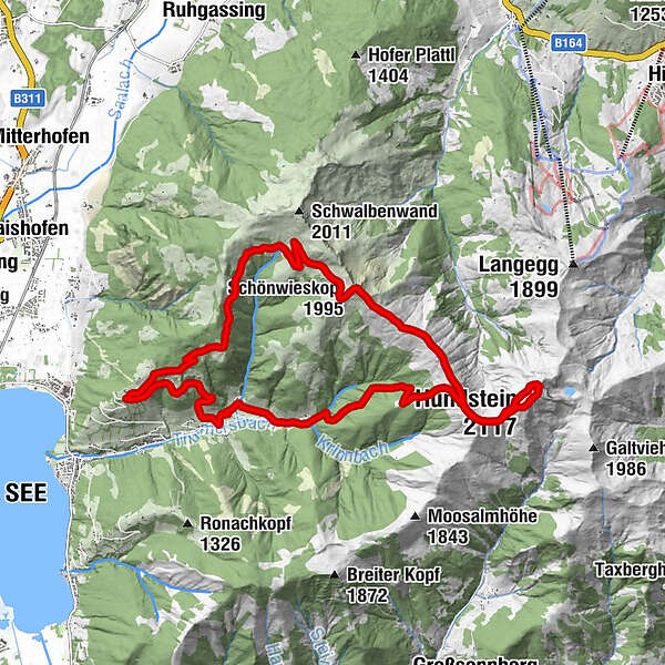
MitterberghofHerz-Jesu-Kapelle0.0 kmSchützingalm4.1 kmSchönwieskopf (1,995 m)6.9 kmOchsenkopf (1,995 m)9.9 kmQuelle10.0 kmHundstein (2,117 m)11.5 kmStatzerhaus11.6 kmQuelle12.6 kmOchsenkopf (1,995 m)12.6 kmGasthof Waldheim16.8 kmPichl17.8 kmZorn18.0 kmHerz-Jesu-Kapelle21.3 kmMitterberghof21.4 km
- Best season
-
JanFebMarAprMayJunJulAugSepOctNovDec
- Description
-
Beautiful circular tour with summit experience for advanced hikers.
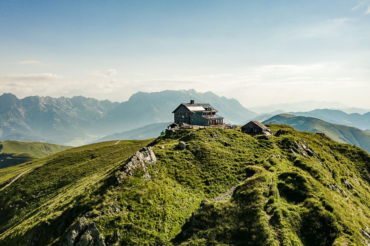
Mountain restaurants and huts: at the start- and end point: mountain restaurant Mittereberg, the Statzerhaus at the highest point at 2.117 m height and the traditional hut: Schützingalm.
- Directions
-
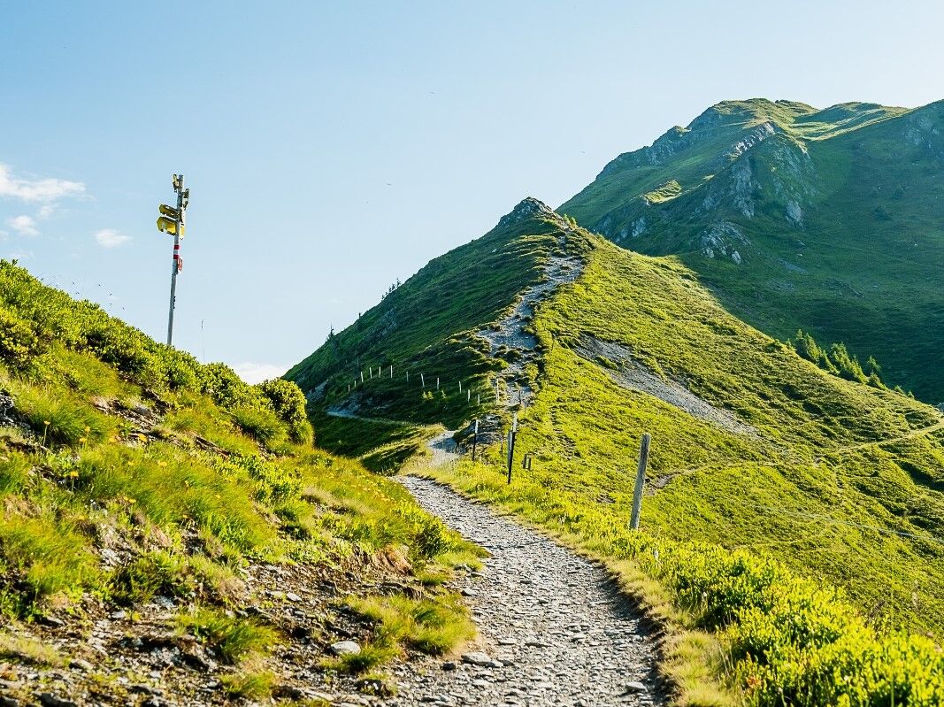
This path starts at restaurant Mitterberg, where you walk along a forest road to Schützingalm and continue from there to Schönwieskopf. After a short snack at the Schönwieskopf you are hiking along a ridge to the Hundstein (Statzerhaus). From there you cross will cross Rupertihaus and return from the Hochhschleipfgut to your starting point.
- Highest point
- 2,097 m
- Endpoint
-
Berggasthof Mitteberg
- Height profile
-

- Equipment
-
Sturdy walking shoes, protection agains rain and sun! The weather can change quickly in the mountains!
- Tips
-
The Schützingalm in Thumersbach near Zell am See is a popular excursion destination for hikers. Situated on the east side of Lake Zell at 1,655 meters above sea level, the beautiful mountain hut, managed by the Bichler family in the summer months, is also an insider tip for tasty classic huts such as Almbrot, Stanitzel or Kaiserschmarren
- Additional information
- Directions
-
Taxi or car (10 min approx. from Zell am See)
- Public transportation
- Parking
-
mountain restaurant Mitterberghof

-

-
AuthorThe tour Schönwieskopf / Hundstein - via Schützingalm is used by outdooractive.com provided.


General info
-
Zell am See - Kaprun
1504
-
Maishofen
517