


- Brief description
-
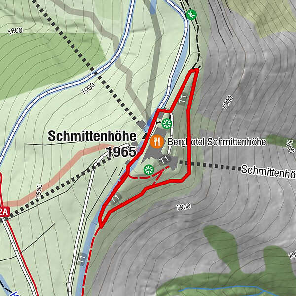
Easy circular path on the top of the Schmitten.
Hiking in the footsteps of an empress.
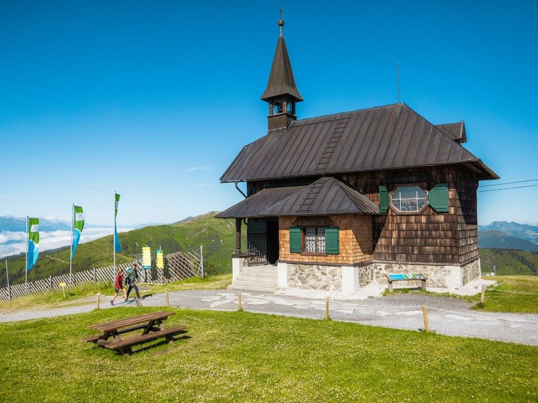
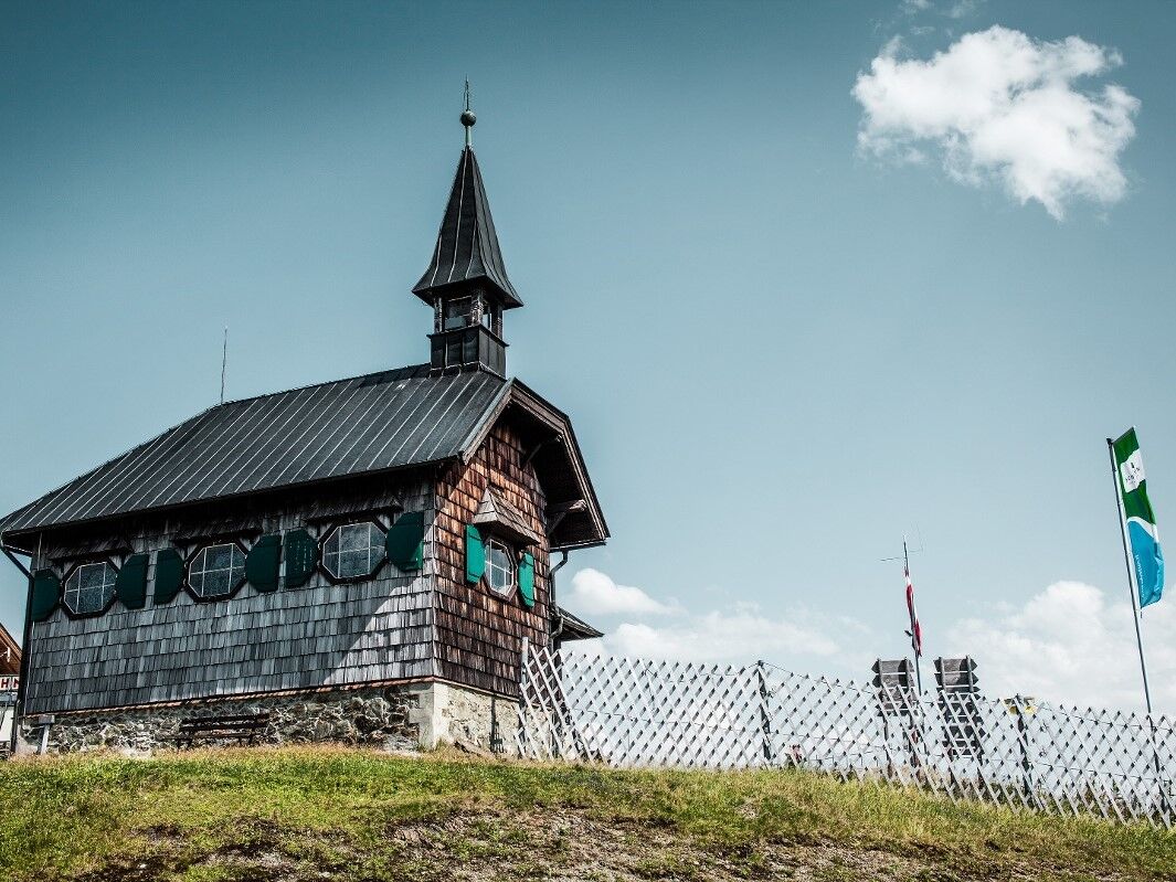
Start and end is the Elisabeth chapel, which was built in memory of Empress Elisabeth.
In just 30 minutes, the Schmitten summit is surrounded.
- Difficulty
-
easy
- Rating
-
- Starting point
-
Elisabeth Chapel
- Route
-
Elisabeth-Kapelle0.0 kmSchmittenhöhe (1,965 m)0.9 kmBerghotel Schmittenhöhe0.9 km
- Best season
-
JanFebMarAprMayJunJulAugSepOctNovDec
- Description
-
More than 120 years ago Empress Sissi walked up the Schmittenhöhe to enjoy the sunrise. On this special place you can visit the Elisabeth Chapel where you will see a photo as well as a signed picture of her. Wonderful view on the surrounding mountainlandscape on a 30min round walk.
- Directions
-
The path takes you around the Schmitten summit, starts and finishes at the Elisabeth Chapel. You complete it in just half-an-hour
- Highest point
- 1,952 m
- Endpoint
-
Elisabeth Chapel
- Height profile
-

- Equipment
-
wind- or rain jacket is recommende
- Additional information
- Directions
-
Car or bus, ascent with the Schmittenhöhenbahn
- Public transportation
-
Buses do run frequently between Zell am See and Kaprun, change at Postplatz for bus 71 to the valley station.
- Parking
-
Schmittenhöhe Valley Station
Schmittenstraße 119
5700 Zell am See


-

-
AuthorThe tour Sisi Circular Trail is used by outdooractive.com provided.


General info
-
Zell am See - Kaprun
1504
-
Schmittenhöhe
522


