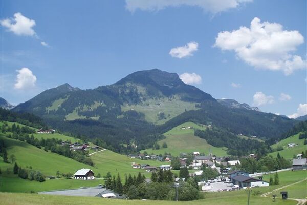
© Tourismusverband St. Martin am Tennengebirge - Max Ampferer

- Difficulty
-
easy
- Rating
-
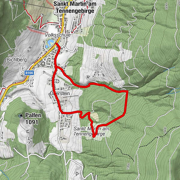
- Route
-
Oberstein0.8 kmHöllalm2.0 km
- Best season
-
JanFebMarAprMayJunJulAugSepOctNovDec
- Description
-
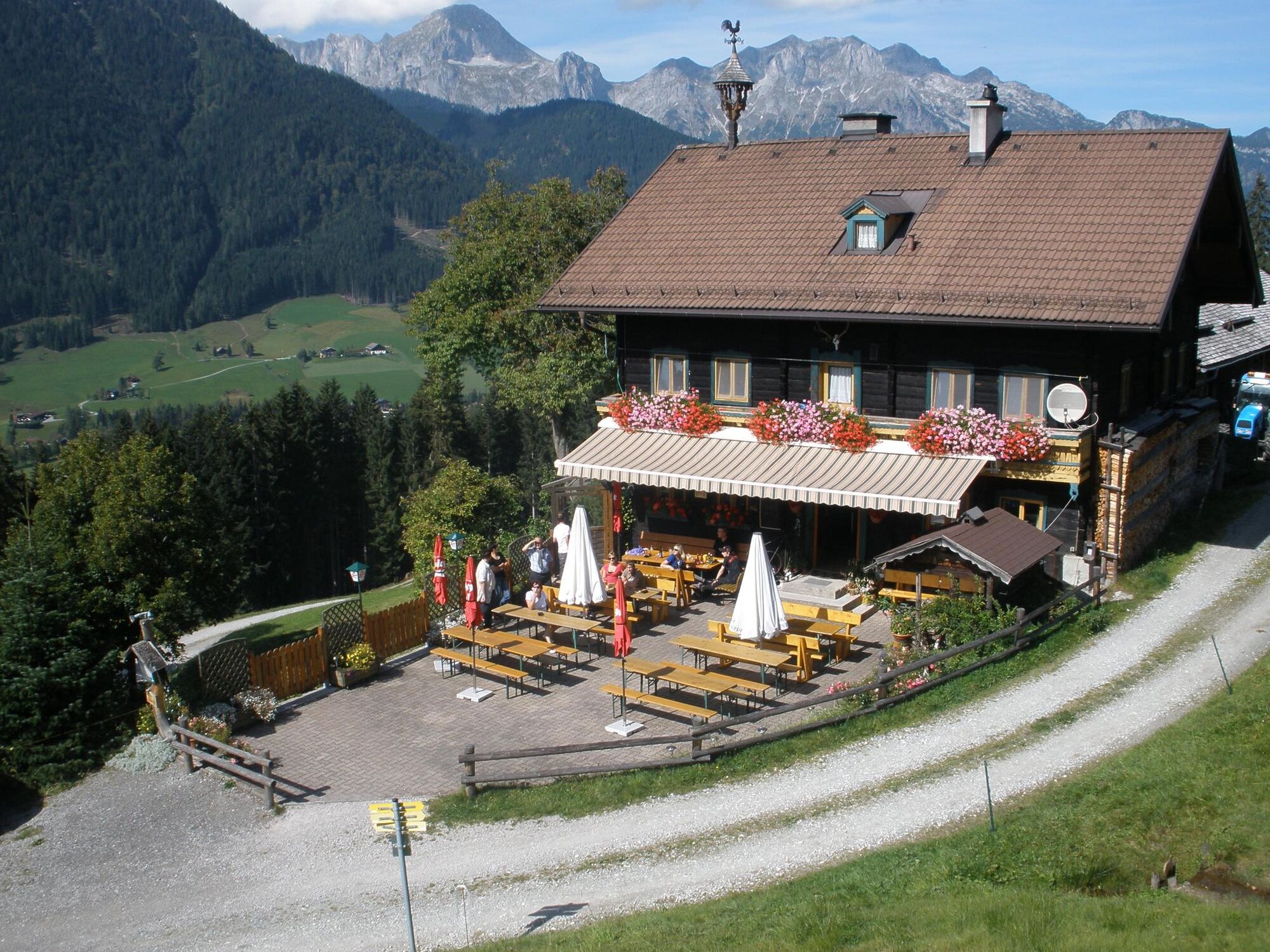
From the Seepark in St. Martin head south along the main road (B166) to Obersteinstraße. Along this until you reach the Höllalm turn-off. Make a left here and continue east, along a forestry road, uphill to the Höllalm (Stamp, 8 Points). Past the Höllalm and then, after ca. 0,2 km, turn left (to the north) through a forest, along a gully, to Nockstraße. Turn right here, making your way downhill zu the Zacherleitgraben. Here, either through this gully to the west, downhill to Obersteinstraße and back to the start, or north from here, pass Jugengästehaus Sonnrain, downhill to Obersteinstraße and back to the start.
- Highest point
- 1,180 m
- Height profile
-

- Author
-
The tour St. Martin/Tgb. - Lammertal/Höllalm-Rundweg (8 Punkte) is used by outdooractive.com provided.
GPS Downloads


General info
Refreshment stop
Other tours in the regions