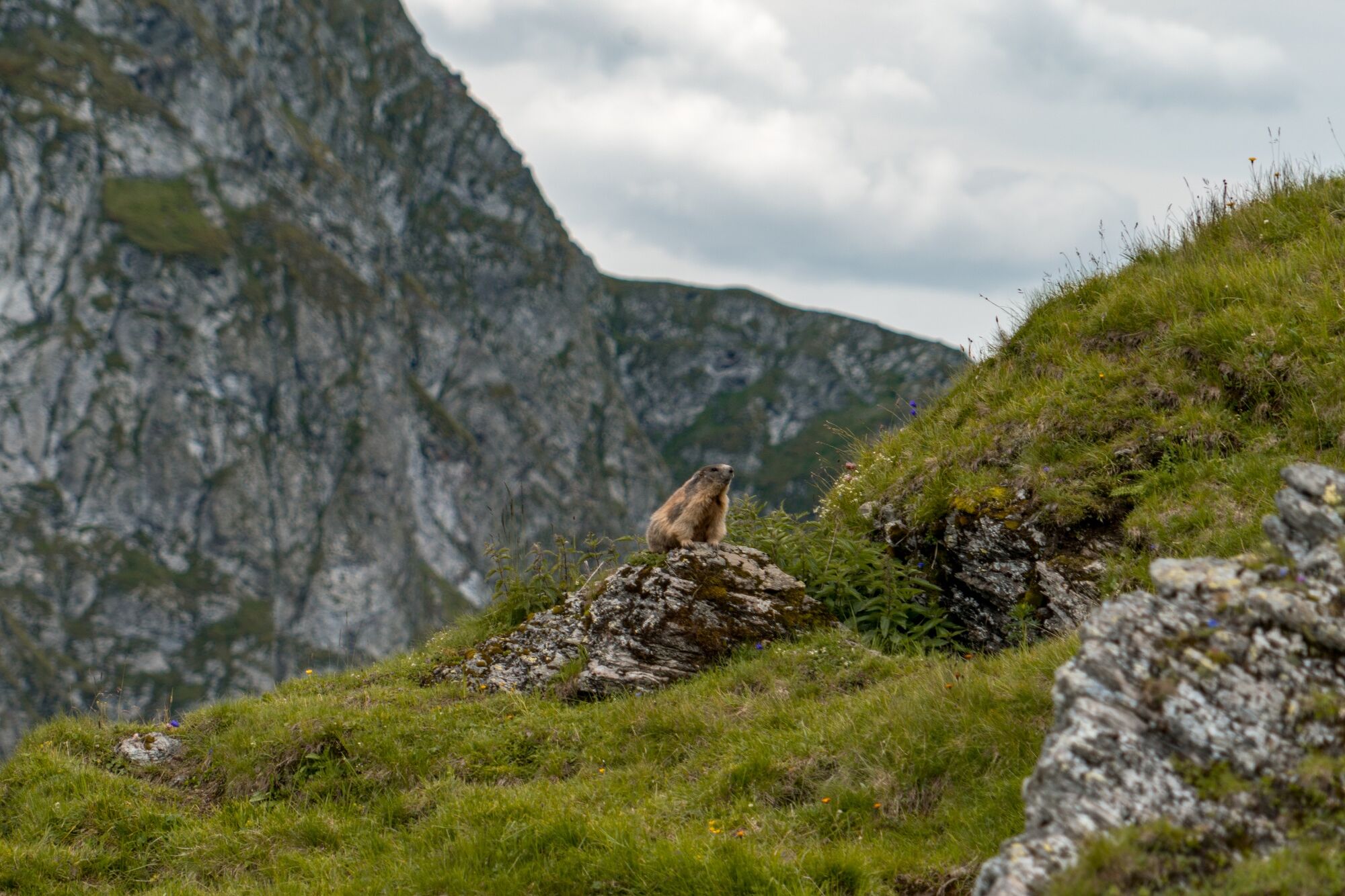
© Saalbach Hinterglemm - Best Mountain Artists

© Saalbach Hinterglemm - Best Mountain Artists

© Saalbach Hinterglemm - Best Mountain Artists
- Difficulty
-
difficult
- Rating
-
- Starting point
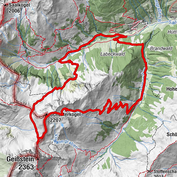
-
Lindlingalm - end of valley Hinterglemm
- Route
-
Steffelalm0.2 kmSchusterkogel (2,207 m)8.3 kmSchlaberstatt (2,048 m)9.3 kmSchusterscharte (1,985 m)10.3 kmJägerkapelle13.7 kmLindlingalm (1,370 m)14.0 km
- Best season
-
JanFebMarAprMayJunJulAugSepOctNovDec
- Description
-
Past the Teufelswasser turn left and onto a challenging climb to the Schusterscharte. Continue via gentle alpine pastures to the summit.
The descent is via the Oberzehentner Hochalm to Lengau
- Highest point
- 2,174 m
- Endpoint
-
Lengau
- Height profile
-

- Parking
-
Free parking at the end of the valley

-

-
AuthorThe tour Schusterkogel is used by outdooractive.com provided.
GPS Downloads


General info
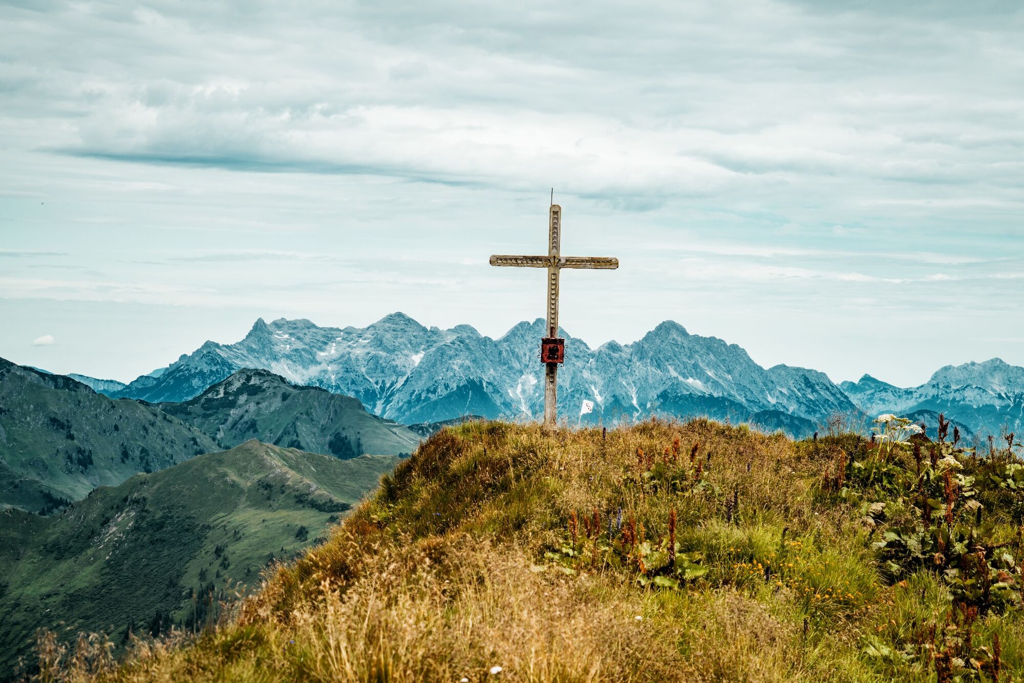
Refreshment stop
A lot of view
Other tours in the regions