

© Zell am See-Kaprun Tourismus GmbH - Dominik Wartbichler

© Zell am See-Kaprun Tourismus GmbH - Dominik Wartbichler

© Zell am See-Kaprun Tourismus GmbH - Dominik Wartbichler

- Brief description
-
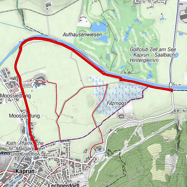
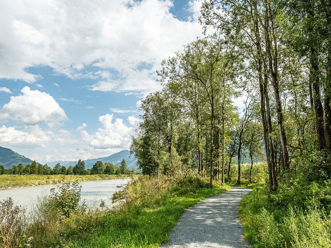
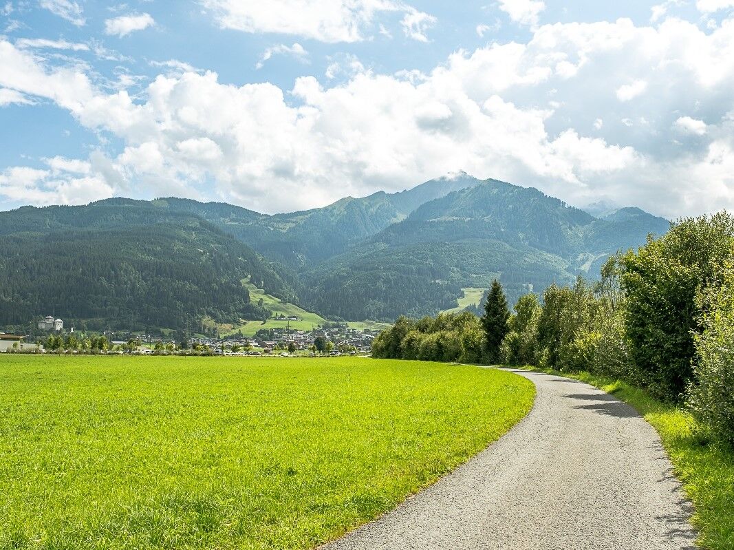
Along the rivers: Kapruner Ache and Salzach
- Difficulty
-
easy
- Rating
-
- Starting point
-
entrance to the village of Kaprun, Vereinehaus, Augasse 6
- Route
-
Kaprun0.0 kmMoossiedlung0.4 kmMoossiedlung0.7 km
- Best season
-
JanFebMarAprMayJunJulAugSepOctNovDec
- Description
-
In direction of flow to the right of the Kapruner Ache to the Salzach. Return the same way or via the Tauern Cycle Route.
- Highest point
- 766 m
- Endpoint
-
entrance to the village of Kaprun, Vereinehaus, Augasse 6
- Height profile
-

- Additional information
-
sign no 14
- Directions
-
By car or bus to Kaprun
- Public transportation
-
Buses do run frequently between Zell am See and Kaprun
- Parking
-
Baumbar car park

-

-
AuthorThe tour Salzachpath is used by outdooractive.com provided.
GPS Downloads


Other tours in the regions


