


- Brief description
-
A refreshing hiking tour close to the water.
- Difficulty
-
easy
- Rating
-
- Starting point
-
Sigmund Thun gorge
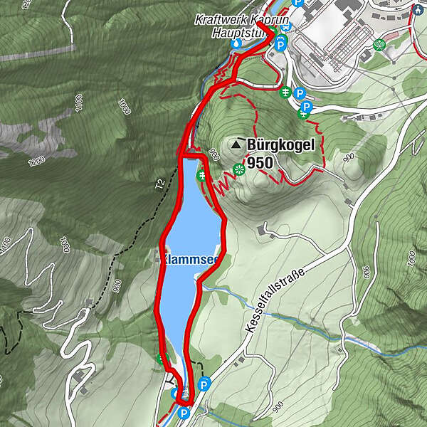
- Route
-
WerkssiedlungWerkssiedlung2.8 km
- Best season
-
JanFebMarAprMayJunJulAugSepOctNovDec
- Description
-
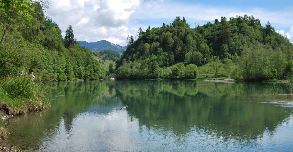
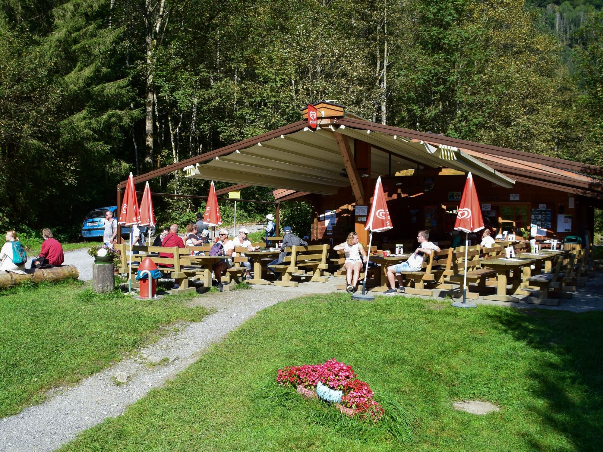
Easy walking round the Klammsee reservoir - a popular destination for relaxation with Kneipp facility and playground.
- Directions
-
This path starts at the main building of the power station to the Sigmund Thun Gorge. (The wooden platform through the gorge is only open in summer, and a entrance fee is charged).
Alternatively, take the Klammweg past the Anton Thuswalnder artist house to the Klammsee and kiosk. A footbridge leads to the left side of the lake. From there we head back out of the valley, past natural study information boards, biotopes and towards a glacial pot-hole erosion. Continue descending towards the gorge and cross over the stream once more. Approx. 100 m further on is the road which, will brings you back to the starting point.
- Highest point
- 880 m
- Endpoint
-
Sigmund Thun gorge
- Height profile
-

- Equipment
-
hiking shoes and rain jacket for the "cool" gorge are recommended.
- Safety instructions
-
Trail no 17
- Tips
-
Visit the Sigmund-Thun gorge! (possible from beginning/mid May)
- Additional information
-
Prices & Infos gorge
Visitors walk along a narrow path over many wooden planks and bridges beside steep rocky walls. The tumultuous wild water of the Kaprun river is a fascinating natural spectacle, which you should not miss! 14,000 years ago the whole Kaprun valley was covered by a glacier. The Kapruner Ache poured through this valley trench that was left behind when the glacier melted.
- Directions
-
By car or bus to Kaprun
- Public transportation
-
Bus 660 - Station: Kaprun Sigmund Thun Klamm
- Parking
-
Maiskogel Valley Station


-

-
AuthorThe tour Circular Path Klammsee is used by outdooractive.com provided.