


- Brief description
-
Easy hiking tour to the top of the Almerberg (elev. 726 m) with option to continue to the top of the more challenging Eberstein at 776 m.
- Difficulty
-
medium
- Rating
-
- Starting point
-
Public parking in the center of Puch (next to the village hall).
- Route
-
Pfarrkirche Puch bei Hallein0.0 kmPuch bei Hallein0.1 kmGasthof Kirchenwirt0.2 kmPuch bei Hallein8.4 km
- Best season
-
JanFebMarAprMayJunJulAugSepOctNovDec
- Description
-
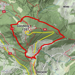
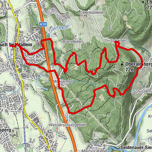
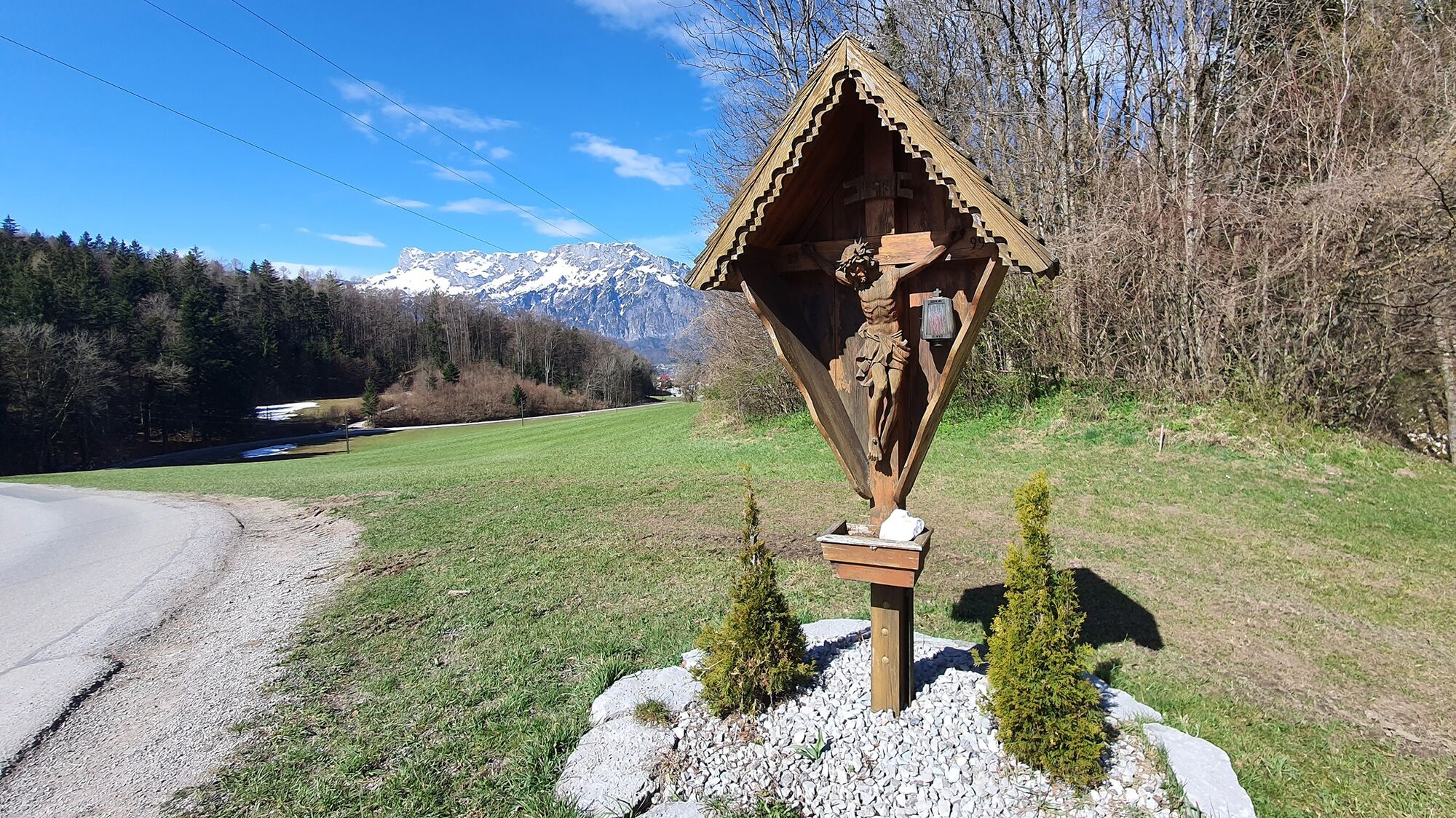
Hike from the centre of Puch uphill in the direction of Almerberg. At Schartengut, you can take a detour to the left to the Eberstein or follow the circular trail to the right. Here, with a wonderful panoramic view, you go downhill again to the east or south of the Almerberg and back to the starting point.
- Directions
-
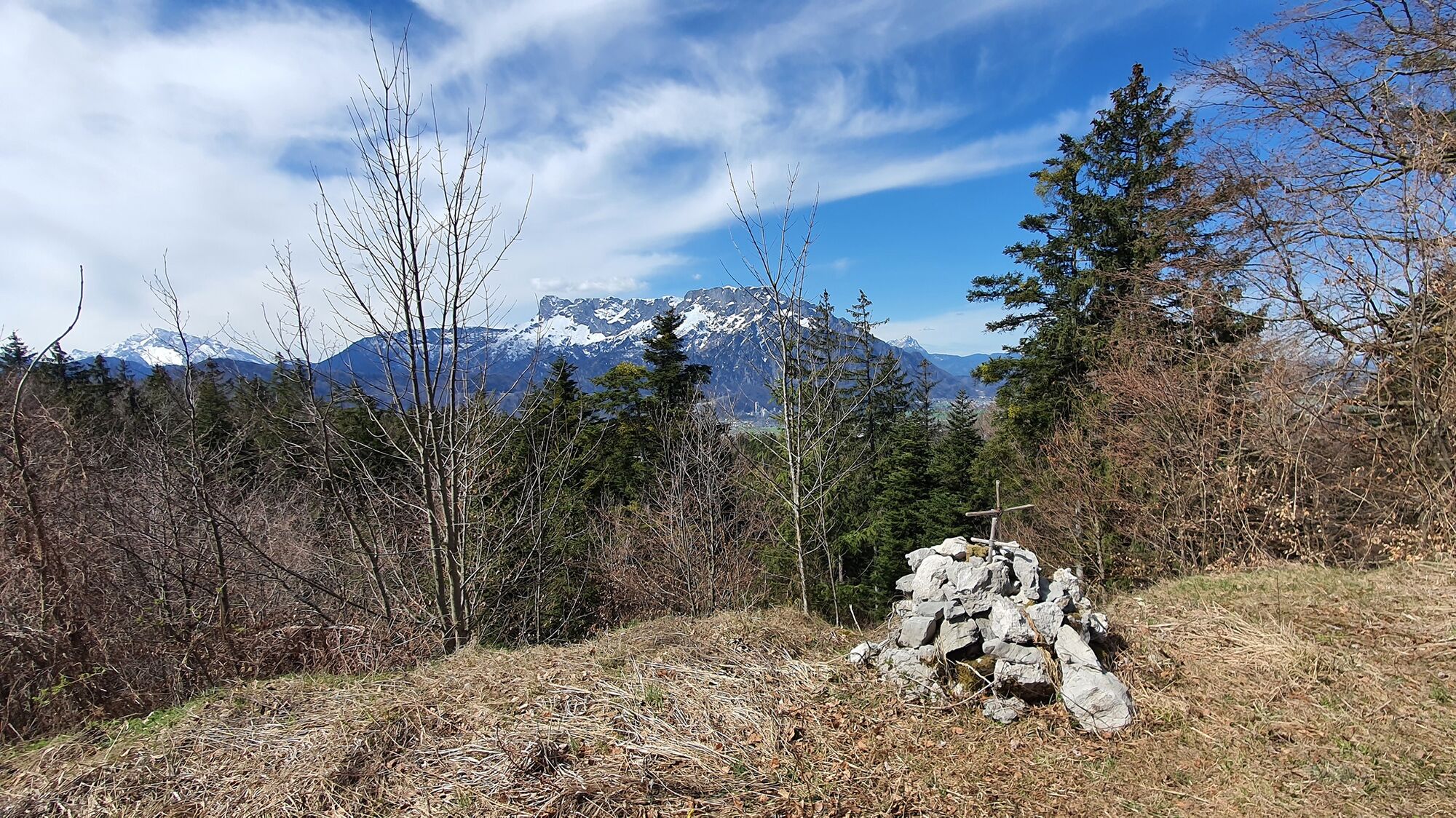
From the Kirchenwirt in an easterly direction, slightly uphill. After the motorway bridge at Filindgut, turn right along a gravel road. After approx. 500 metres, turn left uphill in several serpentines to the Almerberg. On a small saddle right through the forest you reach the highest point of the Almerberg, where you will also find the stamp for the Tennengau Hiking Pass (8 points). From here, the shorter return route leads down to Oberalm.
The longer version continues straight ahead, steeply downhill to the maple tree natural monument at Schartengut. Turn right there, past the Reichengut to a forest road with a barrier. Along this road, slightly uphill again to the next crossroads in the forest, from where it then goes downhill through a wonderful deciduous forest. Now straight on to Oberalm (bus 160) or immediately right past the Wiesengut and Filindgut, back to the starting point in Puch.
At the Schartengut, you can choose the somewhat steeper trail no. 15b over the Eberstein to Tratten or the easier panorama trail no. 17 back to Puch. The Oberalm hiking trail no. 101 leads from the Almberg into the Wiestal valley.
- Highest point
- 715 m
- Endpoint
-
Public parking in the center of Puch (next to the village hall).
- Height profile
-

- Equipment
-
No special equipment required!
Recommended:
Normal hiking equipment with sturdy shoes. Clothing suitable for the weather Drinking water and food if necessary - Safety instructions
-
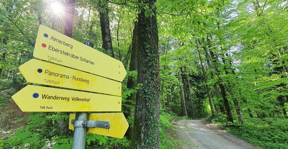
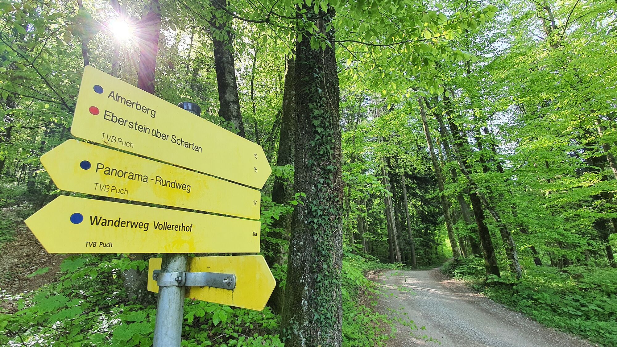
This hiking path is indicated by yellow hiking signs as week as a simple red-white-red symbol in between.
On the variant over the Eberstein to Wiestal, 2 signs warn you "Achtung Absturzgefahr" (“Danger of falling!”) along a stretch roughly 100 meters long. Here, there are no safety railings and children should be led by the hand. - Tips
-
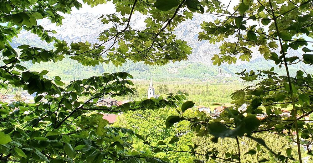
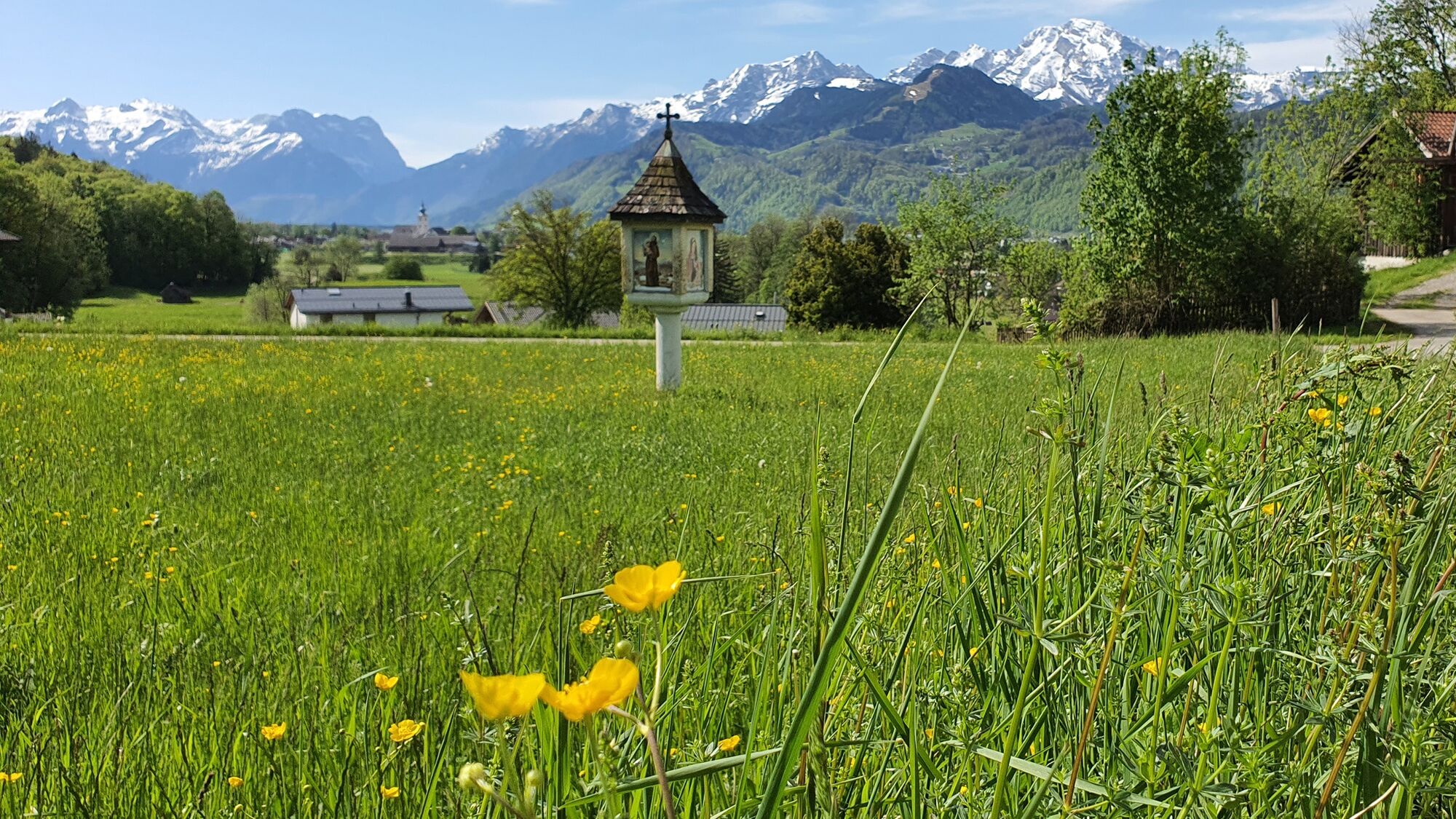
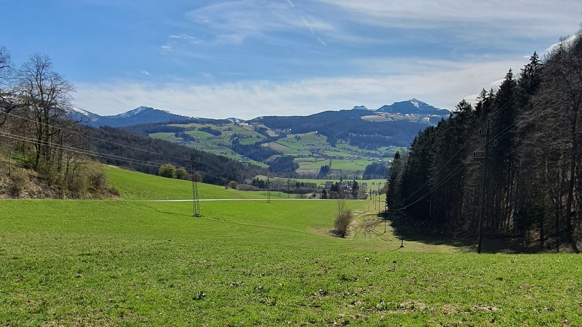
A hike to the top of the Almerberg has the added appeal of conquering a summit, of course. That said, the views during the hike via the Scharten- and Reichengut are better.
If you choose the path over the Eberstein, you can also hike via Wiestal, past the Tratten and Kohlreit, to the clearly marked Panoramaweg (No. 17).
Several refreshment options locally in Puch: see www.puch-salzburg.com
- Directions
-
By car from Vienna on the A1 autobahn or from Munich on the A9, shortly before reaching the Tennengau (Hallein) you will come to a big interchange where you will merge onto the A10 (Tauern Autobahn), continuing south. Puch/Urstein (Exit 11) is the northernmost autobahn exit in Tennengau. If you are driving in from the south on the A10 from Villach/Kärnten, also leave the Tauern Autobahn in Puch Urstein, taking Exit 11. From this exit. drive either south into Puch itself or north following signs for Salzburg City as far as St. Jakob am Thurn.
- Public transportation
-
By bus: The No. 160 coming from Salzburg City stops right outside Puch village hall. Coming from Hallein, get off either at the stop in front of Bäckerei Pföss (across from the fire station) or, after the village hall, opposite the parish church.
By train: Puch has 2 stops on the suburban railway (S-Bahn). One is close to the town center and one is at the Salzburg University of Applied Sciences in Puch Urstein. Both offer free parking.
- Parking
-
Public parking in the center of Puch (next to the village hall).


-
-
AuthorThe tour Puch: Almerberg - circular trail (No. 15, 8 points) is used by outdooractive.com provided.


General info
-
Tennengau - Dachstein West
1991
-
Oberalm
606