

© Zell am See-Kaprun Tourismus GmbH - Dominik Wartbichler


- Brief description
-
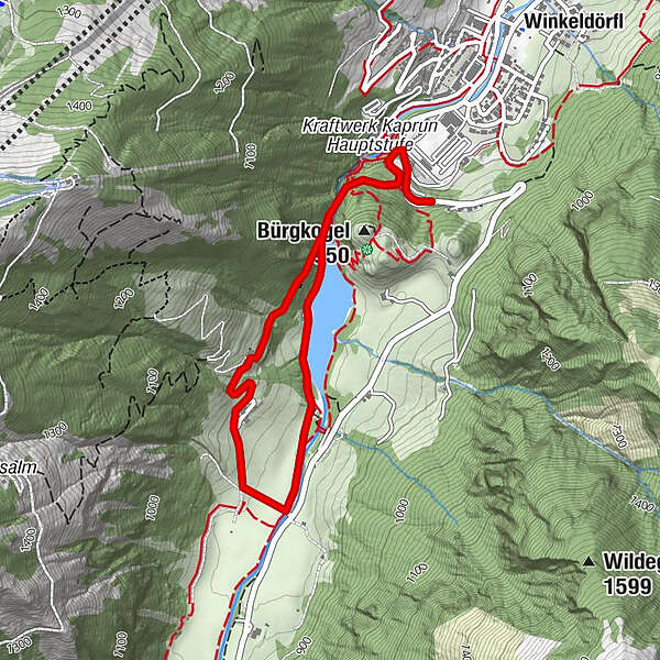
Along the Klammsee to the Almwirtschaft Schneckenreith farm.
- Difficulty
-
easy
- Rating
-
- Starting point
-
junction Klammsee Trail no. 17
- Route
-
Werkssiedlung0.2 kmWerkssiedlung4.1 km
- Best season
-
JanFebMarAprMayJunJulAugSepOctNovDec
- Description
-
A leisurely hike through the forest, past the Klammse" to the Schneckenreith hut.
- Directions
-
The trail branches off to the right approx. 100 metres after the Klamm Trail, ascending slightly and leading through forest and shrubbery to the Almwirtschaft Schneckenreith farm.
- Highest point
- 921 m
- Endpoint
-
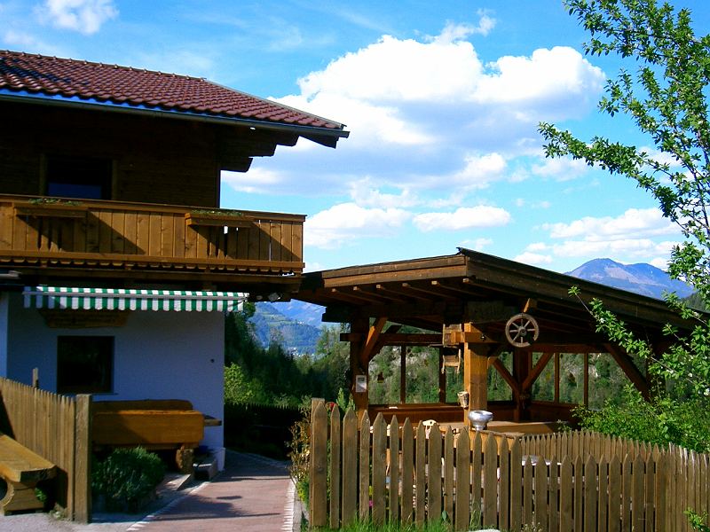
Almwirtschaft Schneckenreith farm
- Height profile
-

- Equipment
-
sturdy shoes (and rain jacket for the gorge) are recommended!
- Tips
-
In the small alp, which is open from mid May to end of September, they offer a wide range of selfmade local products such as cheese, butter, milk, bacon and much else.
- Additional information
- Parking
-
free parking "Sigmund Thun Klamm", Kesselfallstraße, left side

-

-
AuthorThe tour Schneckenreithweg is used by outdooractive.com provided.
GPS Downloads


Other tours in the regions


