- Brief description
-
Beautiful hiking golf course through the village of St. Martin bei Lofer.
- Difficulty
-
easy
- Rating
-
- Starting point
-
St. Martin bei Lofer - by the asphalt curling lane
- Route
-
Gasthaus zum Steinerwirt1.7 kmSankt Martin bei Lofer1.7 kmRestaurant Cafe Martinerhof1.8 km
- Best season
-
JanFebMarAprMayJunJulAugSepOctNovDec
- Description
-
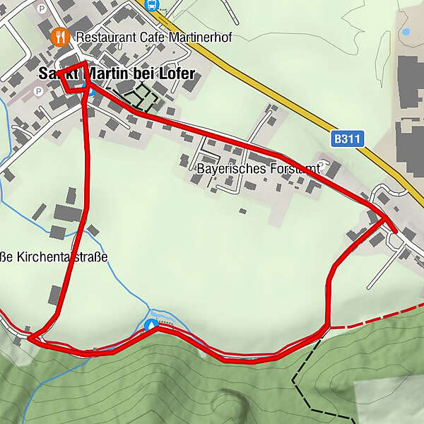
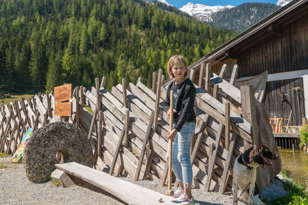
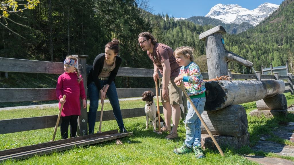
The shortest hiking golf course in the Salzburger Saalachtal, ca. 2.1 km, is situated in St. Martin bei Lofer. You begin at the asphalt curling lane, past an old mill, to the Kneipp facility and via the village street back to the last hole at the Gasthof Steinerwirt.
- Directions
-
Your tour begins at the asphalt curling lane. The next station is not far away, in front of the children's playground. Continue past the council offices to Müllergut (Dorf 11). Stations 5 and 6 are found at the Kneipp facility. Follow the path until the next junction, then turn left and you will soon find the next station at the Hochangerbauer fountain (Dorf 14). Finally, wander along the St. Martin bei Lofer village street in the direction of the starting point and there you will find another station just before the Pfarrhof (Dorf 60) and the final station at the Gasthaus Steinerwirt (Dorf 12).
- Highest point
- 635 m
- Endpoint
-
St. Martin near Lofer - Steinerwirt
- Height profile
-

- Equipment
-
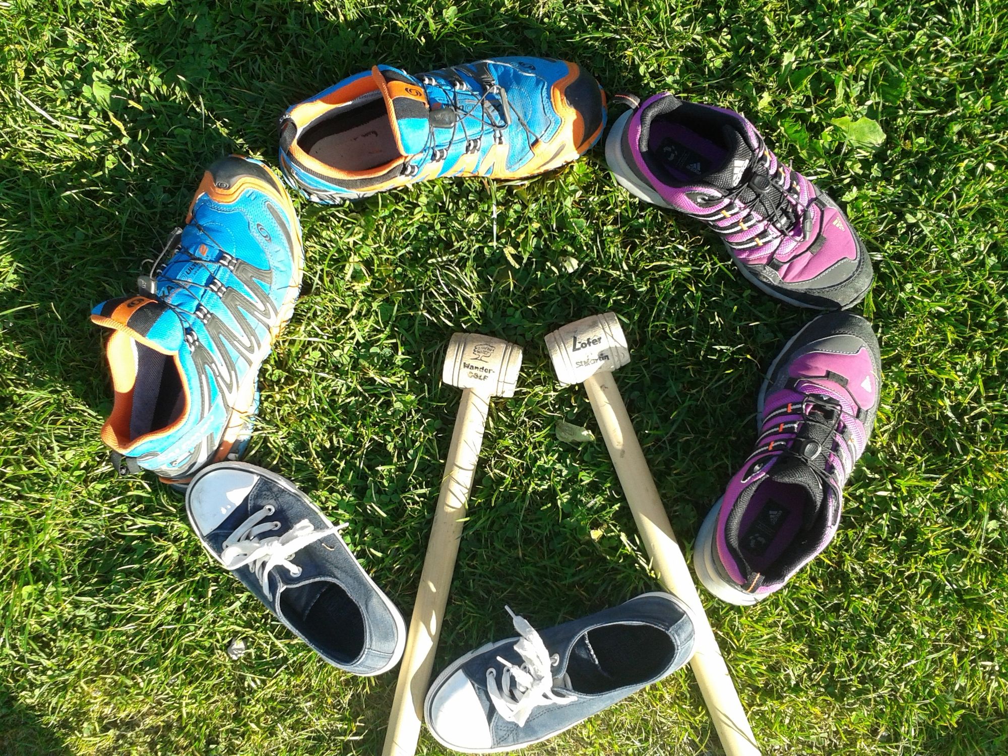
Hiking golf clubs, balls and game plan (available free of charge at all information offices in the Salzburger Saalachtal Valley and in various guesthouses)
- Tips
-
Cool off in the natural herbal Kneipp facility.
- Directions
-
Via the B311 (Lofer or Saalfelden) to the village centre of St. Martin bei Lofer.
- Public transportation
-
With the bus 260 (timetable) to the bus stop St. Martin Ortsmitte or St. Martin Luftenstein.
- Parking
-
Parking free of charge at the fire station St. Martin (northern entrance to the village)


- Author
-
The tour Hiking Golf Course St. Martin is used by outdooractive.com provided.