


- Brief description
-
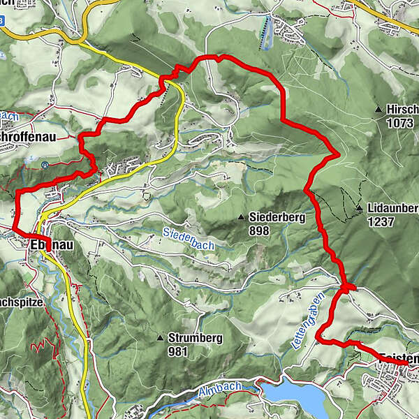
Diverse mountain and valley hike along little-used side streets and well-marked trails.
- Difficulty
-
easy
- Rating
-
- Starting point
-
Faistenau
- Route
-
FaistenauKrämerwirtPfarrkirche Faistenau zum Heiligen Jakobus der Ältere0.0 kmGrabnerhäuser1.3 kmLidaun1.7 kmSchroffenau8.6 kmPlötz9.5 kmMühlgrubsiedlung10.3 kmSportplatzsiedlung10.3 kmUnterberg11.4 kmEbenau11.8 km
- Best season
-
JanFebMarAprMayJunJulAugSepOctNovDec
- Description
-
The regional trail around the Strubklamm Gorge, a dream tour in the Salzburg area of the Salzkammergut, leads to numerous natural wonders. Perhaps the most beautiful is the “Plötz”, an enchanting gorge with lovingly renovated mills, an impressive waterfall and a natural swimming area. However, the first stage destination also has something to offer: in the 17th century, Ebenau was a small centre of iron processing, which several historical buildings commemorate.
- Directions
-
From the parish church in Faistenau, follow the street towards Ebenau to the sports field, turn right and hike to the forest climbing park. Turn left at the facility and descend through the forest to the Schmiedbach Stream. After a return climb between fields, you arrive at an asphalted farm lane in the hamlet of Lidaun. Go right to a fork at the edge of the forest, where you ascend to the left to the nearby junction with the Lidaunstraße (771 m).
Make a sharp right on the street and after 150 metres, take a sharp left onto a forest road (trail marker “Lidaungipfel, Bärenhöhle”, no. 44). The road ascends through the forested southwestern slopes of the Lidaunberg Mountain. At about 1000 metres above sea level, the path (with 5 information boards) to the Bärenhöhle Caves and the summit cross on the 1223-metre-high Lidaun Peak turns right (worthwhile detour, a good 1:00 h of additional hiking time).
The hiking route towards Ebenau, however, leads to the left through the forested slope. From a hunting lodge, the trail continues along a forest road to the saddle (932 m) and then another 500 metres, where a hiking trail on the left descends to Gängstraße (790 m) between Faistenau and Hof. After crossing the trail, you continue between fields to the nearby edge of the forest and descend to Wiestal-Landsstraße. This street is also crossed. From the car park on the other side, hike along Schroffenaustraße which turns to the south, past the hamlet of Schlag to the two farmsteads in the Hinterschroffenau (750 m), which are also called “Lodagei”. 3:00 h
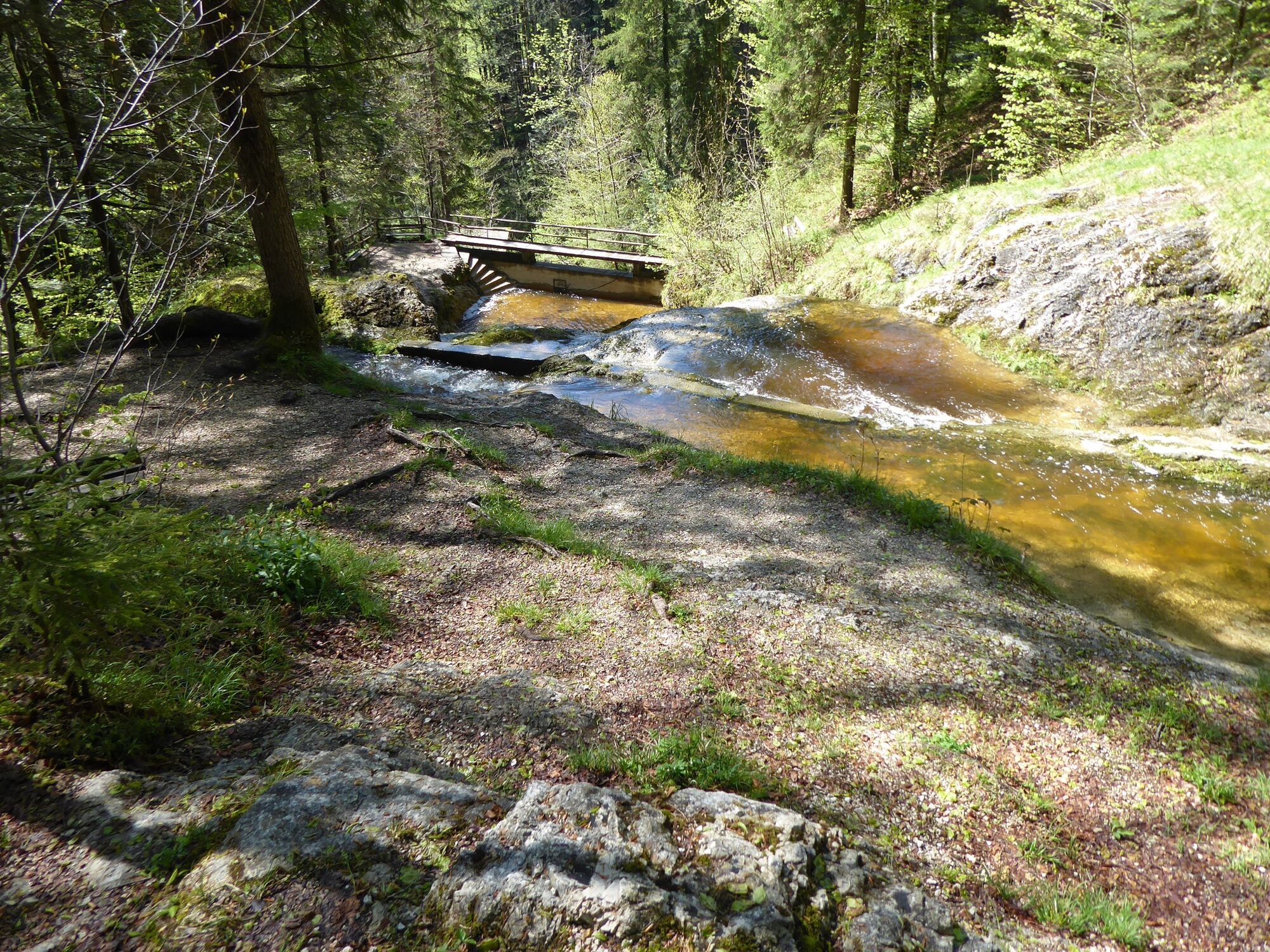
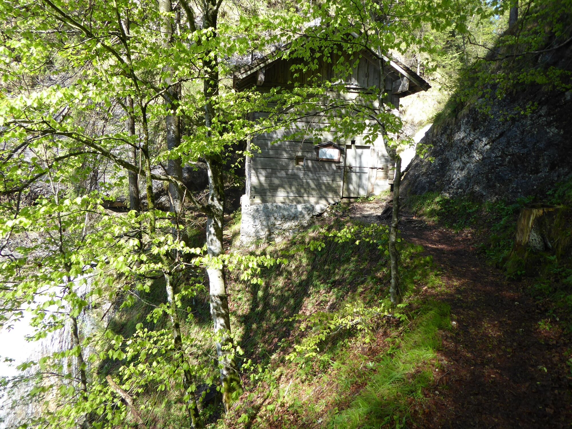
There you turn left towards Ebenau into the Plötz. On this path, which leads to the right around the forest hill into the gorge of the Rettenbach Stream, grain was once carried to the Schroffenau Mill. This small wooden building from the 16th century is reached by continuing straight ahead at the fork – the mill stands directly above the 25-metre waterfall of the “Plötz”.
The somewhat exposed trail zigzags down to the Eder Mill (waterfall detour to the right) and then continues to the “double” Pertiller Mills. There you turn right (the Schildauer and Hofbauer Mills can be visited by going left) and cross the Rettenbach Stream on a footbridge. Afterwards, follow the Arnoweg up and down to the west for about 1 kilometre. Go left along the forest trail to reach the hamlet of Unterberg and – turning left again – to arrive in Ebenau (623 m).
From the primary school, a short detour leads left to the historical Waschl Mill. Go straight to pass underneath the bypass street and continue into the village centre with the historical Fürstenstöckl (tourism office). 1:00 h
- Highest point
- 967 m
- Endpoint
-
Ebenau
- Height profile
-

- Equipment
-
For all stages, you will need hiking or mountain boots with treaded rubber soles as well as wind- and rainproof clothing. A change of clothes and a small first-aid kit should also be included in your backpack. The amount of provisions you should pack depends on the number of available rest stops. In any case, you should always take along plenty to drink. Telescopic poles are helpful, especially when walking downhill.
- Safety instructions
-
In alpine terrain, be aware of the danger of falling rocks.
Through early summer, you may encounter steep snowfields or firn gullies – especially during icy conditions, there is an acute risk of falling and thus fatal injury!
Due to storm damage, forestry work or construction work, individual trail sections may be difficult or impassable at times.
Cows in the alpine meadows are often curious. Because they are nursing mothers, they develop a strong tendency to protect their calves. Therefore, move through cow pastures quietly, keep at least 20 metres of distance to the animals and never pet calves! In the case of threatening behaviour (pawing, stamping) slowly back away (do not turn your back). Keep dogs on a leash. They must not bark at or chase cows. In the case of an attack, the dog must be released from the leash. - Tips
-
Note: Bus connection Faistenau – Hof (Line 155) and Hof – Ebenau (Line 154).
- Additional information
-
Text kindly provided by the publisher KOMPASS-Verlag and Wolfgang Heitzmann.
Further information at trail.salzkammergut.at


- Author
-
The tour BergeSeen Trail F1: Faistenau - Ebenau is used by outdooractive.com provided.


General info
-
Salzkammergut Oberösterreich
3081
-
Fuschlsee - Ferienregion
1659
-
Ebenau
565


