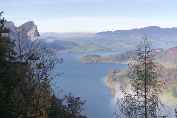

- Brief description
-
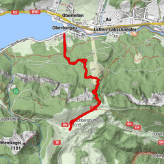
Track length: 8.8 km / 350 Hm
Walking time: 3 hours
Difficulty: Easy - Difficulty
-
medium
- Rating
-
- Route
-
Rosserhütte8.1 km
- Best season
-
JanFebMarAprMayJunJulAugSepOctNovDec
- Description
-
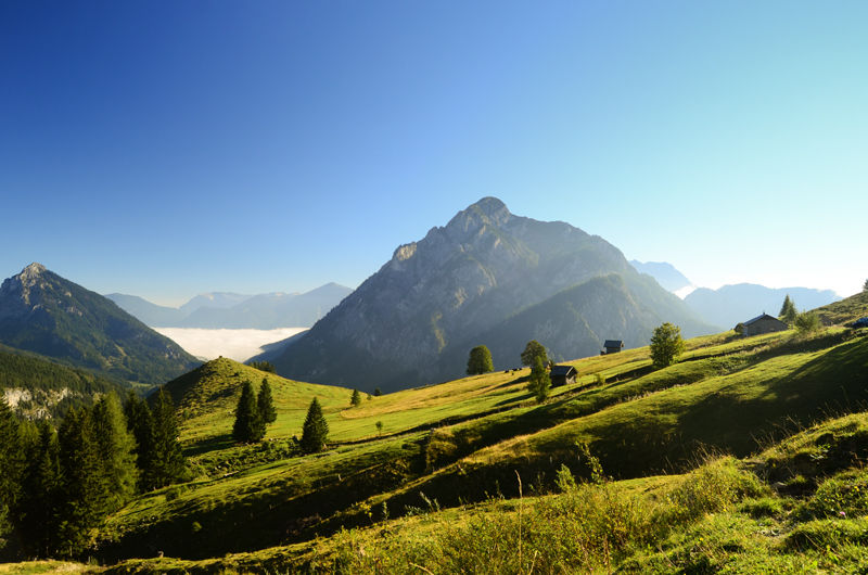
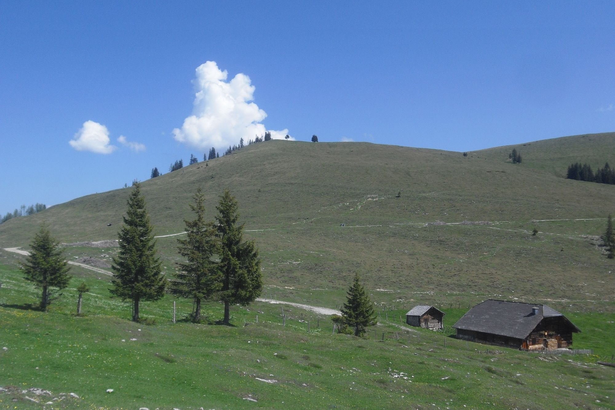
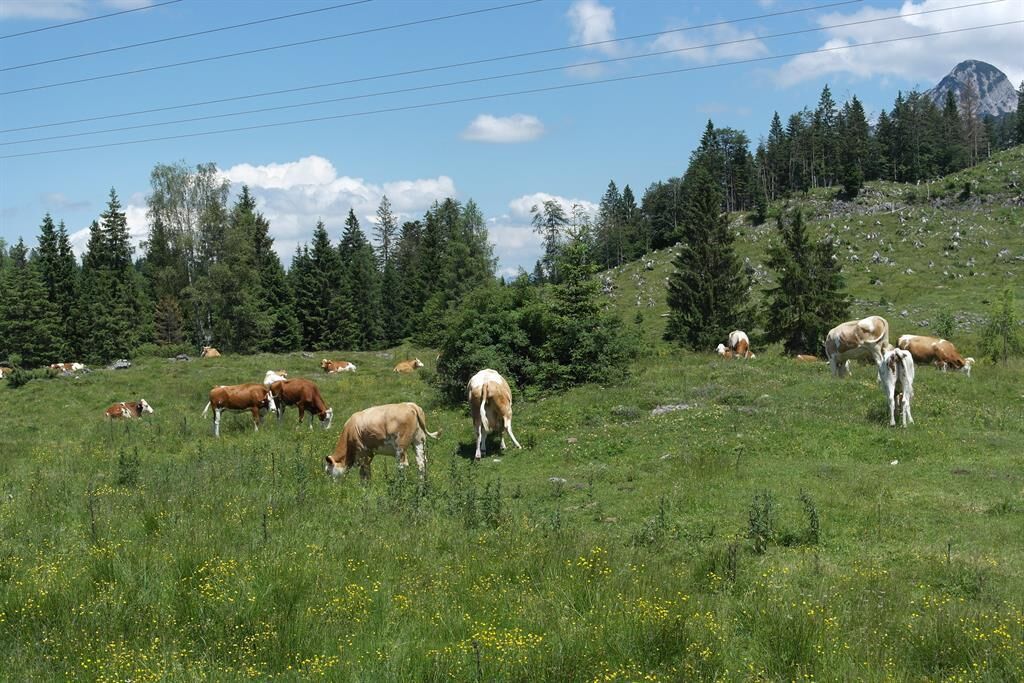
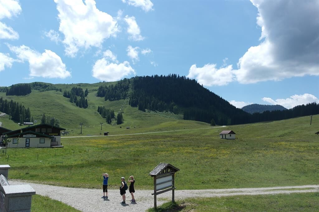
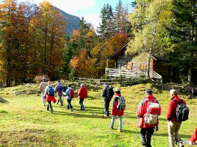
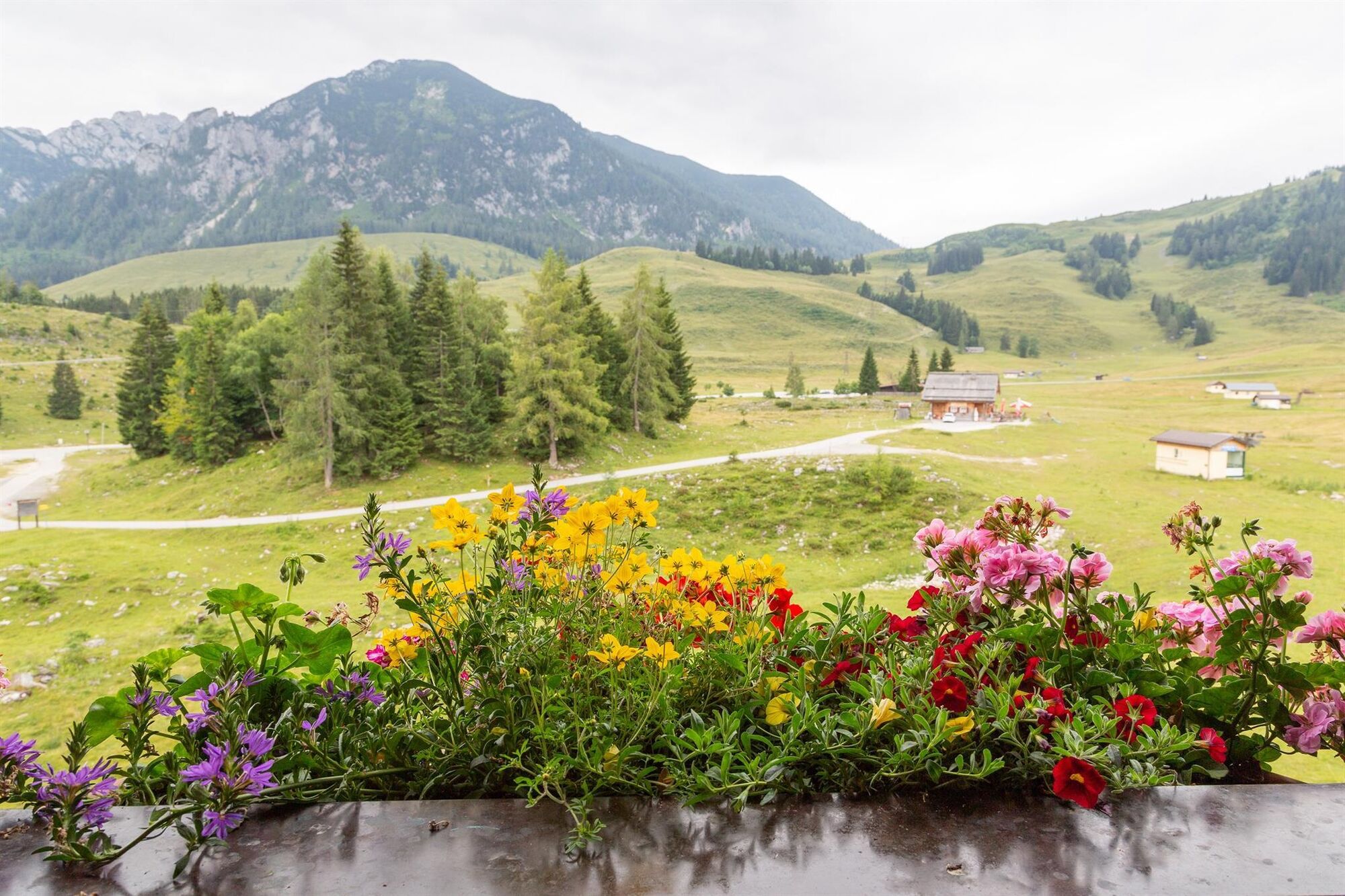
3 hour walk through the largest pasture area of Austria - the Postalm.
- Directions
-
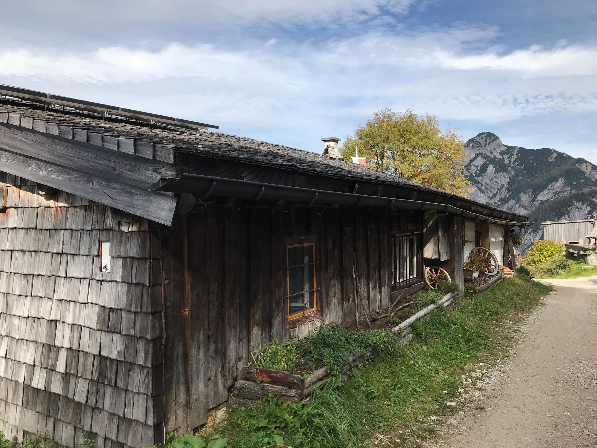
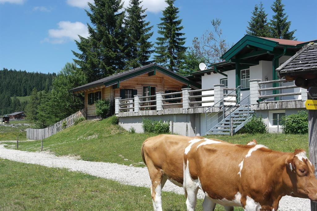
At the Inn Lienbachhof you leave the fenced parking, to the direction to Strobl and turn right towards to the hut “Rettenegghütte”. After about 1.5 km at the left you would reach the “Rettenegghütte” ( even 500m / 40 Hm). The trail leads to the right below the mountain “Braunedelkogel” and along the “Moosberg-Sattel” and to the pastures “Moosbergalmen”. Now you follow the descending forest road to the pasture “Außerlienbachalm”. From there the trail follows the forest road to the hut “Rosserhütte” and the “Almboden” to the starting point
- Highest point
- 1,367 m
- Endpoint
-
Postalm Gasthof Lienbachhof
- Height profile
-

- Equipment
-
geeignete Wanderkleidung, Wanderschuhe
- Safety instructions
-
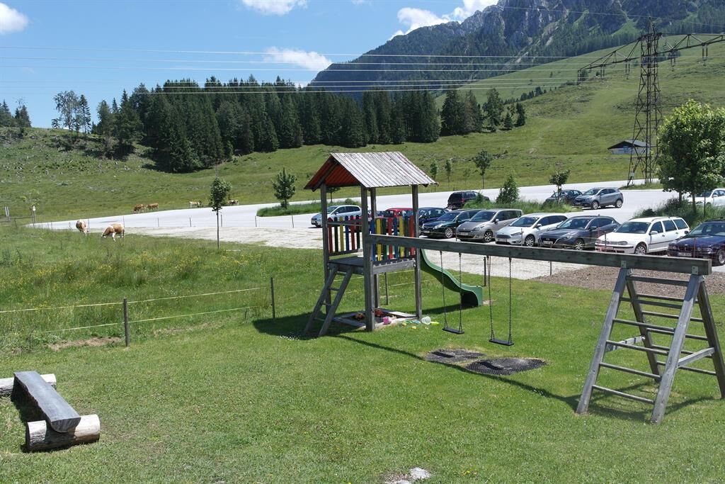
Parking 1 is protected from grazing animals, please park in fenced parking.
- Tips
-
Make a stop in the quaint hut "Rettenegghütte" and sample the homemade pasture produce.
- Directions
-
Directions from the center of Abtenau: The Postalm is accessible via the toll road from Abtenau. Several times a week the Postalm is approached also by a bus for hikers. Timetables are available at the tourist office.
- Public transportation
-
With the bus to "Abtenau town center". From there, in the summer months a bus drives every Tuesday and Thursday (in any weather) at 10.07 am to the beautiful pasture "Postalm". Return from the Postalm at 04.13 pm and arriving in Abtenau at 04.30 pm. Total price with guest card: € 5,50.
- Parking
-
Parking in the center of Abtenau
Postalm Gasthof Lienbachhof


-

-
AuthorThe tour Abtenau: Postalm - round 1 is used by outdooractive.com provided.


General info
-
Salzkammergut Oberösterreich
3081
-
Wolfgangsee - Salzkammergut
1795
-
Postalm
505