


- Brief description
-
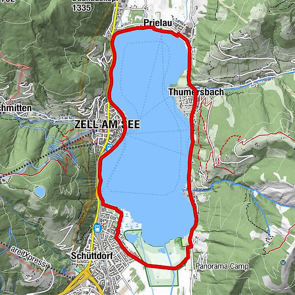
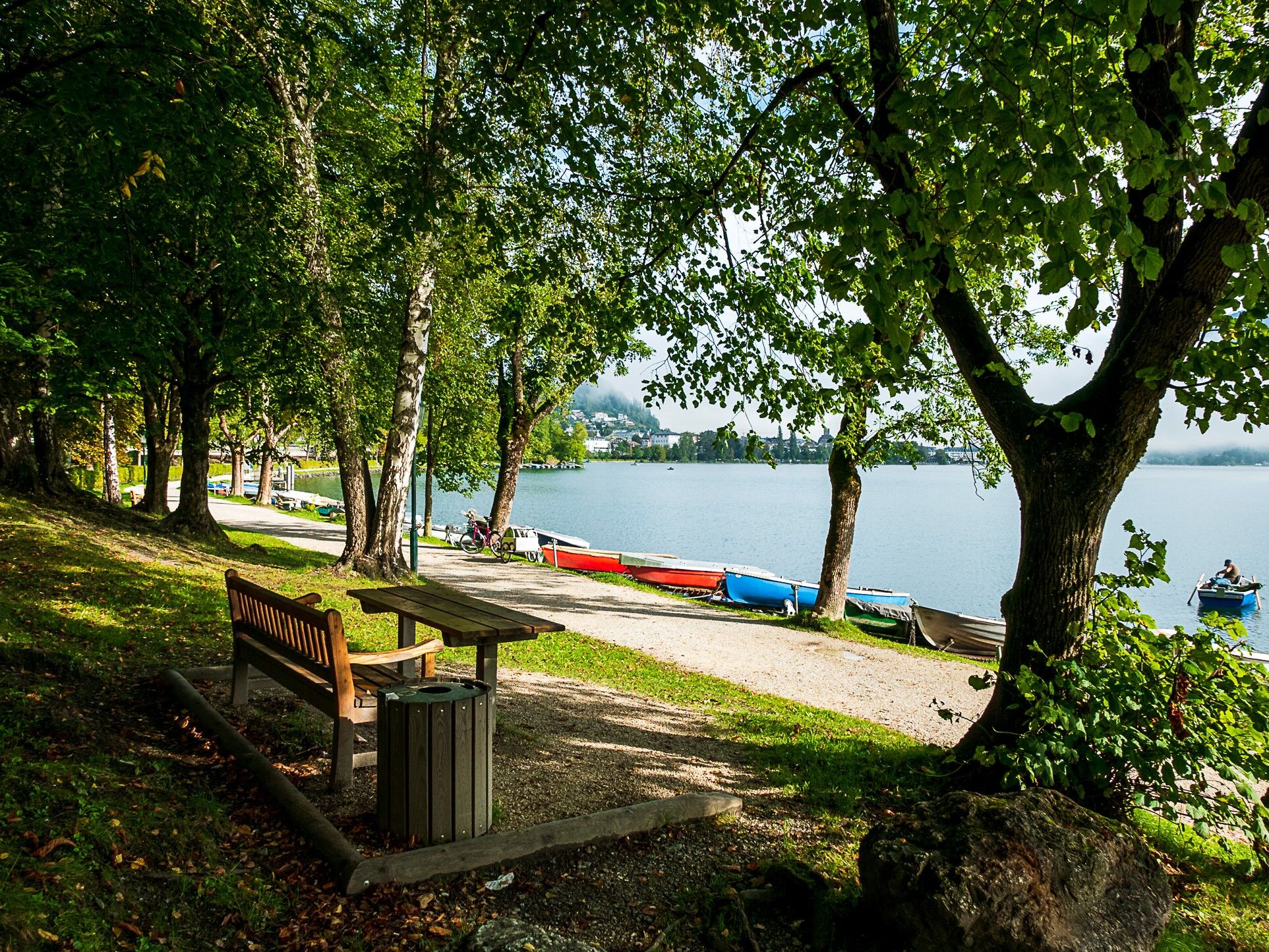
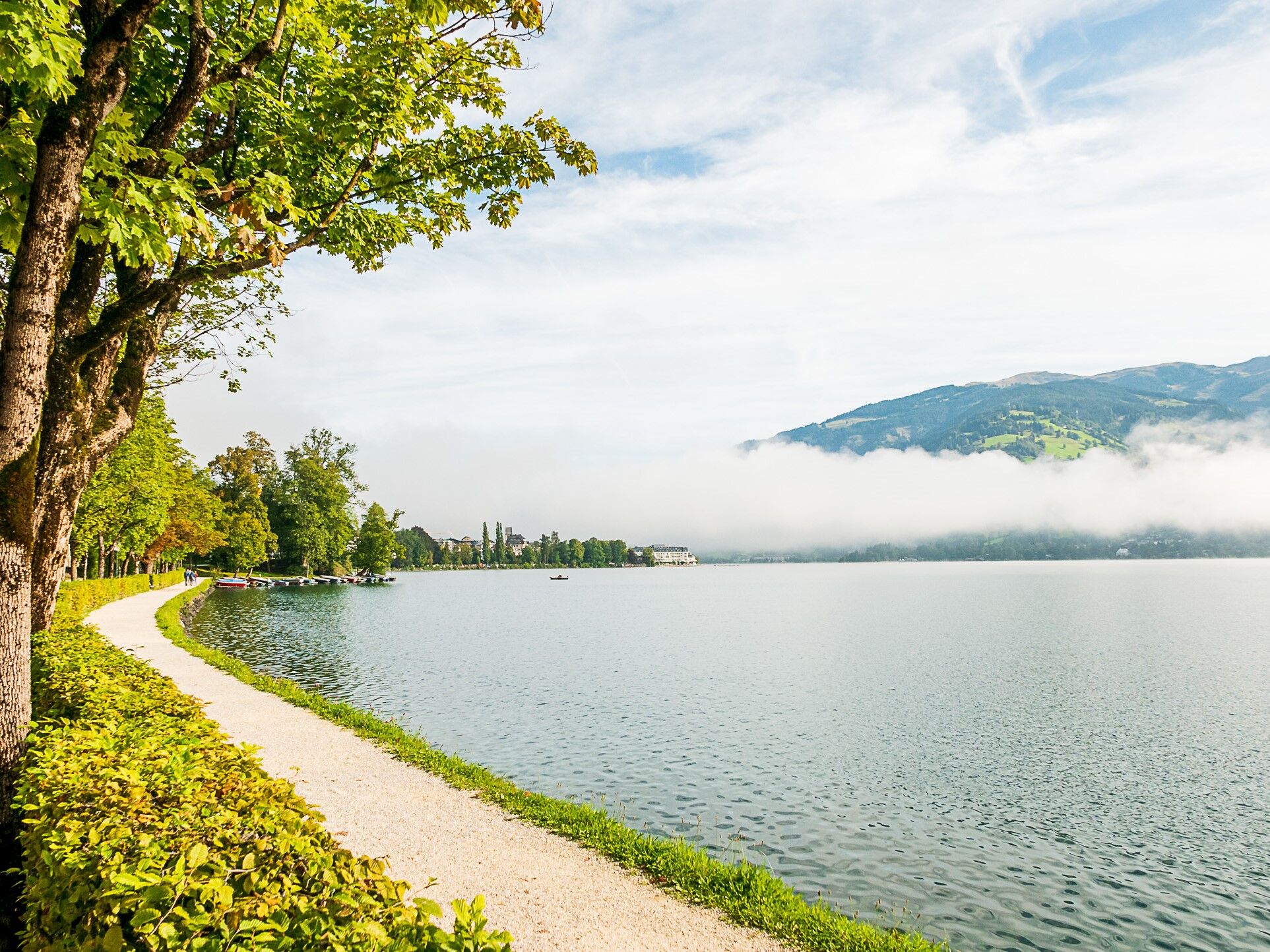
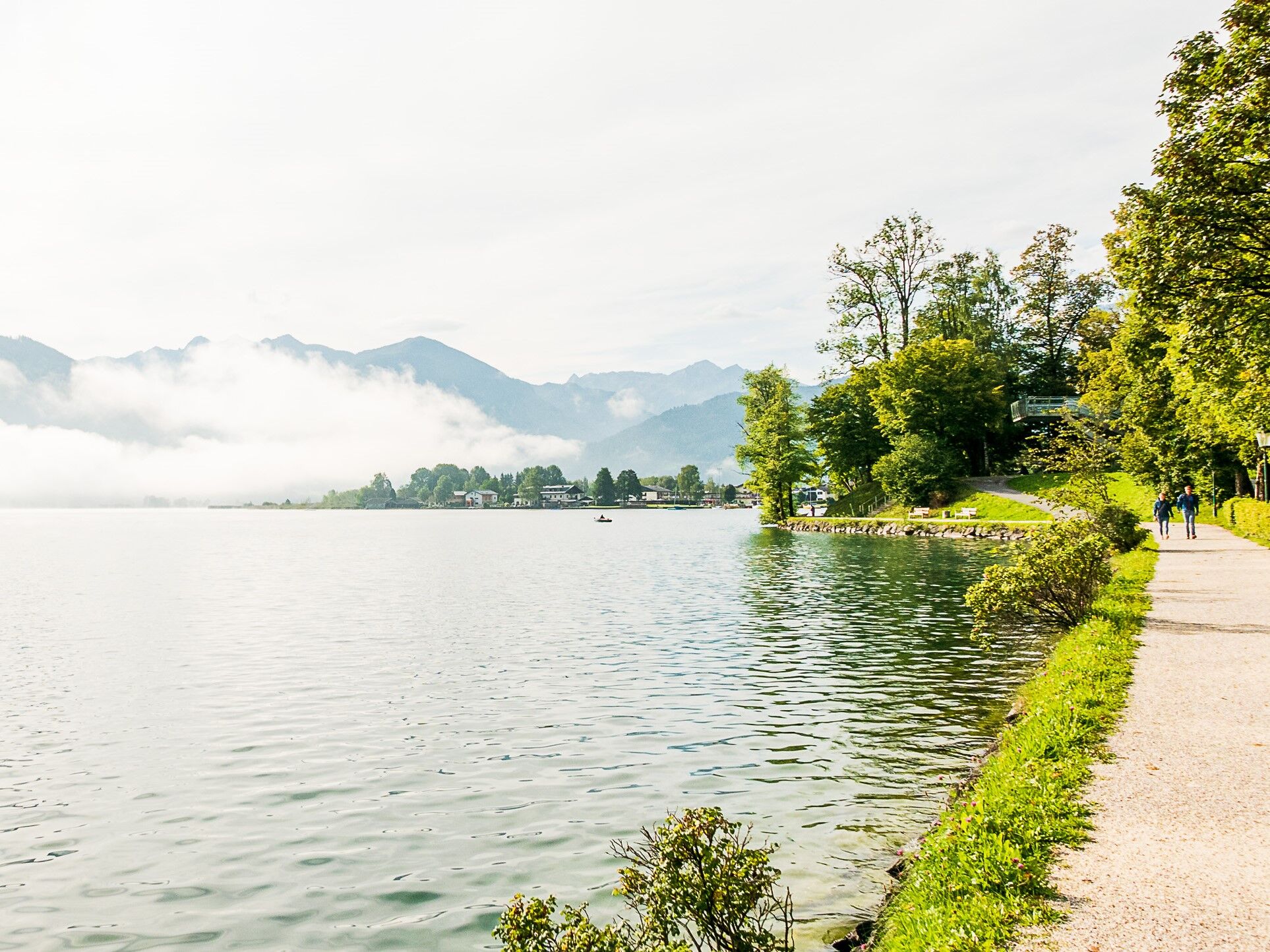
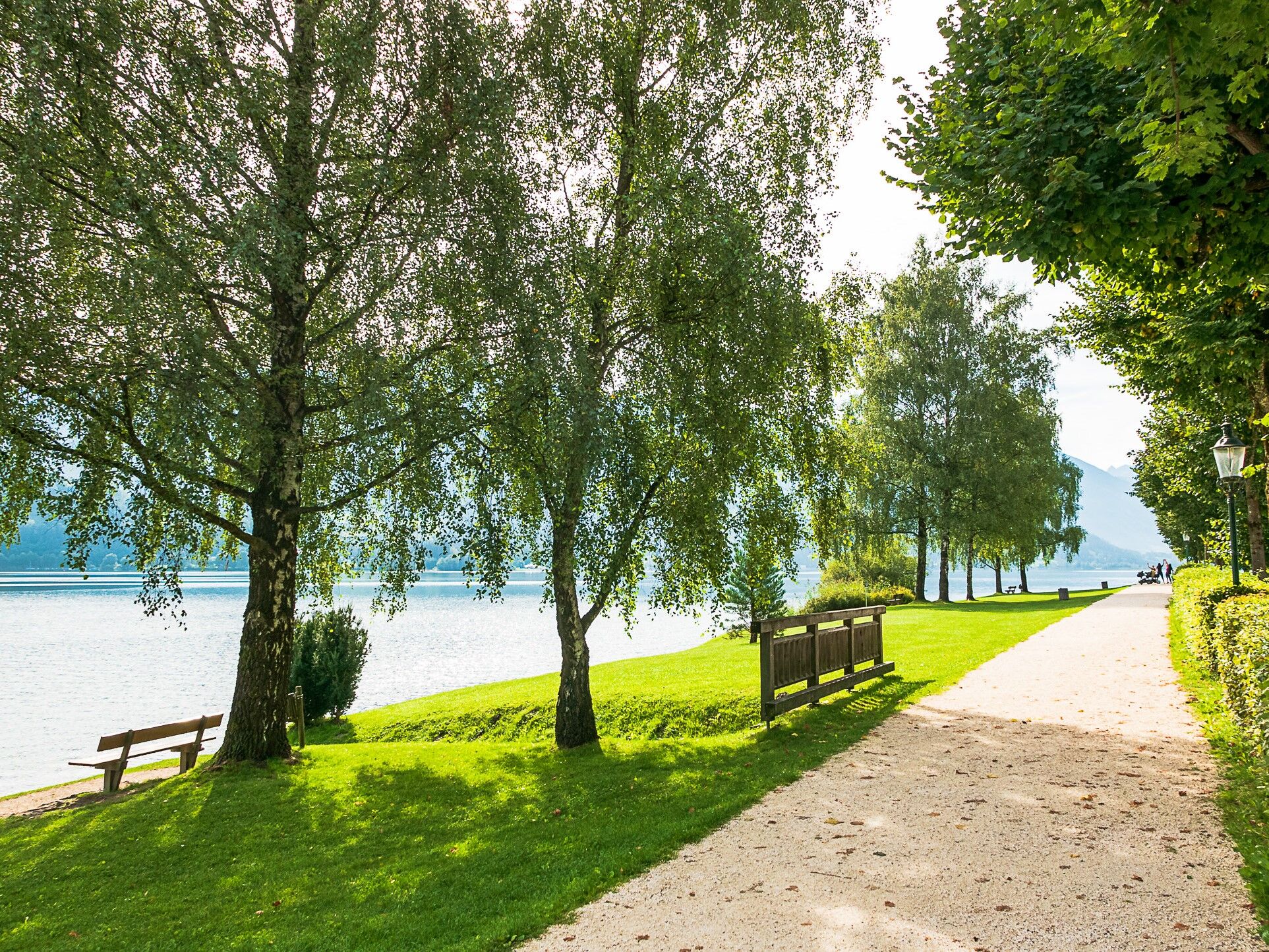
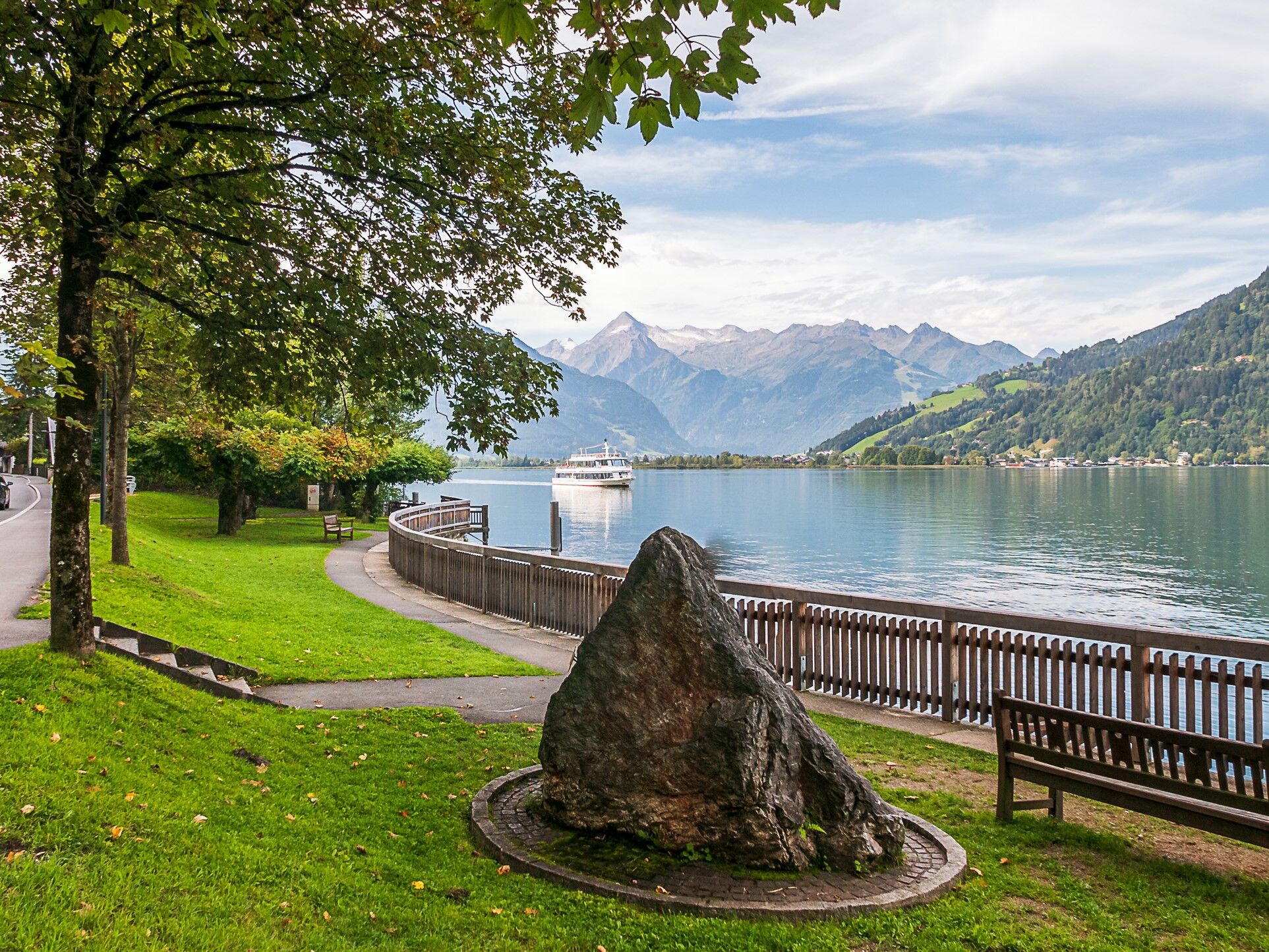
walking path aroudn the lake Zell
- Difficulty
-
easy
- Rating
-
- Starting point
-
anywhere along the lake
- Route
-
SeespitzSeespitz0.1 kmHeldenhain0.4 kmZell am See0.9 kmEsplanade1.3 kmAltstadt1.4 kmInnenstadt1.4 kmZell am See (750 m)1.5 kmEsplanade1.8 kmGrinzing2.6 kmEinöd2.8 kmSeewirt - Das Restaurant3.0 kmAbdeckerfeld3.1 kmPrielau3.8 kmGasthof Wieshof4.4 kmWiesenlehen4.7 kmThumersbach5.6 kmLohninghof5.7 kmBellevue6.3 kmSonnhof6.7 kmErlberg7.3 kmGranisiedlung9.7 kmZell am See (750 m)11.0 kmSeespitz11.0 km
- Best season
-
JanFebMarAprMayJunJulAugSepOctNovDec
- Description
-
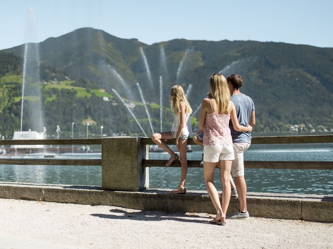
It is possible to go completely around the lake on the Seepromenade. The western side of the promenade runs almost always directly next to the shore of the lake. The eastern side of the promenade follows the footpath of the Seeuferstrasse. To the south, the route continues over the Thomas Bernhard path through the nature reserve.
- Directions
-
It is possible to walk all the way round Lake Zell on the lake promenade. The western part of the promenade runs almost exclusively along the lakeshore. In the southern section, the trail leads along the Thomas Bernhard Weg through the nature reserve. The eastern part of the promenade runs on a pavement along the lakeside road. Recommendation: On the Thumersbach side, change to the Thumersbach High-Altitude Promenade no. 90 to the "Guestbook" theme trail.
- Highest point
- 767 m
- Height profile
-

- Tips
-
with stroller: A comfortable path with some sidewalk or very fine gravel path along the Zeller lake. There are many places to rest for a break. From Thumersbach you can also return to the center by boat.
- Additional information
- Public transportation
-
by bus or train to train station Zell am See
- Parking
-
Strandbad Seespitz car park (free of charge)


-

-
AuthorThe tour Lake Promenade is used by outdooractive.com provided.

-
Zell am See - Kaprun
1504
-
Schmittenhöhe
522


