


- Brief description
-
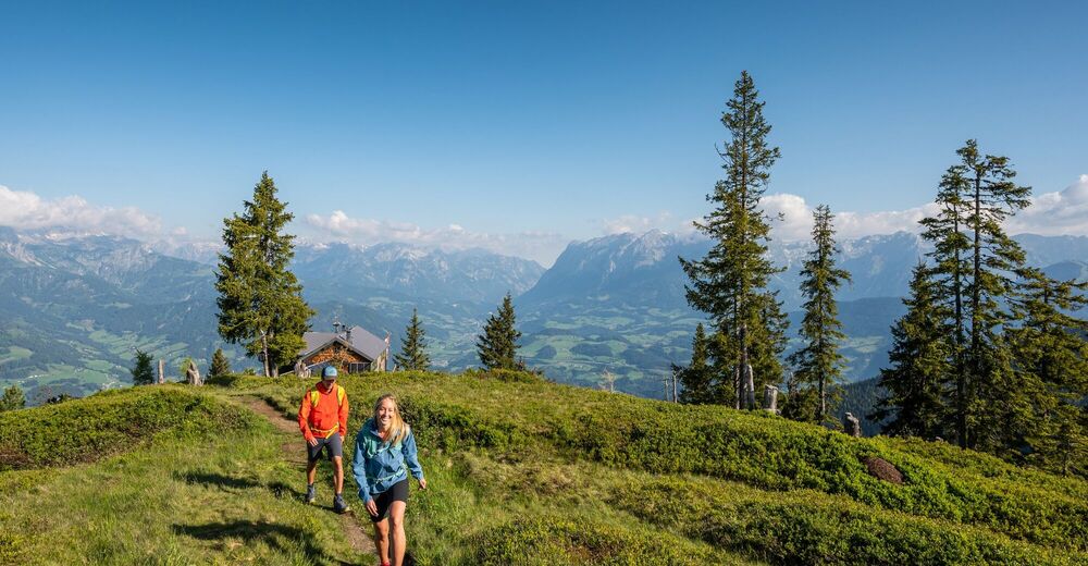
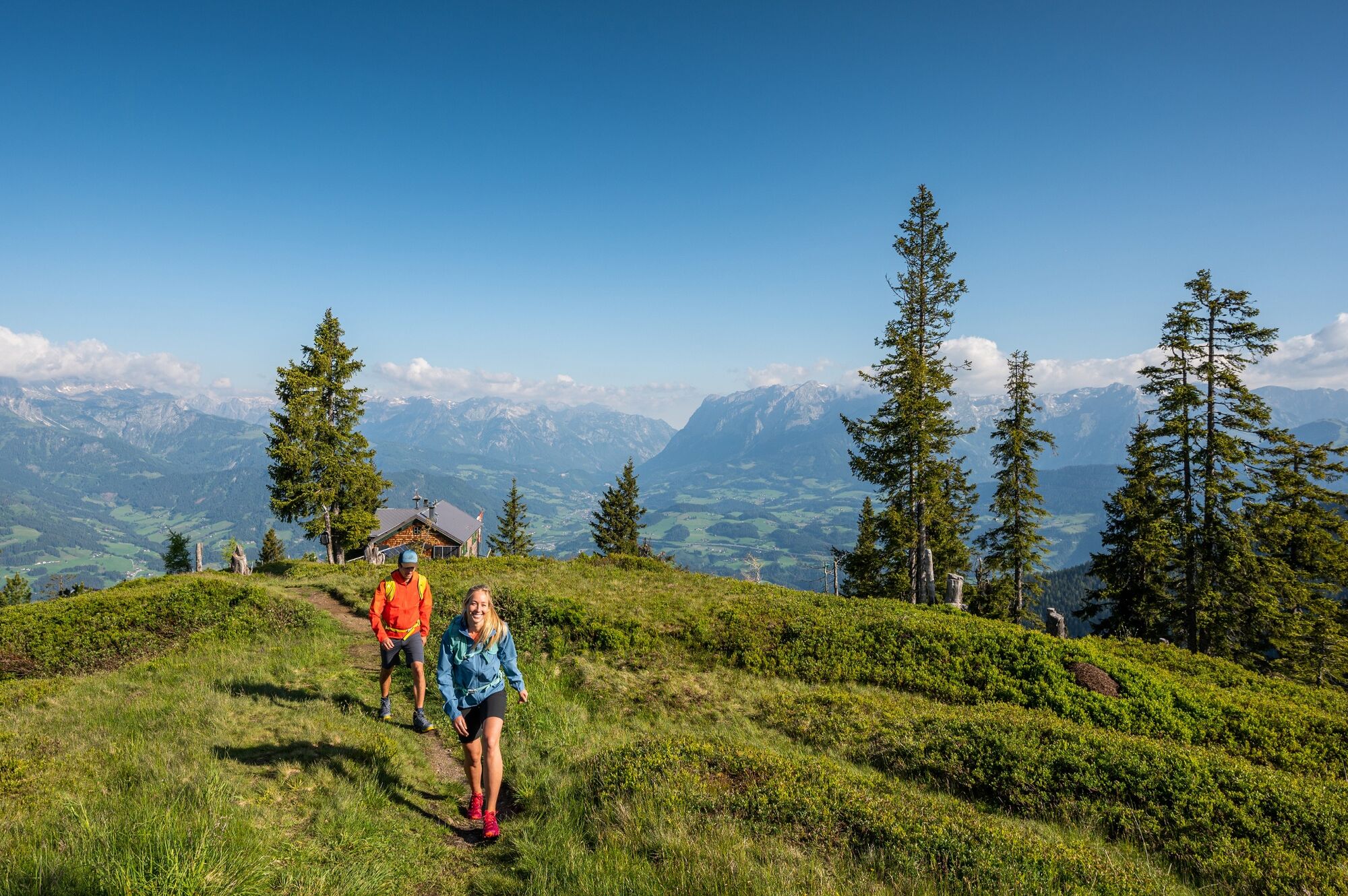
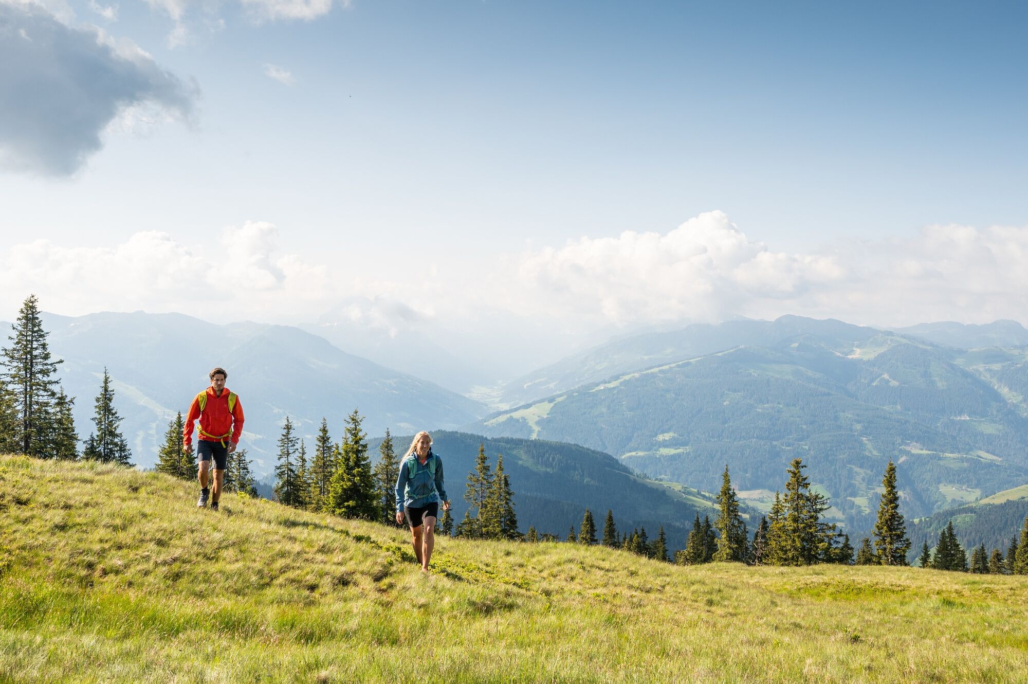
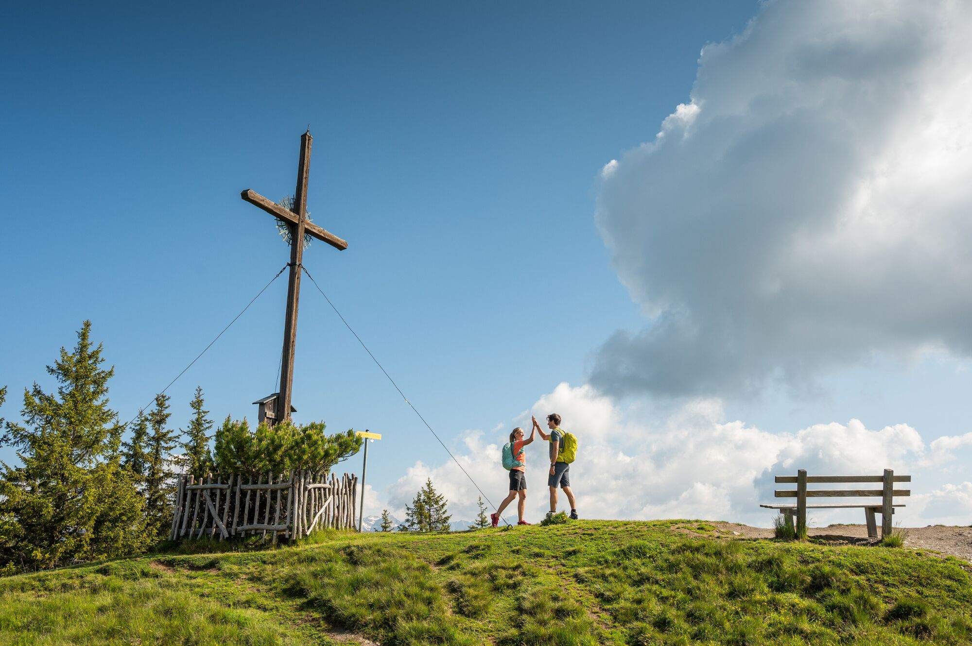
Hike with a wonderful panorama, past the Lackenkapelle to the Hochgründeck.
- Difficulty
-
medium
- Rating
-
- Route
-
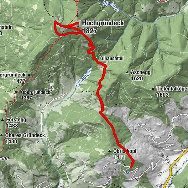
Lackenkapelle1.8 kmHochgründeck (1,827 m)5.8 kmSt. Vinzenz Friedenskirche6.4 kmHeinrich-Kiener-Haus6.4 kmLackenkapelle10.7 km
- Best season
-
JanFebMarAprMayJunJulAugSepOctNovDec
- Description
-
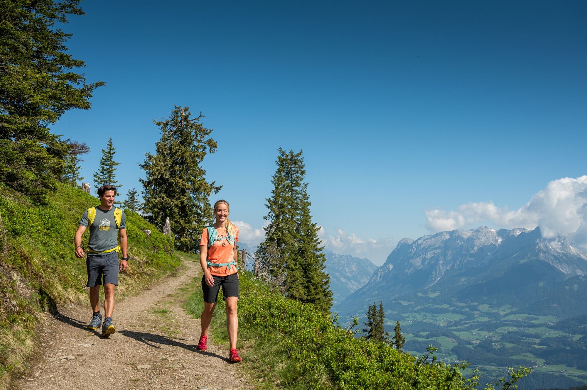
Drive by car along Öbristweg to the last bend (parking). From there, branch off to the right and follow path no. 453 past the Lackenkapelle, over the Ginauer Sattel to the summit of the Hochgründeck.
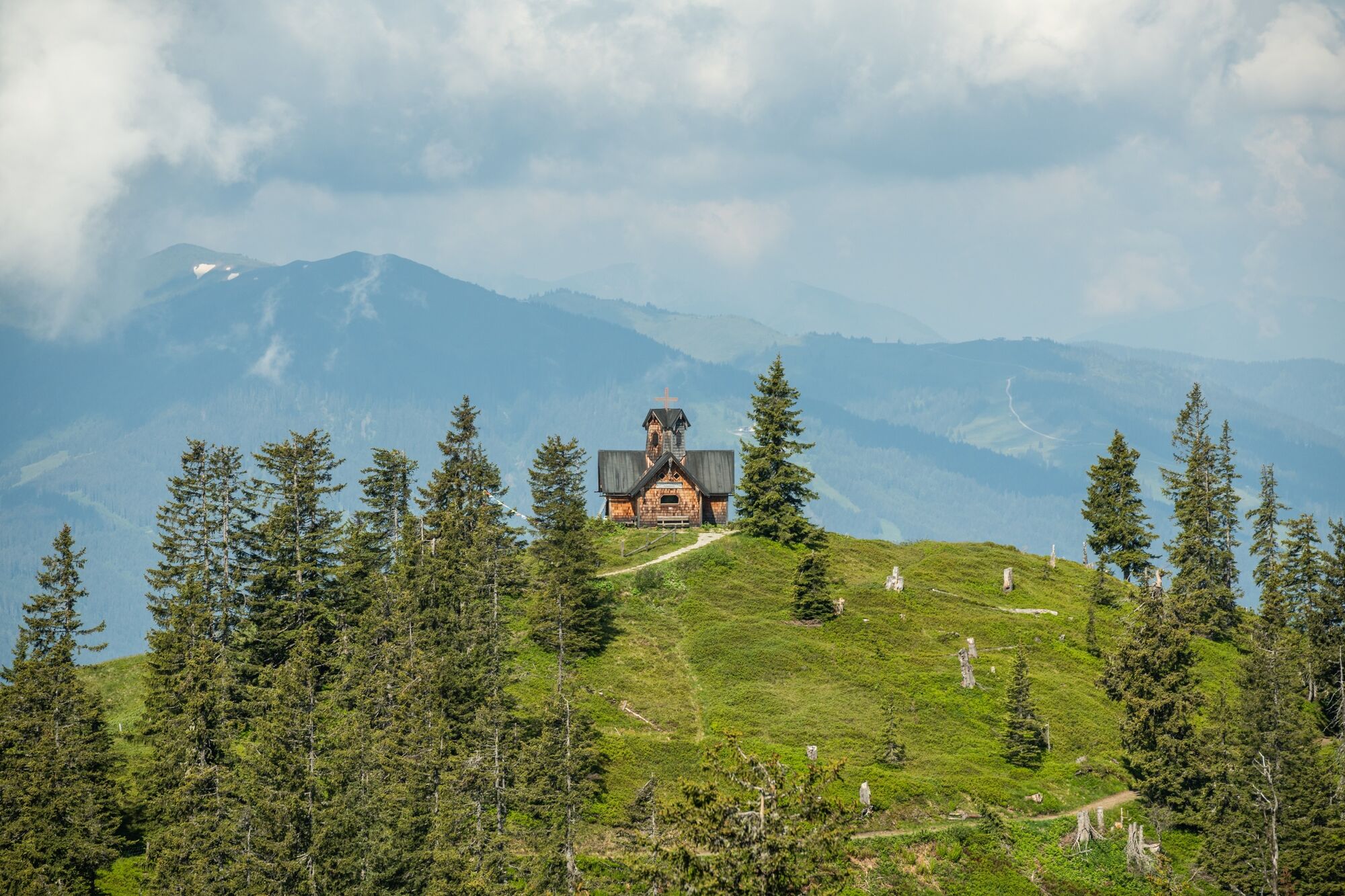
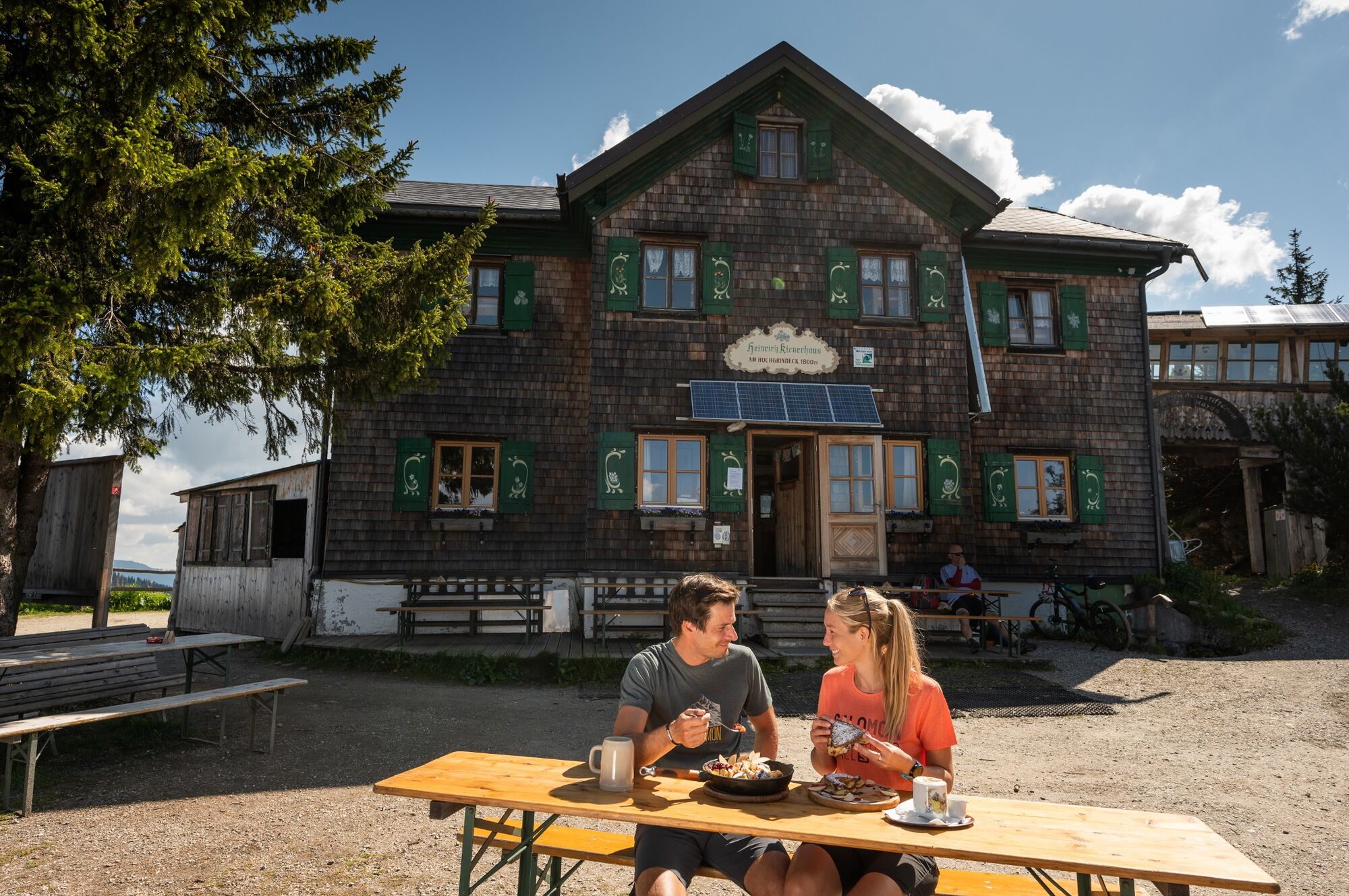
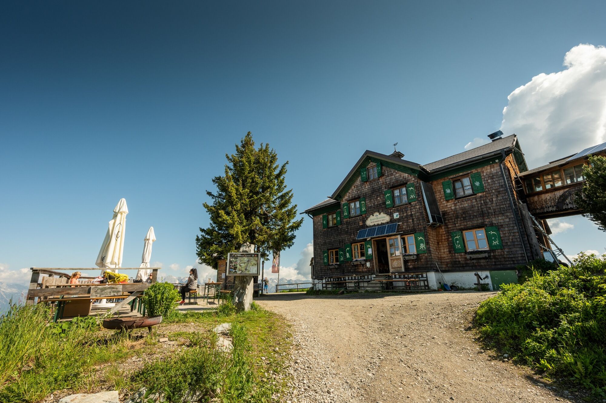
On the way back it is definitely worth looking past the St. Vinzenz Friedenskirche and stopping for a cozy snack with a fantastic view at the Heinrich-Kiener-Haus.
- Directions
-
Drive by car along Öbristweg to the last bend (parking). From there, branch off to the right and follow forest path no. 453 to the Lackenkapelle. Now it goes through the gate on the right up the gravel path (continue No. 453), the last section over a forest road, to the Ginau saddle. Now follow the path (partly a little steep) to the summit of the Hochgründeck.
If you want to avoid the steep ascent, go from the Ginauer Sattel on the forest road (path no. 453a) to the left (approx. 30 min.) And then follow path no. 451 (St. Johanner-Weg) to the Heinrich-Kiener- House and from there to the summit.
On the way back it is definitely worth looking past the St. Vinzenz Friedenskirche and stopping for a cozy snack with a fantastic view at the Heinrich-Kiener-Haus. From Heinrich-Kiener, follow path no. 451 in the descent and then turn right onto the forest road path no. 453a. Follow this until you come back to the original ascent path.
- Highest point
- 1,820 m
- Endpoint
-
Hochgründeck
- Height profile
-

- Equipment
-
solid footwear
- Directions
-
By car via Öbristweg to the last bend (parking).
- Parking
-
By car via Öbristweg to the last bend (parking).


- Author
-
The tour Heinrich Kiener Haus/Hochgründeck 1827m (453) is used by outdooractive.com provided.