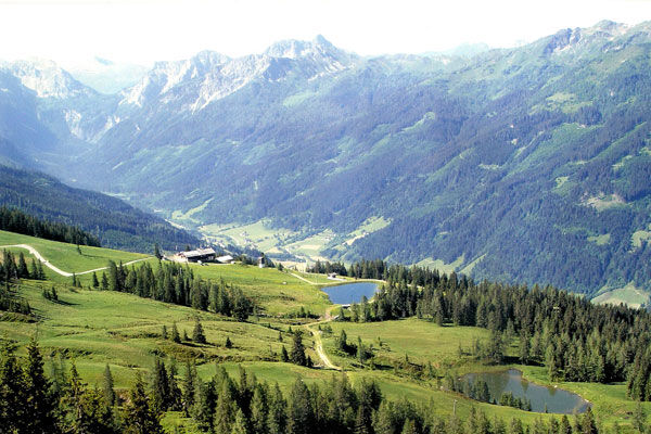
© Wagrain-Kleinarl Tourismus - Erwin Trampitsch

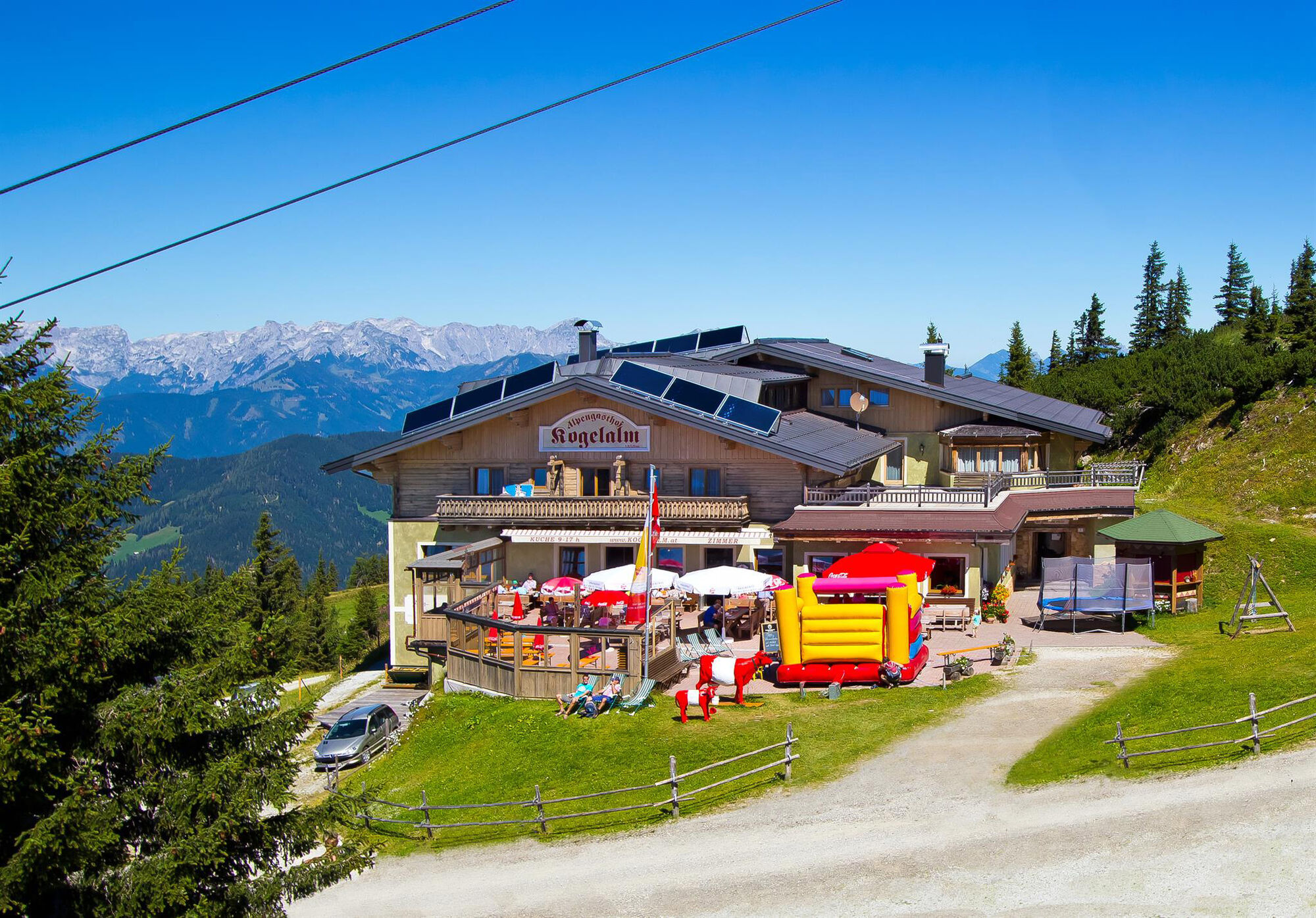
© Wagrain-Kleinarl Tourismus - Agnes Moser

© Wagrain-Kleinarl Tourismus - Agnes Moser


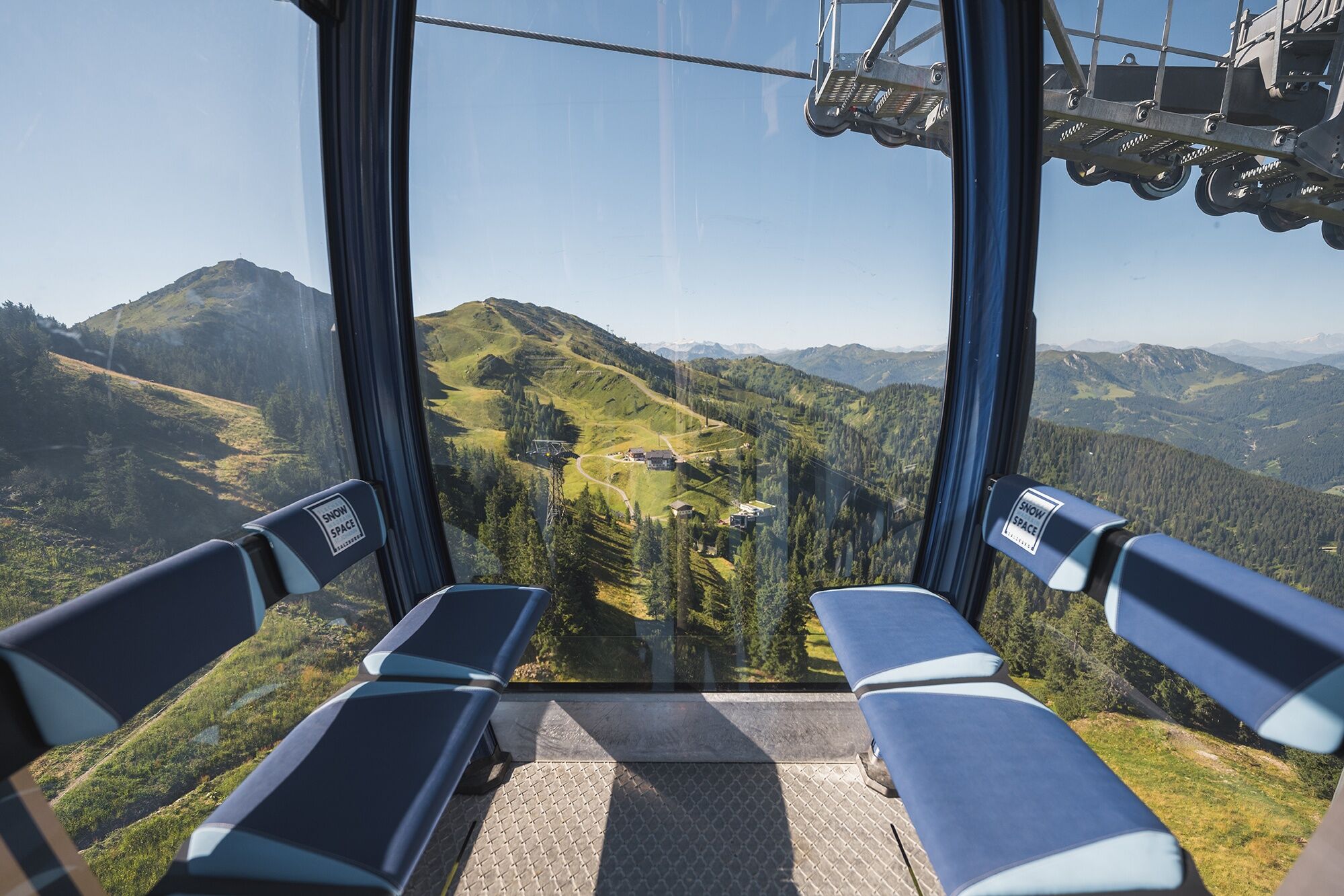
© Snow Space Salzburg/Christian Schartner
- Brief description
-
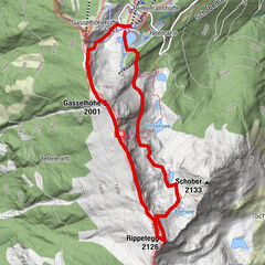
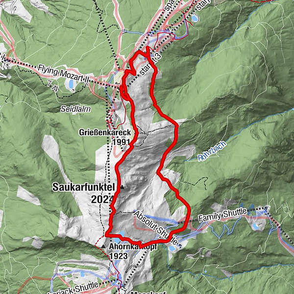
Promising high-altitude hike (with gondola ascent) over the Grießenkareck, Saukarkopf to Frauenalm and Jandlalm and back to the gondola mountain station.
- Difficulty
-
medium
- Rating
-
- Starting point
-
Wagrain, Flying Mozart - mountain station
- Route
-
Grießenkareck (1,991 m)0.9 kmSaukarfunktel (2,024 m)2.0 kmSaukarkopf (2,014 m)2.4 kmPowder Shuttle4.0 kmFrauenalm4.3 kmspacejet 39.6 kmstarjet 39.9 km
- Best season
-
JanFebMarAprMayJunJulAugSepOctNovDec
- Description
-
You take the Flying Mozart gondola to the mountain station. From here you take hiking trail no. 41, which leads over the Kriegerkreuz to the summit of Grießenkareck. Now follow the high path along the ridge (path no. 41), past the Saukarfunktel viewpoint and over the Saukarkopf to the Himmelleitbodenteich below the Ahornkarkopf. When you get here, turn right onto path no. 85 and descend to the Frauenalm.
The Frauenalm is exactly halfway through the round trip. It is a good idea to stop here for a hearty snack.
The way back starts from the Frauenalm via path no. 45 to the Grießenkaralmen. From the Jandlalm you climb back to the starting point and take the gondola back down into the valley.
- Highest point
- 1,982 m
- Endpoint
-
Wagrain, Flying Mozart - mountain station
- Height profile
-

- Equipment
-
solid footwear
- Directions
-
To Wagrain to the valley station of the Flying Mozart gondola.
- Public transportation
-
With the hiking bus to the Flying Mozart valley station in Wagrain.
- Parking
-
Parking lot at the Flying Mozart valley station.


-

-
AuthorThe tour High-altitude hike: Grießenkareck - Frauenalm - Jandlalm is used by outdooractive.com provided.
GPS Downloads


General info
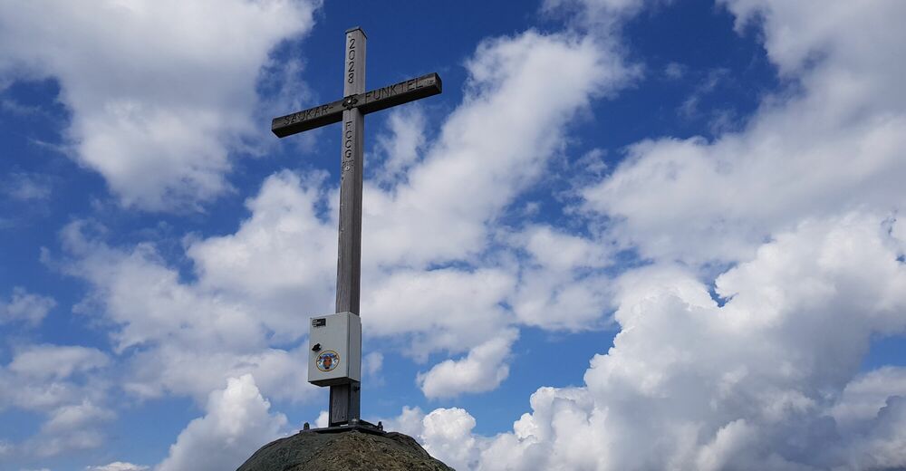
A lot of view
Other tours in the regions