


- Brief description
-
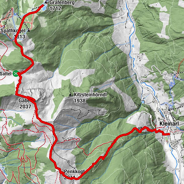
Panoramic high-altitude hike (with gondola ascent) from the Grafenberg mountain station over the summit of the Gabel and the Penkkopf, to the Kleinarler Hütte and on to Kleinarl.
- Difficulty
-
medium
- Rating
-
- Starting point
-
Grafenbergbahn Wagrain mountain station
- Route
-
Gabel (2,037 m)4.1 kmPenkkopf (2,011 m)7.1 kmKleinarler Hütte8.3 kmKleinarl11.7 km
- Best season
-
JanFebMarAprMayJunJulAugSepOctNovDec
- Description
-
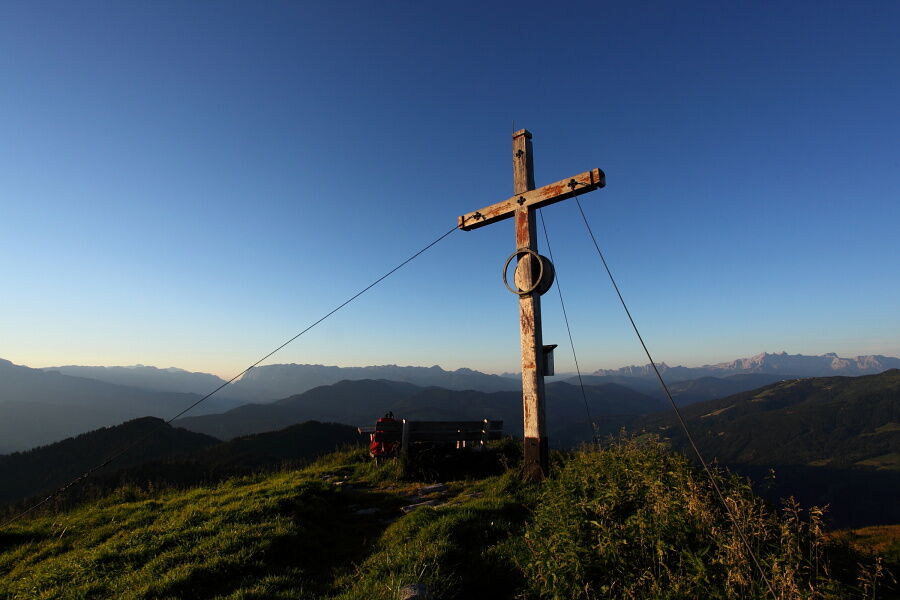
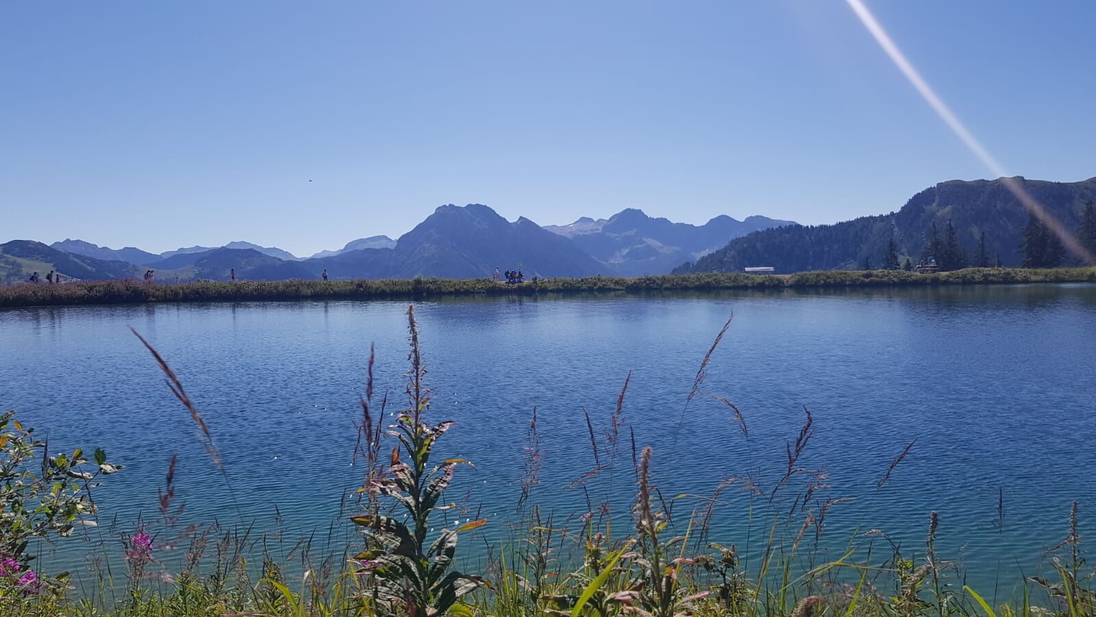
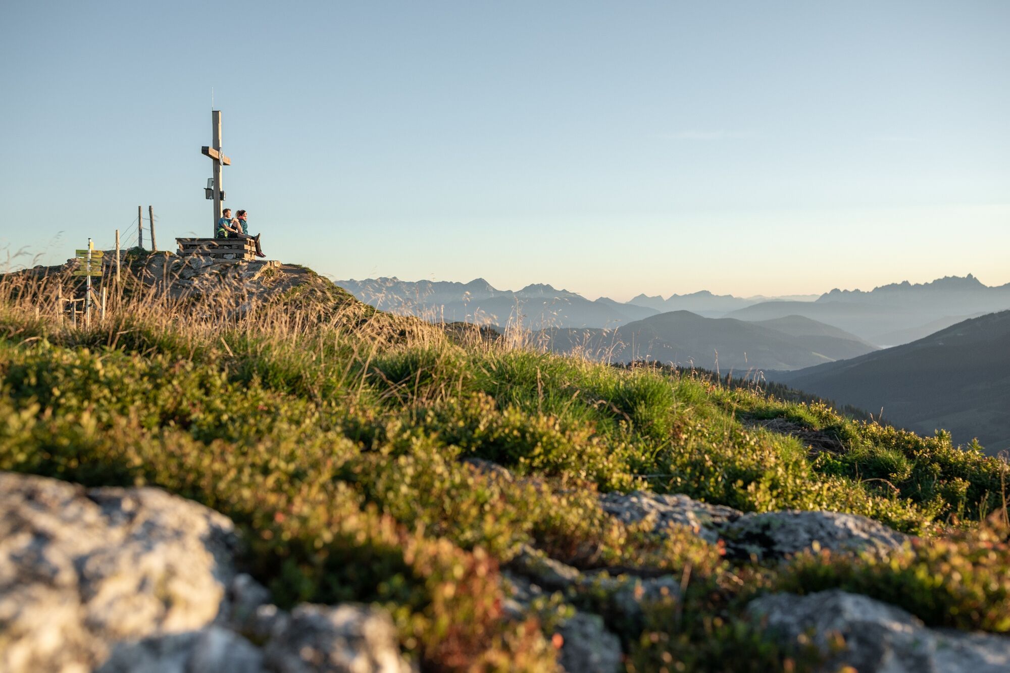
From the Grafenberg mountain station, you first descend to the Hachaualm and then follow hiking trails No. 713 and 712 to the Auhofalm (not managed). From here there is a relatively steep path to the summit of the "Gabel". Surefootedness and a head for heights are necessary here. You will be rewarded at the summit with a fantastic 360 ° alpine panorama.
From the summit of the "Gabel", descend a few meters again to hiking trail no. 712 and follow it until you reach the crotch to the Penkkopf. A simple path then leads from the Penkkopf to the Kleinarler Hütte.
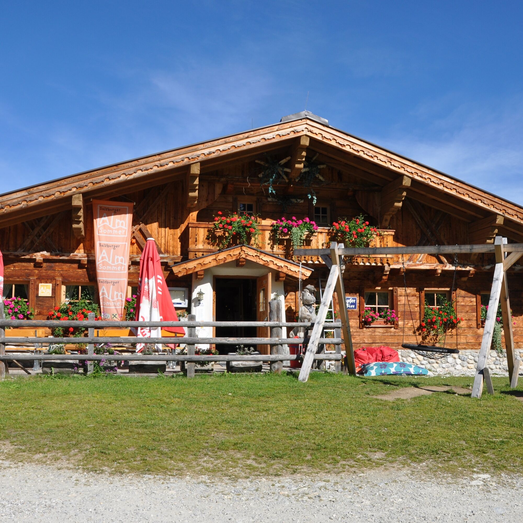
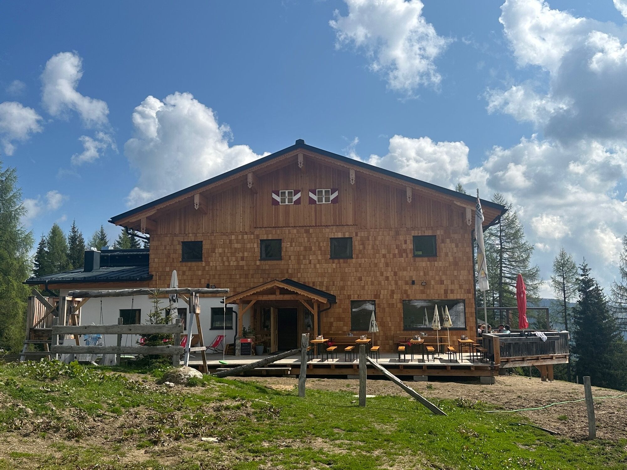
The hut is beautifully nestled between Penkkopf and Gründegg high above Kleinarl. The physical well-being is also taken care of ... From the cheese dumpling soup to the Brettljause to the Kaiserschmarren - with the popular hut classics, hikers are spoiled with culinary delights.
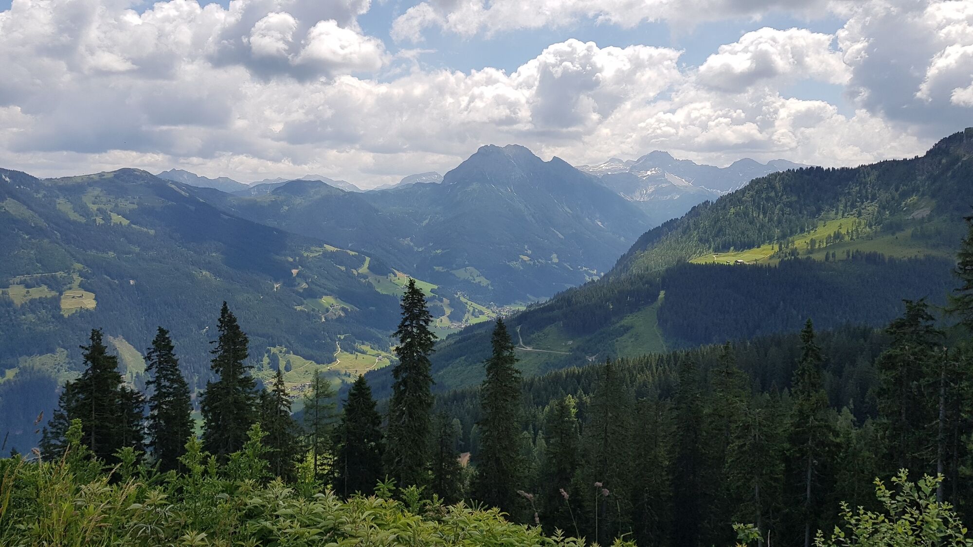
After a leisurely snack at the Kleinarler Hütte, you now follow hiking trail no. 712 over meadows and through light forest downhill to the center of Kleinarl, where the hiking bus stop is.
- Directions
-
From the Grafenberg mountain station you first descend to the Hachaualm, and then follow hiking trail no. 713 to the crossroads at the Sonntagskogel. Then turn left onto hiking trail no. 712 and follow it to the Auhofalm (not managed). From the Auhofalm, path no.712 leads steeply to the summit of the "Gabel". Surefootedness and a head for heights are necessary here. From the summit of the "Gabel", descend a few meters back to hiking trail no.712 (the crossing below the summit is secured with a steel cable) and follow it until you reach the crotch to the path (trail no.81) to Penkkopf. From the Penkkopf a simple path leads down to the Kleinarler Hütte.
From the Kleinarler Hütte, follow the hiking trail no.712 over meadows and downhill through the sparse forest to the Hirschleiten supply trail, which turns into Ployergasse and leads directly to the center of Kleinarl, where the hiking bus stop is.
- Highest point
- 2,017 m
- Endpoint
-
Kleinarl bus stop
- Height profile
-

- Equipment
-
solid footwear
- Tips
-
Only 350m from the Hirschleiten car park, at the end of the forest road, you will find the organic farm shop from the valley. Here you can buy various types of cheese, milk and sausage products for a snack during the hike or to take home. Please have the appropriate money ready.
- Directions
-
To Wagrain to the Grafenbergbahn.
- Public transportation
-
With the hiking bus to the Grafenbergbahn in Wagrain.
- Parking
-
Parking at the Grafenbergbahn.

- Author
-
The tour High-altitude hike: Grafenberg - Gabel - Penkkopf - Kleinarl is used by outdooractive.com provided.