© Tourismusverband St. Johann in Salzburg - Tourismusverband St. Johann

- Brief description
-
- Difficulty
-
medium
- Rating
-
- Starting point
-
power plant "plankenau"
- Route
-
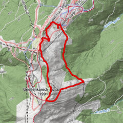
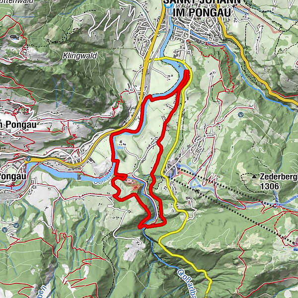
Sankt Johann im PongauOka-Bichl3.2 kmKlammfürst4.9 kmPlankenau6.8 kmSankt Johann im Pongau8.2 km
- Best season
-
JanFebMarAprMayJunJulAugSepOctNovDec
- Description
-
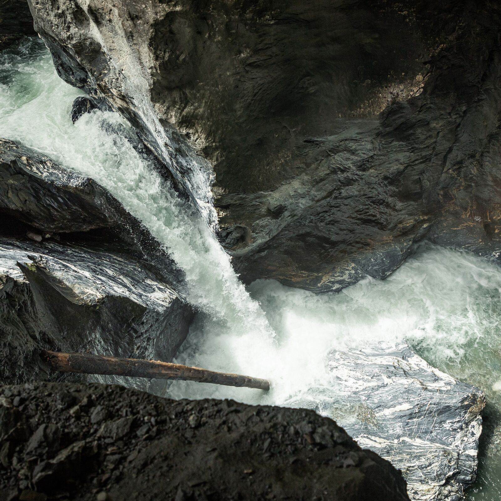
The gorge loop first leads upstream in the direction of Schwarzach to the Liechtensteinklamm junction. Then there are some ascents, partly on asphalt and gravel roads or forest paths, to the entrance of the Liechtensteinklamm. From there, the route leads through the high forest via the Plankenau district back to the starting point.
- Highest point
- 695 m
- Endpoint
-
power plant "plankenau"
- Height profile
-

- Author
-
The tour Gorge loop is used by outdooractive.com provided.
GPS Downloads


General info
Refreshment stop
Other tours in the regions