
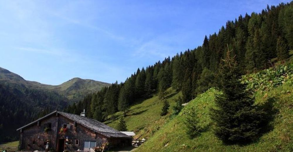
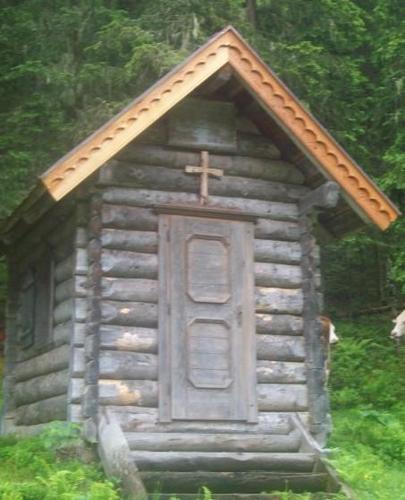
© Pongau

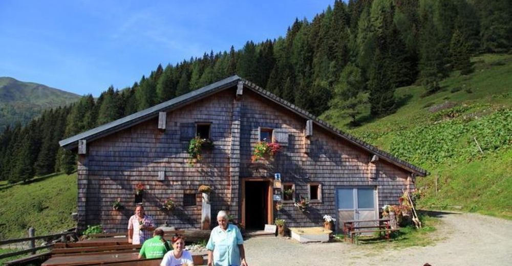
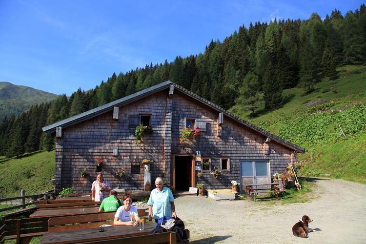
© Pongau
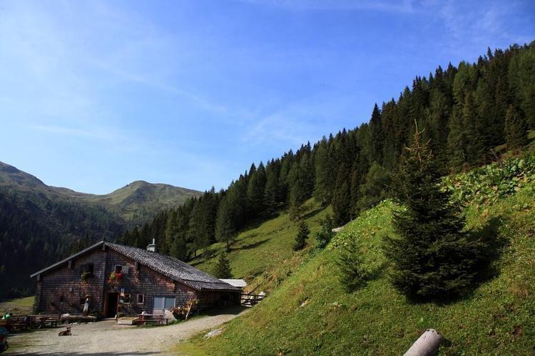
© Pongau
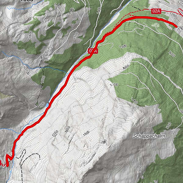
Tour data
7.38km
1,241
- 1,617m
351hm
353hm
02:30h
- Rating
-
- Route
-
Oberharbachalm3.6 km
- Highest point
- 1,617 m
- Height profile
-

- Author
-
PongauThe tour Harbachalm is used by outdooractive.com provided.
GPS Downloads


Other tours in the regions


