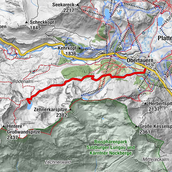
© Pongau
Tour data
4.34km
1,761
- 1,974m
275hm
86hm
02:00h
- Rating
-
- Route
-
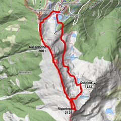
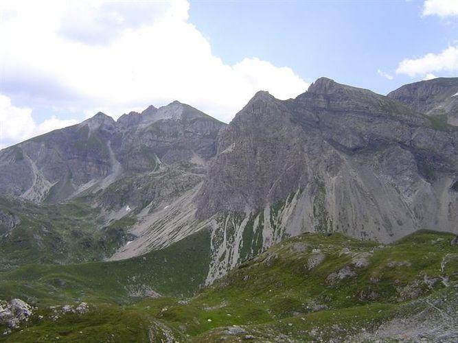
Obertauern
- Highest point
- 1,974 m
- Height profile
-

- Author
-
PongauThe tour Obertauern - Wildsee is used by outdooractive.com provided.
GPS Downloads


Other tours in the regions
-
Katschberg Lieser-Maltatal
2552
-
Obertauern
1645
-
Untertauern
506