© Pongau
Tour data
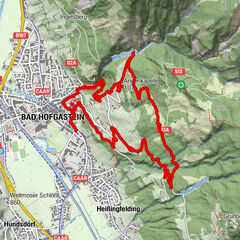
6.3km
1,261
- 2,369m
46hm
1,126hm
03:00h

- Rating
-
- Route
-
Tischkogel (2,409 m)0.0 kmZitterauer Scharte (2,163 m)0.8 kmGipfelrestaurant Stubnerkogel1.6 km
- Highest point
- 2,369 m
- Height profile
-


- Author
-
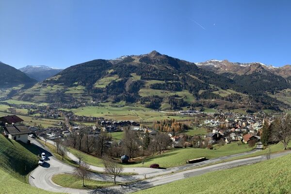
PongauThe tour Stubnerkogel zum Tischkogel is used by outdooractive.com provided.
GPS Downloads


Other tours in the regions