


- Brief description
-
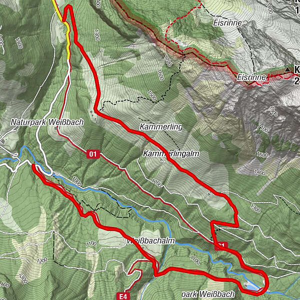
Via the Kammerlingalm (29) to the Nordalpenweg (401) via the Kaltwasserstube (small reservoir) and the Weißbachalm to the Kallbrunnalm turn-off (Schaustadl)
- Difficulty
-
medium
- Rating
-
- Starting point
-
Turnoff Kammerlingalm
- Route
-
Almausschank Feichtnkaser1.1 km
- Best season
-
JanFebMarAprMayJunJulAugSepOctNovDec
- Description
-
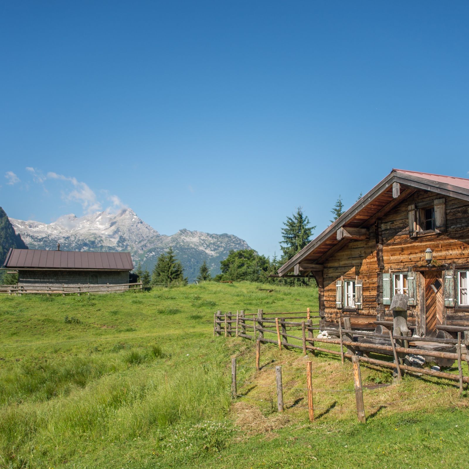
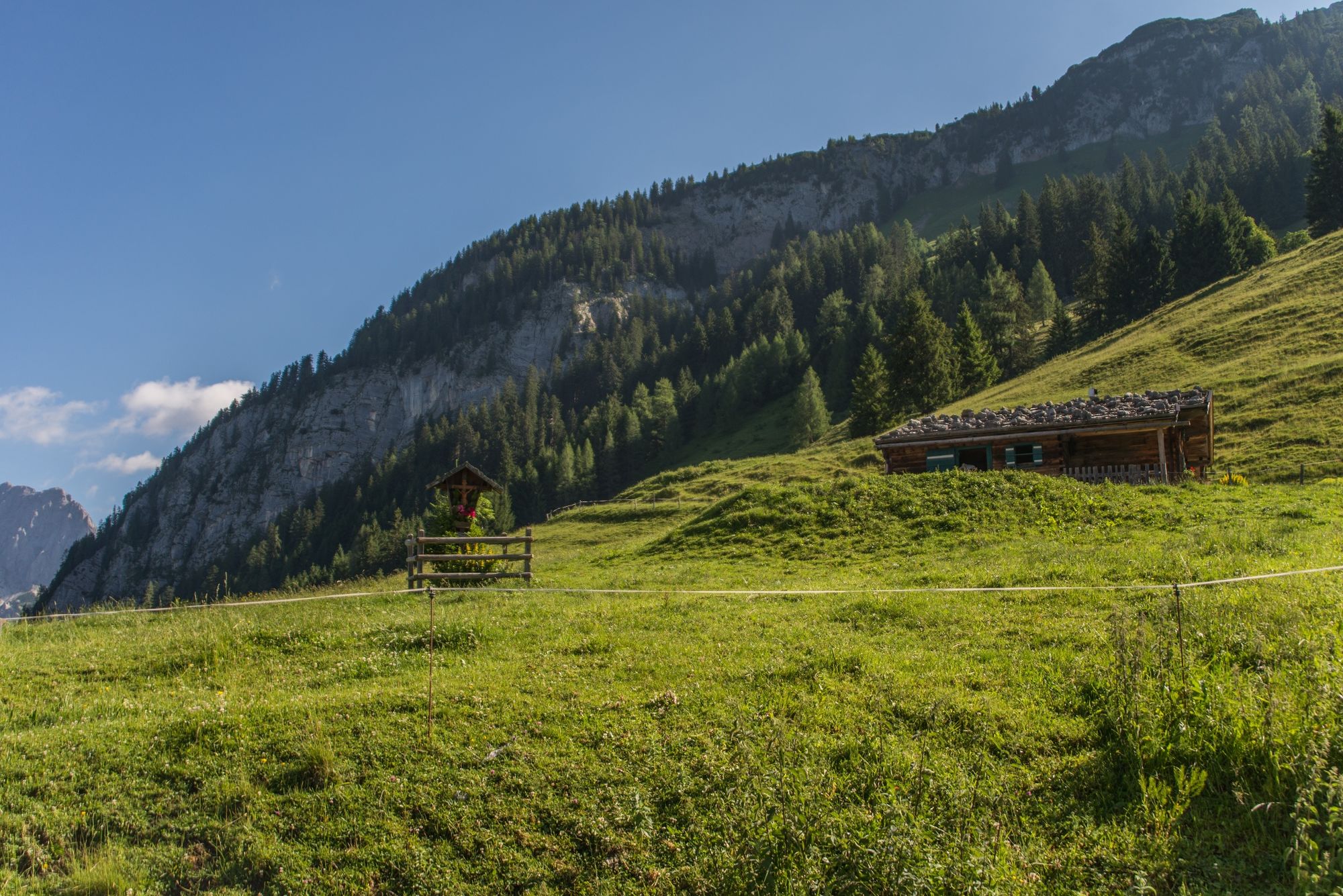
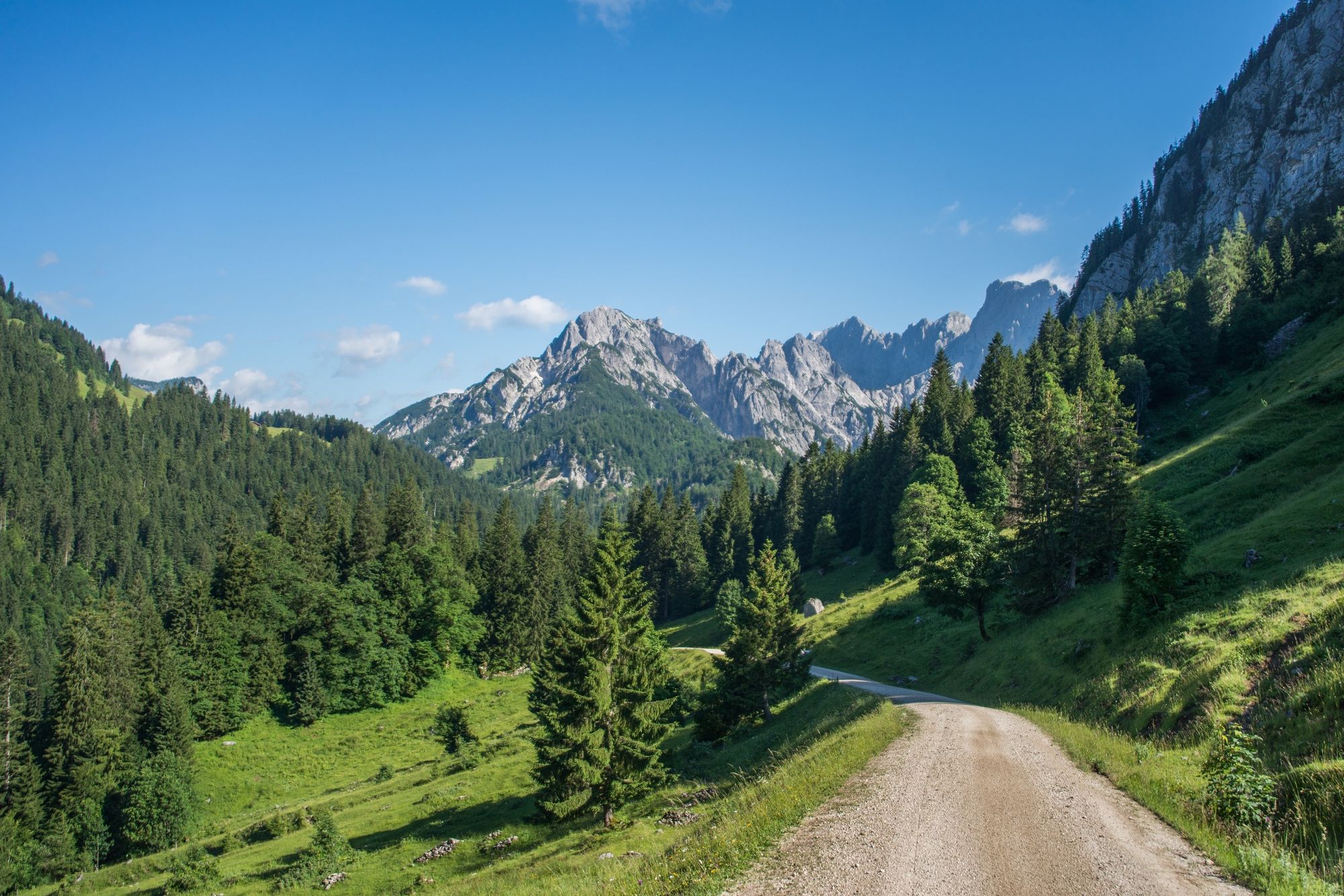
The hike from the Kammerlingalm via the Kaltwasserstube to the Weißbachalm and finally to the Kallbrunnalm in the Salzburger Saalachtal offers not only impressive nature experiences, but also cosy places to stop for refreshments.
- Directions
-
Turn-off Kammerlingalm car park - Kammerlingalm - Kaltwasserstube - Weißbachalm - Waltlmühlsäge car park
- Highest point
- 1,322 m
- Endpoint
-
Parkplatz Waltlmühlsäge
- Height profile
-

- Equipment
-
Hiking equipment
- Tips
-
Refreshments available at the Kammerlingalm and the Kallbrunnalm
- Directions
-
It is possible to reach the Waltsmühlsäge car park (end point of the hike) by car.
- Public transportation
- Parking
-
Waltlmühlsäge car park (subject to charge)


-

-
AuthorThe tour Kammerlingalm - Kaltwasserstube - Waltlmühlsäge is used by outdooractive.com provided.
GPS Downloads


General info
Refreshment stop
Other tours in the regions
-
Saalfelden - Leogang
1787
-
Weißbach bei Lofer
327


