


- Brief description
-
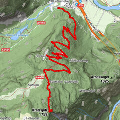
Panoramic family-circular hike from Maria Alm via the Brimbachalm to the Jufenalm.
- Difficulty
-
medium
- Rating
-
- Starting point
-
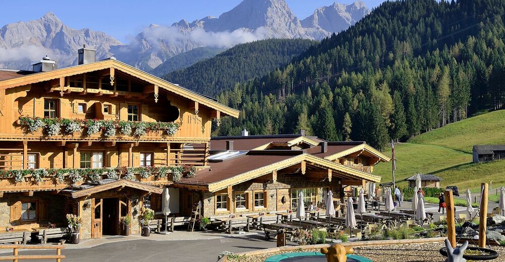
Gasthof Niederreiter
- Route
-
Wetterherrenkapelle0.3 kmJufenalm0.3 kmSimmerllift3.8 kmMaria Alm am Steinernen Meer3.8 kmGasthaus Waldhaus5.1 kmEnterwinkl5.1 kmBrimbachkögerl (1,310 m)9.3 km
- Best season
-
JanFebMarAprMayJunJulAugSepOctNovDec
- Description
-
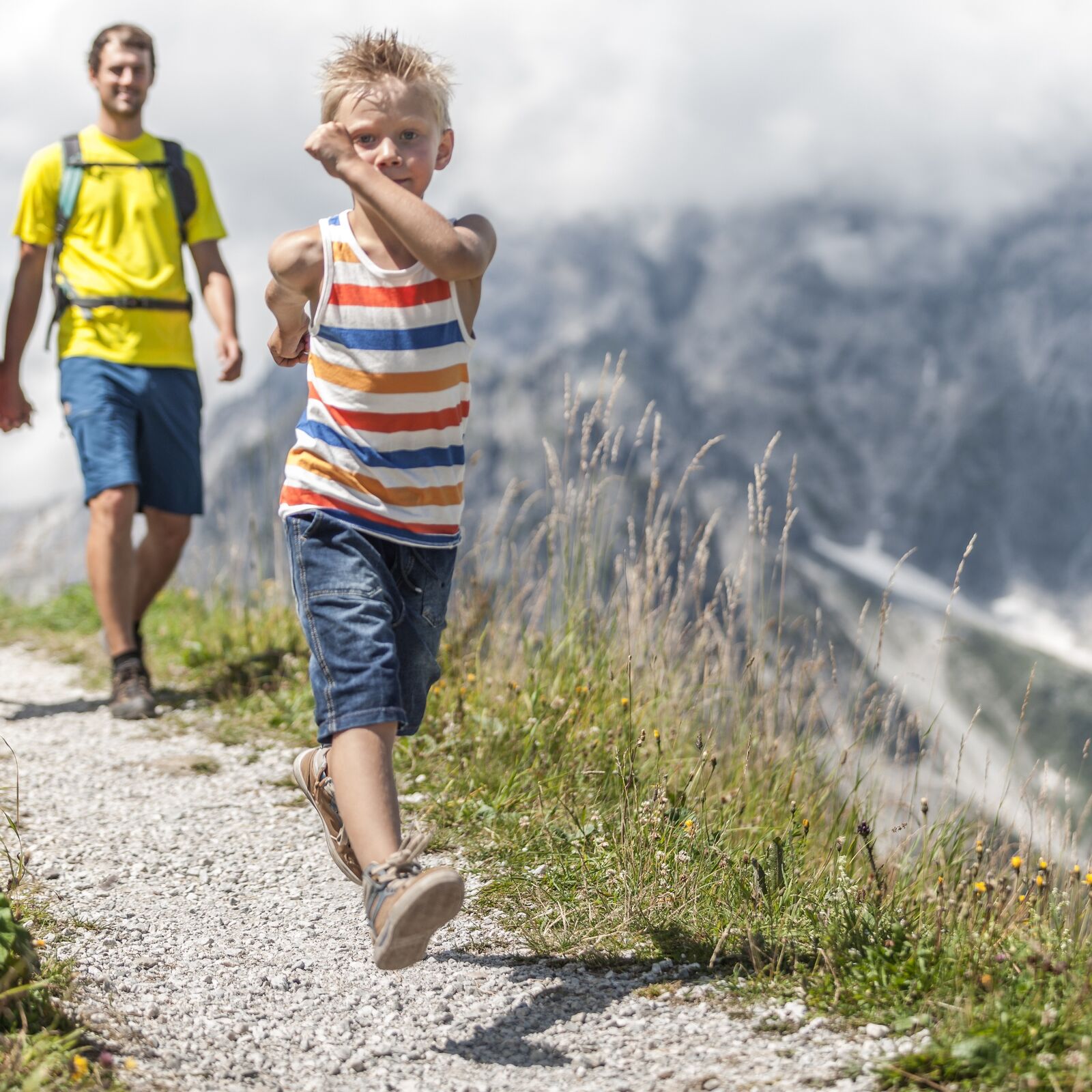
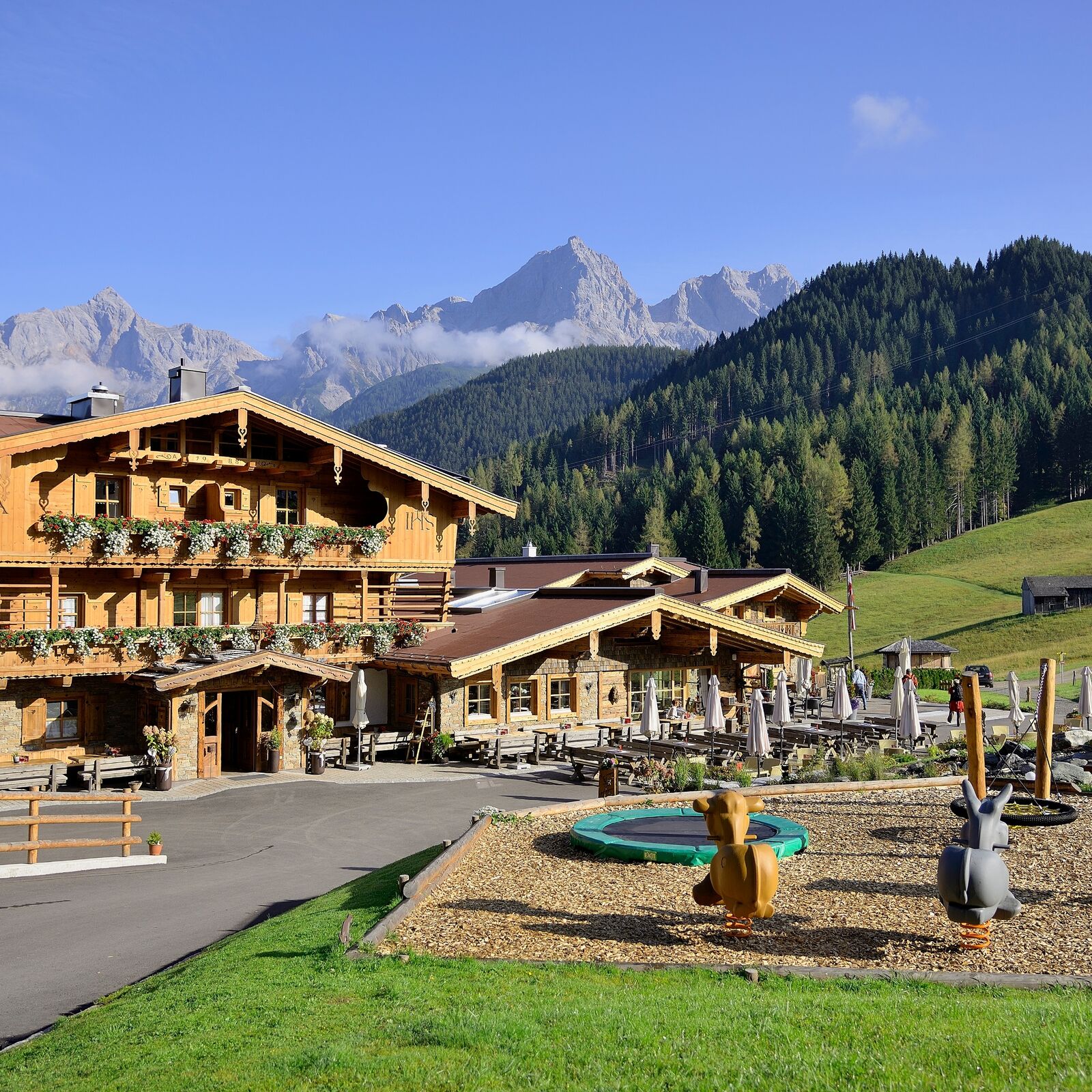
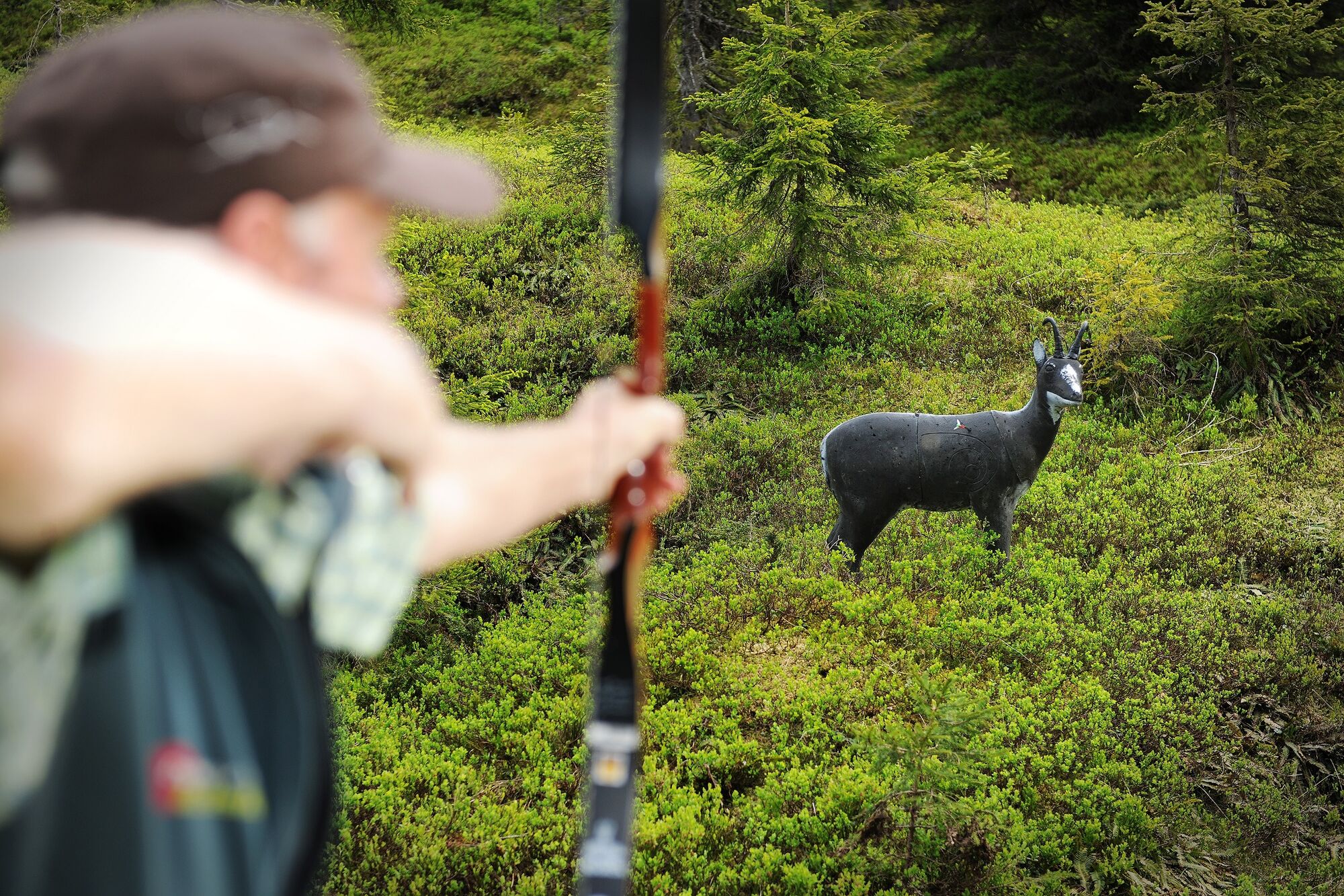
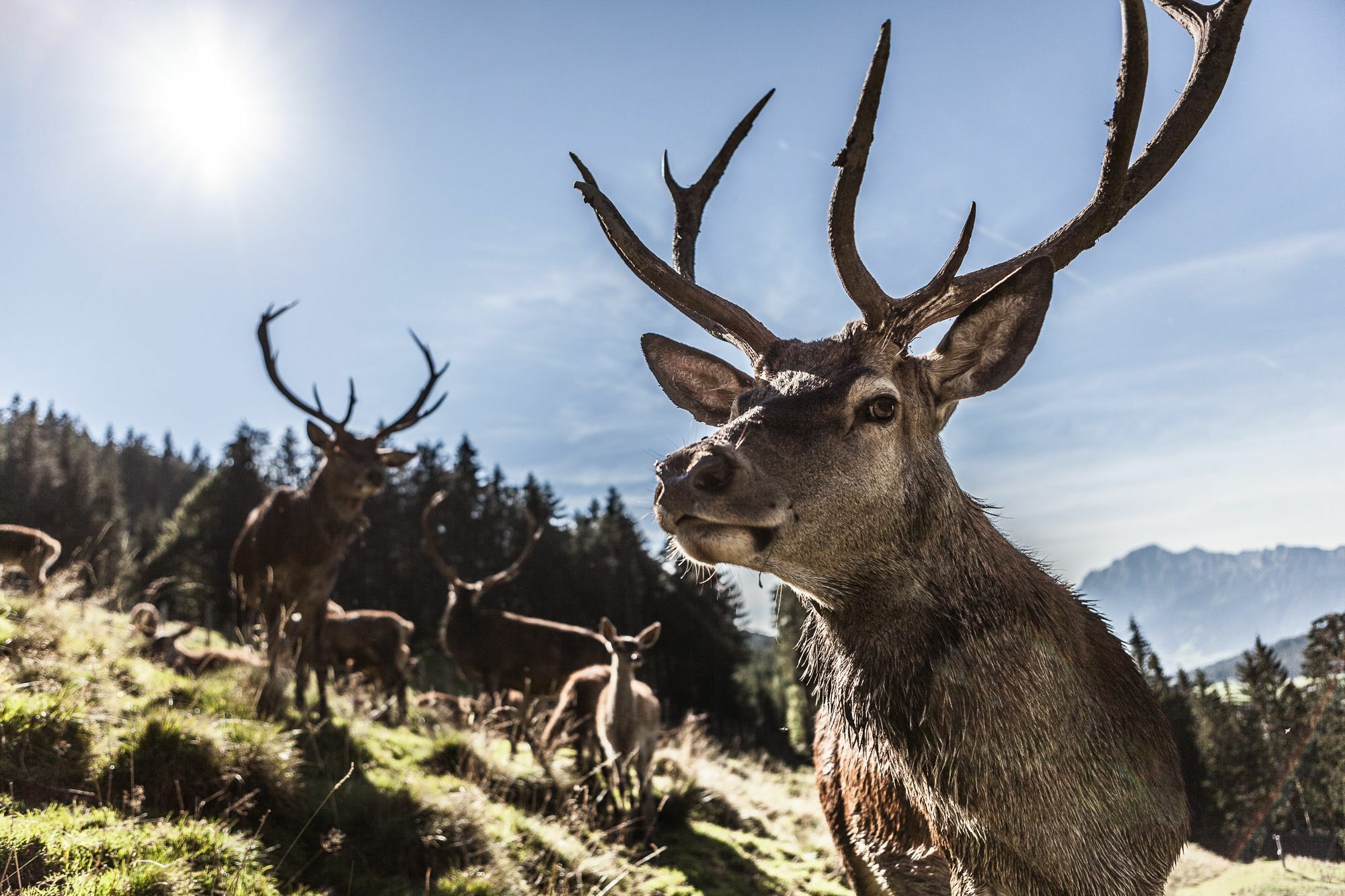
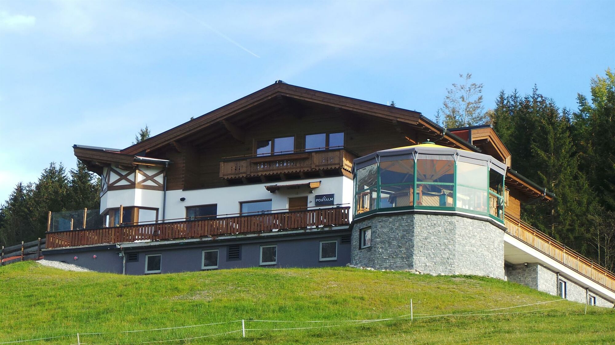
The tour starts in Maria Alm at the Gasthof Niederreiter and initially follows the village road towards Rohrmoos, before continuing along a forest road shortly after the Gasthof Waldhaus and then along beautiful forest paths via the Brimbachalm to the Jufenalm (3D bow course, game enclosure, children's playground). After a leisurely rest at the Jufenalm, you will return to Maria Alm via the Postalm, from where you will return directly to your starting point.
- Directions
-
From Hotel Gasthof Niederreiter via trail no. 401A and trail no. 23 along the Krallerbach stream. After approx. 30 minutes, turn right via trail no. 427 to the Brimbachalm - continue via trail no. 25a to the Jufenalm (game enclosure, archery course, children's playground). Walking time approx. 1 ¾ hours. Return to Maria Alm via trail no. 26 to the Postalm, no. 26a (forest adventure trail) or no. 401A (Natrunhöhe) to the Natrun. Descent from here also possible with the Natrun cable car.
Refreshment stops: Gasthof Jufen, Postalm; vantage point: Jufensattel with chapel. - Highest point
- 1,303 m
- Endpoint
-
Gasthof Niederreiter
- Height profile
-

- Equipment
-
Sturdy, ankle-high footwear
Walking sticks
Headgear
Sun protection
Sunglasses
Rain protection
Drinks and a snack
Necessary medication
First aid kit
Hiking map - Safety instructions
-
Self-assessment Check your physical fitness before every mountain tour and correctly assess your strength as well as that of your companions - especially those of your children! Surefootedness and a head for heights are often very important!
Planning and preparation Plan each intended mountain tour in detail beforehand. Hiking maps and guides as well as information from alpine associations and local experts such as mountain guides and mountain hut keepers can be helpful.
Equipment On the mountain, you will need appropriate equipment and clothing, especially sturdy, high shoes with good grip soles. Weather and cold protection are essential, as the weather can often change unexpectedly.
Weather forecasts Take note of the current weather conditions at: www.zamg.at
Together Follow the 10 rulesfor the correct handling of grazing animals and do not leave any waste in nature!
Do not kick stones Do not kick stones as this can seriously endanger other hikers. Marked places with a danger of falling rocks should be crossed as quickly as possible and with attention and caution.
Turn back in good time This is not a disgrace, but a sign of common sense. It becomes necessary when the weather changes, fog rolls in, and also when the path is too difficult or not in good condition.Emergency numbers: Alpine emergency call: 140
International emergency call: 122 - Additional information
- Directions
-
Coming from Salzburg: Take the A10 motorway to the Bischofshofen exit, then take the B311 towards Bischofshofen. Follow the Hochkönig Bundesstraße/B164 to Maria Alm.
Coming from Innsbruck/ Kufstein: Take the Loferer Straße/B178 in the direction of St. Johann i.T., then follow the Hochkönig Bundesstraße/B164 via Saalfelden to Maria Alm.
A valid vignette is required to use the Austrian motorway and motorway network. It is also compulsory to carry a first-aid kit, warning triangle and high-visibility waistcoat. Further information can be found under Asfinag. - Public transportation
- Parking
-
Free parking at the beginning of the village and in the centre of Maria Alm

- Author
-
The tour Circular hike Brimbachalm-Jufensattel is used by outdooractive.com provided.