© Wagrain-Kleinarl Tourismus - Agnes Moser

- Brief description
-
Easy hike from Wagrain, via Moadörfl up to Niederbergsee and the Edelweissalm. It goes back over the larch forest path to Wagrain.
- Difficulty
-
medium
- Rating
-
- Starting point
-
Wagrain center
- Route
-
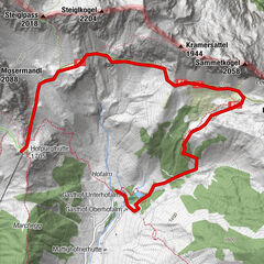
MarktFilalkirche Hl. Franziskus („Marktkirche“)Burgberg (881 m)0.2 kmWagrain0.5 kmHof1.2 kmJosefskapelle3.7 kmEdelweißalm8.2 kmEgg11.0 kmWagrain11.6 kmBurgberg (881 m)12.1 kmFilalkirche Hl. Franziskus („Marktkirche“)12.3 kmMarkt12.3 km
- Best season
-
JanFebMarAprMayJunJulAugSepOctNovDec
- Description
-
First follow hiking trail no.2 from Wagrain to the village of Schwaighof. Then at the Josephskapelle climb a short path through the forest onto the forest road, path no.2a, and follow this until you come to hiking path no. 60 (fork just above the Rote Achter gondola station). Now follow path no. 60 uphill, past the Niederbergsee, to the Edelweissalm.
When you arrive at the Edelweissalm, you can still take a short lap around the Daarmoossee before stopping for an excellent snack at the Edelweiss Alm.
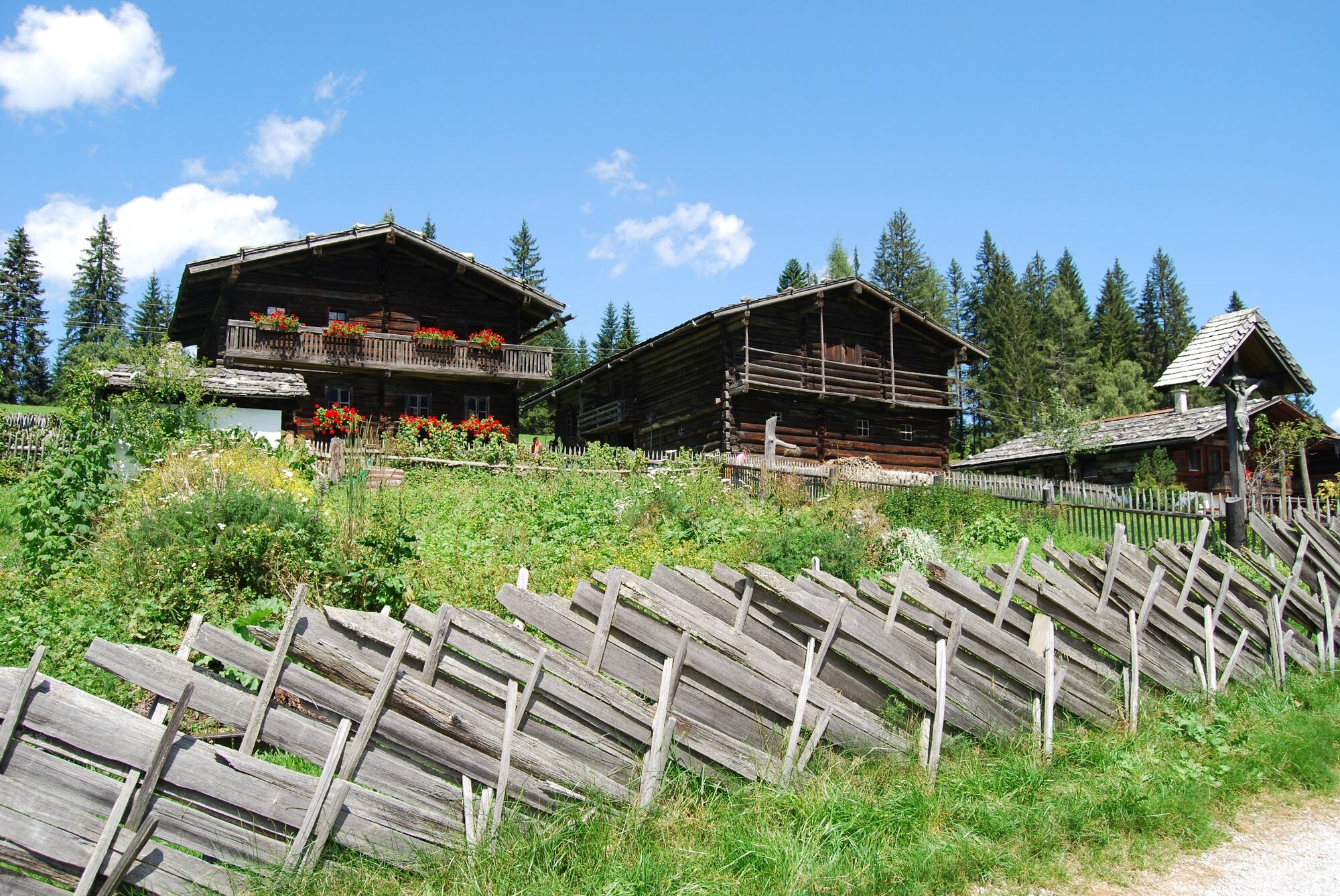
Before returning, you should definitely visit the farm museum. The way back (No. 61) goes a little further on the road behind the Hotel Edelweiss, before turning down into the Lärchenwaldweg. Above the Hühnerhof you meet again on Weberlandl Straße and follow it down to the main road.
- Highest point
- 1,183 m
- Endpoint
-
Wagrain center
- Height profile
-

- Tips
-
On the way back, it is a good idea to take fresh organic eggs straight from the Wagrain chicken farm.
- Parking
-
Community car park in Wagrain.

- Author
-
The tour Wagrain - Moadörfl - Edelweissalm - Lärchenwaldweg - Wagrain is used by outdooractive.com provided.
GPS Downloads


General info
Refreshment stop
Other tours in the regions