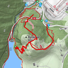

- Brief description
-
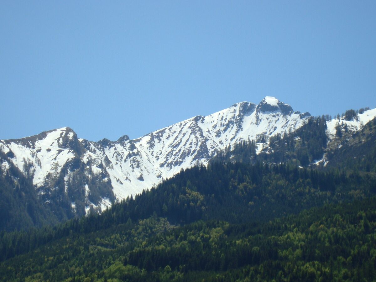
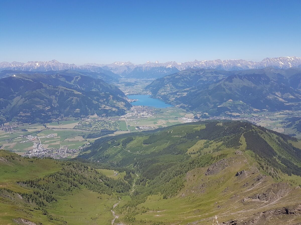
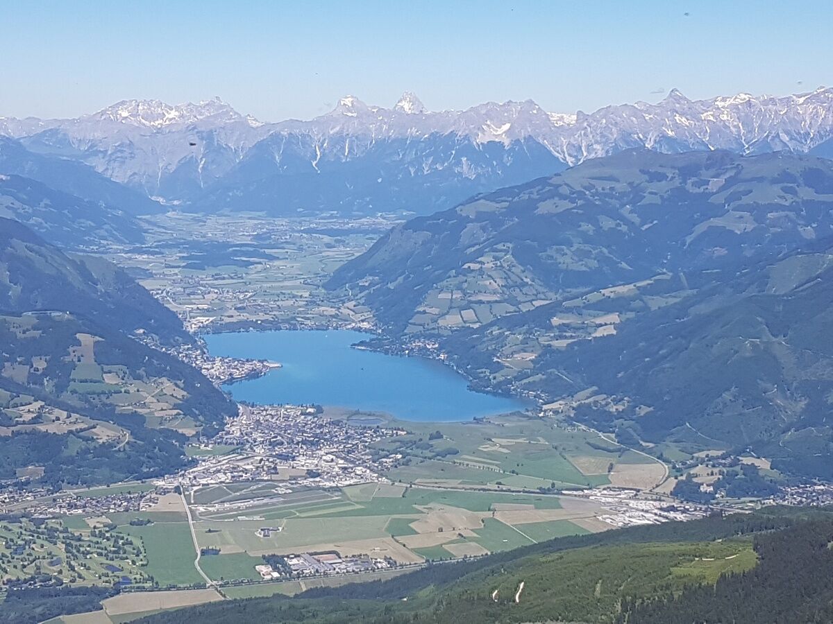
peak tour to the 2470 m high Imbachhorn. Circular walk in Kaprun or down over the Gleiwitzerhütte (overnight stay possible) to Fusch.
- Difficulty
-
medium
- Rating
-
- Starting point
-
Valley station Kitzsteinhorn
- Route
-
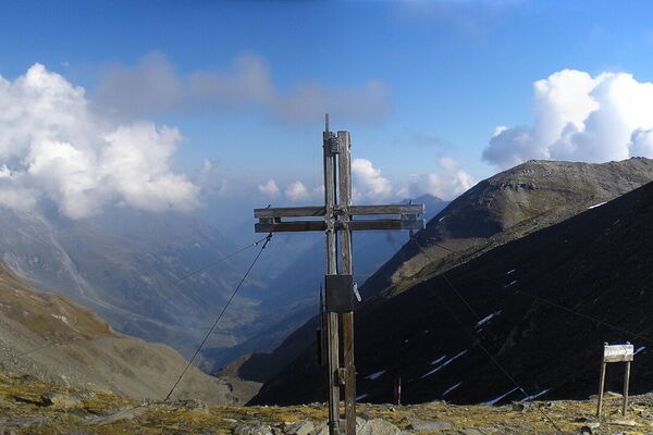
Brandlscharte (2,371 m)6.0 kmImbachhorn (2,470 m)6.8 kmGleiwitzer Hütte9.6 kmHirzbachwasserfälle16.3 kmFusch an der Großglocknerstraße17.6 km
- Best season
-
JanFebMarAprMayJunJulAugSepOctNovDec
- Description
-
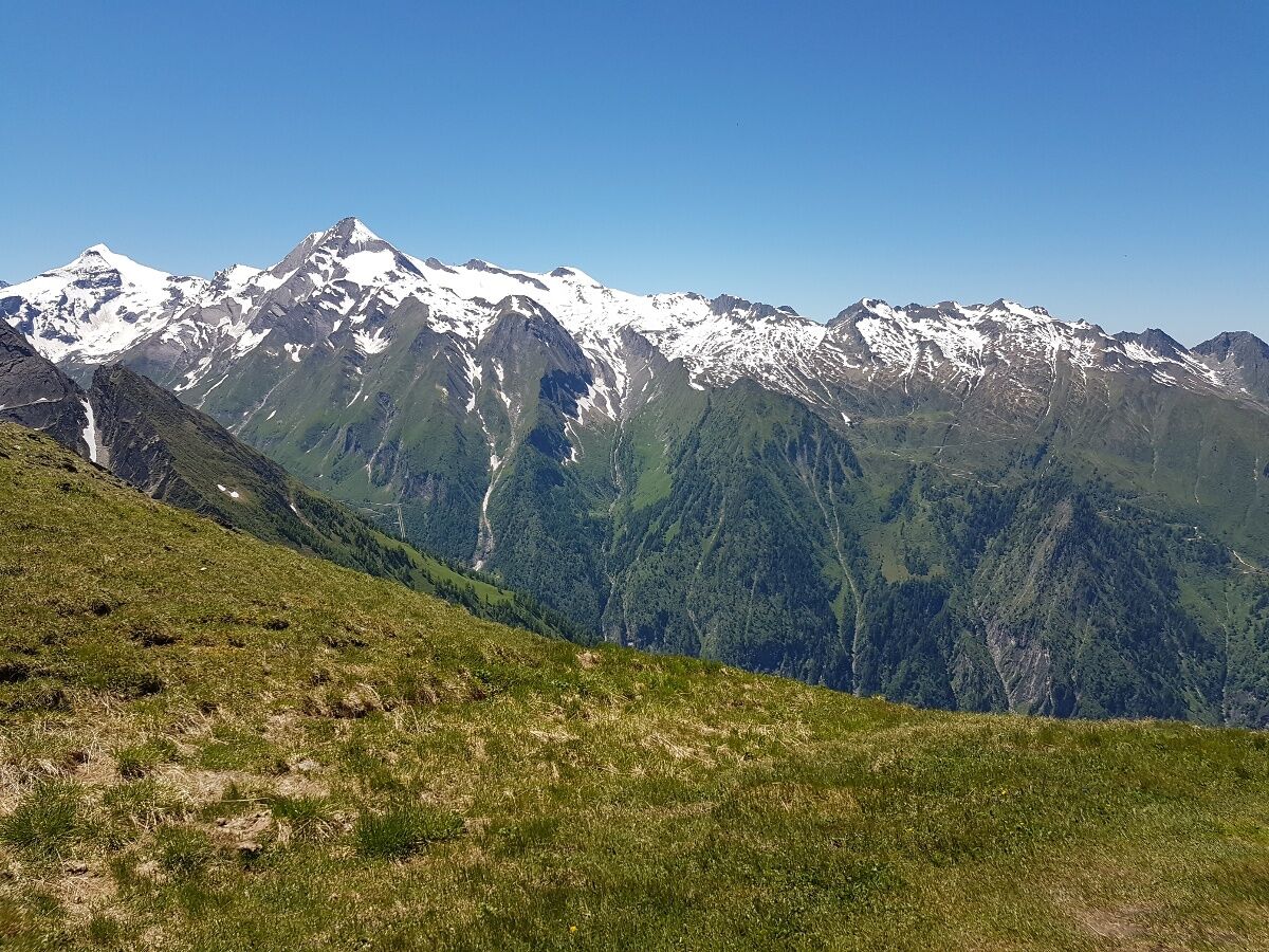
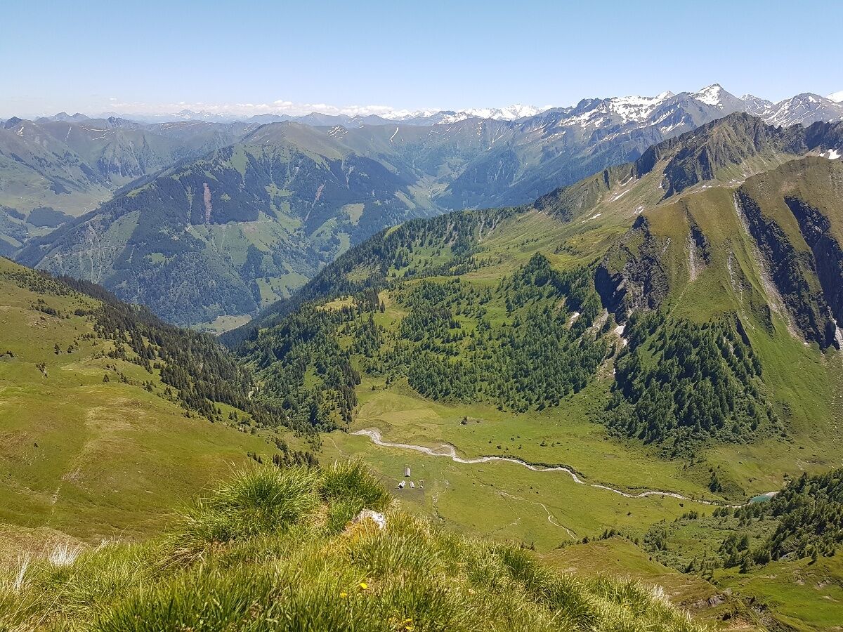
From the car park Valley station Kitzsteinhorn the steep track leads through the forest .Turn right to Rettenzink or left for the trail to Imbachhorn. From the Imbachhorn you can walk back on the same path or take path no. 723 (4h) to the center of Kaprun. The third alternative is via the Gleiwirtzerhütte down to the valley of Fusch on path no 725 (4h).
Overnight stay at Gleiwitzer hut is possible!
- Directions
-
From the car park Valley station Kitzsteinhorn the steep track leads through the forest to the unfarmed Harleitenalm and further across the Harleiten and the Brandlscharte. Here you have the possibility to decide if you want to turn right to Rettenzink or left for the trail to Imbachhorn. From the Imbachhorn you can walk back on the same path or take path no. 723 (4h) to the center of Kaprun. The third alternative is via the Gleiwirtzerhütte down to the valley of Fusch on path no 725 (4h).
Overnight stay at Gleiwitzer hut is possible!
- Highest point
- 2,405 m
- Endpoint
-
variabel
- Height profile
-

- Equipment
-
good walking shoes, protection against rain and sun.
Important: A bottle of water and some snack.
- Safety instructions
-
no possibility to use a cable car on this paths.
- Tips
-
sufficient fitness!
- Public transportation
-
From Fusch to Zell am See - Kaprun by bus (every 2h)

-

-
AuthorThe tour Imbachhorn is used by outdooractive.com provided.
GPS Downloads


General info
Refreshment stop
Flora
Fauna
A lot of view
Other tours in the regions