


- Brief description
-
The king tour in Flachau to the Faulkogel 2654m.
- Difficulty
-
difficult
- Rating
-
- Starting point
-
Flachauwinkl
- Route
-
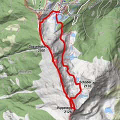
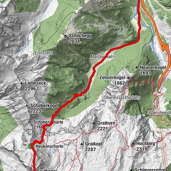
Hintere Marbachalm3.1 kmFaulkogel (2,654 m)7.9 kmHintere Marbachalm12.7 km
- Best season
-
JanFebMarAprMayJunJulAugSepOctNovDec
- Description
-
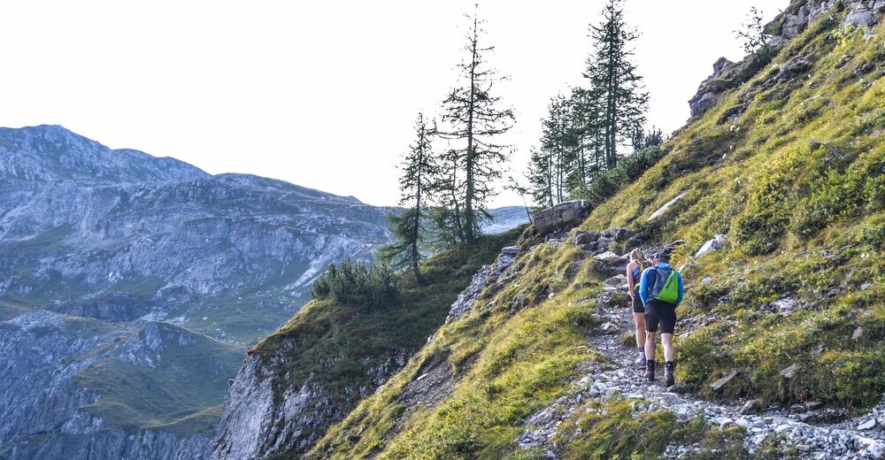
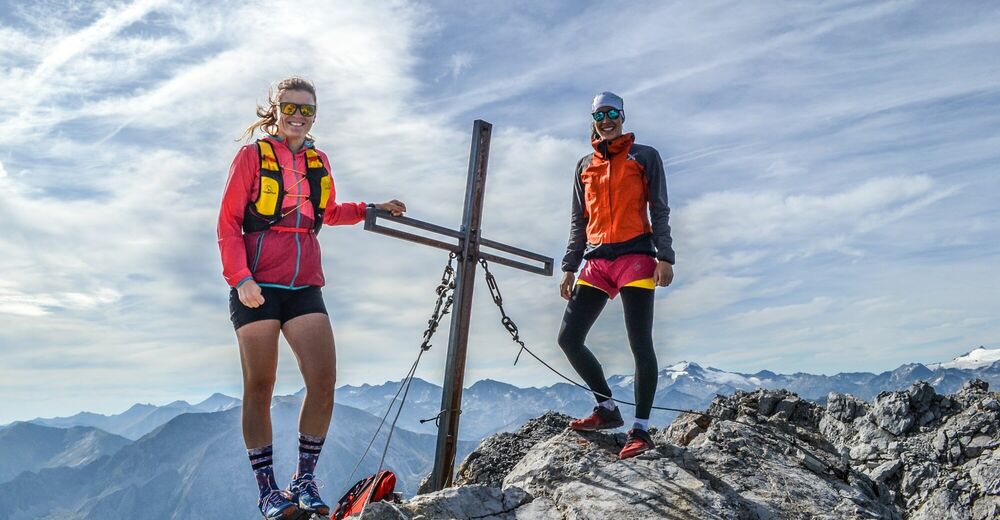
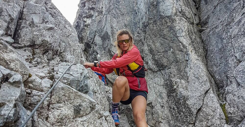
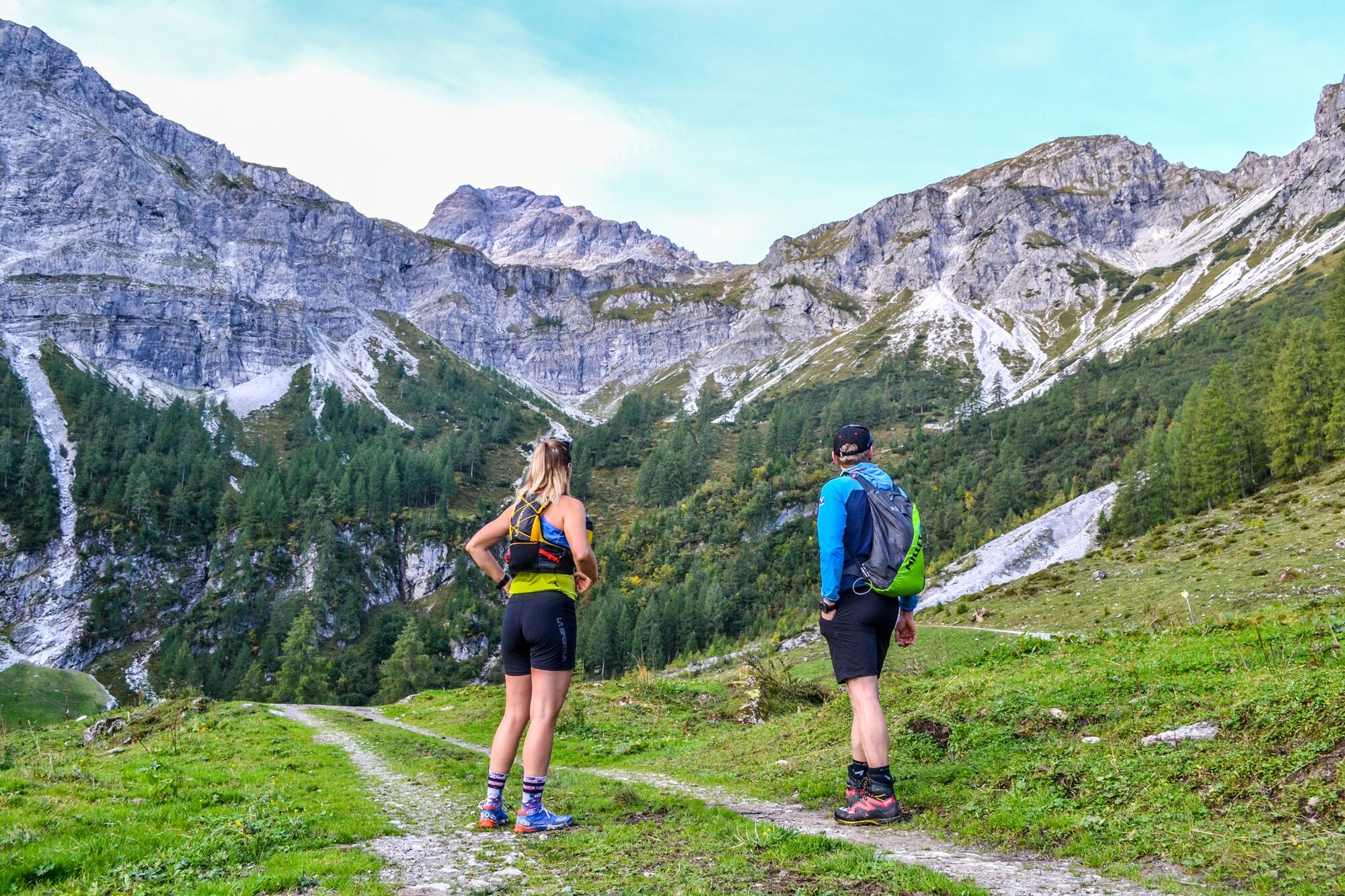
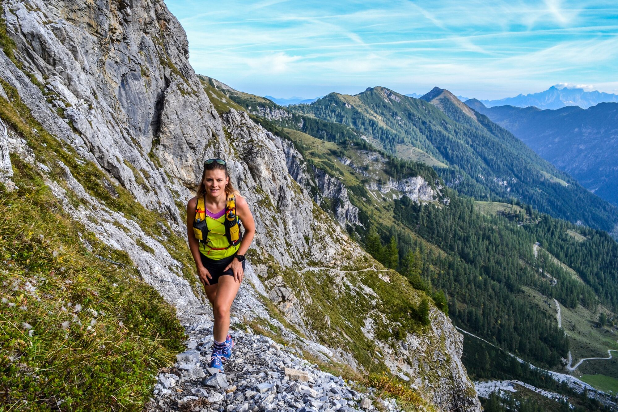
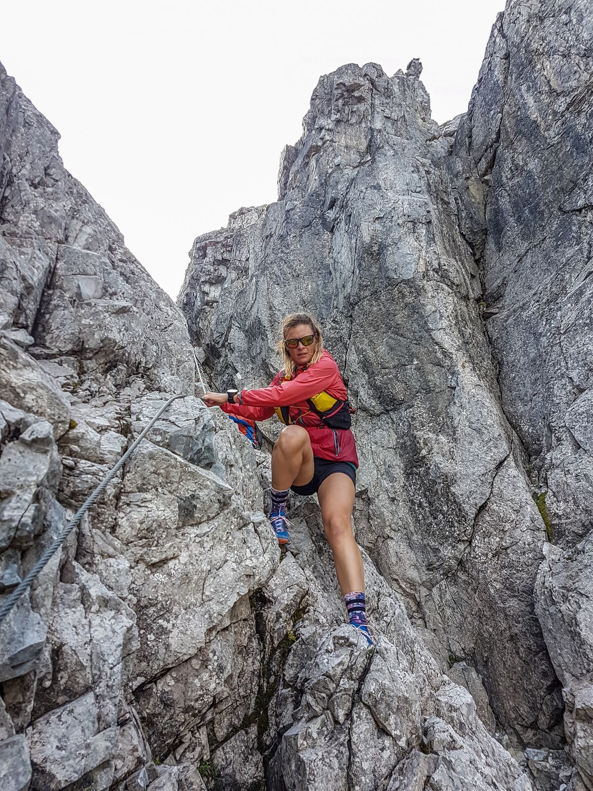
The Faulkogel with 2654m is one of the highest elevations of the lower Tauern. For experienced mountaineers this tour is a unique highlight. From the rear Marbachalm, after a short warm-up, the ascent begins. The intensive and demanding climb leads us over serpentine paths up to the Neukar. Rope protections are always on exposed places. A highlight is also the "Kamin", a climbing passage with rope protection - surefootedness and shingles are required! Arrived at the summit you can enjoy a picture-book view of the surrounding mountains. Pay attention to local conditions - for example, in July there is often still snow in the chimney, which makes it much more difficult.
- Directions
-
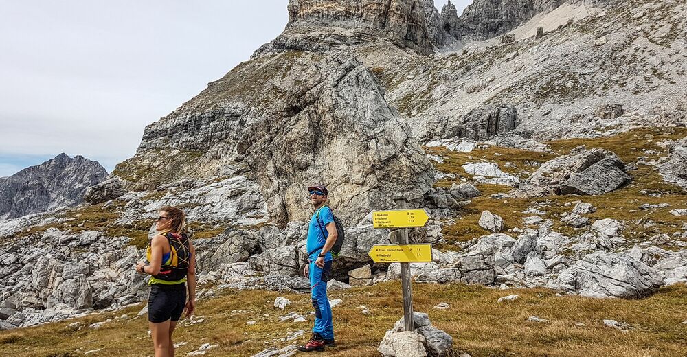
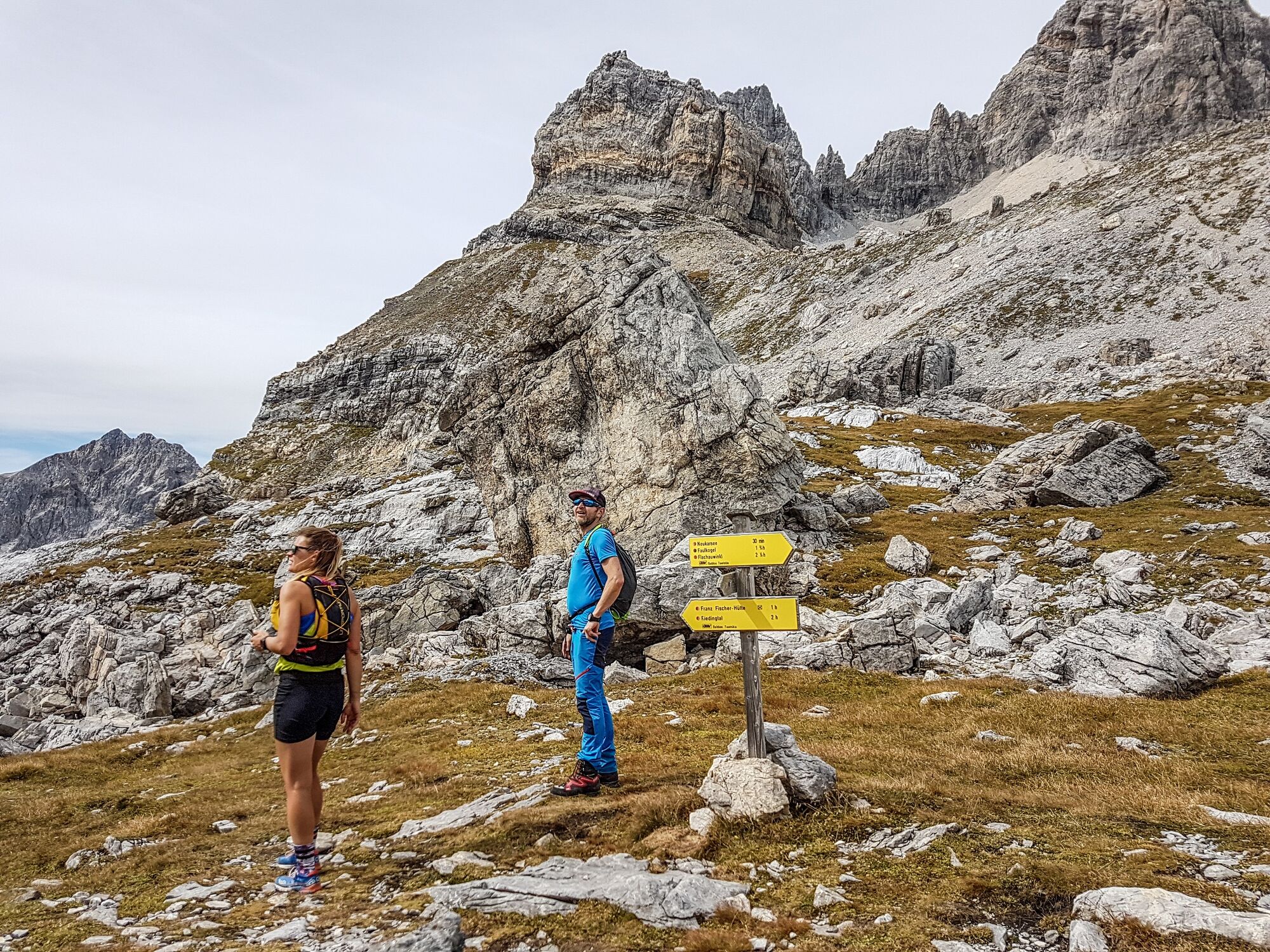
The tour starts at the parking lot in Flachauwinkl. From there we walk along the road for about 1 km to the Marbachalmen. After the rear Marbachalm we pass the Anichhofalm and enter the hiking trail. We follow the serpentines on the slope and reach the Neukar. From there we continue up to the ridge, where we finally reach the Faulkogel through the chimney. The way back is the same.
- Highest point
- 2,627 m
- Endpoint
-
Flachauwinkl
- Height profile
-

- Equipment
-
The basic equipment of a hiker includes:
o sturdy, high shoes with a grippy sole
o suitable mountain clothing
o enough to drink
o snacks for in-between
o sunglasses, sunscreen or rain protection if necessary
o mobile phone
o walking sticks
o First aid kit
- Safety instructions
-
Planning & preparation: Precise tour planning is recommended before every mountain tour. Information from local experts such as mountain guides or hut keepers as well as hiking maps will help you.
Check the weather forecast: A must-do before every hike. The weather can change unexpectedly in the mountains. Keep an eye on the current weather conditions at: www.zamg.ac.at.
Important tips:
o do not overestimate yourself
o manage your strength and endurance well
o assess your surefootedness and head for heights
o do not step on stones
o turn around in good time if the weather changes
Mountain rescue number: The telephone number 140 is the emergency number for alpine accidents in Austria.
- Tips
-
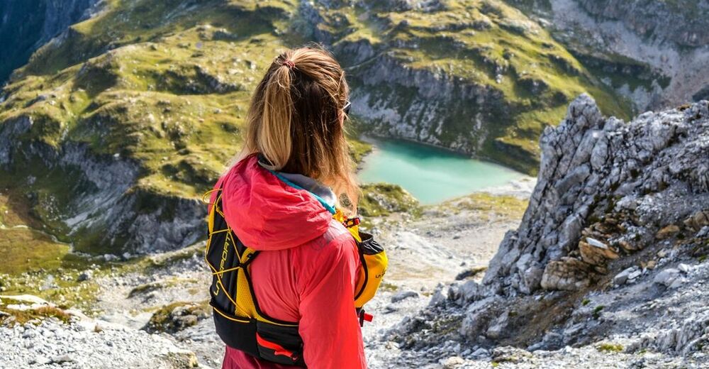
A cool down in the picturesque but ice-cold Neukarsee is certainly worth considering for hardy hikers.
- Additional information
- Directions
-
From Flachau via Flachauwinklstraße to Flachauwinkl to the Marbach car park, or via the Flachauwinkl motorway exit and then Flachauwinklstraße on to the Marbach car park.
- Public transportation
-
From June to September, the Sportweltbus is the ideal shuttle service for your hiking tours in the entire region (Flachau, Wagrain-Kleinarl, St. Johann-Alpendorf, Radstadt, Altenmarkt-Zauchensee, Eben, Filzmoos, Obertauern, Großarl & Hüttschlag).
With the Flachau Summer Card you can use the Sportweltbus for only Euro 1,00 per person and route. Children under 6 years travel free!
More information at: https://www.flachau.com/en/more/information/sportweltbus.html
- Parking
-
Parking facilities at the Marbach car park.


-

-
AuthorThe tour Faulkogel is used by outdooractive.com provided.