© Hotel Königgut - Christine Bauernhansl

© Hotel Königgut - Christine Bauernhansl

© Hotel Königgut - Christine Bauernhansl

© Hotel Königgut - Christine Bauernhansl

© Hotel Königgut - Christine Bauernhansl

© Hotel Königgut - Christine Bauernhansl

- Brief description
-
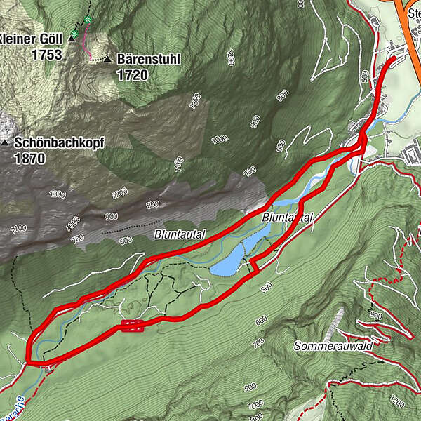
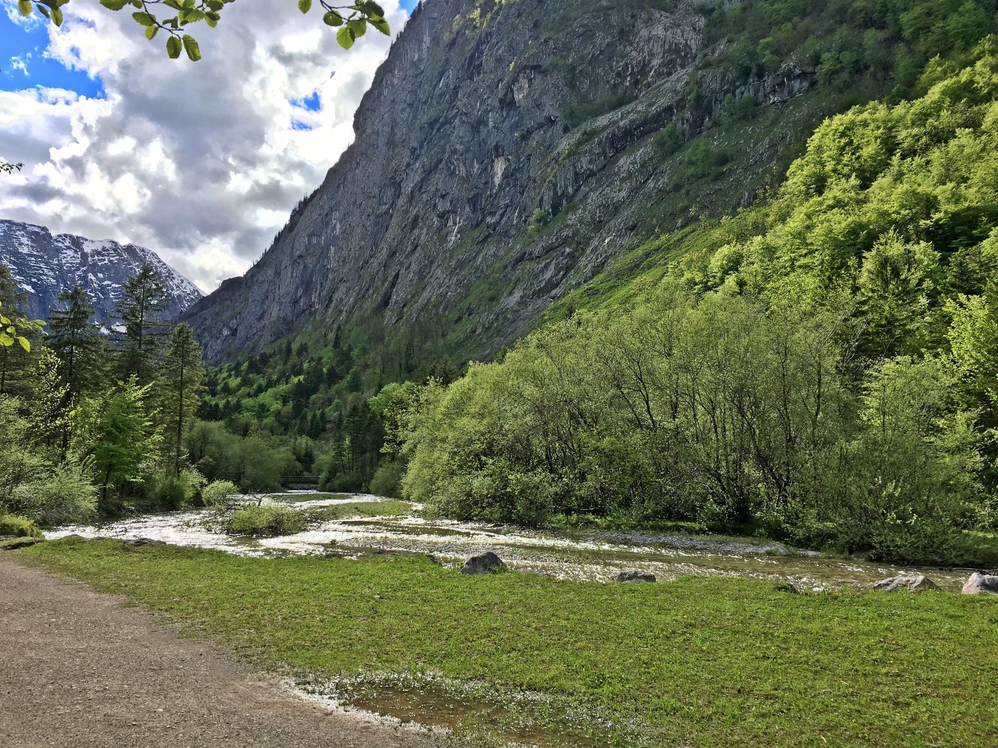
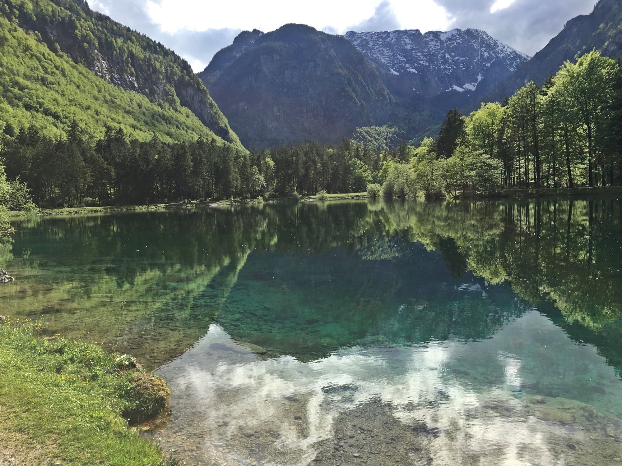
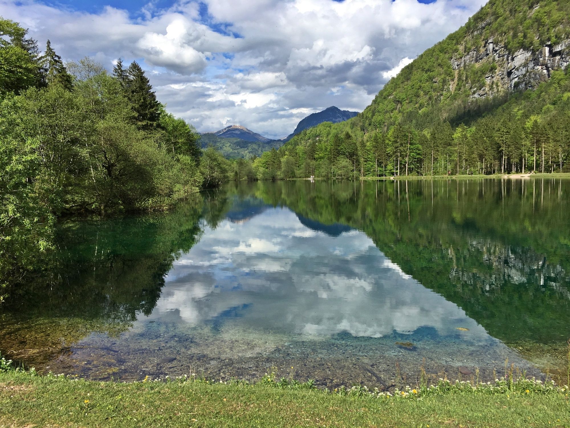
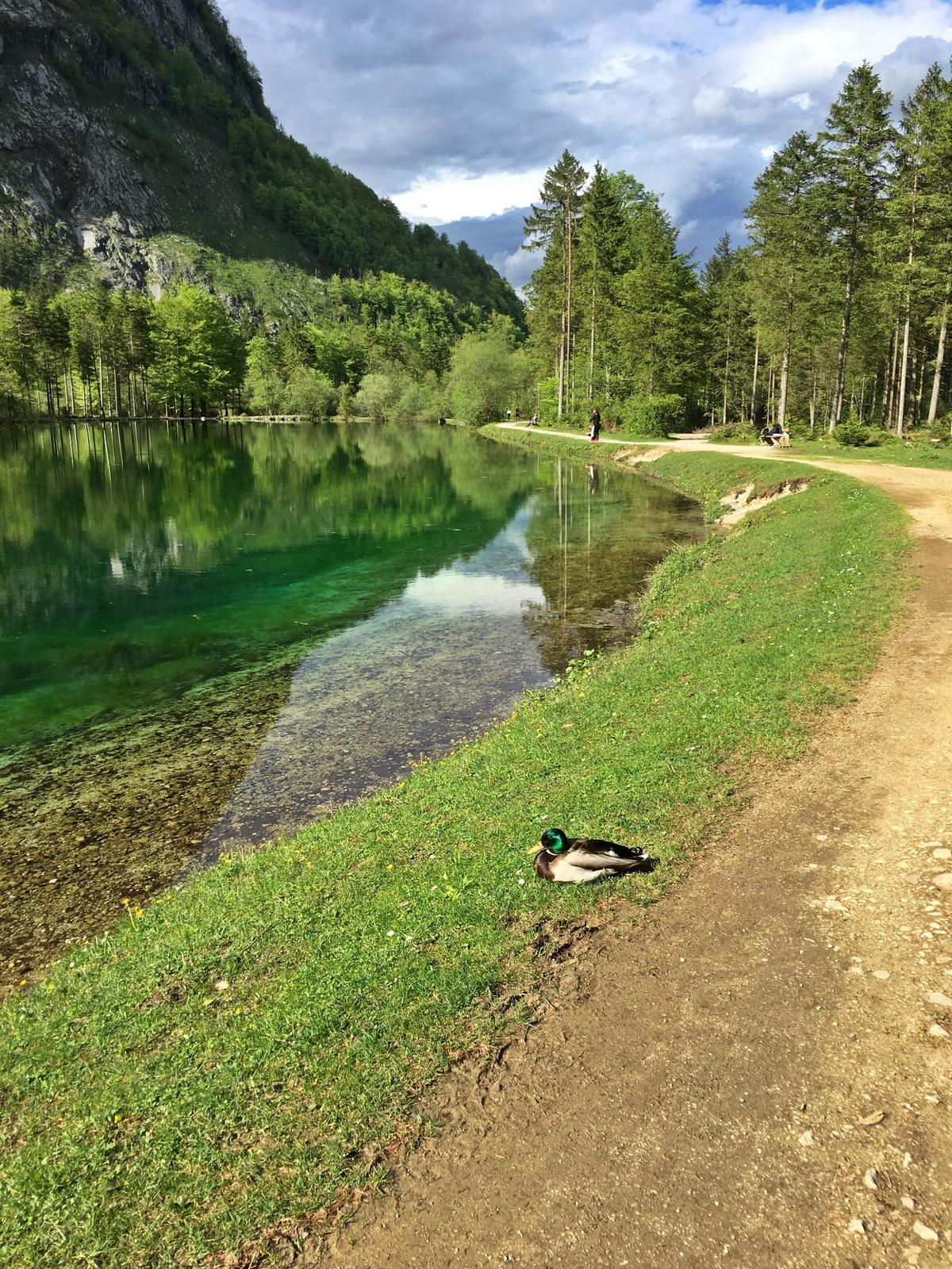
Das Naturschutzgebiet Bluntautal ist eine natürliche Schönheit, einzigartig und damit einer der bezauberndsten Flecken des Salzburger Landes.
- Difficulty
-
easy
- Rating
-
- Route
-
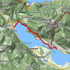
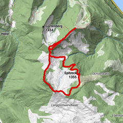
Gasthof Bärenwirt3.0 km
- Best season
-
JanFebMarAprMayJunJulAugSepOctNovDec
- Highest point
- 506 m
- Endpoint
-
Parkplatz Bluntautal
- Height profile
-


-

-
AuthorThe tour Wanderung druch das Bluntautal is used by outdooractive.com provided.
GPS Downloads


General info
Refreshment stop
A lot of view
Other tours in the regions