

- Brief description
-
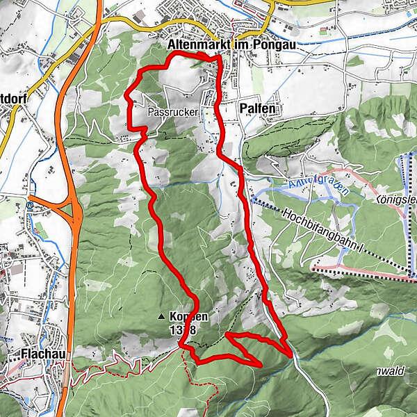
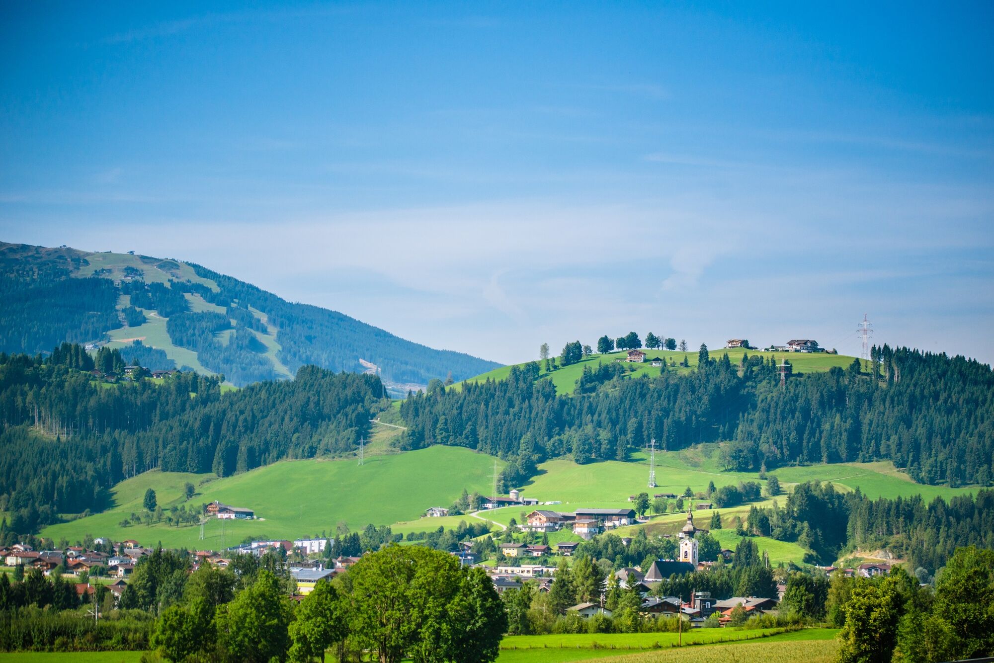
The wooded Feuersang ridge runs between the town center and the "local mountain" Lackenkogel.
- Difficulty
-
medium
- Rating
-
- Starting point
-
Start point Altenmarkt-Zauchensee Tourist Office
- Route
-
Altenmarkt im Pongau0.2 kmWinterbauer1.8 kmWetterkreuz3.0 kmSattelbauer5.4 kmGasthof Neuhäusl9.2 kmNapa Valley11.3 kmPalfen11.5 kmAltenmarkt im Pongau12.4 km
- Best season
-
JanFebMarAprMayJunJulAugSepOctNovDec
- Description
-
It offers a fascinating view over Altenmarkt and the surrounding mountains of the Tennengebirge, Dachstein and Bischofsmütze.
- Directions
-
From the start point tourist office Altenmarkt-Zauchensee leads the path you through the forest up to the Winterbauer mountain restaurant. Follow the asphalt road for 1.5 km until you get to the Sattelbauer on a walking track. From here, descend back down to the Zauch valley on a forest track and follow the creek back to the start point.
- Highest point
- 1,282 m
- Endpoint
-
Starting point Tourist office Altenmarkt-Zauchensee
- Height profile
-

- Equipment
-
Sturdy shoes, raincoat
- Safety instructions
-
Sure-footed
- Additional information
- Directions
-
Tauernautobahn A 10, exit Altenmarkt (EXIT 63), turn off at Altenmarkt West, follow the Oberndorfer Straße, turn left at the petrol station and follow the main road (B 163), after 250 m turn right to the car park by the Tourist office
- Public transportation
- Parking
-
Parking opposite the Altenmarkt-Zauchensee Tourist office
-

-
AuthorThe tour Feuersang circuit is used by outdooractive.com provided.


General info
-
Schladming - Dachstein
3002
-
Salzburger Sportwelt
2191
-
Altenmarkt-Zauchensee
587


