- Brief description
-
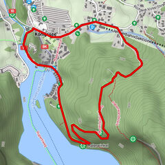
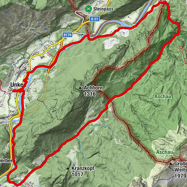
Beautiful day-long circular hike from Unken via the Gsengsteig, through the Aschauerklamm gorge, the Innersbachklamm gorge and back to Unken via the Gaissteig trail.
- Difficulty
-
medium
- Rating
-
- Starting point
-
Unken - Town Hall
- Route
-
Unken0.1 kmKeßler3.8 kmSchwaiger5.5 kmHaiderhof5.8 kmAschau-Blick10.4 kmAschau10.5 kmMitterhorn-Blick11.3 kmHochreith12.9 kmInnersbachklamm-Blick14.1 kmKniepass (554 m)14.7 kmSchütterbad15.8 kmLöwenquelle16.1 kmUnken17.1 kmKeßler21.1 kmSchwaiger22.7 kmHaiderhof23.0 km
- Best season
-
JanFebMarAprMayJunJulAugSepOctNovDec
- Description
-
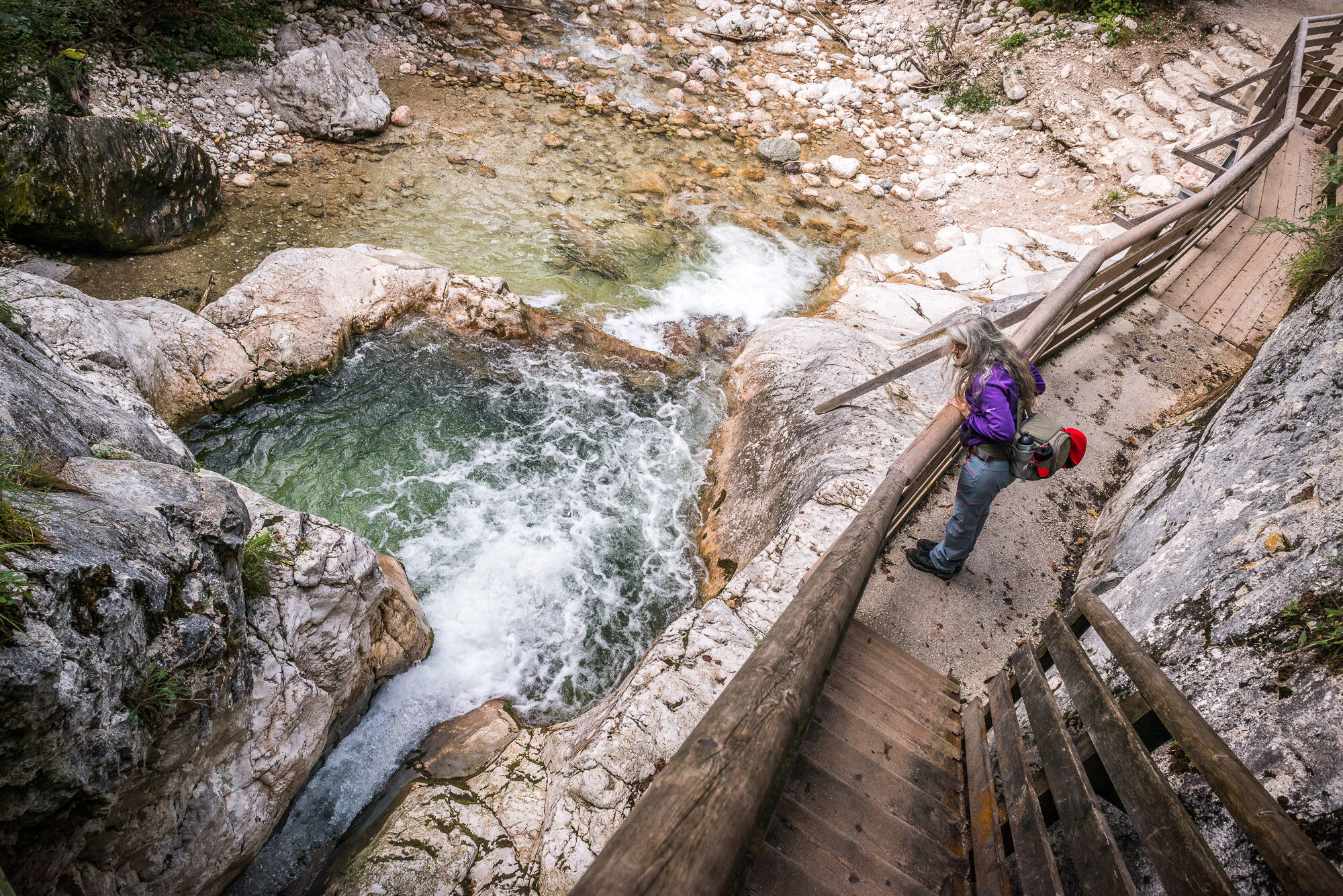
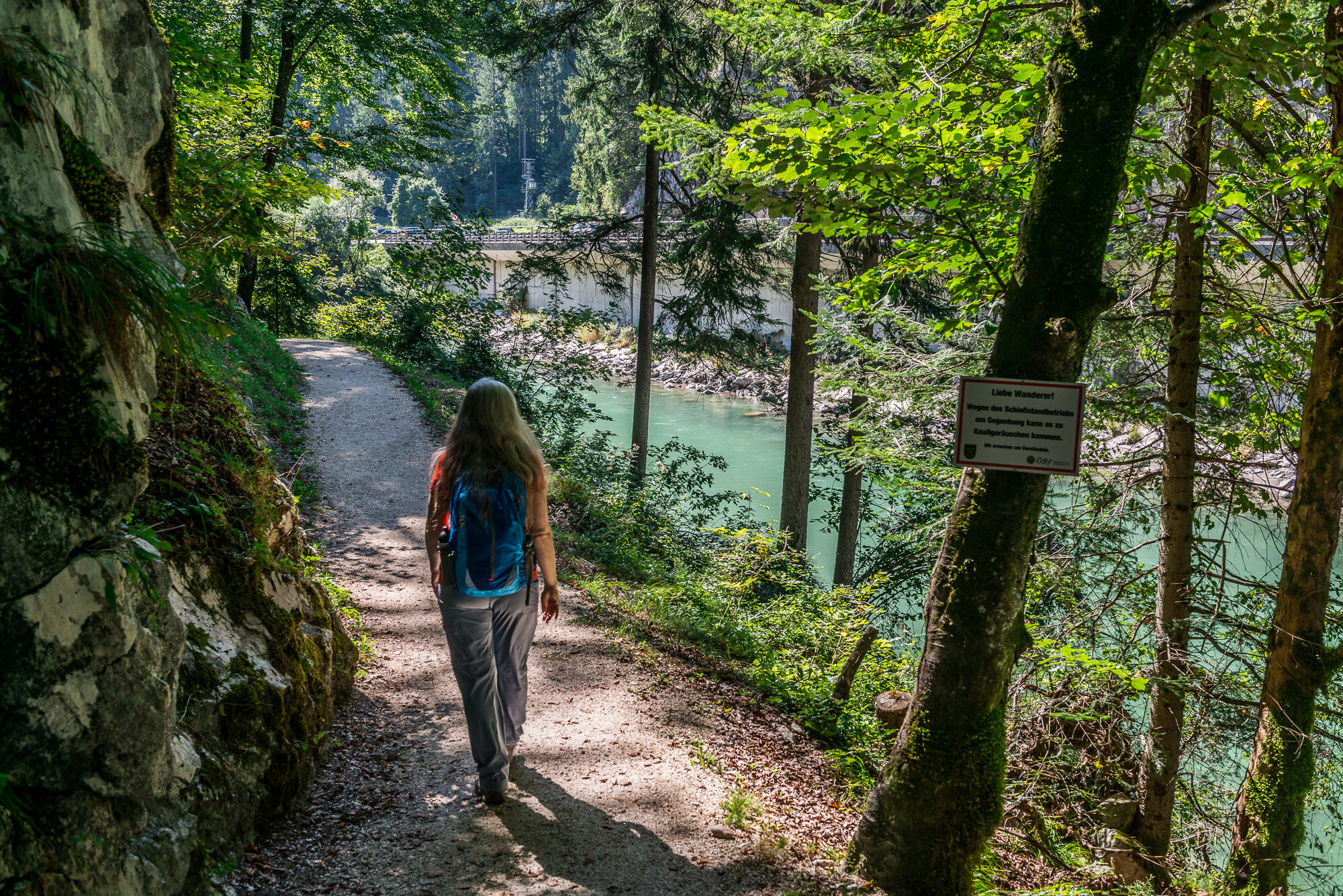
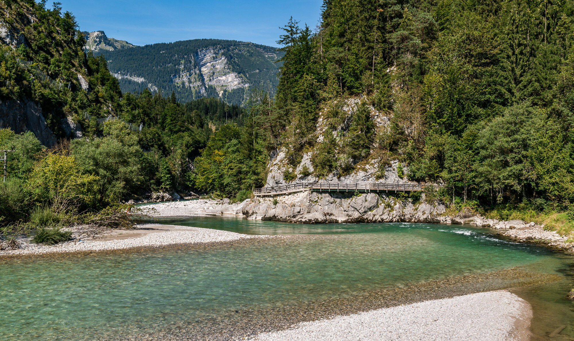
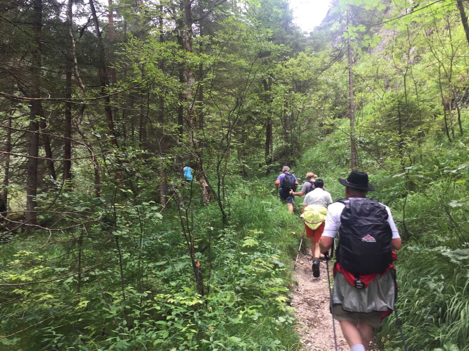
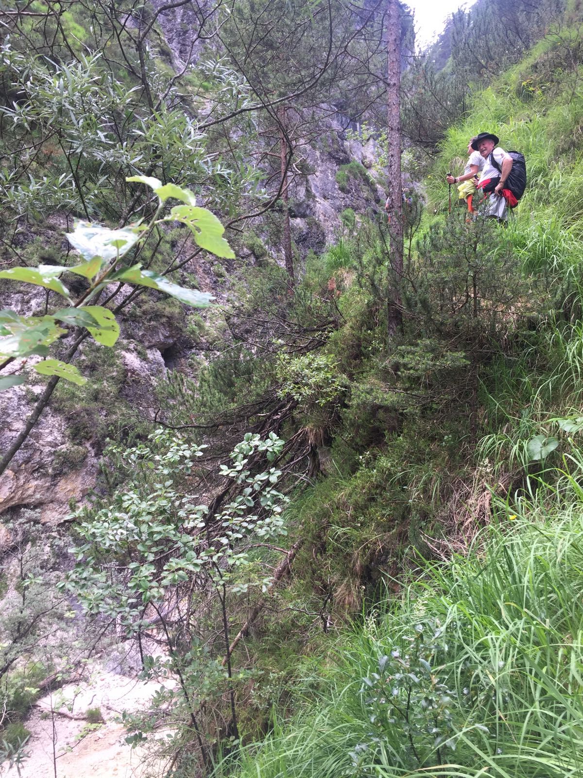
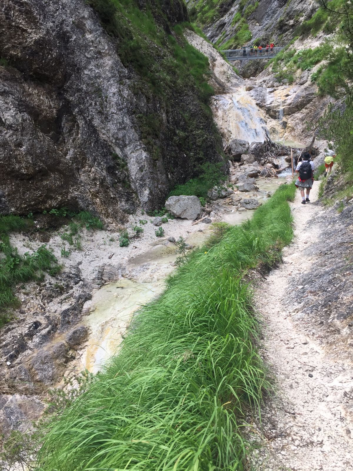
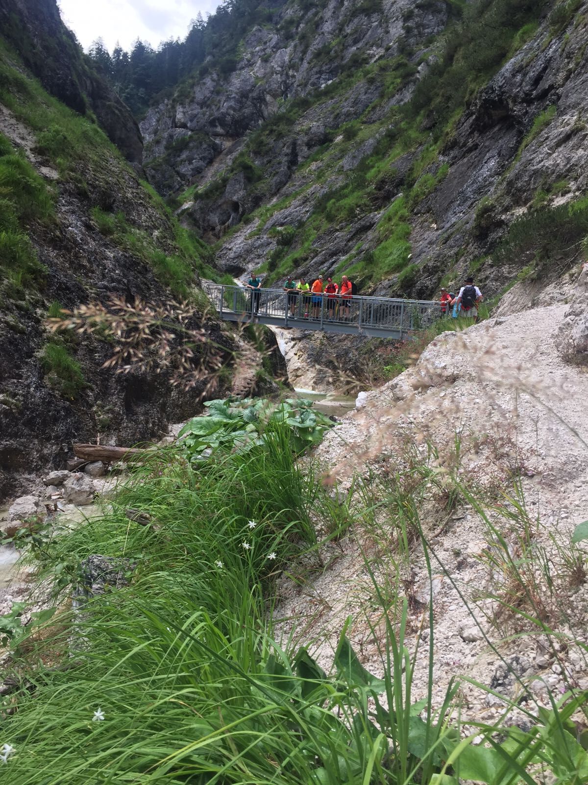
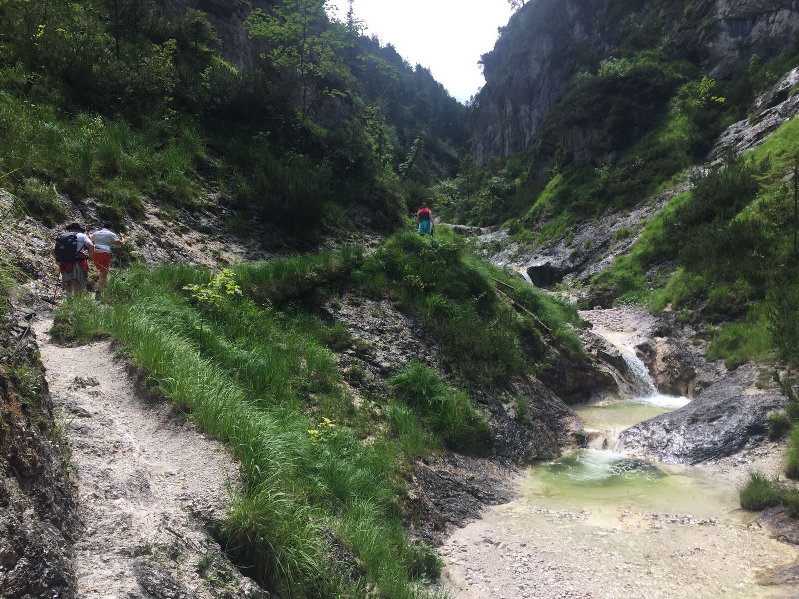
From the municipal office in Unken, the hike leads past the church along the Gsengsteig trail to the vicinity of the old customs office. Past the sewage treatment plant and the Köstlerhof farm, we arrive at the Haiderhof farm (closed MO-MI) and the Aschauerklamm gorge. We hike through the wildly romantic gorge and along the Innersbach stream with a beautiful view of the Loferer Steinberge mountains further into the Unken district of Reith. Through the Innersbachklamm gorge we reach the Saalach and hike downstream on the Gaissteig trail and over the "Schwerm" footbridge. The hike leads back past the Landhotel Schütterbad and the old football pitch to the centre of Unken.
- Directions
-
Unken - church - Gsengsteig - football pitch - sewage treatment plant - Köstlerhof - Haiderhof - Aschauer Klamm - Aschauer Klause (service hut) Aschauer Sattel - Reith - Innersbachklamm - Gaissteig - "Schwerm" - Landhotel Schütterbad - Alter Fußballplatz - Unken.
- Highest point
- 860 m
- Endpoint
-
Unken - Town Hall
- Height profile
-

- Equipment
-
Hiking equipment, food and drink, towel
- Safety instructions
-
The Gaissteig is closed due to the risk of falling rocks.
- Tips
-
Along the hike there are several opportunities to cool off on hot summer days.
- Directions
-
Coming from Salzburg/Bad Reichenhall, turn right shortly after the border. Continue along the road past the Schallbau Vitzthum company and the KinderHotel Post. At the butcher's shop Dornauer turn right towards Heutal. Shortly afterwards you will find the municipal office in Unken. Coming from Lofer, turn right shortly before the Achbergtunnel and pass the ADEG market. Then turn left. Shortly afterwards you will find the municipal office in Unken.
- Public transportation
- Parking
-
Near the church or at the car park next to the primary schools.
-

-
AuthorThe tour Tour around the Achberg is used by outdooractive.com provided.


General info
-
Salzburger Saalachtal
1827
-
Unken - Heutal
438