
- Brief description
-
Of dizzying heights and culinary delights.
- Difficulty
-
difficult
- Rating
-
- Starting point
-
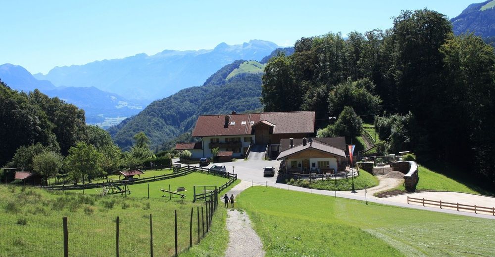
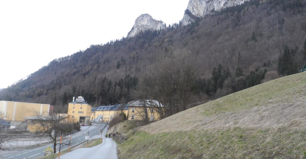
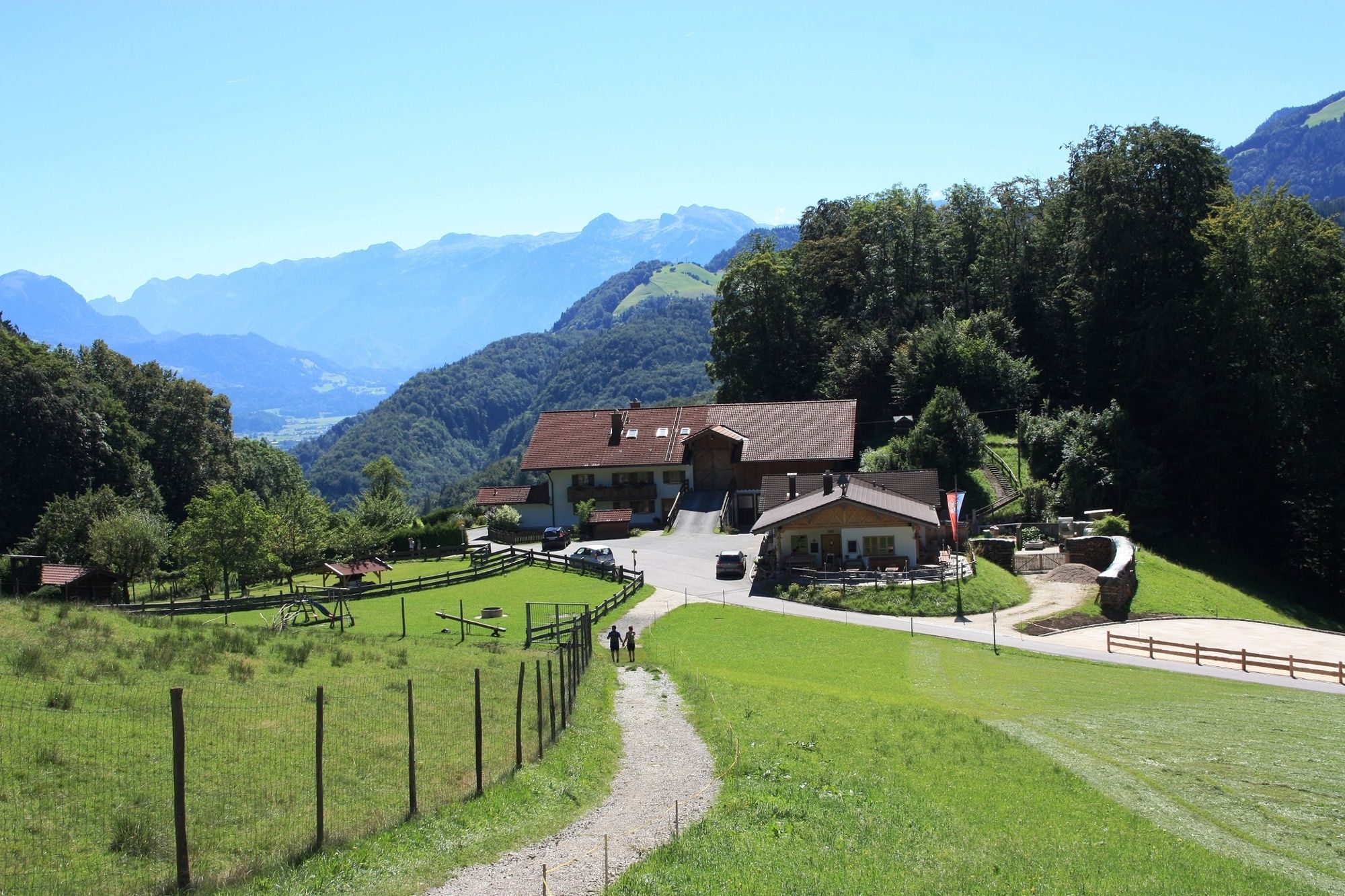
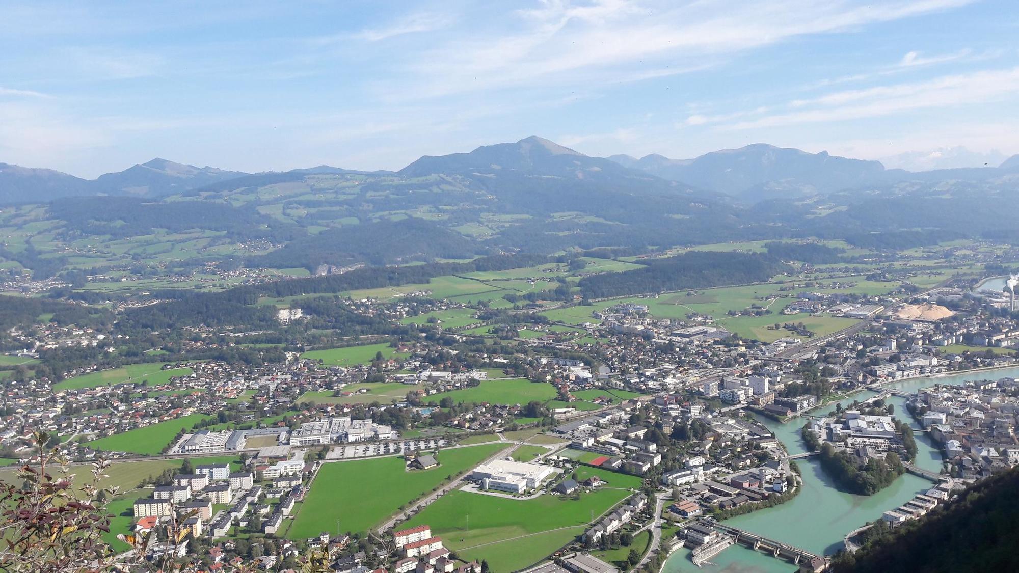
Hofbräu Kaltenhausen (Hallein)
- Route
-
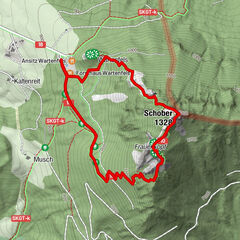
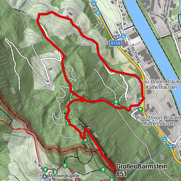
Großer Barmstein (851 m)1.3 kmBlick auf den kl. Barmstein (845 m)1.4 kmHallein1.4 km
- Best season
-
JanFebMarAprMayJunJulAugSepOctNovDec
- Description
-
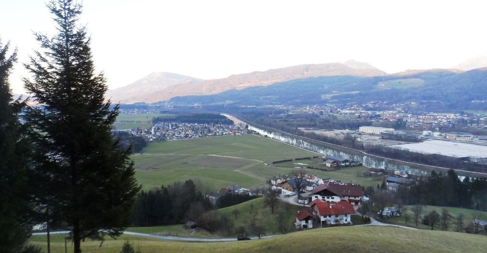
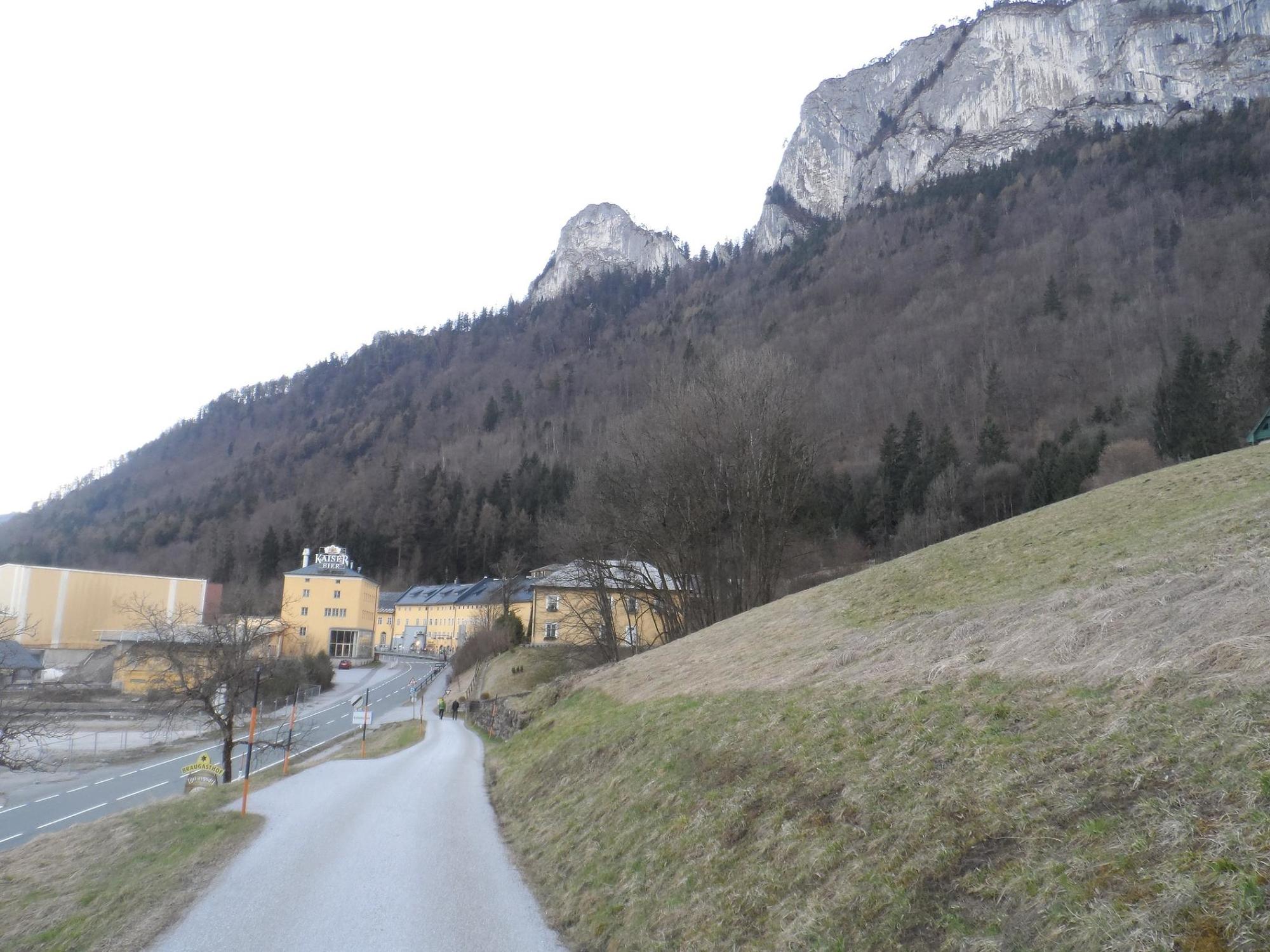
Early in the 500-year history of Hofbräu Kaltenhausen, tunnels in the Barmsteinen were used to store beer. Today, the path up to Großer and Kleiner Barmstein is considered a popular, albeit challenging, hiking trail. We are only too happy to return to the beer after the hike.
- Directions
-
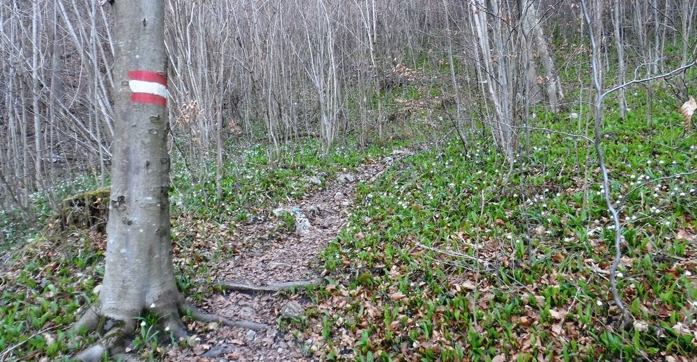
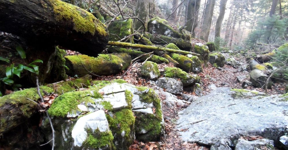
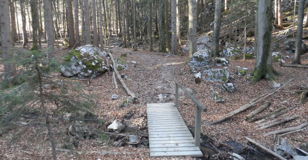
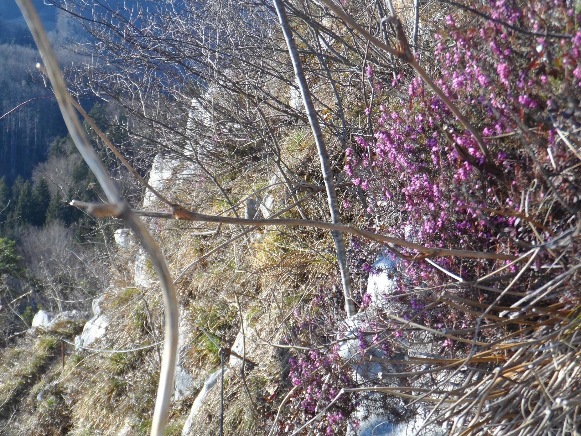
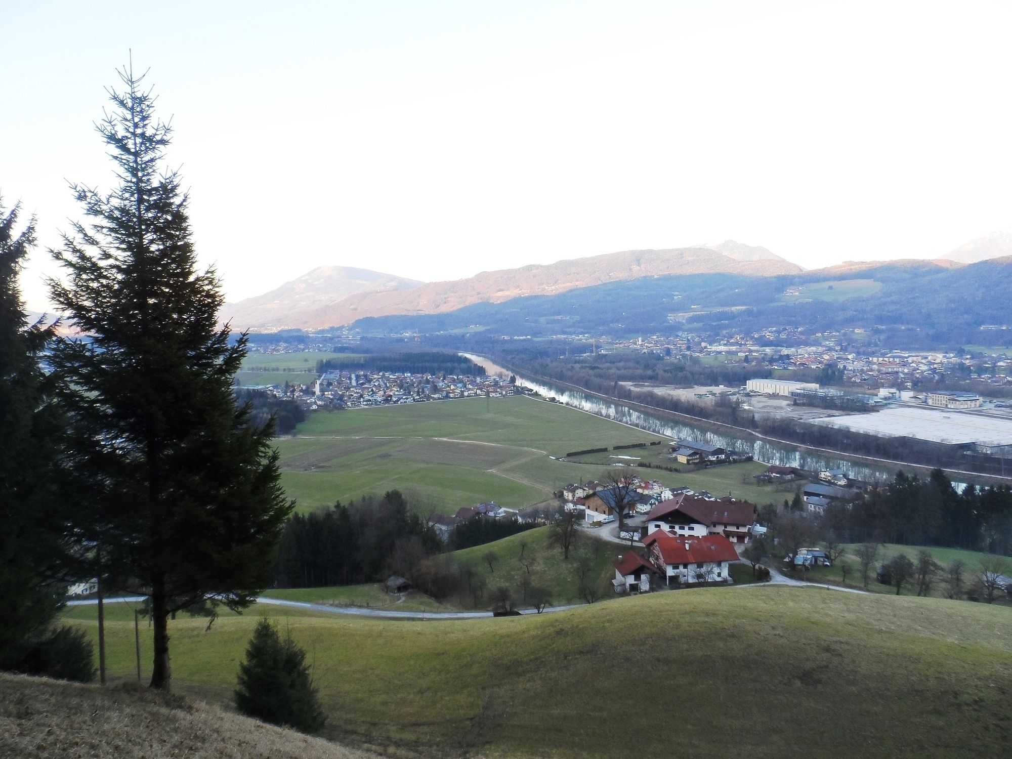
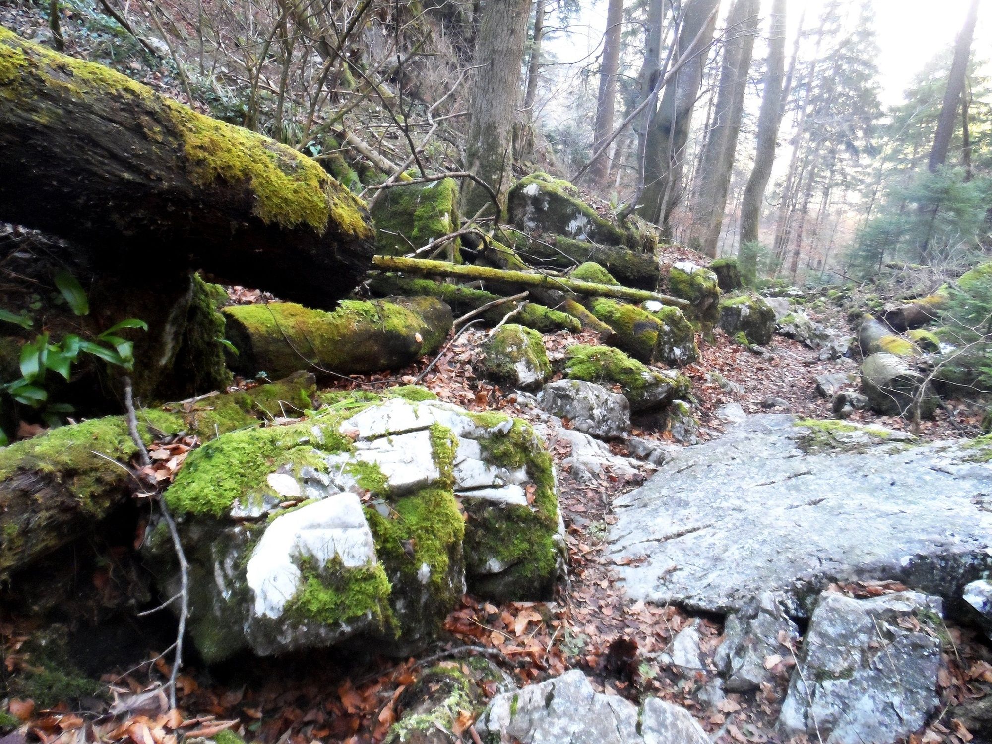
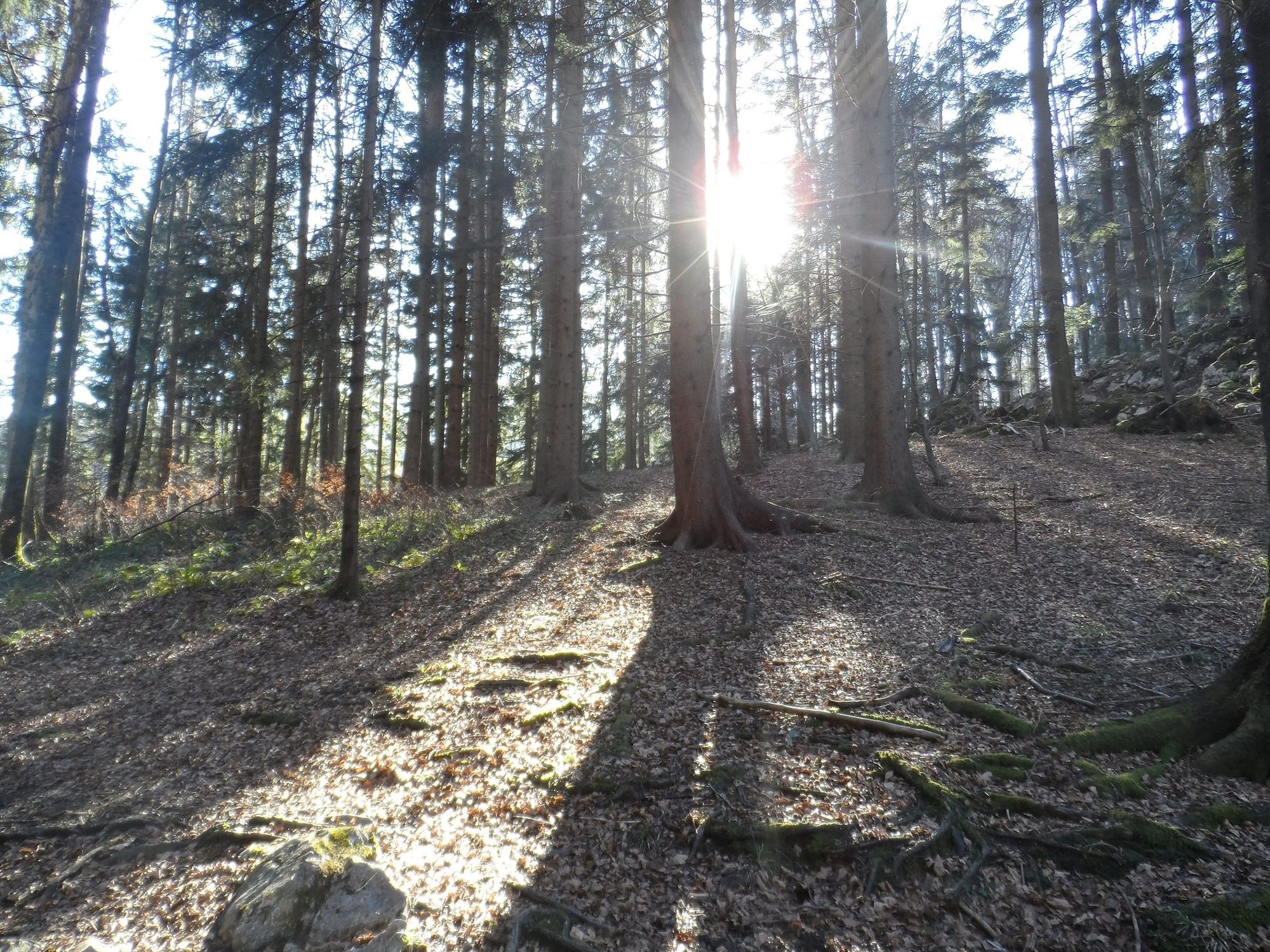
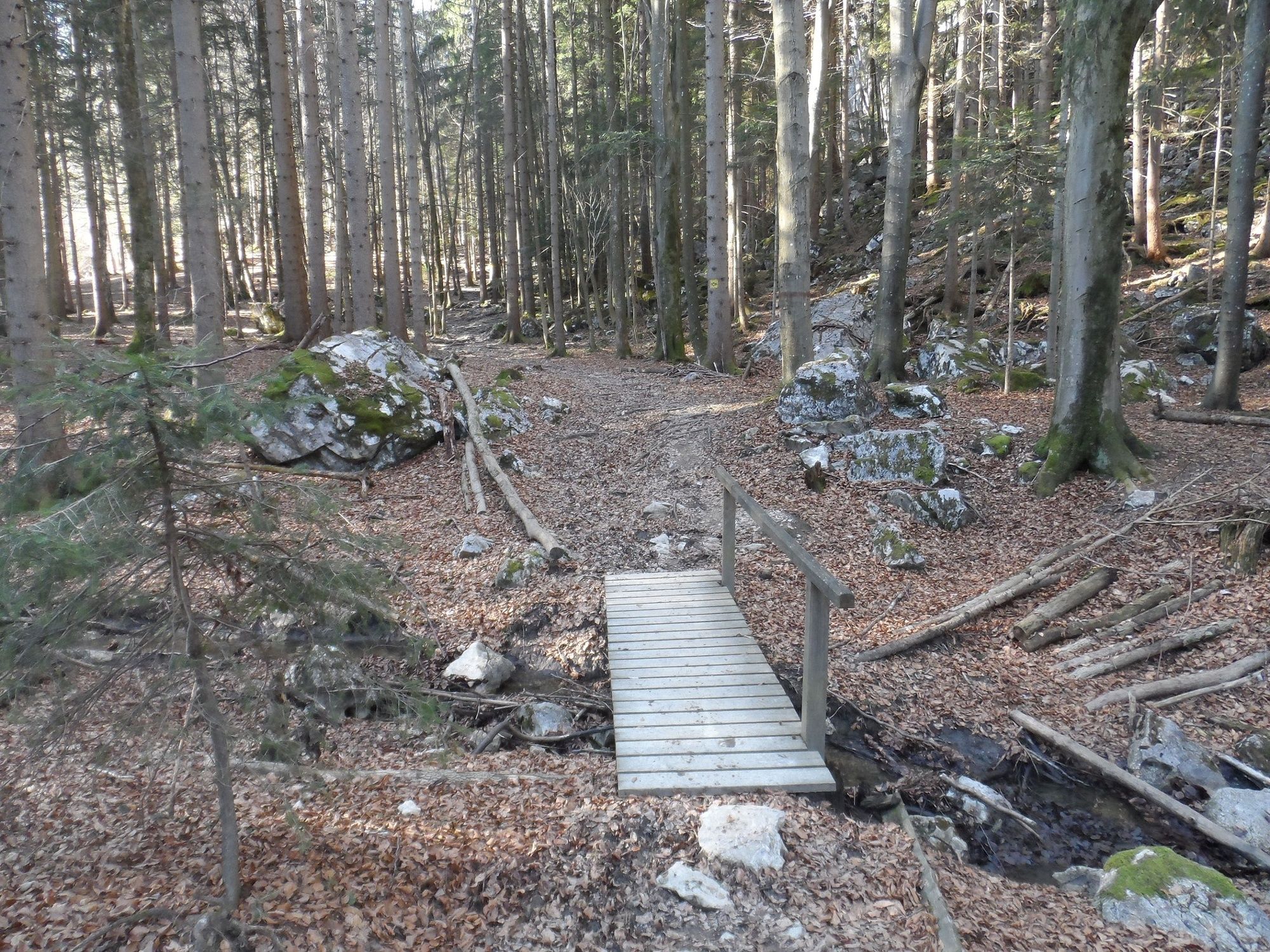
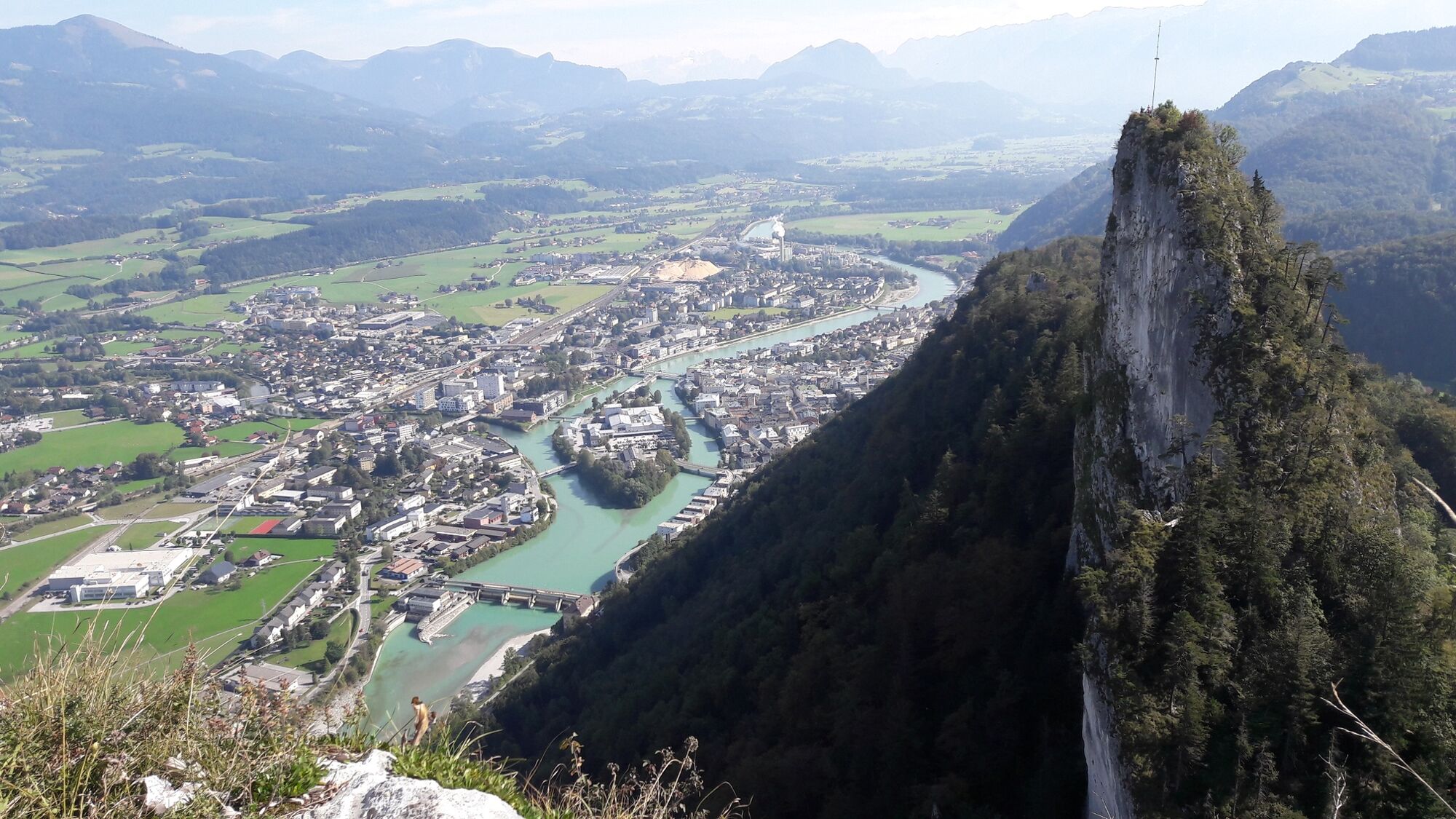
We start our hike at Hofbräu Kaltenhausen near Hallein. On the right, behind the main building of the historic brewery, we follow the Braumeisterweg uphill and thus reach the steep slope forest below the mighty Barmsteine towering behind it. After a few meters, the path crosses a somewhat wider forest road that is crossed at a slight angle. A blue marker on the other side indicates access to a narrow path that is obscured by dense foliage and thus somewhat difficult to find. Steeply uphill, the well-marked path continues up the mountain. Over roots and small streams we climb higher and higher up the mountain and finally reach a small clearing where the path splits. We continue hiking in the direction of "Großer Barmstein - 30 min". The path leads us through a fairy-tale scenery. Moss-covered boulders and coarse roots line the path, which winds its way through gorge-like formations between mighty rocks. After a few minutes, we turn left at a trail junction to the Großer Barmstein.
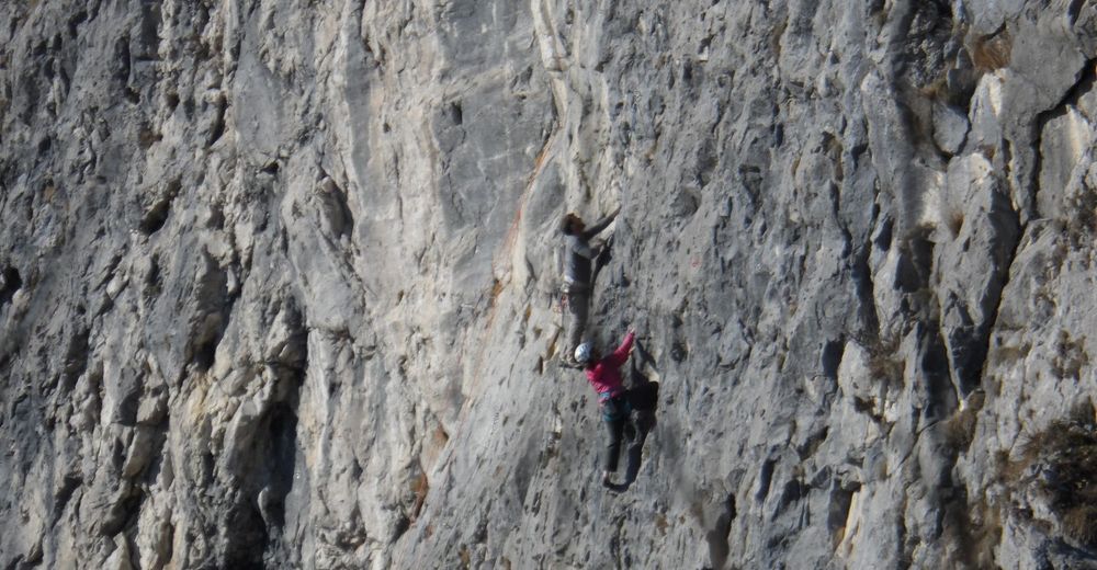
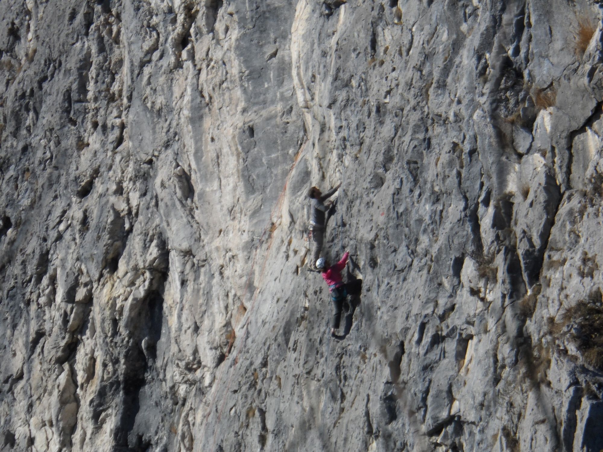
ATTENTION: This part of the hike is really only recommended for experienced hikers who are free of giddiness and sure-footed! The path here is partly secured with steel ropes and exposed.
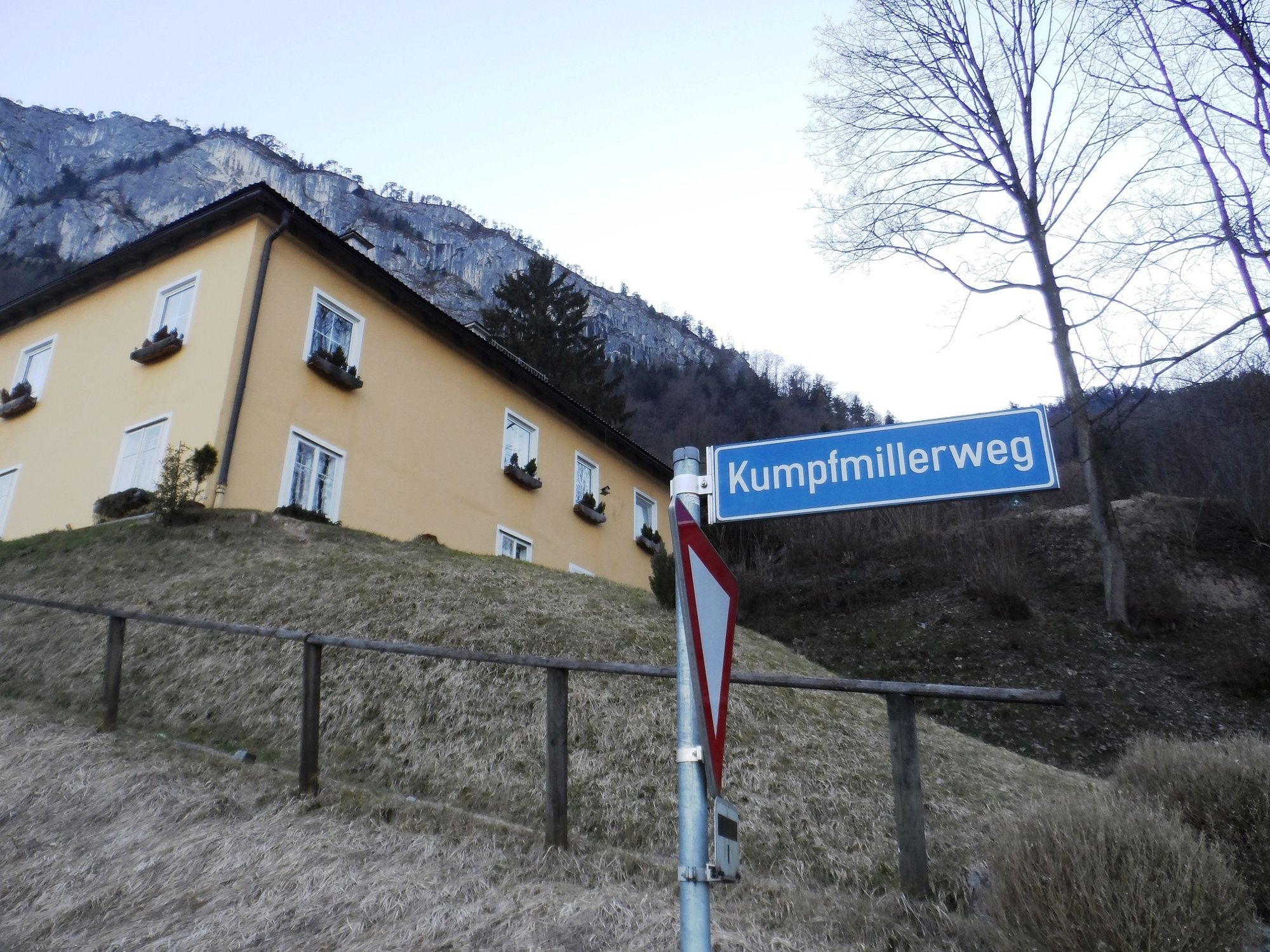
The way back follows the same path up to the clearing mentioned above, but at the intersection we now continue straight ahead (Kaltenhausen - 45 min). The path widens into a forest road and leads downhill in large serpentines. On the Kumpfmillerweg we go back to our starting point.
At the end, get your stamp for your Tennengau hiking pass and enjoy a well-deserved refreshment at the Bräustübl Kaltenhausen.
- Highest point
- 846 m
- Endpoint
-
Hofbräu Kaltenhausen (Hallein)
- Height profile
-

- Equipment
-
Sturdy shoes and surefootedness are absolutely necessary on this hike.
- Safety instructions
-
The hike to the Großer Barmstein is up to the junction "Großer Barmstein - 30 min" steep and partly demanding but generally easy to walk. The last part of the hike, however, is only recommended for people with alpine experience, as we are here partly in very exposed terrain, which is secured at key points with steel ropes.
Please always keep in mind that on the hikes described here you are in the mountains, in free nature and partly in alpine terrain.
Our contents have been compiled with the greatest care, but any liability is hereby expressly excluded. Dangers can never be completely excluded and the use of all information and tour descriptions is at your own risk!
- Tips
-
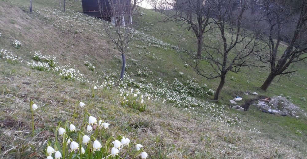
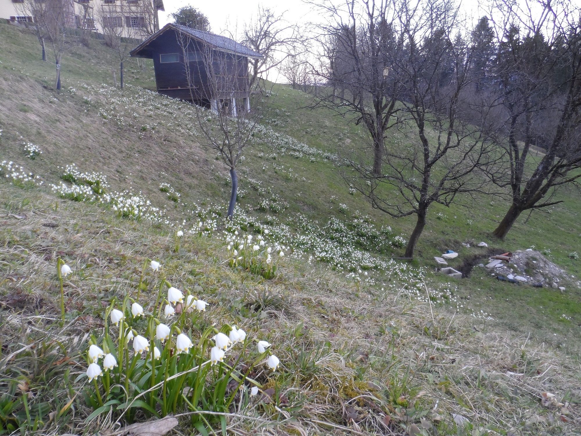
This hike is especially beautiful in spring: in the light-flooded forests below the mighty Barmsteine, spring knotweed and liverworts bloom at this time, and the forest is filled with the scent of young ramsons.
- Additional information
- Directions
-
On the Tauernautobahn (A10) take the Hallein exit (Exit 16) in the direction of Hallein. We follow the signs "Zentrum" and turn right on the city bridge onto the Pernerinsel. At the traffic circle we take the second exit and follow the road out of town to Kaltenhausen.
- Public transportation
-
By train to Hallein station, from there by bus no. 170 (Hallein - Salzburg) to Kaltenhausen.
- Parking
-
Parking facilities at the Hofbräu Kaltenhausen.


- Author
-
The tour From Kaltenhausen to the Großer Barmstein (10 points) is used by outdooractive.com provided.