© Ferienregion Nationalpark Hohe Tauern - Tourismusverband Uttendorf/Weißsee

- Brief description
-
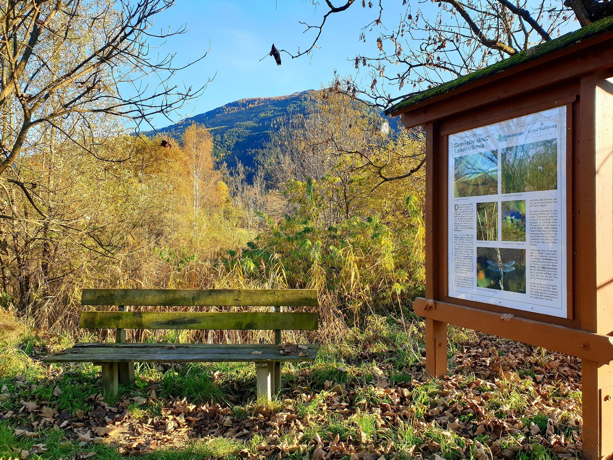
Kinderfreundliche Erlebniswanderung
- Difficulty
-
medium
- Rating
-
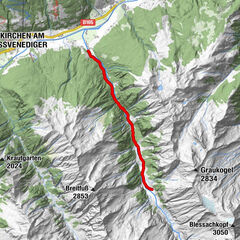
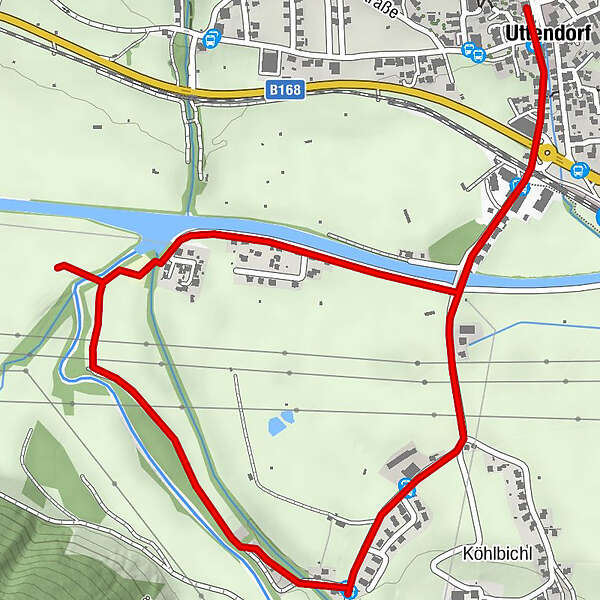
- Route
-
Uttendorf0.1 km
- Best season
-
JanFebMarAprMayJunJulAugSepOctNovDec
- Highest point
- 789 m
- Endpoint
-
Naherholungsgebiet Achenfurt
- Height profile
-

-

-
AuthorThe tour Naherholungsgebiet Achenfurt is used by outdooractive.com provided.
GPS Downloads


General info
Insider tip
Flora
Fauna
Other tours in the regions