

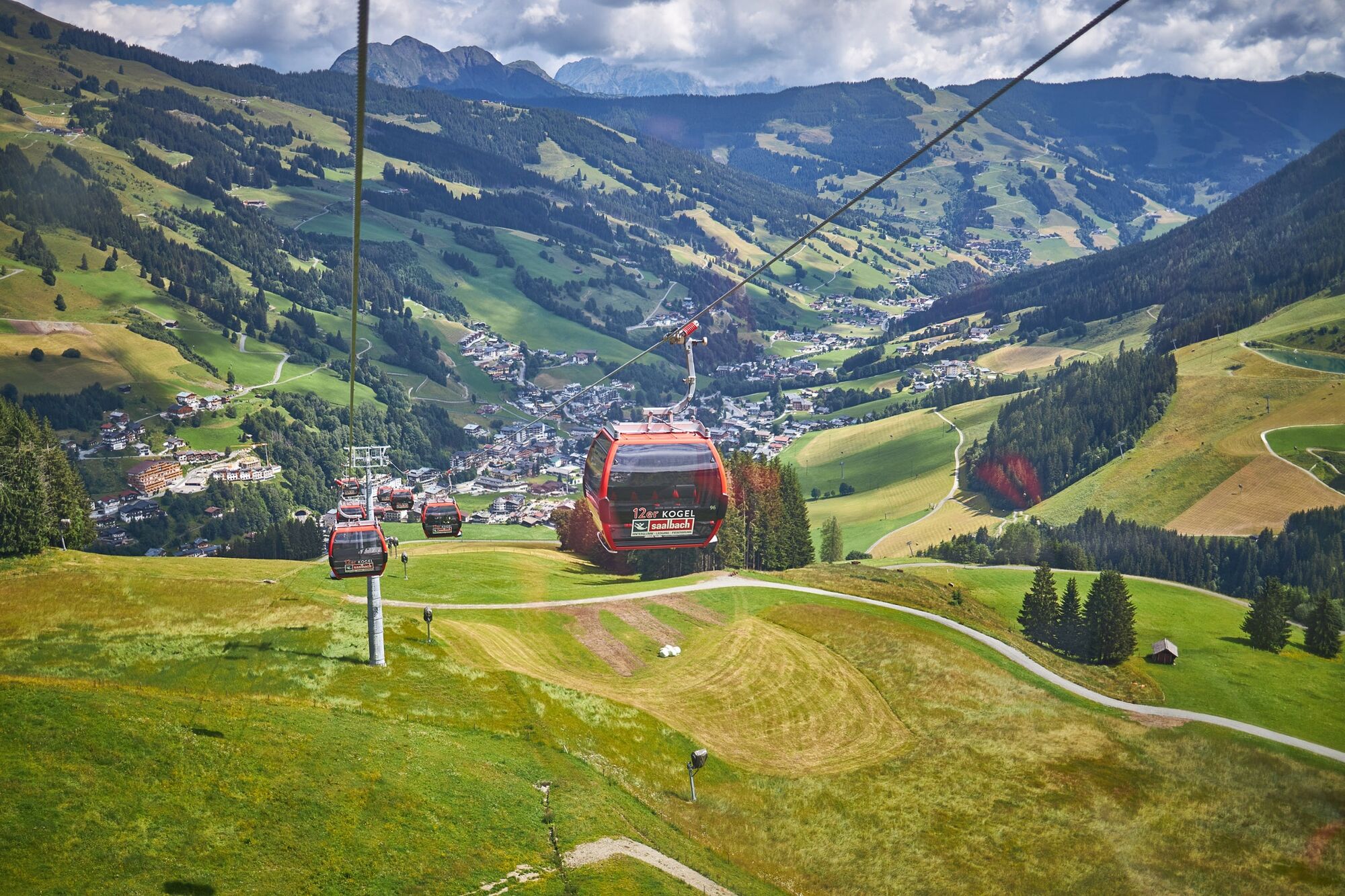
© Ferienwohnungen Saalbach-Hinterglemm - Sabrina Gensbichler

- Brief description
-
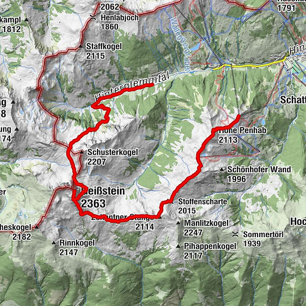
Lange Wanderung vom Zwölferkogel - Penhab - Geißstein bis nach Lengau
- Difficulty
-
difficult
- Rating
-
- Route
-
Zwölferkogel (1,984 m)0.0 kmHohe Penhab (2,113 m)1.3 kmSchoenhofer Wand2.9 kmStoffenscharte (2,015 m)4.4 kmZehentner Stange (2,114 m)5.3 kmMittagskogel (2,092 m)5.7 kmMurnauer Scharte (1,959 m)7.1 kmLeitenkogel (2,070 m)7.7 kmLeitenscharte7.9 kmGeißstein (2,363 m)9.3 kmSchlaberstatt (2,048 m)11.0 kmSchusterscharte (1,985 m)12.0 kmJägerkapelle15.4 kmLindlingalm (1,370 m)15.8 kmSteffelalm17.3 km
- Best season
-
JanFebMarAprMayJunJulAugSepOctNovDec
- Highest point
- 2,353 m
- Endpoint
-
Talschluss/Lindlingalm
- Height profile
-

-
-
AuthorThe tour vom Perfeldhof bis in den Talschluss is used by outdooractive.com provided.
GPS Downloads


General info
A lot of view
Other tours in the regions


