


- Brief description
-
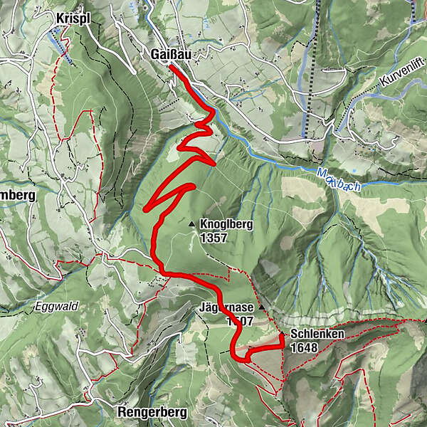
Gaissau Community Center-Mörtelbach-Untersgraben-Reithöfe-Formau-Schlenken(ÖAV Trail 840)
- Difficulty
-
medium
- Rating
-
- Route
-
GaißauFormau5.3 kmSchlenkenrinne6.5 kmZillhütte7.0 kmTrautenstattalm7.2 kmSchlenken (1,648 m)7.6 km
- Best season
-
JanFebMarAprMayJunJulAugSepOctNovDec
- Description
-
From the community center in Gaissau, follow the Mörtelbach on an asphalt road until you reach a fork in the road (Untersgraben), there you continue to the left until you reach the last houses. At the barrier the surface changes to a forest road. Through the forest you go up the serpentines until you reach Formau. Past numerous huts and houses it is not far to the Schlenken.
Is also a super tour with the bike or E-bike!!!
Translated with www.DeepL.com/Translator (free version)
- Directions
-
From the community center in Gaissau go along the Mörtelbach on an asphalt road until you come to a fork in the road (Untersgraben), there you continue to the left until you reach the riding stables. At the barrier the surface changes to a forest road. Through the forest you go up the serpentines until you reach Formau. Past numerous huts and houses it is not far to the Schlenken.
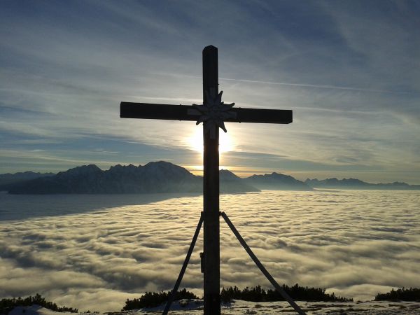
- Highest point
- 1,629 m
- Endpoint
-
Schlenken
- Height profile
-

- Equipment
-
Sturdy shoes, hiking poles, sun protection
- Tips
-
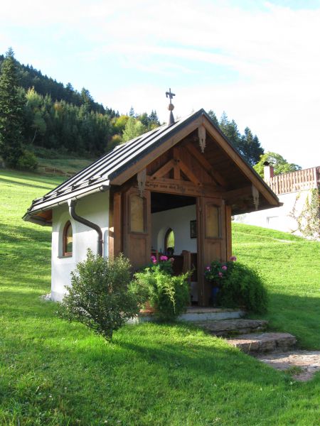
There are plenty of places to stop!
Zillhütte
Trautener hut
Halleiner hut
Zillreith Inn
- Author
-
The tour Knogl-Schlenken (No.:71) Krispl-Gaissau (stamp site, 8 points) is used by outdooractive.com provided.
GPS Downloads


General info
Refreshment stop
A lot of view
Other tours in the regions


