- Brief description
-
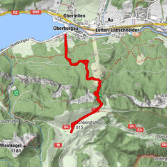
Strub-Unterschirlstrasse-Wörndlkapelle- nördl. Talmulde bei Sattel Flötz-Wegkreuz-Flötzkreuz
- Difficulty
-
easy
- Rating
-
- Route
-
Strub0.1 kmUnterwörndlkapelle1.0 kmUnterschirl1.2 kmWörndlsattel (914 m)4.2 km
- Best season
-
JanFebMarAprMayJunJulAugSepOctNovDec
- Highest point
- 921 m
- Endpoint
-
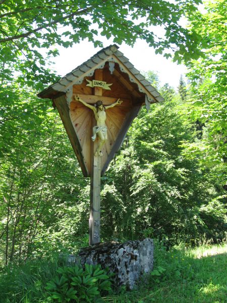
Wegkreuz Flötz
- Height profile
-

- Author
-
The tour Flötzwanderweg (Nr.: 67) Krispl-Gaissau is used by outdooractive.com provided.
GPS Downloads


General info
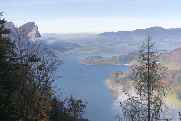
A lot of view
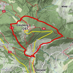
Other tours in the regions