- Brief description
-
Trail Running Event on 02.09.2017
Info
35 km 2800 hm+ 1800 hm-
Fastest Time 2015: 3 h 56 min
Average Timet: 6 h 30 min
- Difficulty
-
medium
- Rating
-
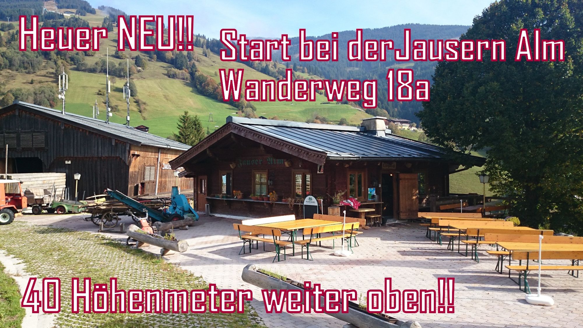
- Starting point
-
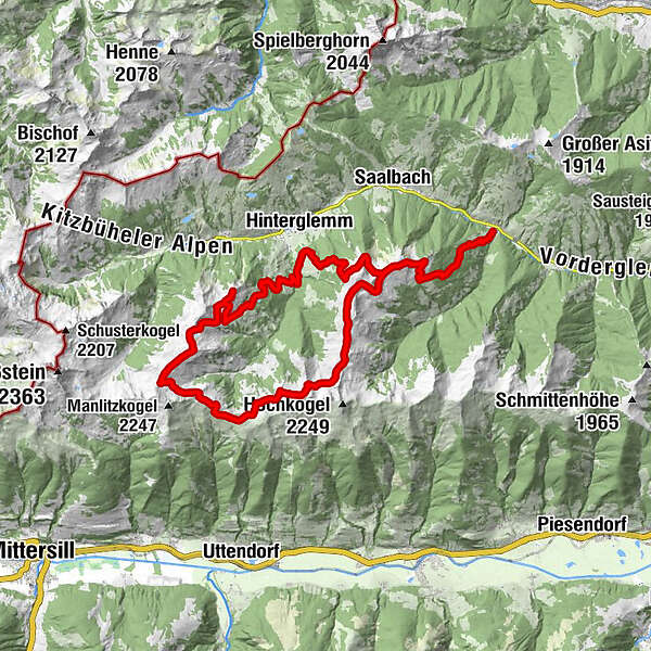
Jausern Vorderglemm
- Route
-
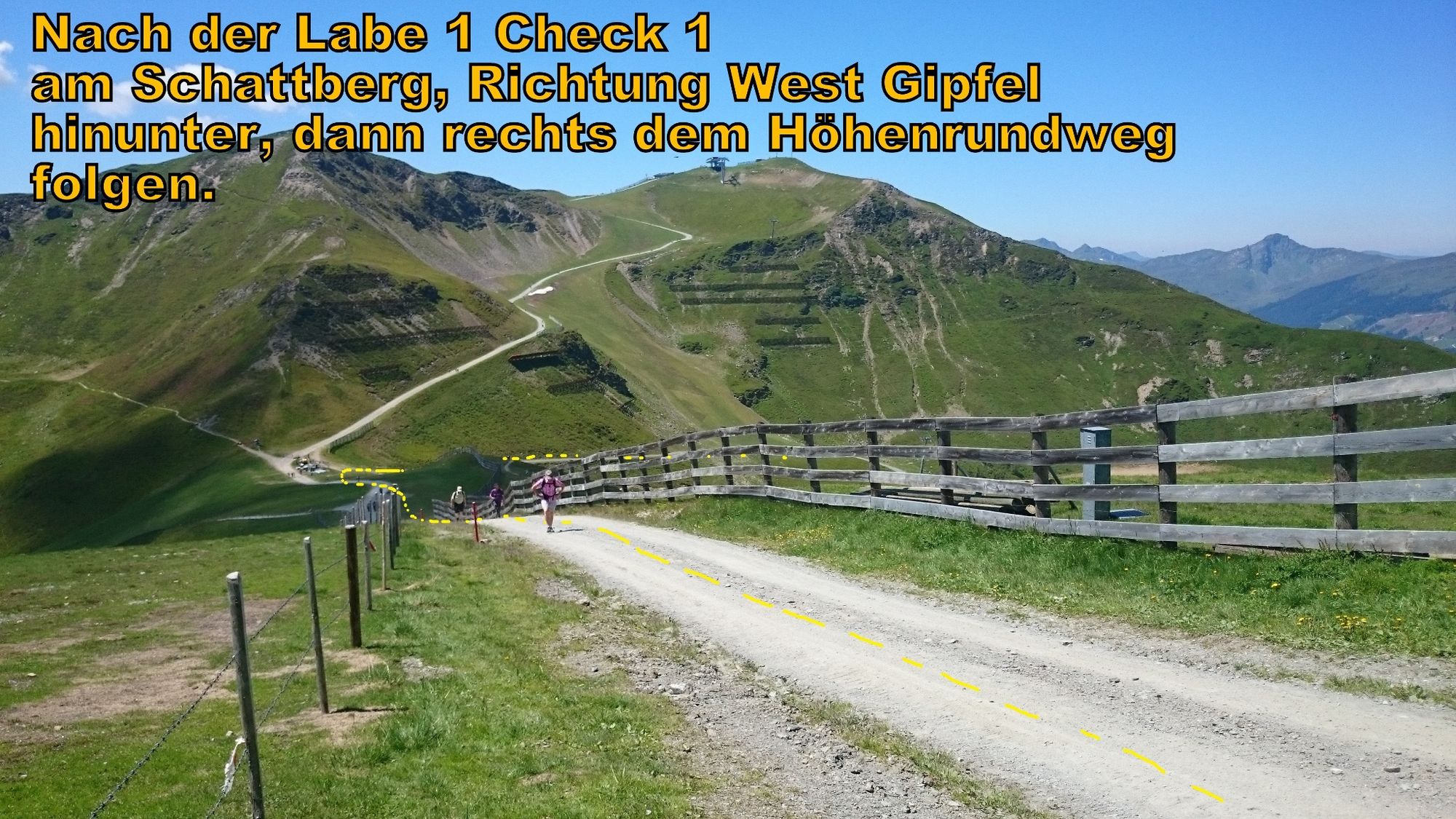
JausernLimbergalm4.0 kmSchattberg-Ost (2,018 m)5.9 kmSkyRest5.9 kmHintermaisalm13.5 kmWinkler Alm14.4 kmWinkleralm (1,530 m)14.5 kmBreitfußalm15.8 kmZwölfer-Nordbahn18.1 kmZwölferkogel (1,984 m)18.2 kmStoffenscharte (2,015 m)22.8 kmSommertörl (1,939 m)26.0 kmSeetörl (1,964 m)31.2 kmSkyRest35.8 kmSchattberg-Ost (2,018 m)35.8 km
- Best season
-
JanFebMarAprMayJunJulAugSepOctNovDec
- Description
-
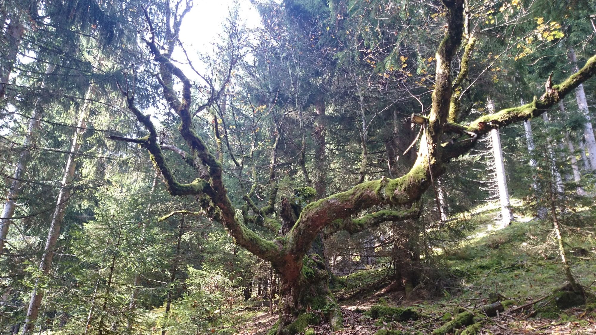
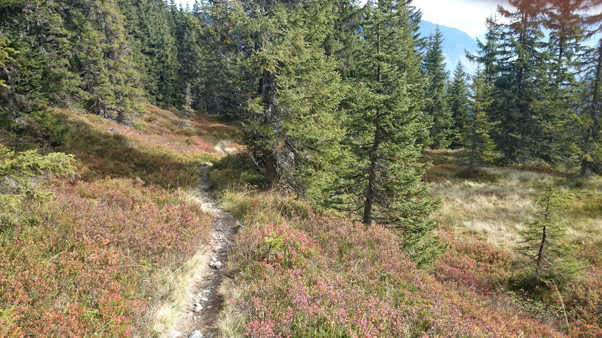
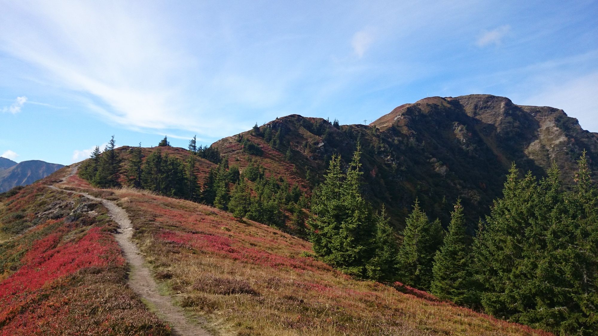
A wonderful and variable Trail Run.
A steep ascent with long flowing trails.
As a reward, make the 1,000 metre descent with the Schattberg lift.
Event Info: verticallife
- Directions
-
Take the hikers' bus to Jausern - Vorderglemm. From here, walk up on the woodland hiking trail 18a up to the eastern peak of the Schattberg, then come down the Schattberg west down to the Bergstadl Trail. Once you have reached the reservoir, turn left in the direction of the Gerstreitam and continue on to the road to a crossing at approx. 1,200 metres. From here head upt towards the Zwölferkogel (there are many signposts and directions) and onto the Panorama Trail back to Schattberg East.
A tour for all, whether professional or amateur runners!
- Highest point
- 2,123 m
- Endpoint
-
Saalbach
- Height profile
-

- Equipment
-
High quality footwear
Trailrunning Rucksack
Mobile telephone (charger and emergency number/s)
Functional clothing for running
Headlamp (replacement batteries)
min. 2 litres of liquid (water etc.)
Whistle
Hat/cap (for the heat or rain)
Aluminium emergency blanket (approx. 140×200 cm)
Trail map
Emergency supplies (min. 2 bars or gels)
Insurance for helicopter or mountain rescue (ÖAV,ÖMTC…)
Waterproof jacket (min. 10.000ml)
Waterproof trousers min. 10.000ml (optional)
Hat, gloves, long trousers, long armed shirt, (for all weather conditions)
GPS equipent is very important/helpful
Trailrunning Poles
Salt tablets
Amino acid tablets ....
- Safety instructions
-
Below you will find information on how you should be equipped for this tour.
- Tips
-
Depending on the day and time of year, you can top your fluids up at one of the mountain huts and therefore don't need to carry extra weight. If the huts are closed, be sure to take min. 2.5 litres of fluids with you.
You will normally find the marjority of open huts nearby the lift stations.
For example, above 1,000 metres Skyrest and above 1,900 metres the Zwölfertreff.
Please inform yourselves of the lift operating times INFO


- Author
-
The tour Trailmaster is used by outdooractive.com provided.