
- Brief description
-
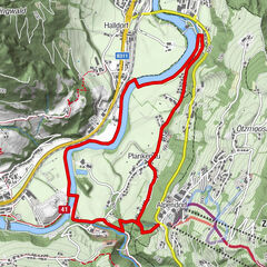
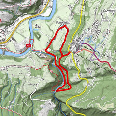
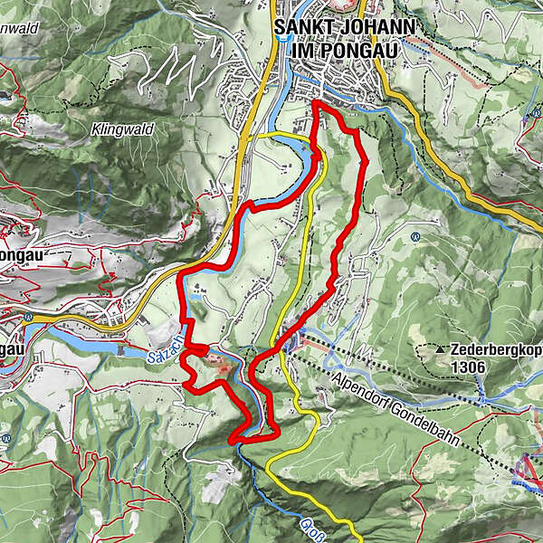
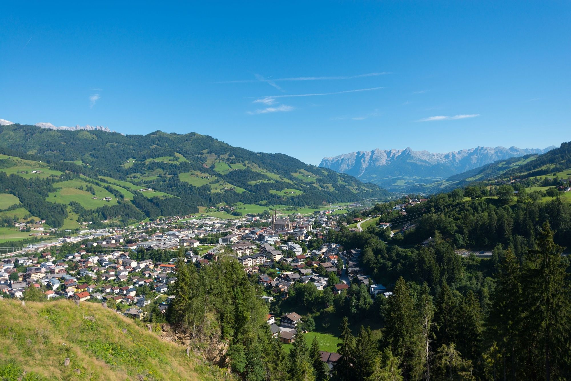
Kraftwerk Plankenau - Zederberg - Alpendorf - Liechtensteinklamm - St. Veit/Schattseite - Kraftwerk Plankenau
- Difficulty
-
medium
- Rating
-
- Starting point
-
Kraftwerk Plankenau (power station)
- Route
-
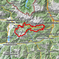
Sankt Johann im Pongau0.7 kmZederbergkapelle1.4 kmOber-Alpendorf2.8 kmAlpendorf3.3 kmKlammfürst4.9 kmOka-Bichl6.7 kmSankt Johann im Pongau9.9 km
- Best season
-
JanFebMarAprMayJunJulAugSepOctNovDec
- Description
-
The loop starts at the Plankenau power station, from here follow the road for approx. 600 m in the direction of the town centre. Opposite Hotel Lerch, follow the trail towards Alpendorf (via Zederberg) with a beautiful view of St. Johann. A 1.2 km trail with 200 m ascent follows. Then turn right into Alpendorf. At 4 km is the car park of the Alpendorf cable cars, from here take the subway under the main road and follow the trail downhill towards Liechtensteinklamm. After that, the most beautiful single trails come up, always keep to the left until you reach the entrance to the gorge. Here you cross the Großarler Ache over the bridge in the direction of St. Veit/Schattseite and follow the trail until you come out of the forest. Pass the barrier on the right and follow the road downhill for about 500 m. In the valley, take the Treppel path on the left. In the valley, take the Treppelweg to the left and cross the Salzach over the bridge. The way back leads along the Treppelweg/Tauernradweg to the next bridge, where you change sides of the river and then reach the starting point after approx. 200 m.
- Highest point
- 806 m
- Endpoint
-
Kraftwerk Plankenau (power station)
- Height profile
-

- Author
-
The tour Trailrun Liechtensteinklammrunde via Zederberg is used by outdooractive.com provided.