
- Brief description
-
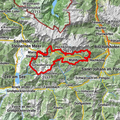
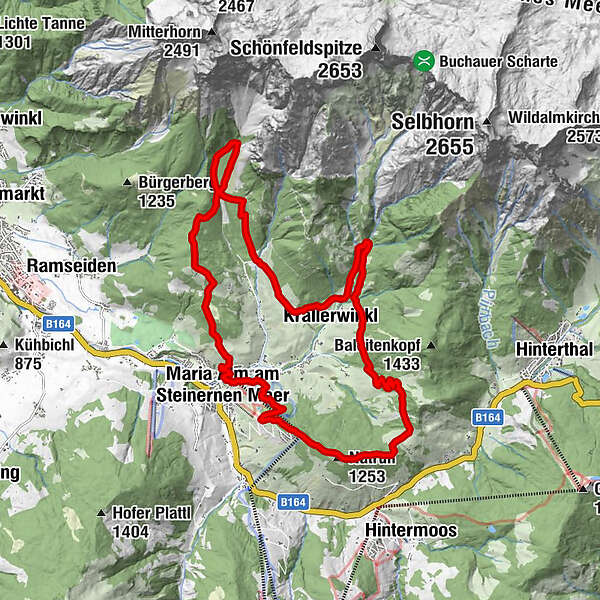
The Speed Trail with 21,7 km / 1280 hm+ is one of the most popular trails at the Hochkönigman Trailrunning Festival
- Difficulty
-
difficult
- Rating
-
- Starting point
-
Car park Natrunbahn
- Route
-
Maria Alm am Steinernen MeerSimmerllift0.2 kmNatrun (1,253 m)3.5 kmJufenalm4.7 kmWetterherrenkapelle4.8 kmKaseregg (1,088 m)10.1 kmKrallerwinkl11.6 kmHochreitshöhe18.7 kmMaria Alm am Steinernen Meer21.5 kmWallfahrtskirche Maria Alm21.7 km
- Best season
-
JanFebMarAprMayJunJulAugSepOctNovDec
- Description
-
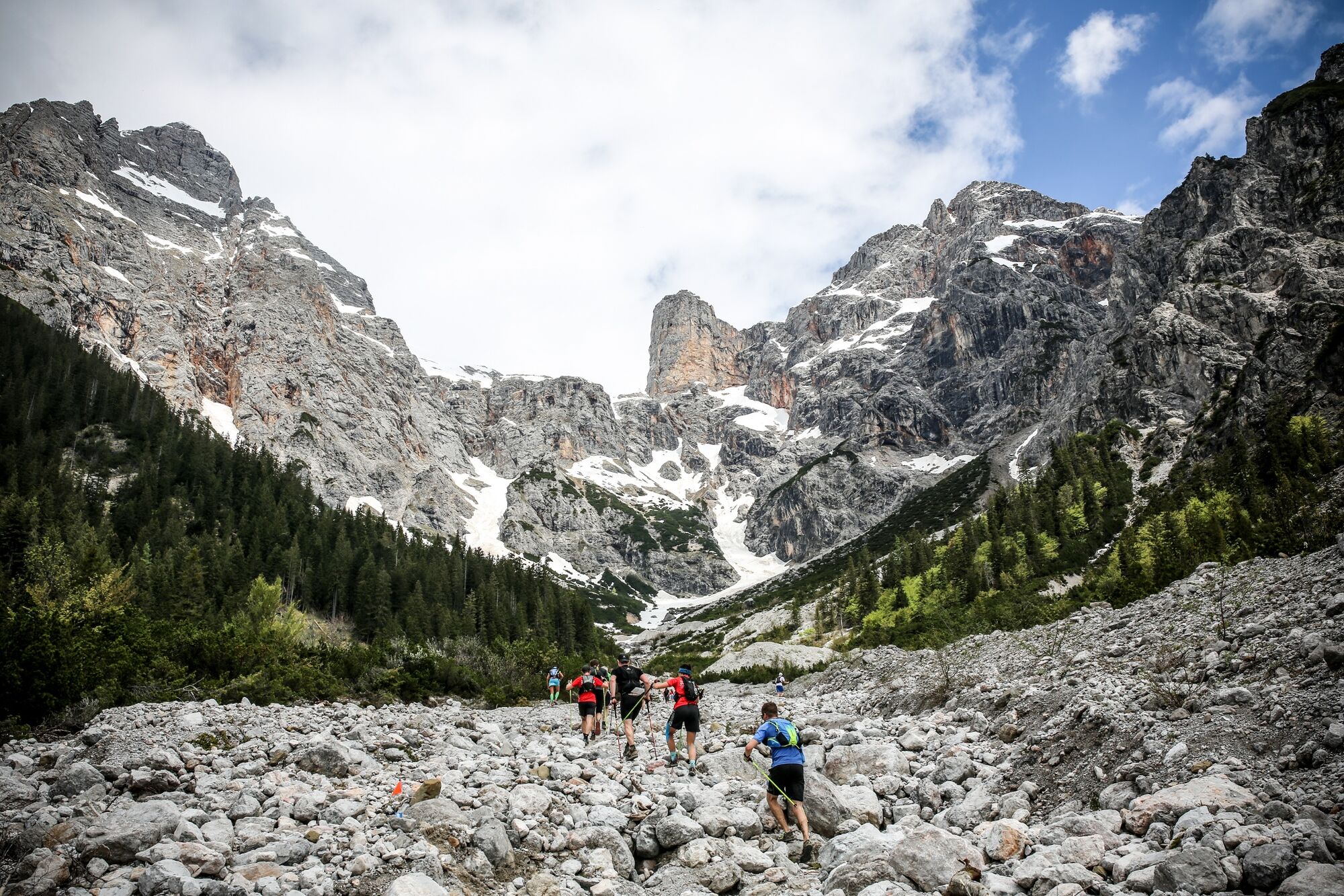
Great trail run in Maria Alm, which is not to be underestimated.The speed trail distance leads over asphalt, gravel and great single trails and is thus characterized as a very varied trail running circuit.
- Directions
-
After the start at the "Trailbase Hochkönigman" (car park at the Natrun cable car) at 807m, you walk past the Natrun cable car and a few metres behind it turn left and walk up an alpine path to the top station of the Natrun cable car. Once at the top, leave the mountain station on the right and walk straight through the forest rope park in the direction of Prinzensee and on to the Jufenalm. The trail continues uphill over some great forest trails before a short stab downhill and a short flat section to the Jufenalm.
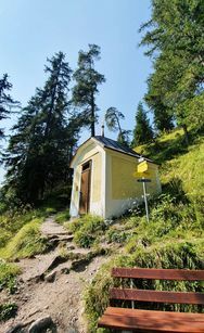
The Jufenalm is run around to the right - in the direction of the crisp climb up the Brimbachkögerl 1310m. Once at the top, you head downhill towards Krallerwinkel.At the end of the downhill you come to a road, follow this briefly and then take the second turning to the right. From here, take the forest road up to the Kaseregg Chapel and then, on the opposite side to the left, descend again via a trail towards the Rohrmoos car park.
After the car park, turn right, via Kraller to Liebmannhof. Past the Liebmannhof, you come to a forest road on the right. Here you go up a small, very steep trail to Tennhütte 1182m. Then turn right on this forest road and walk further up to Bilgerirast 1421m. Here you then turn left towards Fürstenbründl and leave the Ramseider Steig to the left in the direction of Hochreith/Maria Alm trail no. 22A.
Follow trail no. 21 in the direction of Maria Alm over the Dürrnberg and continue into the centre of Maria Alm over a bridge and then left into the "Hochkönigman Trailbase" (Natrunbahn car park). - Highest point
- 1,278 m
- Endpoint
-
Car park Natrunbahn
- Height profile
-

- Equipment
-
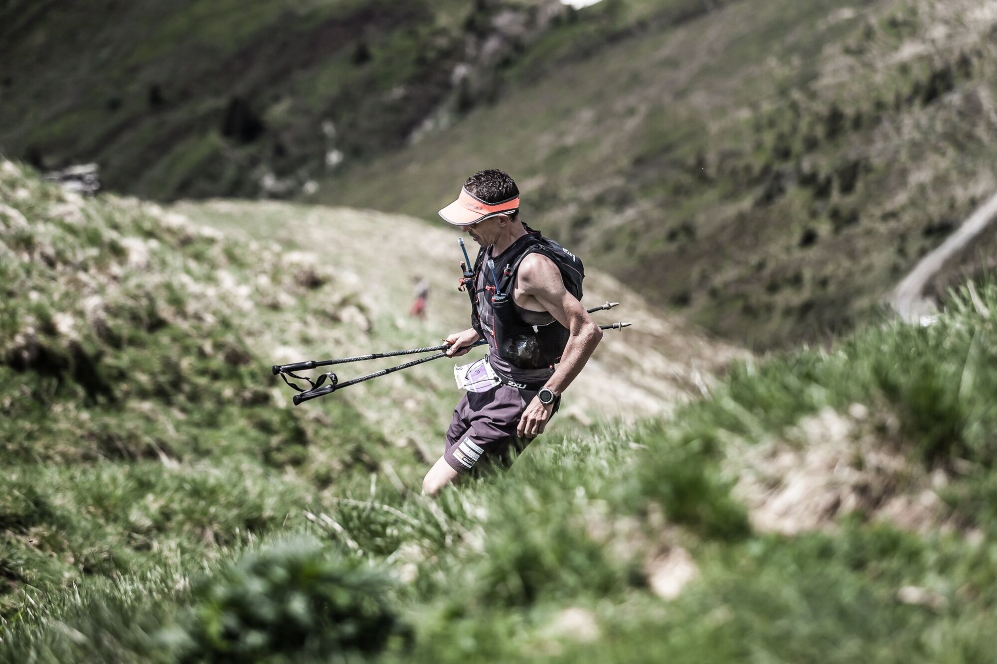
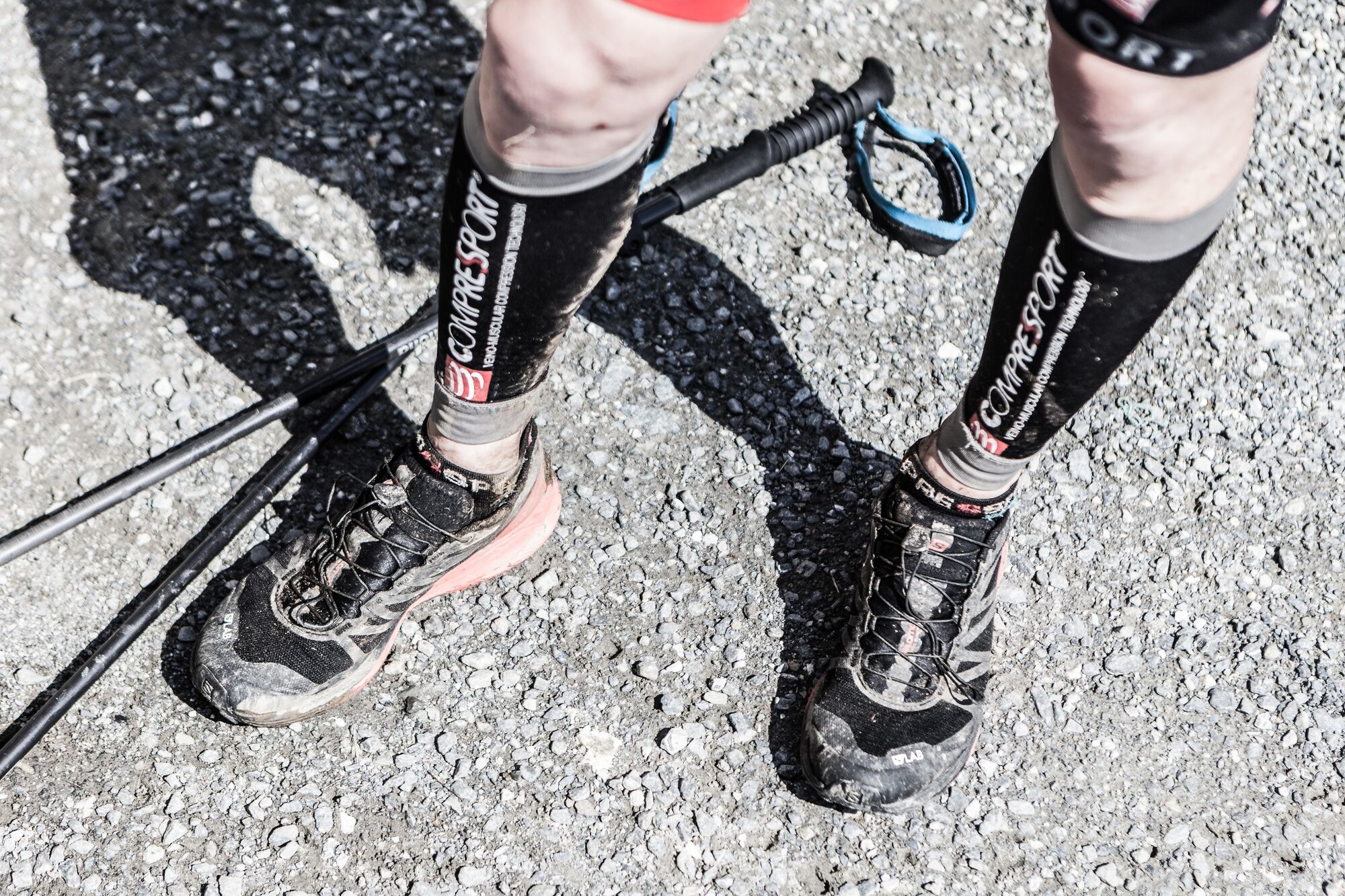
Trail running shoes
Sticks
Headgear
Sun protection
Sunglasses
Rain protection
Drinks and a snack
Necessary medication
First aid kit
Hiking map - Safety instructions
-
Self-assessment Check your physical fitness before each tour and assess your strength correctly!
Planning and preparation Plan each intended tour in detail beforehand.
Equipment On the mountain you need appropriate equipment and clothing, especially weather and cold protection are essential as the weather can often change unexpectedly.
Weather forecasts Take note of the current weather conditions at: www.zamg.at
Together Observe the 10 rules for the correct handling of grazing animals and do not leave any waste in nature!
Turn back in good time This is not a disgrace, but a sign of common sense. It becomes necessary when the weather changes, fog rolls in, and also when the path is too difficult or not in good condition.
Stay on the marked paths
Emergency numbers: Alpine emergency call: 140
International emergency call: 122 - Tips
-
In midsummer, do not start too late, as it gets very hot on the Ramseidersteig, due to its location.
- Additional information
- Directions
-
Coming from Salzburg: Take the A10 motorway to the Bischofshofen exit, then take the B311 towards Bischofshofen. Follow the Hochkönig Bundesstraße/B164 to Maria Alm.
Coming from Innsbruck/ Kufstein: Take the Loferer Straße/B178 in the direction of St. Johann i.T., then follow the Hochkönig Bundesstraße/B164 via Saalfelden to Maria Alm.
A valid vignette is required to use the Austrian motorway and motorway network. It is also compulsory to carry a first-aid kit, warning triangle and high-visibility waistcoat. Further information can be found under Asfinag. - Public transportation
- Parking
-
Free parking at the beginning of the village and in the center of Maria Alm

- Author
-
The tour HOCHKÖNIGMAN Speed Trail is used by outdooractive.com provided.