Kuchler Zeitreise: Zentrum - Georgenberg - Bürgerausee (4 points)


- Brief description
-
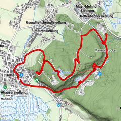
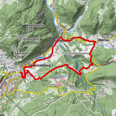
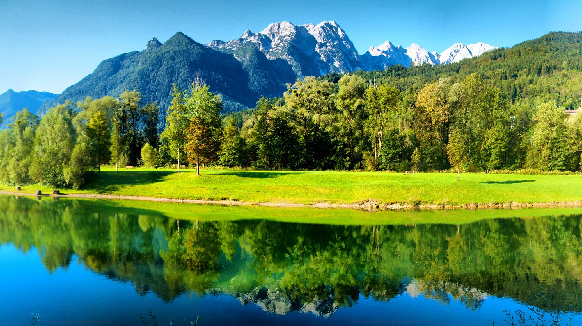
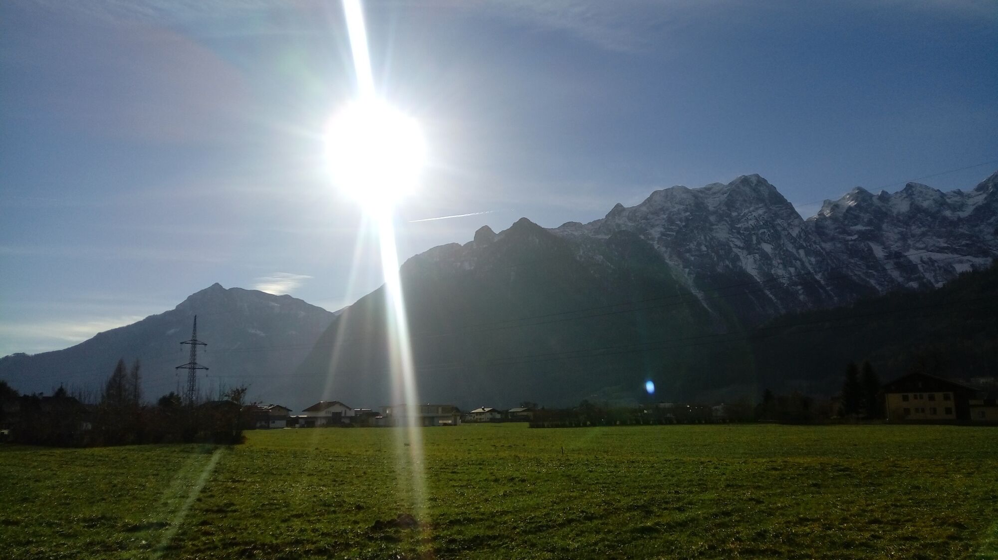
The shallow circular route from the municipal office in the town center to the Georgenberg and back via the Kuchler Markt to the Bürgerausee takes you on a journey through the history of the town.
- Route
-
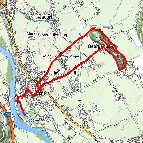
KuchlSeverinsiedlung II0.4 kmGeorgenberg1.2 kmFilialkirche zum Heiligen Georg2.6 kmKuchl5.5 km
- Description
-
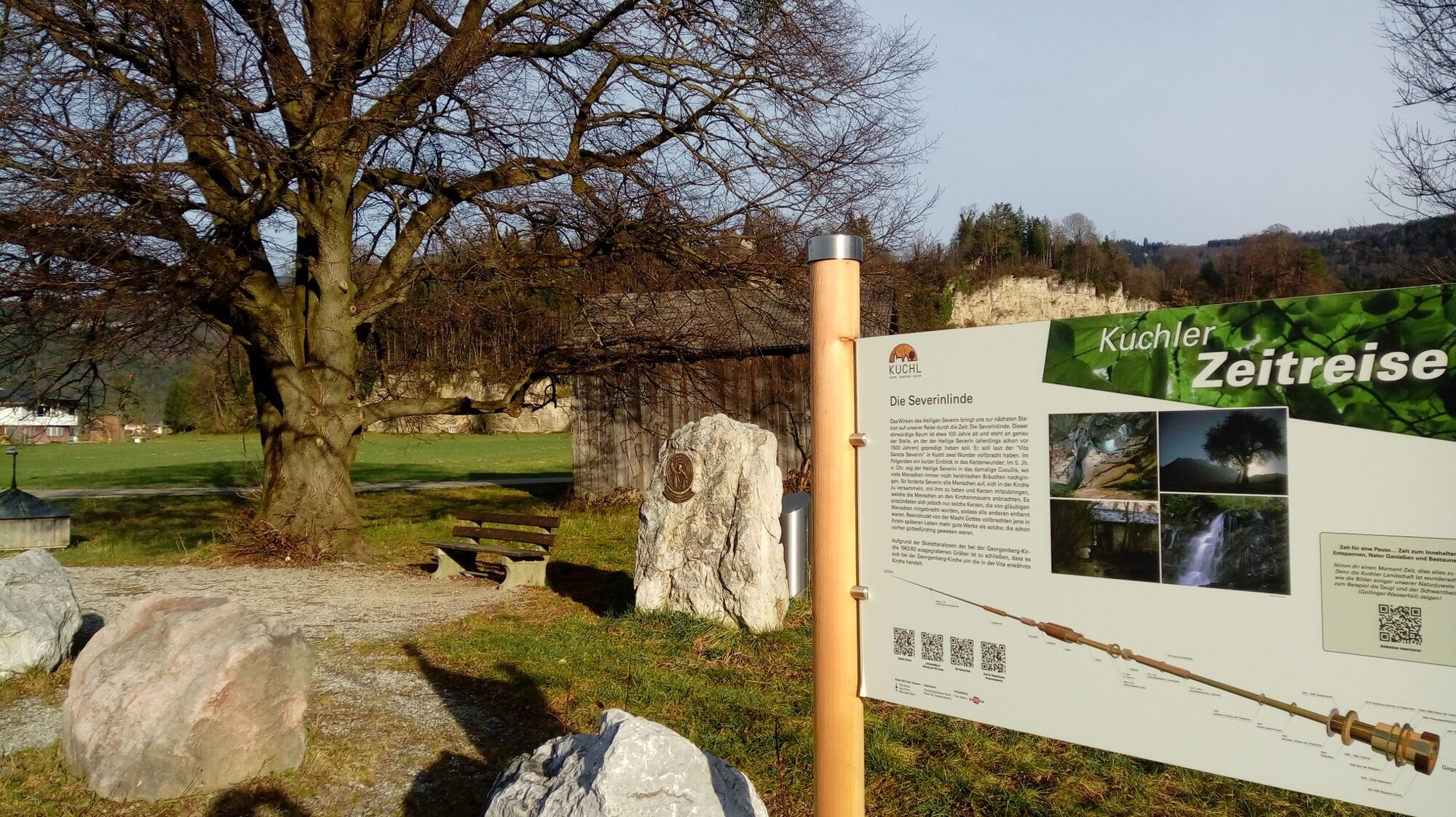
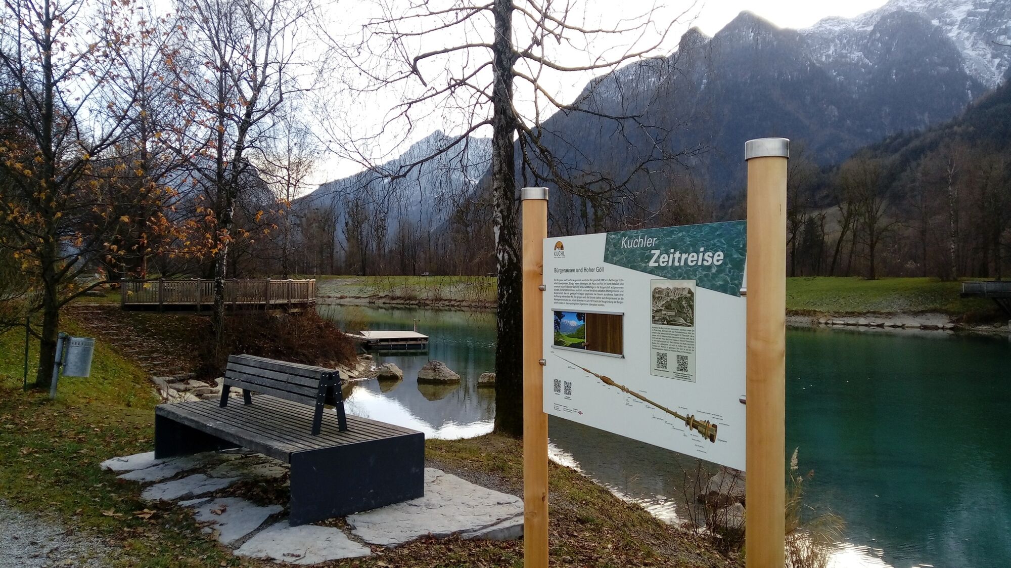
The "Kuchler Time Travel" is a themed circular route on which you can find out all sorts of interesting, worth knowing and curious things about the eventful life on and around the Georgenberg. Beginning with the Ice Age up to modern times, nine interactive Indo stations invite you to get to know Kuchler's history. With the help of QR codes, additional information, images and videos can be called up on each board.
- Directions
-
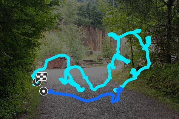
We start at the municipal office and follow the road straight towards Georgenberg. At the riding stable directly on the Bergl, we turn right onto the Berglweg. A short time later we come to a fork: Here you can decide whether you go straight up the mountain or whether you continue walking along the side to continue along the road at the back. At the top of the St. George branch church you can choose again and either follow the forest trail down the north side of the mountain or walk back down the road to complete the circuit of the mountain. At the bottom, we turn left in both cases and follow the road to the fork in the road. Here you turn left again to follow the Roman road straight ahead to the Severinlinde. From the Linde we go back briefly and immediately turn left into the next street to follow it straight ahead past the wood technology center in the direction of the city center. Turn left again at the Raiffeisenkasse and then right again at the next crossing across the market. Then we walk along the market, follow the right curve and turn left at the end of the street. The path leads us straight ahead under the railway underpass, past the park and left again in the direction of Bürgerausee. If we are standing directly at the lake, we follow the path to the left to get to the last station on our journey through time, which is located at the next rest area.
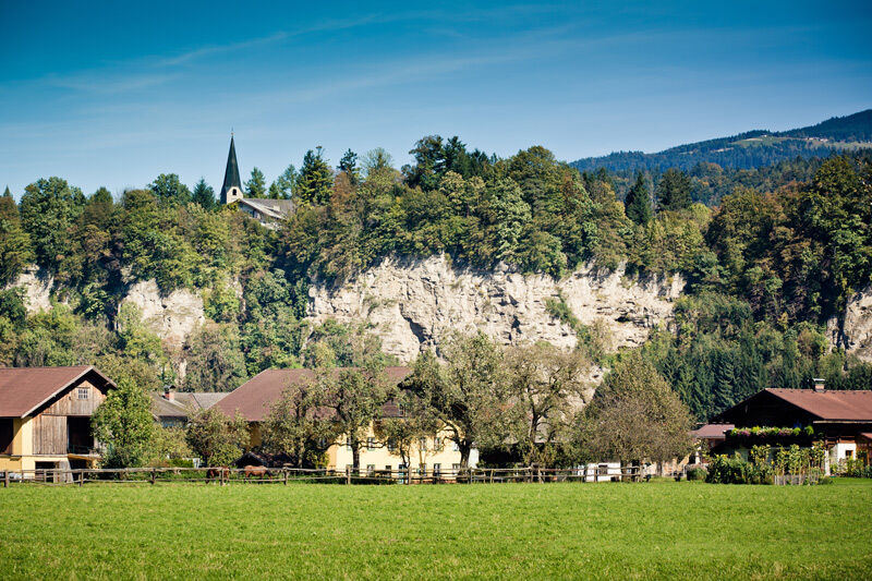
The stamping point for the Tennengau hiking pass is on the Georgenberg near the church of St. Georg.
- Highest point
- 523 m
- Endpoint
-
Bürgerausee Kuchl
- Height profile
-

- Additional information
-
Brochures on the Kuchler journey through time are available from the Kuchl tourist office: www.kuchl-info.at


-

-
AuthorThe tour Kuchler Zeitreise: Zentrum - Georgenberg - Bürgerausee (4 points) is used by outdooractive.com provided.


-
Tennengau - Dachstein West
1999
-
Kuchl
539